Pin Green
Settlement in Hertfordshire Stevenage
England
Pin Green
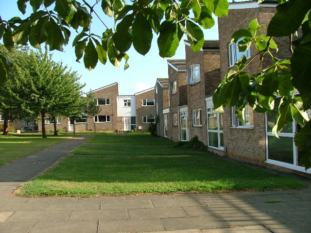
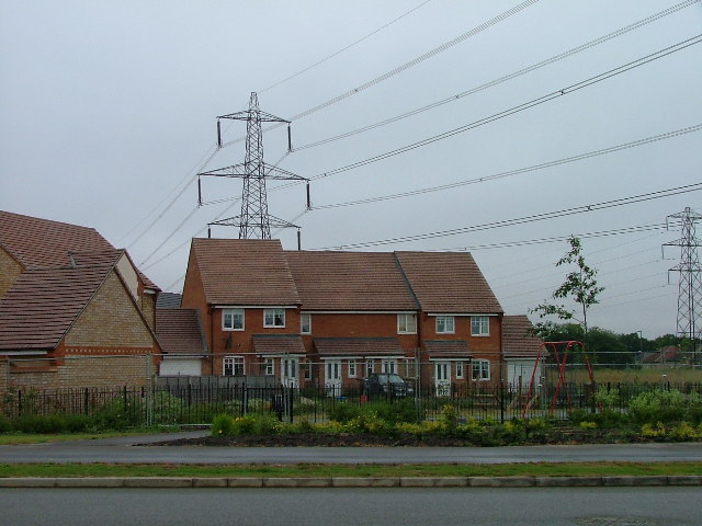
Pin Green is a residential area located in the town of Stevenage, Hertfordshire, England. Situated on the eastern outskirts of the town, it is approximately 30 miles north of London. The area is primarily residential, with a mix of housing options including detached houses, semi-detached houses, and low-rise apartment blocks.
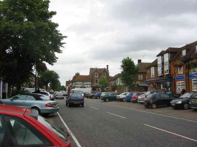
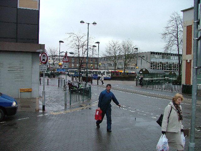
Pin Green benefits from its proximity to a range of amenities and facilities. The nearby Roaring Meg Retail Park offers a wide selection of shops, including major retailers, supermarkets, and dining options. The area is also well-served by public transportation, with several bus routes connecting Pin Green to the town center and surrounding areas.
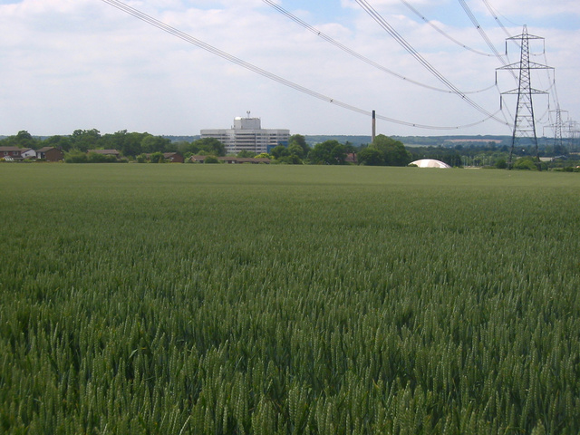
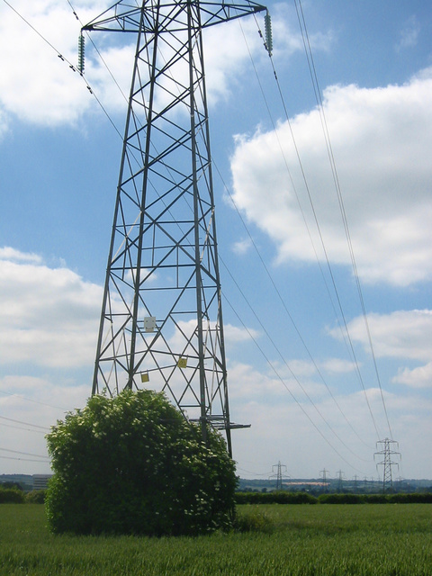
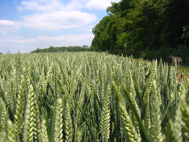
One of the notable features of Pin Green is its green spaces. The Pin Green Recreation Ground provides locals with ample opportunities for outdoor activities, including sports fields, a playground, and a skate park. Additionally, the area is surrounded by picturesque countryside, making it an ideal location for those who enjoy nature and outdoor pursuits.
Pin Green is home to a diverse community, with residents from various backgrounds and age groups. The area is known for its friendly and welcoming atmosphere, with a strong sense of community spirit. Local schools and healthcare facilities are easily accessible, making it an attractive place to live for families.
In summary, Pin Green offers a peaceful and convenient residential environment, with easy access to amenities, green spaces, and transport links. It is a popular choice for those seeking a suburban lifestyle within close proximity to both natural beauty and urban conveniences.
If you have any feedback on the listing, please let us know in the comments section below.
Pin Green Images
Images are sourced within 2km of 51.915558/-0.188184 or Grid Reference TL2425. Thanks to Geograph Open Source API. All images are credited.


Pin Green is located at Grid Ref: TL2425 (Lat: 51.915558, Lng: -0.188184)
Administrative County: Hertfordshire
District: Stevenage
Police Authority: Hertfordshire
What 3 Words
///divisions.trials.firm. Near Stevenage, Hertfordshire
Nearby Locations
Related Wikis

St Nicholas' Church, Stevenage
St Nicholas' Church is an Anglican parish church in Stevenage, a town in Hertfordshire, England. It occupies a hilltop site above Old Stevenage. It is...

Barclay Academy
Barclay Academy is a secondary school and sixth form located in Stevenage, Hertfordshire, England. The current head teacher is Dr. Matthew Laban. Opening...

Rooks Nest House
Rooks Nest House is a house on Weston Road, Stevenage, Hertfordshire. It was the childhood home of the author E. M. Forster (1879–1970) who described it...

The Thomas Alleyne Academy
The Thomas Alleyne Academy is an Academy in Stevenage, Hertfordshire, England. It was founded in 2013, but can trace its roots back to 1558, when the...

The Nobel School
The Nobel School is a co-educational secondary school and sixth form located in Stevenage in the English county of Hertfordshire. == History == The Nobel...
Marriotts School
Marriotts School is a secondary school in Stevenage, Hertfordshire, England. The school was rebuilt along with Lonsdale School (for special needs children...

Ditchmore Lane
Ditchmore Lane is a cricket ground in Stevenage, Hertfordshire. The first recorded match on the ground was in 1921, when Hertfordshire played their first...

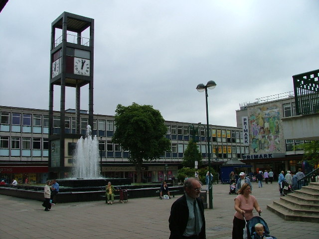
Stevenage Clock Tower
Stevenage Clock Tower is a Grade II listed structure in Town Square in the centre of Stevenage New Town. A panel on the tower records the visit of Elizabeth...
Nearby Amenities
Located within 500m of 51.915558,-0.188184Have you been to Pin Green?
Leave your review of Pin Green below (or comments, questions and feedback).