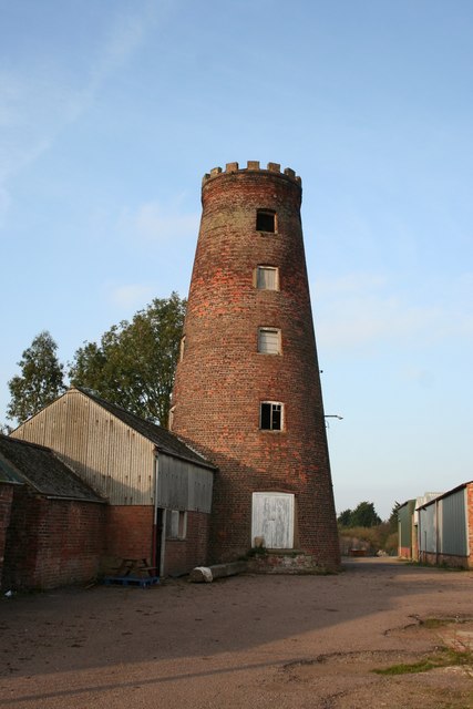
Pinchbeck
Settlement in Lincolnshire South Holland
England
Pinchbeck
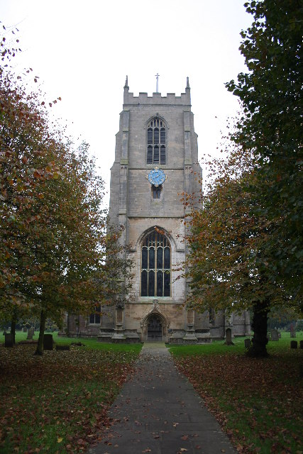
Pinchbeck is a village located in the South Holland district of Lincolnshire, England. Situated approximately 5 miles north of the market town of Spalding, Pinchbeck has a population of around 6,000 residents. The village is bordered by the River Glen to the east and the A16 road to the west, providing convenient transportation links.
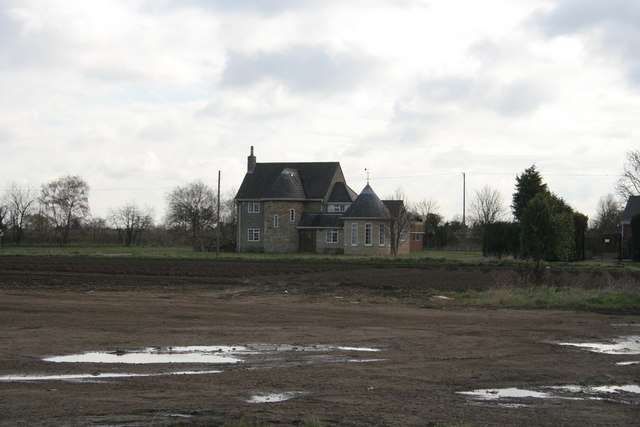
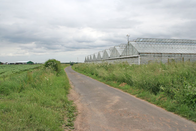
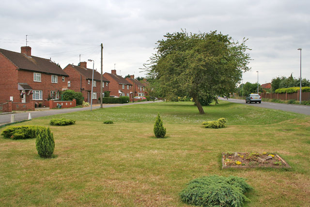
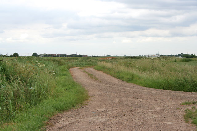
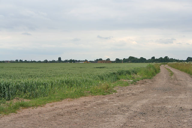
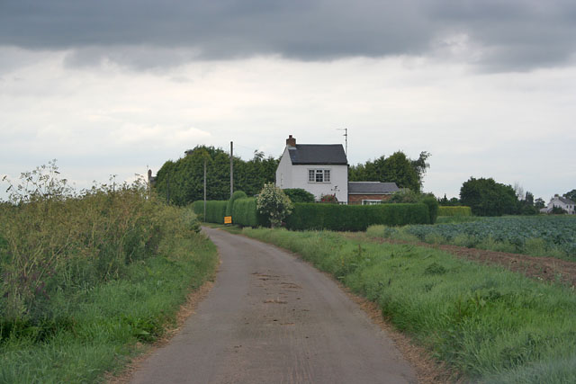
Historically, Pinchbeck was an agricultural community, known for its fertile soil and prosperous farming industry. However, in recent years, the village has seen significant residential development, with many new housing estates being built to accommodate the growing population. Despite this expansion, Pinchbeck has managed to maintain its rural charm and village character.
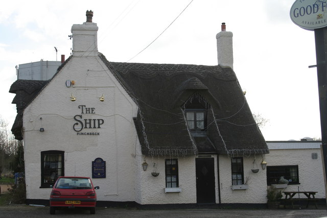
The village offers a range of amenities, including several local shops, a post office, a primary school, and a medical center. Additionally, there are numerous community groups and sports clubs that provide recreational activities for residents. Pinchbeck also benefits from its proximity to Spalding, which offers a wider range of services and facilities, including secondary schools, supermarkets, and a hospital.
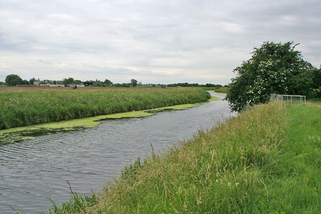
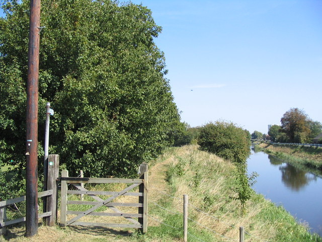
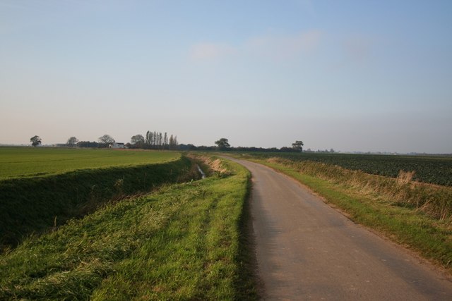
The surrounding countryside of Pinchbeck is picturesque and ideal for outdoor enthusiasts. The area is known for its flat landscape, making it popular for walking, cycling, and horse riding. Additionally, Pinchbeck is close to the Lincolnshire Wolds, an Area of Outstanding Natural Beauty, providing further opportunities for exploration and outdoor pursuits.
Overall, Pinchbeck is a vibrant village with a strong sense of community and an attractive rural setting, making it a desirable place to live in Lincolnshire.
If you have any feedback on the listing, please let us know in the comments section below.
Pinchbeck Images
Images are sourced within 2km of 52.816494/-0.165968 or Grid Reference TF2325. Thanks to Geograph Open Source API. All images are credited.


Pinchbeck is located at Grid Ref: TF2325 (Lat: 52.816494, Lng: -0.165968)
Division: Parts of Holland
Administrative County: Lincolnshire
District: South Holland
Police Authority: Lincolnshire
What 3 Words
///speedy.inflation.proven. Near Pinchbeck, Lincolnshire
Nearby Locations
Related Wikis

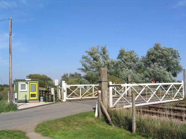
Pinchbeck railway station
Pinchbeck railway station was a station in Pinchbeck, Lincolnshire, England on the line between Spalding and Sleaford. The station opened in 1882, closed...

Pinchbeck, Lincolnshire
Pinchbeck is a village and civil parish in the South Holland district of Lincolnshire, England. The civil parish population was 5,153 at the 2001 census...

Spalding Power Station
Spalding Power Station is a 860 MW gas-fired power station one mile north of Spalding on West Marsh Road close to the River Welland. The current site provides...
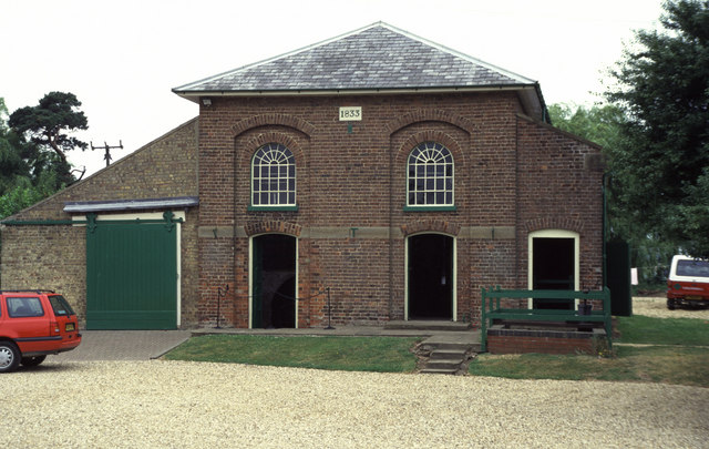
Pinchbeck Engine
The Pinchbeck Engine is a drainage engine, a rotative beam engine built in 1833 to drain Pinchbeck Marsh, to the north of Spalding, Lincolnshire, in England...

Surfleet
Surfleet is a small village and civil parish in the South Holland district of Lincolnshire, England. It is situated on the B1356 road, 3 miles (4.8 km...

Spalding bus station
Spalding bus station is a bus station in Spalding, Lincolnshire. It is owned and operated by South Holland District Council. == History == Plans for the...
Pinchbeck United F.C.
Pinchbeck United Football Club is a football club based in Pinchbeck, Lincolnshire, England. They are currently members of the United Counties League Premier...
Spalding United F.C.
Spalding United Football Club is a football club based in Spalding, Lincolnshire, England. The club are currently members of the Northern Premier League...
Nearby Amenities
Located within 500m of 52.816494,-0.165968Have you been to Pinchbeck?
Leave your review of Pinchbeck below (or comments, questions and feedback).