Almond Spring

Wood, Forest in Hertfordshire Stevenage

England

Almond Spring

Edge of Stevenage Taken from TL 237 268 looking towards Lister Hospital in the distance
Edge of Stevenage Credit: Paul Dixon

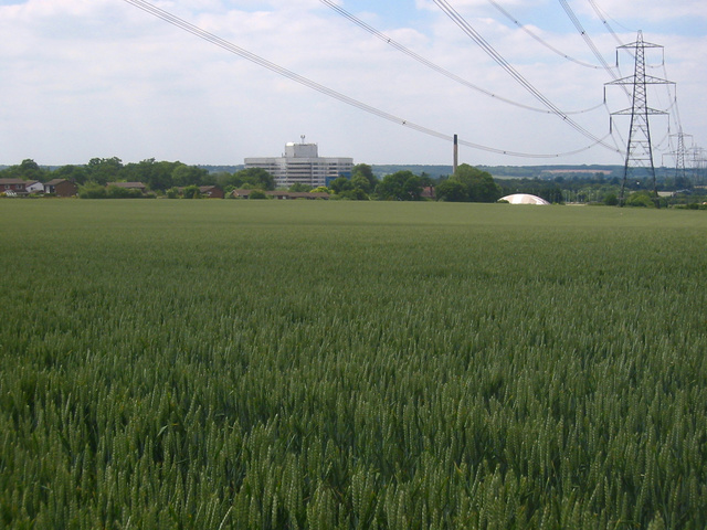
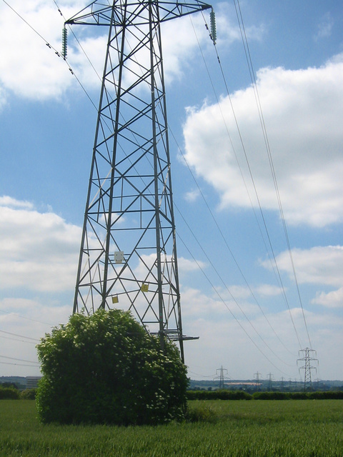
Almond Spring is a serene and picturesque woodland located in the county of Hertfordshire, England. Nestled amidst the stunning countryside, this enchanting forest covers an area of approximately 500 acres, captivating visitors with its natural beauty and diverse ecological features.

As one explores Almond Spring, they are greeted by a myriad of majestic oak, beech, and ash trees that tower above, creating a canopy of greenery. The forest floor is adorned with a vibrant array of wildflowers, ferns, and mosses, adding to the enchanting atmosphere.

The woodland is crisscrossed by a network of well-maintained footpaths, allowing visitors to immerse themselves in the tranquility of nature. These trails wind their way through the forest, leading to hidden clearings and babbling brooks, providing opportunities for peaceful walks and picnics amidst the serene surroundings.

Almond Spring is also home to a diverse range of wildlife. Bird enthusiasts can spot various species, including woodpeckers, owls, and thrushes, while small mammals such as foxes, rabbits, and squirrels can be spotted darting among the trees. The forest is also home to a rich variety of insects, butterflies, and dragonflies, adding to the biodiversity of the area.

This woodland gem is a popular destination for nature lovers, hikers, and families seeking a peaceful retreat from the hustle and bustle of everyday life. Whether it's a leisurely stroll, a picnic with loved ones, or birdwatching, Almond Spring offers a sanctuary of natural beauty and tranquility for all who visit.

If you have any feedback on the listing, please let us know in the comments section below.

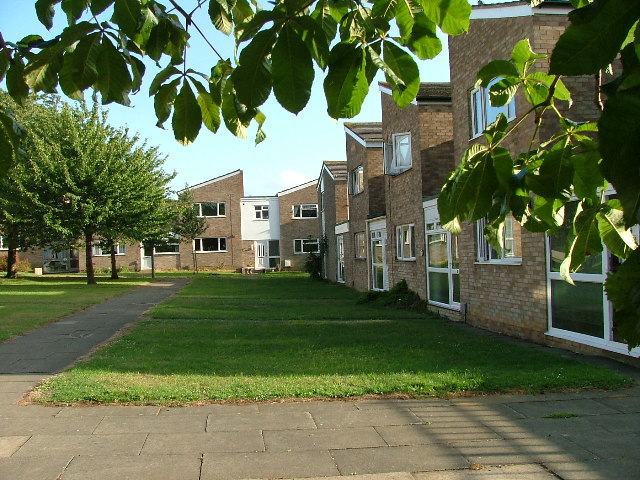
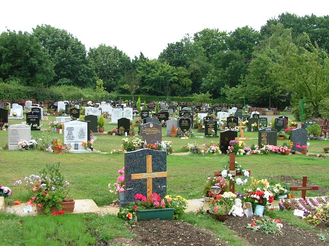
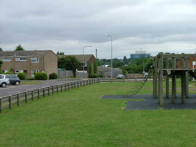
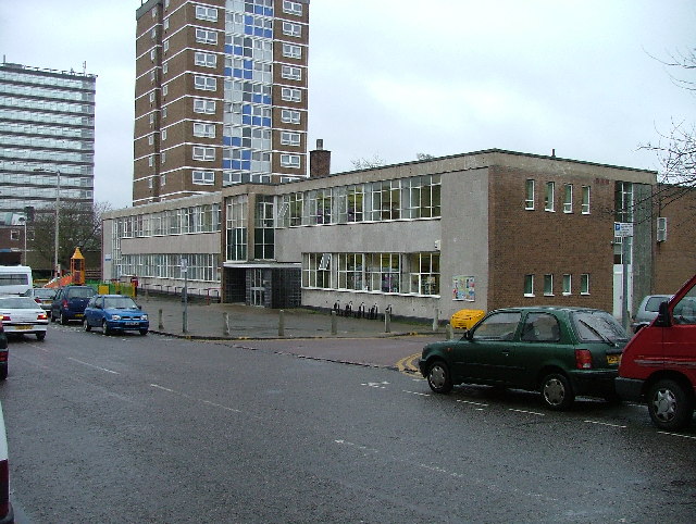
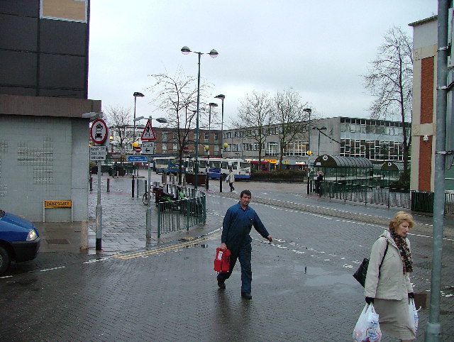
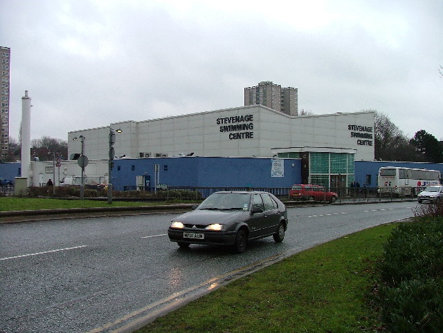
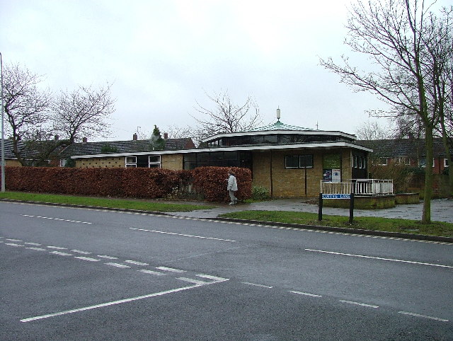
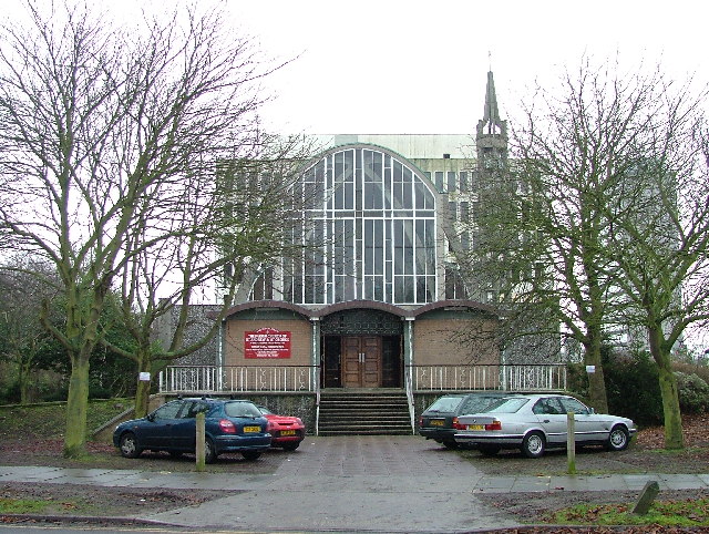
Almond Spring Images

Images are sourced within 2km of 51.913164/-0.19212714 or Grid Reference TL2425. Thanks to Geograph Open Source API. All images are credited.

Edge of Stevenage Taken from TL 237 268 looking towards Lister Hospital in the distance
Edge of Stevenage
Taken from TL 237 268 looking towards Lister Hospital in the distance
Graveley Pylons Taken from TL 239 270 between Graveley and Stevenage, this line of pylons is running towards Hitchin, although the one in the foreground seems to morphing into a tree!
Graveley Pylons
Taken from TL 239 270 between Graveley and Stevenage, this line of pylons is running towards Hitchin, although the one in the foreground seems to morphing into a tree!
Stevenage  Old Town Old towns suffer from the motor car especially when nose in parking is the rule
Stevenage Old Town
Old towns suffer from the motor car especially when nose in parking is the rule
South end of Fairlands Valley Park. This photograph was taken facing north into Fairlands Valley Park from the car park used for Stevenage Borough FC (see TL2422).  This park is also used for travelling fairs and circuses.
South end of Fairlands Valley Park.
This photograph was taken facing north into Fairlands Valley Park from the car park used for Stevenage Borough FC (see TL2422). This park is also used for travelling fairs and circuses.
Stevenage Town Centre The clock tower features a memorial to Lewis Silkin, the Minister for Town and Country Planning.
Stevenage Town Centre
The clock tower features a memorial to Lewis Silkin, the Minister for Town and Country Planning.
Fairlands Valley Park This large lake is used by sailors and fishermen.  This photo is taken facing south.  To the rear there are two smaller lakes.  The park is very popular in the summer.
Fairlands Valley Park
This large lake is used by sailors and fishermen. This photo is taken facing south. To the rear there are two smaller lakes. The park is very popular in the summer.
Silam Rd. To the right are houses not untypical of Stevenage new town.  Looming over Silam Rd is one of a pair of high rise flats close to the town centre.
Silam Rd.
To the right are houses not untypical of Stevenage new town. Looming over Silam Rd is one of a pair of high rise flats close to the town centre.
Mildmay Road. These houses were built in a variety of styles.  These are not untypical but some of the architectural styles bring their own maintenance problems.
Mildmay Road.
These houses were built in a variety of styles. These are not untypical but some of the architectural styles bring their own maintenance problems.
Hampson Park / Pin Green Water Tower. Although this water tower is right on the edge of this square I have used it because it dominates the locality.  The large flat construction on the left, behind the fence, is a covered reservoir.  The tower is now bristling with aerials of all sorts.
Hampson Park / Pin Green Water Tower.
Although this water tower is right on the edge of this square I have used it because it dominates the locality. The large flat construction on the left, behind the fence, is a covered reservoir. The tower is now bristling with aerials of all sorts.
Weston Rd Cemetery Although Weston Rd Cemetery takes up a relatively small portion of this square, Stevenage has lots and lots of houses but only two cemeteries.
Weston Rd Cemetery
Although Weston Rd Cemetery takes up a relatively small portion of this square, Stevenage has lots and lots of houses but only two cemeteries.
Scarborough Avenue playground. Taken from Scarborough Avenue playground, in the distance, past the houses, the Lister Hospital (TL2226) can be seen.
Scarborough Avenue playground.
Taken from Scarborough Avenue playground, in the distance, past the houses, the Lister Hospital (TL2226) can be seen.
Telford Avenue. On the edge of TL2525..  I wasn't going any further into this estate.  I always get lost even though it's not that big by local standards.  This estate, in common with others in the area suffers from the increase in car ownership.  Parking is awkward, the roads not wide and the layout is twisting.
Telford Avenue.
On the edge of TL2525.. I wasn't going any further into this estate. I always get lost even though it's not that big by local standards. This estate, in common with others in the area suffers from the increase in car ownership. Parking is awkward, the roads not wide and the layout is twisting.
Trig point at Lonsdale School I swear that tree was not there when I took the photo.

This Trig point is in the playing field of a special needs school caring for 75 children between the ages of 2 and 19 from London, Bedfordshire and Hertfordshire.
Trig point at Lonsdale School
I swear that tree was not there when I took the photo. This Trig point is in the playing field of a special needs school caring for 75 children between the ages of 2 and 19 from London, Bedfordshire and Hertfordshire.
Stevenage Library Charactaristic of many of the buildings in this area.  Most of this end of the town is due for demolition.
Stevenage Library
Charactaristic of many of the buildings in this area. Most of this end of the town is due for demolition.
Stevenage Bus Station. Taken from the Matalan car park.
Stevenage Bus Station.
Taken from the Matalan car park.
Stevenage Swimming Pool The bus to the right is dropping children off for a drowning lesson.
Stevenage Swimming Pool
The bus to the right is dropping children off for a drowning lesson.
Religious Society of Friends meeting house Unprepossessing and in the shadow (almost literally) of the larger, church next door (St Andrew and St George)
Religious Society of Friends meeting house
Unprepossessing and in the shadow (almost literally) of the larger, church next door (St Andrew and St George)
Parish Church of St Andrew and St George - Stevenage. Below the church is Stevenage museum.
Parish Church of St Andrew and St George - Stevenage.
Below the church is Stevenage museum.
Show me another place!

Almond Spring is located at Grid Ref: TL2425 (Lat: 51.913164, Lng: -0.19212714)

Administrative County: Hertfordshire

District: Stevenage

Police Authority: Hertfordshire

What 3 Words

///assume.grit.toys. Near Stevenage, Hertfordshire

Related Wikis

Barclay Academy

Barclay Academy is a secondary school and sixth form located in Stevenage, Hertfordshire, England. The current head teacher is Dr. Matthew Laban. Opening...

St Nicholas' Church, Stevenage

St Nicholas' Church is an Anglican parish church in Stevenage, a town in Hertfordshire, England. It occupies a hilltop site above Old Stevenage. It is...

The Thomas Alleyne Academy

The Thomas Alleyne Academy is an Academy in Stevenage, Hertfordshire, England. It was founded in 2013, but can trace its roots back to 1558, when the...

Ditchmore Lane

Ditchmore Lane is a cricket ground in Stevenage, Hertfordshire. The first recorded match on the ground was in 1921, when Hertfordshire played their first...

Rooks Nest House

Rooks Nest House is a house on Weston Road, Stevenage, Hertfordshire. It was the childhood home of the author E. M. Forster (1879–1970) who described it...

Stevenage Clock Tower

Stevenage Clock Tower is a Grade II listed structure in Town Square in the centre of Stevenage New Town. A panel on the tower records the visit of Elizabeth...

Stevenage

Stevenage ( STEE-vən-ij) is a large town and borough in Hertfordshire, England, about 27 miles (43 km) north of London. Stevenage is east of junctions...

Marriotts School

Marriotts School is a secondary school in Stevenage, Hertfordshire, England. The school was rebuilt along with Lonsdale School (for special needs children...

Nearby Amenities

Located within 500m of 51.913164,-0.19212714
Traffic Calming: island
Lat/Long: 51.9158483/-0.1924362
Crossing
Crossing: unmarked
Crossing Island: no
Kerb: lowered
Tactile Paving: no
Lat/Long: 51.9154798/-0.1919468
Bus Stop
Allotment Gardens
Bench: yes
Bin: no
Naptan AtcoCode: 210021201860
Naptan Bearing: NW
Naptan CommonName: Allotment Gardens
Naptan Crossing: Haycroft Road
Naptan Indicator: adj
Naptan Landmark: Haycroft Road
Naptan NaptanCode: hrtdwtmd
Naptan PlusbusZoneRef: STEVNGE
Naptan ShortCommonName: NA
Naptan Street: Grace Way
Shelter: yes
Source: naptan_import
Tactile Paving: yes
Lat/Long: 51.9111548/-0.1929989
Bus Stop
Sish Lane
Bench: no
Bin: yes
Lit: yes
Local Ref: NR
Naptan AtcoCode: 210021201880
Naptan Bearing: N
Naptan CommonName: Sish Lane
Naptan Crossing: Sish Lane
Naptan Indicator: nr
Naptan Landmark: Sish Lane
Naptan NaptanCode: hrtdwtmg
Naptan PlusbusZoneRef: STEVNGE
Naptan ShortCommonName: NA
Naptan Street: Grace Way
Naptan Verified: no
Shelter: no
Source: naptan_import
Lat/Long: 51.9086655/-0.1920809
Bus Stop
Cemetery
Bench: yes
Bin: yes
Lit: yes
Local Ref: NR
Naptan AtcoCode: 210021201900
Naptan Bearing: N
Naptan CommonName: Cemetery
Naptan Crossing: Aldmonds Lane
Naptan Indicator: nr
Naptan Landmark: Aldmonds Lane
Naptan NaptanCode: hrtdwtmj
Naptan PlusbusZoneRef: STEVNGE
Naptan ShortCommonName: NA
Naptan Street: Grace Way
Shelter: yes
Source: naptan_import
Tactile Paving: yes
Lat/Long: 51.9146138/-0.1928497
Bus Stop
Larwood School
Bench: no
Bin: no
Lit: yes
Naptan AtcoCode: 210021202025
Naptan Bearing: N
Naptan CommonName: Larwood School
Naptan Crossing: Pin Green JMI School
Naptan Indicator: opp
Naptan Landmark: Pin Green JMI School
Naptan NaptanCode: hrtdwtgp
Naptan PlusbusZoneRef: STEVNGE
Naptan ShortCommonName: NA
Naptan Street: Lonsdale Road
Naptan Verified: no
Shelter: no
Source: naptan_import
Tactile Paving: no
Lat/Long: 51.9097712/-0.189613
Bus Stop
The Almond Tree PH
Bench: no
Bin: no
Lit: yes
Naptan AtcoCode: 210021202030
Naptan Bearing: N
Naptan CommonName: The Almond Tree PH
Naptan Crossing: Webb Rise
Naptan Indicator: o/s
Naptan Landmark: Webb Rise
Naptan NaptanCode: hrtdwtgt
Naptan PlusbusZoneRef: STEVNGE
Naptan ShortCommonName: NA
Naptan Street: Lonsdale Road
Naptan Verified: no
Shelter: no
Source: naptan_import
Tactile Paving: no
Lat/Long: 51.9132012/-0.189286
Bus Stop
Ellis Avenue
Naptan AtcoCode: 210021202130
Naptan Bearing: N
Naptan CommonName: Ellis Avenue
Naptan Crossing: Rowan Crescent
Naptan Indicator: N-bound
Naptan Landmark: Rowan Crescent
Naptan NaptanCode: hrtdwtjt
Naptan PlusbusZoneRef: STEVNGE
Naptan ShortCommonName: NA
Naptan Street: Walkern Road
Naptan Verified: no
Source: naptan_import
Lat/Long: 51.9146524/-0.1983009
Bus Stop
Greydells Road
Naptan AtcoCode: 210021202145
Naptan Bearing: E
Naptan CommonName: Greydells Road
Naptan Crossing: Longcroft Road
Naptan Indicator: E-bound
Naptan Landmark: Longcroft Road
Naptan NaptanCode: hrtdwtaw
Naptan PlusbusZoneRef: STEVNGE
Naptan ShortCommonName: NA
Naptan Street: Haycroft Road
Naptan Verified: no
Source: naptan_import
Lat/Long: 51.9111732/-0.1971753
Bus Stop
Aldcock Road
Naptan AtcoCode: 210021202150
Naptan Bearing: N
Naptan BusStopType: CUS
Naptan CommonName: Aldcock Road
Naptan Crossing: Whitesmead Road
Naptan Indicator: N-bound
Naptan Landmark: Whitesmead Road
Naptan NaptanCode: hrtdwtda
Naptan PlusbusZoneRef: STEVNGE
Naptan ShortCommonName: NA
Naptan Street: Aldcock Road
Naptan Verified: no
Source: naptan_import
Lat/Long: 51.9133157/-0.1967405
Bus Stop
Lonsdale Road
Bench: yes
Bin: no
Lit: yes
Naptan AtcoCode: 210021202180
Naptan Bearing: E
Naptan CommonName: Lonsdale Road
Naptan Crossing: Grace Way
Naptan Indicator: opp
Naptan Landmark: Grace Way
Naptan NaptanCode: hrtdwtdp
Naptan PlusbusZoneRef: STEVNGE
Naptan ShortCommonName: NA
Naptan Street: Vardon Road
Naptan Verified: no
Shelter: yes
Source: naptan_import
Tactile Paving: yes
Lat/Long: 51.9154436/-0.1906376
Bus Stop
Vardon Road
Bench: no
Bin: no
Lit: yes
Naptan AtcoCode: 210021202195
Naptan Bearing: S
Naptan CommonName: Vardon Road
Naptan Crossing: Vardon Road
Naptan Indicator: S-bound
Naptan Landmark: Vardon Road
Naptan NaptanCode: hrtdwtga
Naptan PlusbusZoneRef: STEVNGE
Naptan ShortCommonName: NA
Naptan Street: Wisden Road
Naptan Verified: no
Shelter: no
Source: naptan_import
Tactile Paving: no
Lat/Long: 51.9162712/-0.1889443
Bus Stop
Lonsdale Road
Bench: yes
Bin: yes
Lit: yes
Local Ref: NR
Naptan AtcoCode: 210021202560
Naptan Bearing: W
Naptan CommonName: Lonsdale Road
Naptan Crossing: Grace Way
Naptan Indicator: nr
Naptan Landmark: Grace Way
Naptan NaptanCode: hrtdwpjg
Naptan PlusbusZoneRef: STEVNGE
Naptan ShortCommonName: NA
Naptan Street: Vardon Road
Naptan Verified: no
Shelter: yes
Source: naptan_import
Tactile Paving: yes
Lat/Long: 51.9153662/-0.1903185
Bus Stop
Larwood School
Bench: no
Bin: no
Lit: yes
Naptan AtcoCode: 210021202745
Naptan Bearing: S
Naptan CommonName: Larwood School
Naptan Crossing: Pin Green JMI School
Naptan Indicator: o/s
Naptan Landmark: Pin Green JMI School
Naptan NaptanCode: hrtdwmwp
Naptan PlusbusZoneRef: STEVNGE
Naptan ShortCommonName: NA
Naptan Street: Lonsdale Road
Naptan Verified: no
Shelter: no
Source: naptan_import
Tactile Paving: no
Lat/Long: 51.9100568/-0.1894706
Bus Stop
The Almond Tree PH
Bench: yes
Bin: yes
Lit: yes
Naptan AtcoCode: 210021202750
Naptan Bearing: S
Naptan CommonName: The Almond Tree PH
Naptan Crossing: Hampson Park
Naptan Indicator: opp
Naptan Landmark: Hampson Park
Naptan NaptanCode: hrtdwmwt
Naptan PlusbusZoneRef: STEVNGE
Naptan ShortCommonName: NA
Naptan Street: Lonsdale Road
Naptan Verified: no
Shelter: yes
Source: naptan_import
Tactile Paving: yes
Lat/Long: 51.9136831/-0.1890485
Bus Stop
Cemetery
Bench: yes
Bin: no
Lit: yes
Naptan AtcoCode: 210021202800
Naptan Bearing: S
Naptan CommonName: Cemetery
Naptan Crossing: Almonds Lane
Naptan Indicator: opp
Naptan Landmark: Almonds Lane
Naptan NaptanCode: hrtdwmta
Naptan PlusbusZoneRef: STEVNGE
Naptan ShortCommonName: NA
Naptan Street: Grace Way
Shelter: yes
Source: naptan_import
Tactile Paving: yes
Lat/Long: 51.9141472/-0.1927633
Bus Stop
Allotment Gardens
Bench: yes
Bin: yes
Naptan AtcoCode: 210021202820
Naptan Bearing: SE
Naptan CommonName: Allotment Gardens
Naptan Crossing: Haycroft Road
Naptan Indicator: opp
Naptan Landmark: Haycroft Road
Naptan NaptanCode: hrtdwmtd
Naptan PlusbusZoneRef: STEVNGE
Naptan ShortCommonName: NA
Naptan Street: Grace Way
Naptan Verified: no
Shelter: yes
Source: naptan_import
Tactile Paving: yes
Lat/Long: 51.9107879/-0.1927125
Bus Stop
Sish Lane
Bench: yes
Bin: yes
Lit: yes
Naptan AtcoCode: 210021202840
Naptan Bearing: S
Naptan CommonName: Sish Lane
Naptan Crossing: Sish Lane
Naptan Indicator: opp
Naptan Landmark: Sish Lane
Naptan NaptanCode: hrtdwmtg
Naptan PlusbusZoneRef: STEVNGE
Naptan ShortCommonName: NA
Naptan Street: Grace Way
Naptan Verified: no
Shelter: yes
Source: naptan_import
Tactile Paving: yes
Lat/Long: 51.9087221/-0.1919029
Post Box
Collection Times: Mo-Fr 17:30; Sa 12:15
Post Box Type: pillar
Ref: SG1 365
Royal Cypher: EIIR
Royal Cypher Wikidata: Q33102113
Lat/Long: 51.912815/-0.190885
Post Box
Collection Times: Mo-Fr 17:30; Sa 12:30
Post Box Type: pillar
Ref: SG1 211
Lat/Long: 51.913059/-0.197268
Post Box
Collection Times: Mo-Fr 17:30; Sa 12:30
Post Box Type: pillar
Ref: SG1 314
Lat/Long: 51.915001/-0.19854
Pub
The Almond Tree
Addr City: Stevenage
Addr Housenumber: 553
Addr Postcode: SG1 5DZ
Addr Street: Lonsdale Road
Fhrs Id: 349486
Source Addr: FHRS Open Data
Lat/Long: 51.9130884/-0.1906517
Crossing
Crossing: unmarked
Crossing Island: no
Kerb: lowered
Lat/Long: 51.9161172/-0.1871153
Noexit: yes
Lat/Long: 51.9167937/-0.1886939
Community Centre
Community Centre
Addr City: Stevenage
Addr Housename: Community Centre
Addr Postcode: SG1 5QU
Addr Street: Webb Rise
Phone: +44 1438 354662
Lat/Long: 51.9134532/-0.1863403
Crossing
Crossing: unmarked
Crossing Island: no
Kerb: lowered
Tactile Paving: yes
Lat/Long: 51.9157488/-0.1888042
Waste Basket
Lat/Long: 51.9087542/-0.1919121
Waste Basket
Lat/Long: 51.9086947/-0.1920891
Waste Basket
Lat/Long: 51.9107804/-0.1926845
Waste Basket
Lat/Long: 51.9110501/-0.192946
Waste Basket
Lat/Long: 51.9114803/-0.1928602
Waste Basket
Lat/Long: 51.9146653/-0.192818
Bench
Backrest: yes
Lat/Long: 51.9158523/-0.1886237
Waste Basket
Lat/Long: 51.9136548/-0.1890253
Waste Basket
Lat/Long: 51.9123878/-0.1891387
Crossing
Crossing: unmarked
Crossing Island: no
Tactile Paving: yes
Lat/Long: 51.9124143/-0.1863639
Waste Basket
Lat/Long: 51.9122761/-0.1863706
Crossing
Crossing: unmarked
Crossing Island: no
Kerb: lowered
Tactile Paving: no
Lat/Long: 51.9123721/-0.1893286
Waste Basket
Lat/Long: 51.9091365/-0.1895437
Crossing
Crossing: unmarked
Crossing Island: no
Kerb: lowered
Lat/Long: 51.9127334/-0.1893951
Crossing
Crossing: unmarked
Crossing Island: no
Kerb: lowered
Tactile Paving: no
Lat/Long: 51.9133367/-0.1892688
Crossing
Crossing: unmarked
Crossing Island: no
Kerb: lowered
Lat/Long: 51.9138465/-0.1891923
Crossing
Crossing: unmarked
Crossing Island: no
Kerb: lowered
Tactile Paving: no
Lat/Long: 51.9146346/-0.1892273
Crossing
Crossing: unmarked
Traffic Calming: hump
Lat/Long: 51.9093355/-0.1893047
Waste Basket
Lat/Long: 51.9108027/-0.1895987
Waste Basket
Lat/Long: 51.9112329/-0.189364
Waste Basket
Lat/Long: 51.9154784/-0.1916385
Grit Bin
Lat/Long: 51.9170965/-0.1887041
Information: board
Tourism: information
Lat/Long: 51.9155144/-0.1868006
Bench
Lat/Long: 51.9142312/-0.1852247
Bench
Lat/Long: 51.9137445/-0.1876264
Noexit: yes
Lat/Long: 51.9163214/-0.1882455
Noexit: yes
Lat/Long: 51.9163305/-0.1888436
The data included in this document is from www.openstreetmap.org. The data is made available under ODbL.

Have you been to Almond Spring?

Leave your review of Almond Spring below (or comments, questions and feedback).