Westbere Copse
Wood, Forest in Middlesex
England
Westbere Copse
Westbere Copse is a picturesque woodland located in Middlesex, England. Covering an area of approximately 50 acres, it is known for its natural beauty and rich biodiversity. The copse is situated near the village of Westbere, just a few miles north of London, making it easily accessible for both locals and visitors.
The woodland is predominantly made up of native tree species such as oak, beech, and birch, creating a dense and enchanting canopy. The forest floor is covered in a thick layer of leaf litter, providing a habitat for a variety of plants, fungi, and invertebrates. Additionally, there are several small streams that meander through the copse, adding to its charm and ecological significance.
Westbere Copse is renowned for its diverse wildlife. It serves as a habitat for numerous bird species, including woodpeckers, warblers, and owls. The woodland is also home to mammals such as foxes, badgers, and squirrels, which can often be spotted darting among the trees. The copse is particularly important for bats, as it offers roosting sites and a rich source of insects for them to feed on.
The copse is a popular destination for nature enthusiasts, walkers, and families alike. It offers a tranquil escape from the hustle and bustle of city life and provides ample opportunities for outdoor activities such as hiking, birdwatching, and photography. There are well-maintained footpaths that crisscross the woodland, allowing visitors to explore its hidden corners and admire its natural wonders.
Overall, Westbere Copse is a cherished natural gem in Middlesex, providing a haven for wildlife and a peaceful retreat for those seeking solace in nature.
If you have any feedback on the listing, please let us know in the comments section below.
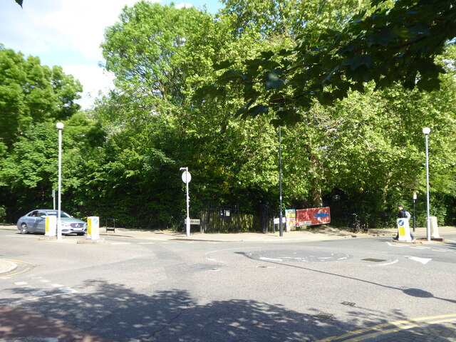
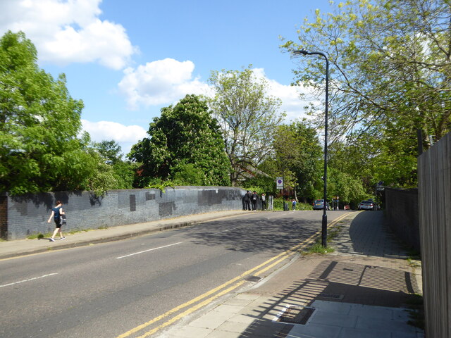
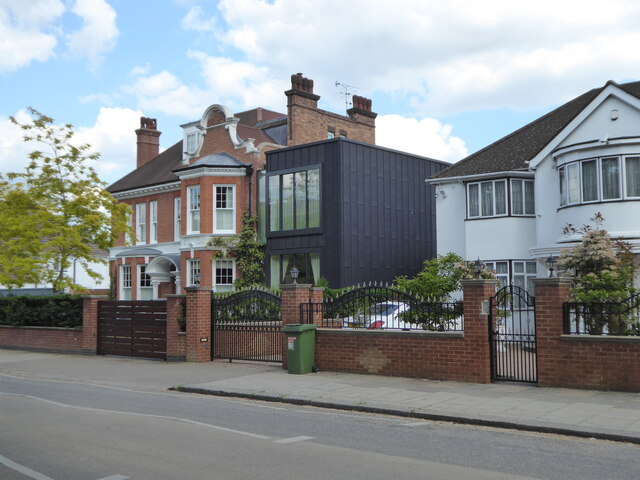
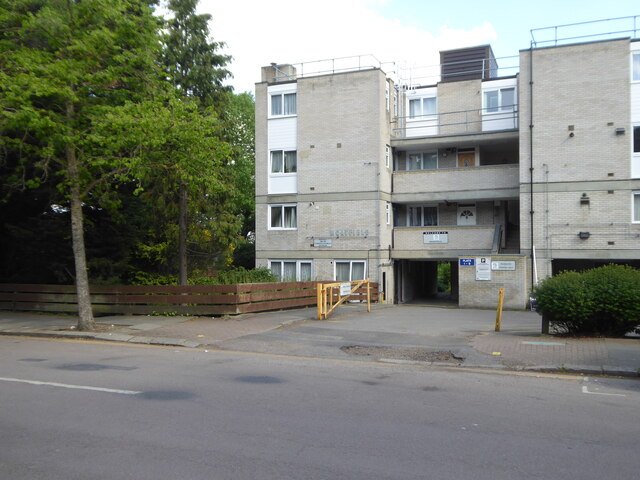
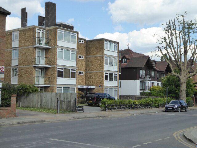
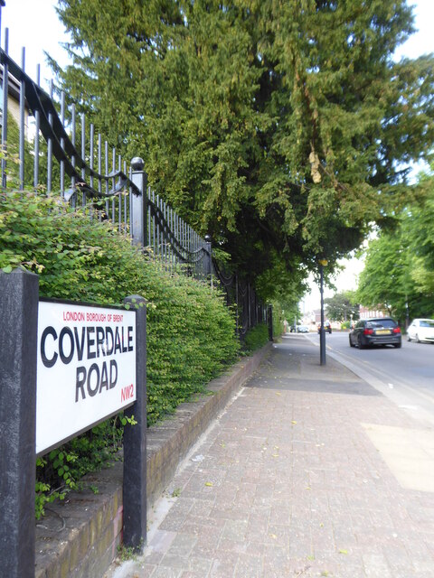
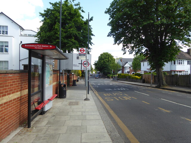
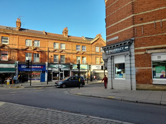
Westbere Copse Images
Images are sourced within 2km of 51.55297/-0.20644375 or Grid Reference TQ2485. Thanks to Geograph Open Source API. All images are credited.


Westbere Copse is located at Grid Ref: TQ2485 (Lat: 51.55297, Lng: -0.20644375)
Unitary Authority: Camden
Police Authority: Metropolitan
What 3 Words
///hurt.dated.commented. Near Belsize Park, London
Nearby Locations
Related Wikis

Westbere Copse
Westbere Copse is an eight hectares (20 acres) Local Nature Reserve and Site of Borough Importance for Nature Conservation, Grade 1, in West Hampstead...

Hampstead School
Hampstead School is a large comprehensive school in the London Borough of Camden, England. The school building is one of the oldest in the borough. It...

Hampstead Cemetery
Hampstead Cemetery is a historic cemetery in West Hampstead, London, located at the upper extremity of the NW6 district. Despite the name, the cemetery...

Kilburn tube station
Kilburn is a London Underground station near Brondesbury Park in north-west London. It is on the Jubilee line, between Willesden Green and West Hampstead...
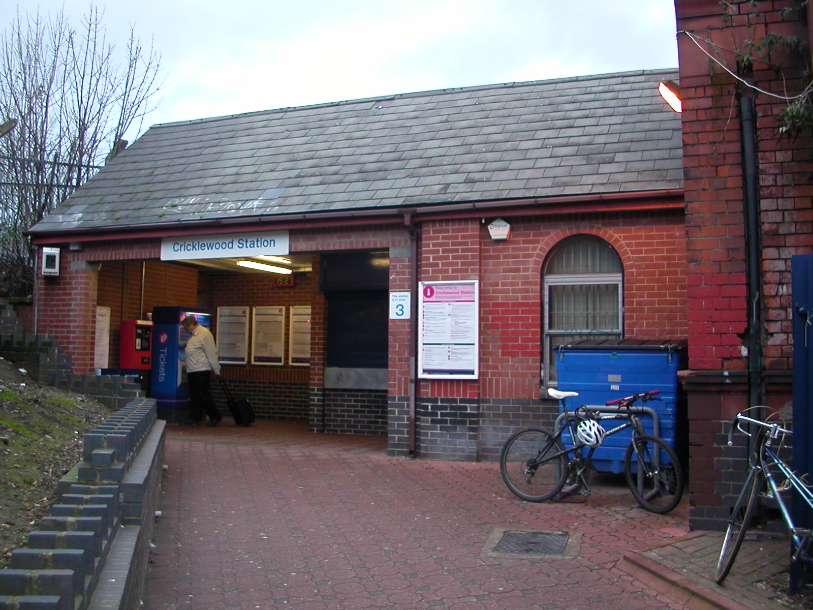
Cricklewood railway station
Cricklewood railway station is on the Midland Main Line in England, serving the town of Cricklewood in the London Borough of Barnet, north London. It is...

Cricklewood
Cricklewood is an area of London, England, which spans the boundaries of three London boroughs: Barnet to the east, Brent to the west and Camden to the...

St Gabriel's, Cricklewood
St Gabriel's, Cricklewood, is an Anglican church in Cricklewood, Brent, London, United Kingdom. St Gabriel's has links to New Wine and Holy Trinity Brompton...

Brondesbury
Brondesbury (), which includes Brondesbury Park, is an area in the London Borough of Brent, in London, England. The area is traditionally part of the Ancient...
Nearby Amenities
Located within 500m of 51.55297,-0.20644375Have you been to Westbere Copse?
Leave your review of Westbere Copse below (or comments, questions and feedback).