Mill Hill

Hill, Mountain in Yorkshire

England

Mill Hill

Bewick  Hall  access  road  from  B1242 Footpath goes from access road north of the hall over fields to the Withernwick Road near Little Westhill
Bewick Hall access road from B1242 Credit: Martin Dawes

The requested URL returned error: 429 Too Many Requests

If you have any feedback on the listing, please let us know in the comments section below.
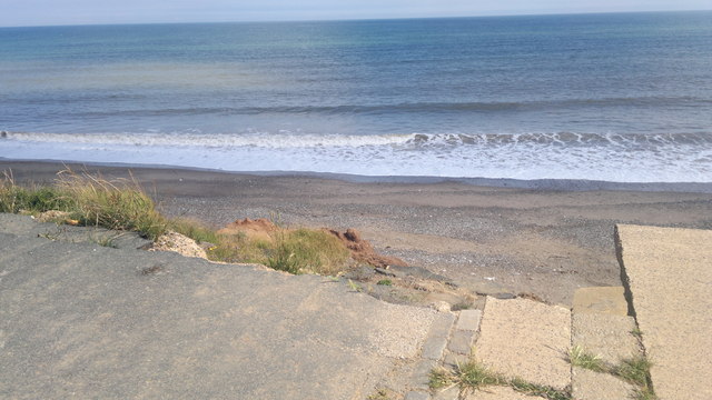
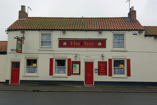
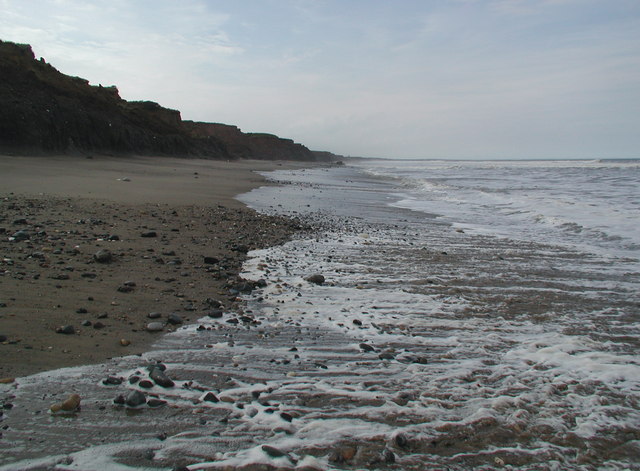
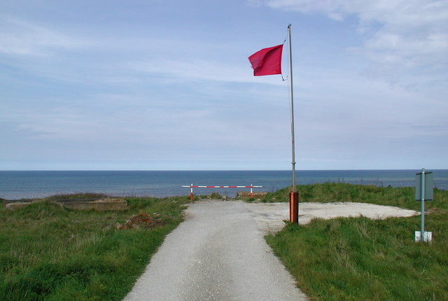
Mill Hill Images

Images are sourced within 2km of 53.834073/-0.11512486 or Grid Reference TA2439. Thanks to Geograph Open Source API. All images are credited.

Bewick  Hall  access  road  from  B1242 Footpath goes from access road north of the hall over fields to the Withernwick Road near Little Westhill
Bewick Hall access road from B1242
Footpath goes from access road north of the hall over fields to the Withernwick Road near Little Westhill
Footpath  over  crop  to  right  of  barn  at  Bewick  Hall Farm access road to left of line of trees
Footpath over crop to right of barn at Bewick Hall
Farm access road to left of line of trees
Walking  track  at  Bewick  Hall  Farm
Walking track at Bewick Hall Farm
Info  board  for  test  drilling  site  for  offshore  wind  turbines Well worth reading, 23 piles are driven into the soil and numerous tests are conducted over a period of months
Info board for test drilling site for offshore wind turbines
Well worth reading, 23 piles are driven into the soil and numerous tests are conducted over a period of months
Wind  Turbines  test  drilling  site Testing foundations of offshore wind turbines, 23 piles have been drilled
Wind Turbines test drilling site
Testing foundations of offshore wind turbines, 23 piles have been drilled
Test  drilling  site  for  offshore  wind  turbines On farm land north of Aldbrough. photo taken through security wire on side of access track to East Hill farm. Bridleway.
Test drilling site for offshore wind turbines
On farm land north of Aldbrough. photo taken through security wire on side of access track to East Hill farm. Bridleway.
Approaching junction with B1242 To the right, Aldborough, to the left, Mappleton.
Approaching junction with B1242
To the right, Aldborough, to the left, Mappleton.
Entrance to West Hill Farm
Carlton Lane in Aldbrough
General Dealer in Hornsea Road, Aldbrough
Garden equipment and DIY store in Aldbrough
Who Would Want To? This is the end of the road from Aldbrough village to the North Sea coastline.  The road gets shorter by about 4m every year and part of it, as seen in this picture, is half way down the cliff..... complete with its double yellow lines!  Would you want to park on this section?...... I certainly wouldn't!!
Who Would Want To?
This is the end of the road from Aldbrough village to the North Sea coastline. The road gets shorter by about 4m every year and part of it, as seen in this picture, is half way down the cliff..... complete with its double yellow lines! Would you want to park on this section?...... I certainly wouldn't!!
Telephone Exchange, Aldbrough Situated on the B1242 Hornsea Road, this redbrick TE provides telephone and broadband services to Aldbrough plus Flinton, Garton, Great Cowden, West Newton and Withernwick nearby. It has (01964) 527xxx numbers and its postcode is HU11 4QW.
Telephone Exchange, Aldbrough
Situated on the B1242 Hornsea Road, this redbrick TE provides telephone and broadband services to Aldbrough plus Flinton, Garton, Great Cowden, West Newton and Withernwick nearby. It has (01964) 527xxx numbers and its postcode is HU11 4QW.
Former Methodist Chapel, Aldbrough Situated in High Street, HU11 4RP, this disused Methodist Chapel was replaced by the present Methodist Church further along High Street in 1961, TA2438 refers. The inscription above the smaller building on the left reads "Sabbath School. For Children of every denomination 1835. Restored 1907".
Former Methodist Chapel, Aldbrough
Situated in High Street, HU11 4RP, this disused Methodist Chapel was replaced by the present Methodist Church further along High Street in 1961, TA2438 refers. The inscription above the smaller building on the left reads "Sabbath School. For Children of every denomination 1835. Restored 1907".
Aldbrough Methodist Church Situated in High Street, this Church is one of a number in the Hornsea Methodist Circuit and dates from 1961. It replaced the former Methodist Church along the road, TA2438 refers. Children's Sunday Club meets at 10.00am each Sunday whilst Sunday Worship commences at 10.45am. Also, Network meets fortnightly on Tuesday at 2.15pm. The postcode of this Church is HU11 4RP.
Aldbrough Methodist Church
Situated in High Street, this Church is one of a number in the Hornsea Methodist Circuit and dates from 1961. It replaced the former Methodist Church along the road, TA2438 refers. Children's Sunday Club meets at 10.00am each Sunday whilst Sunday Worship commences at 10.45am. Also, Network meets fortnightly on Tuesday at 2.15pm. The postcode of this Church is HU11 4RP.
Road's end near Aldbrough
Building, Headlands Farm
Notices at Seaside Road End, Aldbrough This photo shows the North Sea from the end of Seaside Road. The Red notices both say: "Danger. Cliffs subject to coastal erosion. Do not proceed". The other notice on the right of the photo says: "Danger. Unexploded ordnance on this beach. It may explode and kill you. Do not approach or touch any Military or unidentified objects". Ministry of Defence.
Notices at Seaside Road End, Aldbrough
This photo shows the North Sea from the end of Seaside Road. The Red notices both say: "Danger. Cliffs subject to coastal erosion. Do not proceed". The other notice on the right of the photo says: "Danger. Unexploded ordnance on this beach. It may explode and kill you. Do not approach or touch any Military or unidentified objects". Ministry of Defence.
Show me another place!

Mill Hill is located at Grid Ref: TA2439 (Lat: 53.834073, Lng: -0.11512486)

Division: East Riding

Unitary Authority: East Riding of Yorkshire

Police Authority: Humberside

What 3 Words

///atlas.deduct.weeks. Near Aldbrough, East Yorkshire

Nearby Locations

Mill Hill

Related Wikis

Aldbrough, East Riding of Yorkshire

Aldbrough is a village and civil parish in the East Riding of Yorkshire, England, about 12 miles (19 km) north-east of Hull at the junction of the B1242...

Cowden, East Riding of Yorkshire

Cowden (or Little Cowden) is a hamlet in the East Riding of Yorkshire, England, in an area known as Holderness. It is situated approximately 5 miles (8...

RAF Cowden

RAF Cowden was a Royal Air Force bombing range, near to the village of Aldbrough, East Riding of Yorkshire, England. The site was used by the RAF and other...

Etherdwick

Etherdwick is a hamlet in the East Riding of Yorkshire, England in an area known as Holderness. It is approximately 9 miles (14 km) north-west of Withernsea...

Nearby Amenities

Located within 500m of 53.834073,-0.11512486
Historic: memorial
Lat/Long: 53.8297441/-0.1131564
Power: substation
Lat/Long: 53.830111/-0.1143063
Bus Stop
Aldbrough North Street
Naptan AtcoCode: 2200YEA00698
Naptan Bearing: E
Naptan CommonName: Aldbrough North Street
Naptan Landmark: Near Number 1 (Dairy Farm)
Naptan Street: Church Street
Naptan Verified: no
Source: naptan_import
Lat/Long: 53.8298332/-0.1130342
Sandpit Hil
Natural: peak
Source: OS 1:25k
Lat/Long: 53.8322968/-0.1084478
Mill Hill
Natural: peak
Lat/Long: 53.8338312/-0.1148799
Power: pole
Lat/Long: 53.832924/-0.1216623
Power: pole
Switch: mechanical
Lat/Long: 53.8346843/-0.121788
Power: pole
Lat/Long: 53.8338106/-0.1217437
Power: pole
Lat/Long: 53.8320534/-0.1215925
Power: pole
Lat/Long: 53.835338/-0.1218563
Power: pole
Lat/Long: 53.8311559/-0.1158126
Power: pole
Lat/Long: 53.8311115/-0.1169766
Power: pole
Lat/Long: 53.83133/-0.1122345
Power: pole
Lat/Long: 53.8314024/-0.1109974
The data included in this document is from www.openstreetmap.org. The data is made available under ODbL.

Have you been to Mill Hill?

Leave your review of Mill Hill below (or comments, questions and feedback).