Redstone Hill
Hill, Mountain in Bedfordshire
England
Redstone Hill
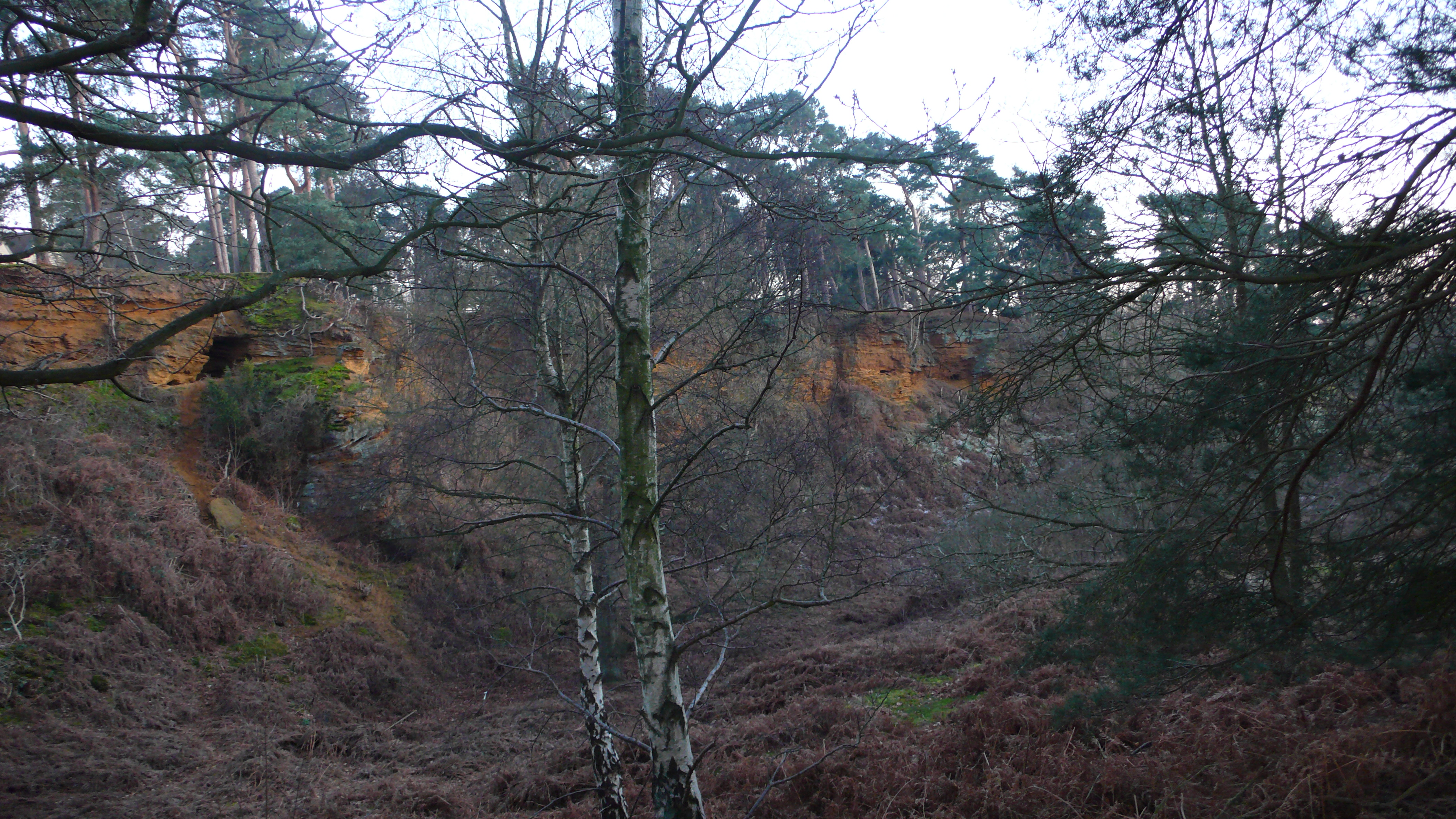
Redstone Hill, located in Bedfordshire, England, is a prominent natural feature in the region. While referred to as a hill, it is not particularly large and may be more accurately described as a gentle incline. Rising to an elevation of approximately 80 meters (262 feet), Redstone Hill is part of the Chiltern Hills, a chalk escarpment that stretches across several counties in southern England.
The hill is covered in lush green grass and is surrounded by a mix of woodland and open countryside, offering visitors picturesque views of the surrounding landscape. Redstone Hill is a popular destination for hikers and nature enthusiasts, who can enjoy leisurely walks along its slopes and take in the breathtaking scenery.
The area surrounding Redstone Hill is also rich in historical significance. Evidence of human activity in the vicinity dates back to the Neolithic period, with various archaeological finds indicating early settlement. Additionally, the hill is home to ancient burial mounds, known as barrows, which further attest to its long-standing importance.
Redstone Hill is easily accessible by road, with nearby parking facilities available for visitors. There are also well-marked footpaths and trails, allowing visitors to explore the hill and its surroundings at their own pace. Overall, Redstone Hill offers a tranquil and scenic escape for those seeking to immerse themselves in the natural beauty and history of Bedfordshire.
If you have any feedback on the listing, please let us know in the comments section below.
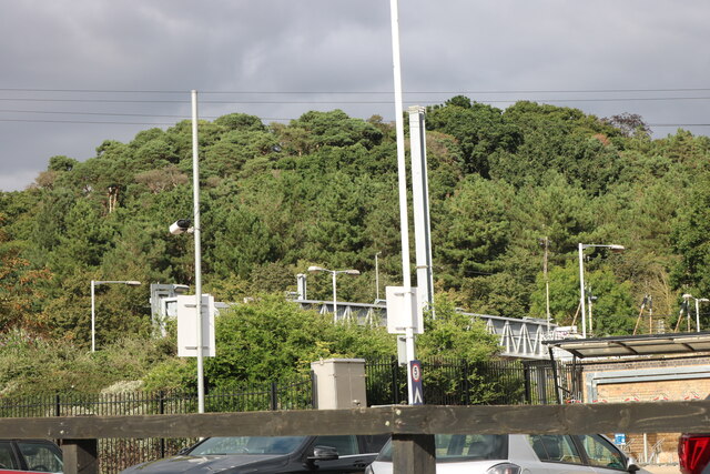
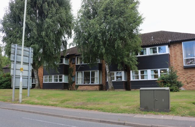
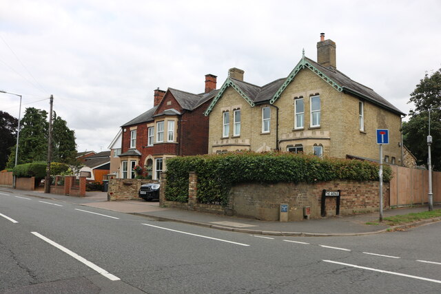
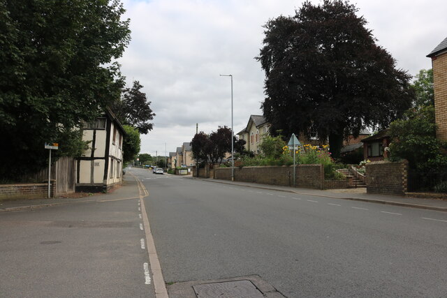
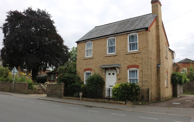
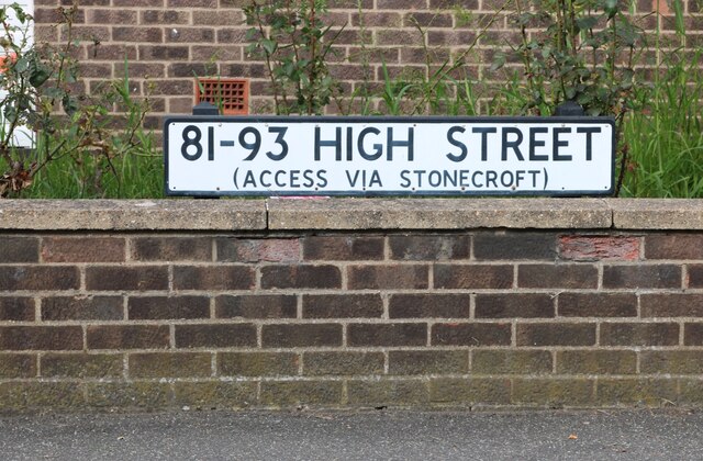
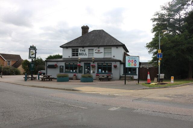
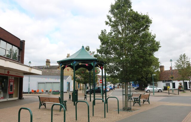
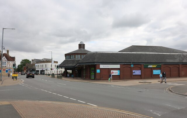
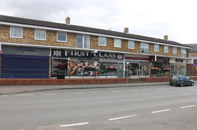
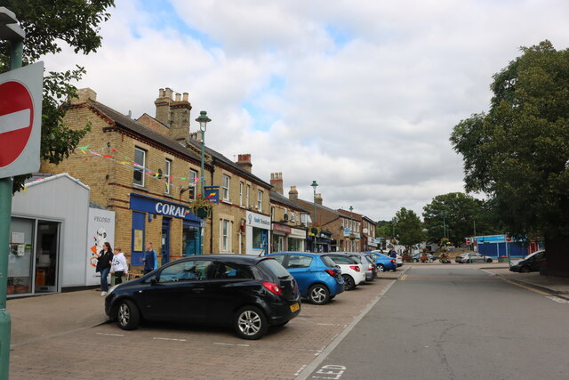
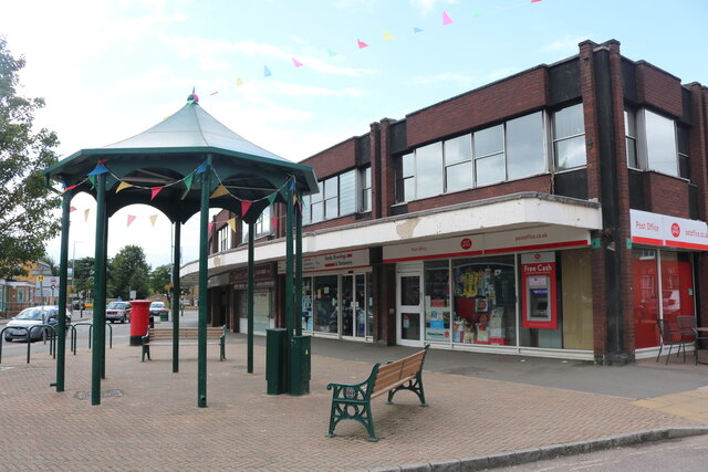
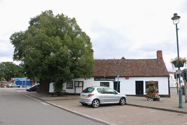
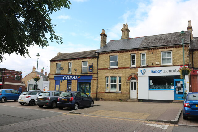
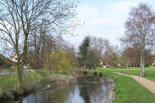
Redstone Hill Images
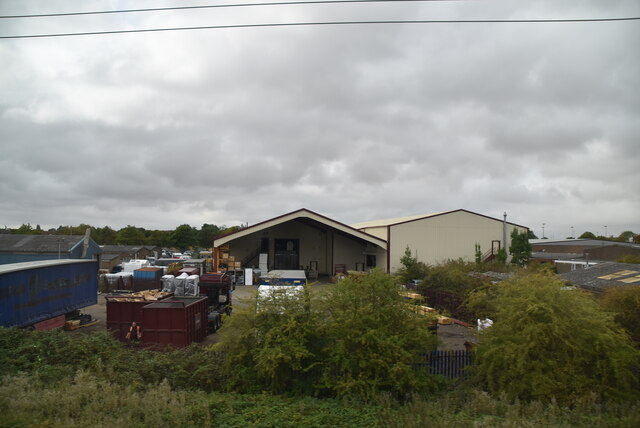
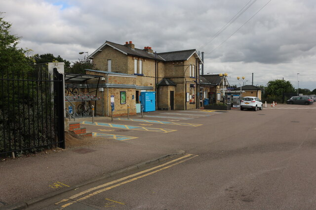
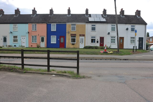
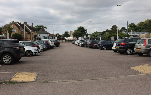
Images are sourced within 2km of 52.122068/-0.26992833 or Grid Reference TL1848. Thanks to Geograph Open Source API. All images are credited.
Redstone Hill is located at Grid Ref: TL1848 (Lat: 52.122068, Lng: -0.26992833)
Unitary Authority: Central Bedfordshire
Police Authority: Bedfordshire
What 3 Words
///major.generally.applauded. Near Sandy, Bedfordshire
Nearby Locations
Related Wikis
The Lodge RSPB reserve
RSPB The Lodge is a nature reserve run by the Royal Society for the Protection of Birds (RSPB), named after the building there, The Lodge, which is their...

Sandy Warren
Sandy Warren is a 16.4-hectare (41-acre) biological Site of Special Scientific Interest in Sandy in Bedfordshire. It is part of The Lodge, a nature reserve...

Sandy railway station
Sandy railway station serves the town of Sandy in Bedfordshire, England. It is on the East Coast Main Line, about 44 miles (71 km) from London King's Cross...
Potton Brook
Potton Brook rises east of Gamlingay, Cambridgeshire, and flows southwest and then south through Potton and the John O'Gaunt Golf Club and into Sutton...
Nearby Amenities
Located within 500m of 52.122068,-0.26992833Have you been to Redstone Hill?
Leave your review of Redstone Hill below (or comments, questions and feedback).