Flint Hill
Hill, Mountain in Surrey Mole Valley
England
Flint Hill
Flint Hill is a prominent geographical feature located in the county of Surrey, England. Situated in the southeastern part of the county, Flint Hill is a picturesque hill and mountain range that forms part of the North Downs, a series of chalk hills that stretch across southern England.
Rising to an elevation of approximately 225 meters (738 feet), Flint Hill offers breathtaking views of the surrounding countryside. The hill is primarily composed of chalk and flint, which is where its name originates. The distinctive white color of the chalk and the presence of flint nodules give the hill its unique appearance.
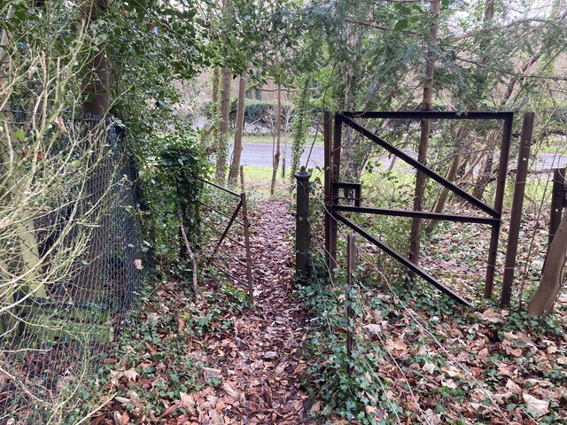
Flint Hill is characterized by its rolling slopes and lush vegetation, making it a popular destination for hikers and nature enthusiasts. The hill is crisscrossed by a network of footpaths and trails, providing ample opportunities for exploration and outdoor activities.
In addition to its natural beauty, Flint Hill holds historical significance. The area surrounding the hill is dotted with ancient burial mounds, known as barrows, dating back to the Bronze Age. These archaeological sites offer a glimpse into the region's rich cultural heritage.
Flint Hill is also home to a variety of wildlife, including several species of birds, such as skylarks and yellowhammers, and mammals like rabbits and foxes. The hill's diverse ecosystem attracts nature lovers and birdwatchers from near and far.
Overall, Flint Hill in Surrey is a captivating destination that combines natural beauty, historical significance, and abundant wildlife, making it a must-visit location for those seeking a tranquil and scenic escape.
If you have any feedback on the listing, please let us know in the comments section below.
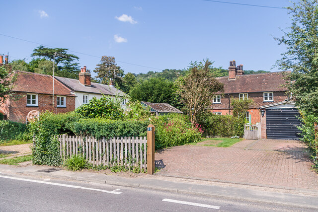
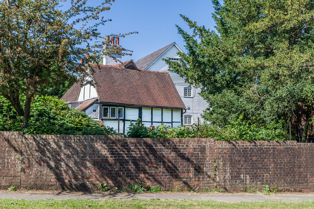
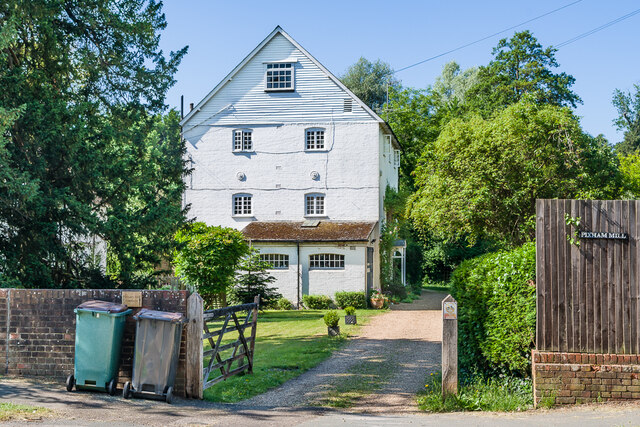
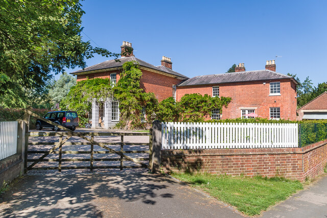
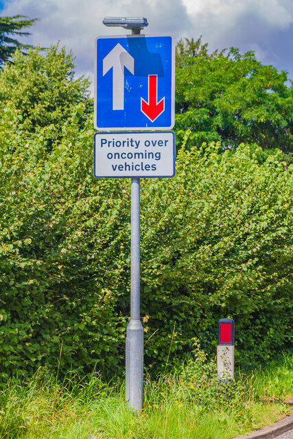
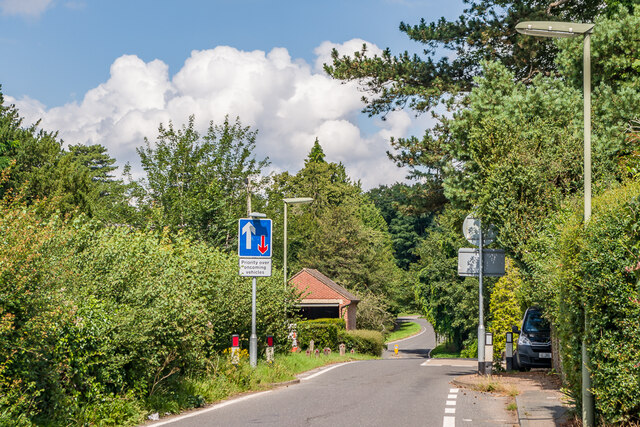
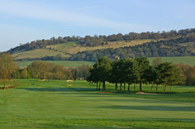
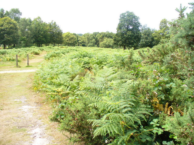
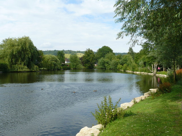
Flint Hill Images
Images are sourced within 2km of 51.253499/-0.30298616 or Grid Reference TQ1851. Thanks to Geograph Open Source API. All images are credited.


Flint Hill is located at Grid Ref: TQ1851 (Lat: 51.253499, Lng: -0.30298616)
Administrative County: Surrey
District: Mole Valley
Police Authority: Surrey
What 3 Words
///wiring.hiding.bronze. Near Dorking, Surrey
Nearby Locations
Related Wikis
Box Hill, Surrey
Box Hill is a summit of the North Downs in Surrey, approximately 31 km (19 mi) south-west of London. The hill gets its name from the ancient box woodland...
Mole Gap to Reigate Escarpment
Mole Gap to Reigate Escarpment is a 1,016.4-hectare (2,512-acre) biological and geological Site of Special Scientific Interest west of Reigate in Surrey...

Burford Bridge Hotel
Burford Bridge Hotel is a historic hotel at the edge of the village of Mickleham, Surrey, England. It is to the south of Leatherhead and north of Dorking...

High Ashurst
High Ashurst is a large natural site of 56 acres of land in an Area of Outstanding Natural Beauty in North Downs, Surrey. The site has been host to many...
Pipp Brook
The Pipp Brook is a left-bank tributary of the River Mole, Surrey, England. It rises at two main springs north of Leith Hill on the Greensand Ridge, then...

Juniper Hall
Juniper Hall FSC Field Centre is an 18th-century country house, leased from the National Trust, on the east slopes of Mickleham in the deep Mole Gap of...
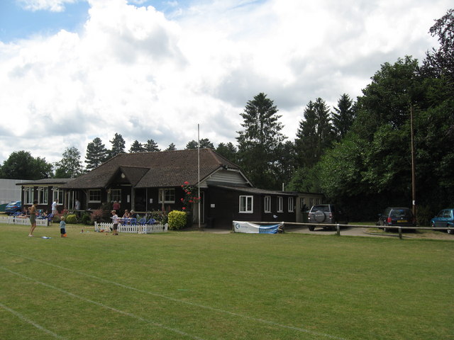
Dorking Cricket Club Ground
Dorking Cricket Club Ground is a cricket ground in Dorking, Surrey. The first recorded match on the ground was in 1993, when the ground hosted a single...

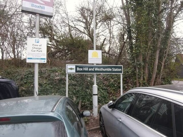
Box Hill & Westhumble railway station
Box Hill & Westhumble is a railway station in the village of Westhumble in Surrey, England, approximately 2 miles (3.2 km) north of Dorking town centre...
Nearby Amenities
Located within 500m of 51.253499,-0.30298616Have you been to Flint Hill?
Leave your review of Flint Hill below (or comments, questions and feedback).