Alington Hill
Hill, Mountain in Bedfordshire
England
Alington Hill
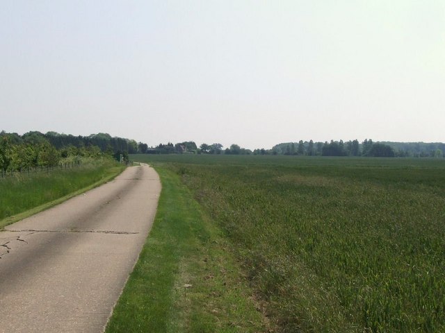
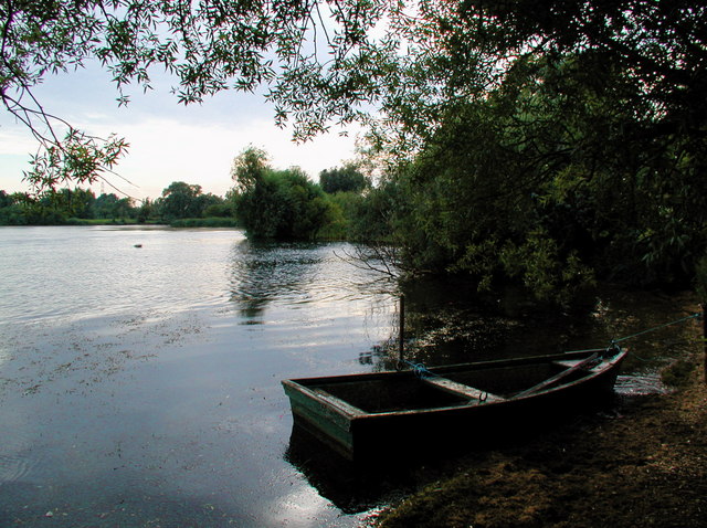
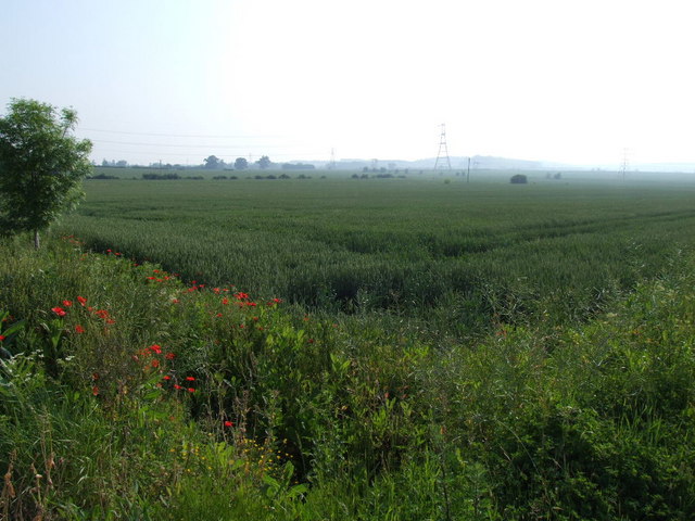
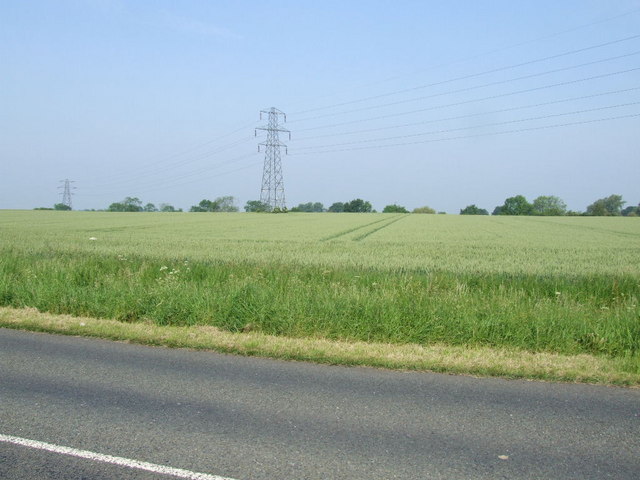
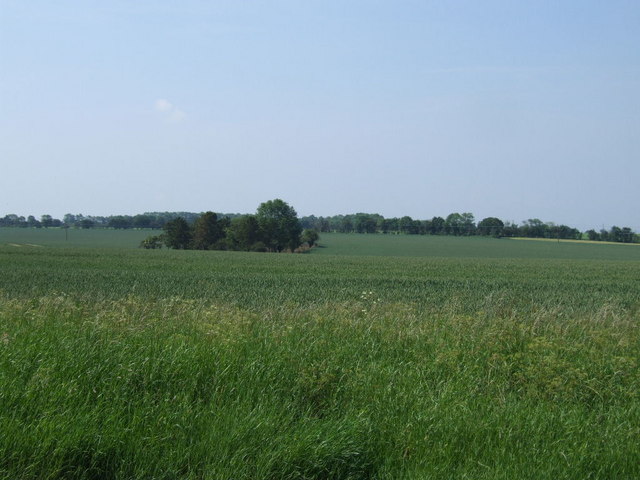
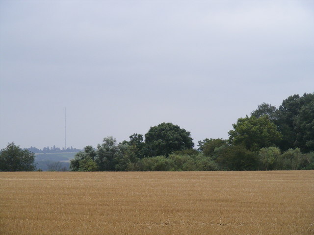
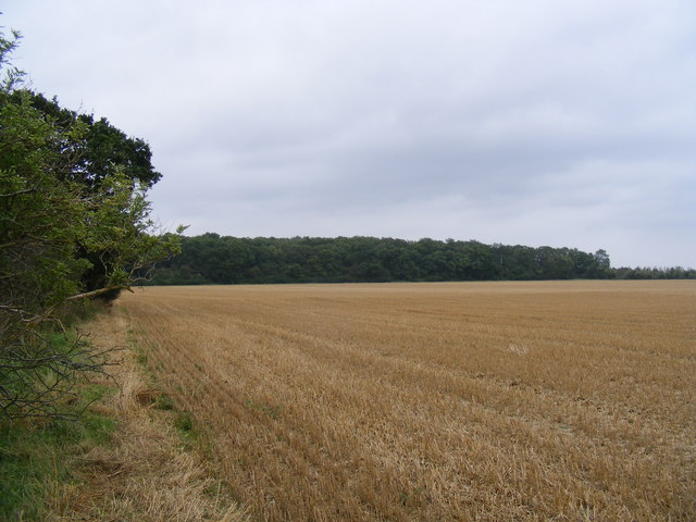
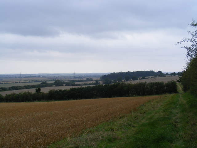
Arlington Hill is located in Bedfordshire, a county in the East of England. It is a prominent hill known for its stunning views, making it a popular destination for tourists and locals alike. With an elevation of approximately 122 meters (400 feet), Arlington Hill offers panoramic vistas of the surrounding countryside and the nearby town of Bedford.
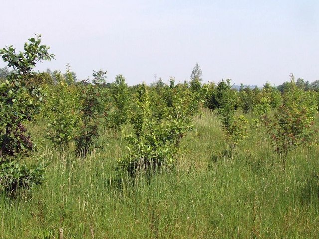
Covered in lush greenery, the hill is a haven for nature enthusiasts and provides ample opportunities for outdoor activities such as hiking, picnicking, and birdwatching. Its well-maintained footpaths and trails attract walkers and runners, who can enjoy the peaceful and serene ambiance of the area. The hill is also home to a variety of wildlife, including rabbits, foxes, and various bird species.
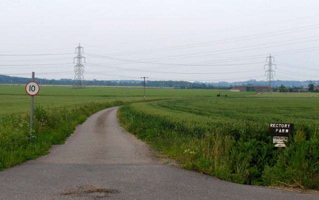
Arlington Hill is rich in history, with evidence of human activity dating back to the Iron Age. The hill has served as a defensive site, offering strategic advantages due to its elevated position. Ruins of ancient fortifications, including earthworks and ditches, can still be seen today, giving visitors a glimpse into the area's past.
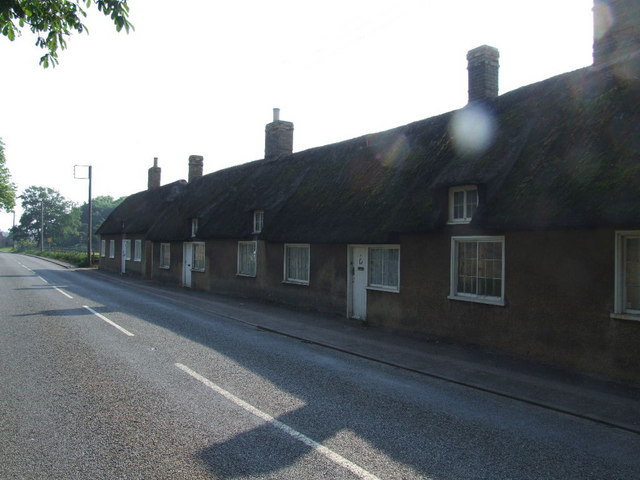
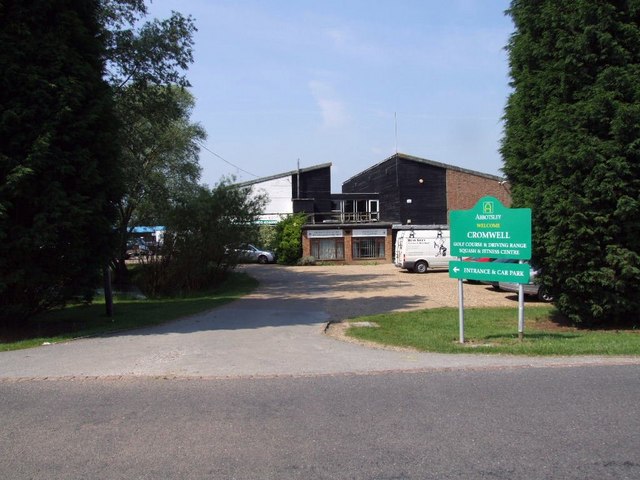
The hill is easily accessible, with ample parking facilities available nearby. Additionally, there is a visitor center that provides information about the history, flora, and fauna of Arlington Hill, ensuring visitors have a comprehensive understanding of the area. Overall, Arlington Hill offers a picturesque and tranquil escape for those seeking natural beauty and a touch of history in Bedfordshire.
If you have any feedback on the listing, please let us know in the comments section below.
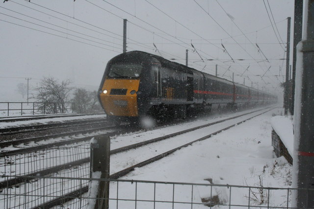
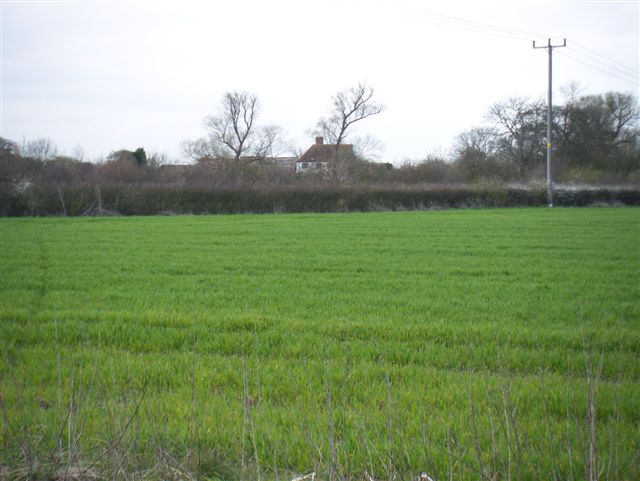
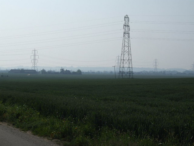
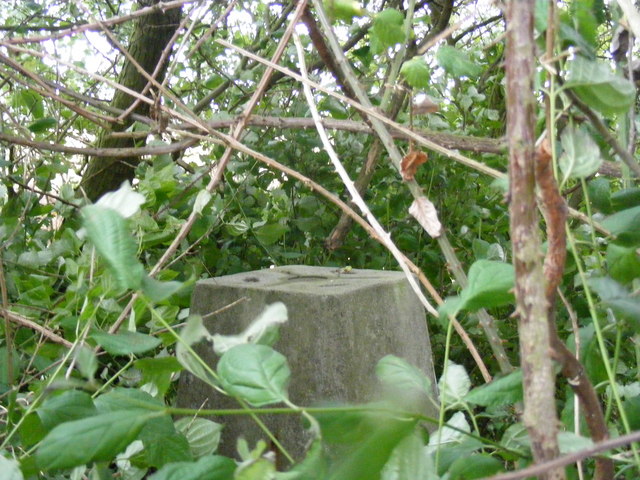
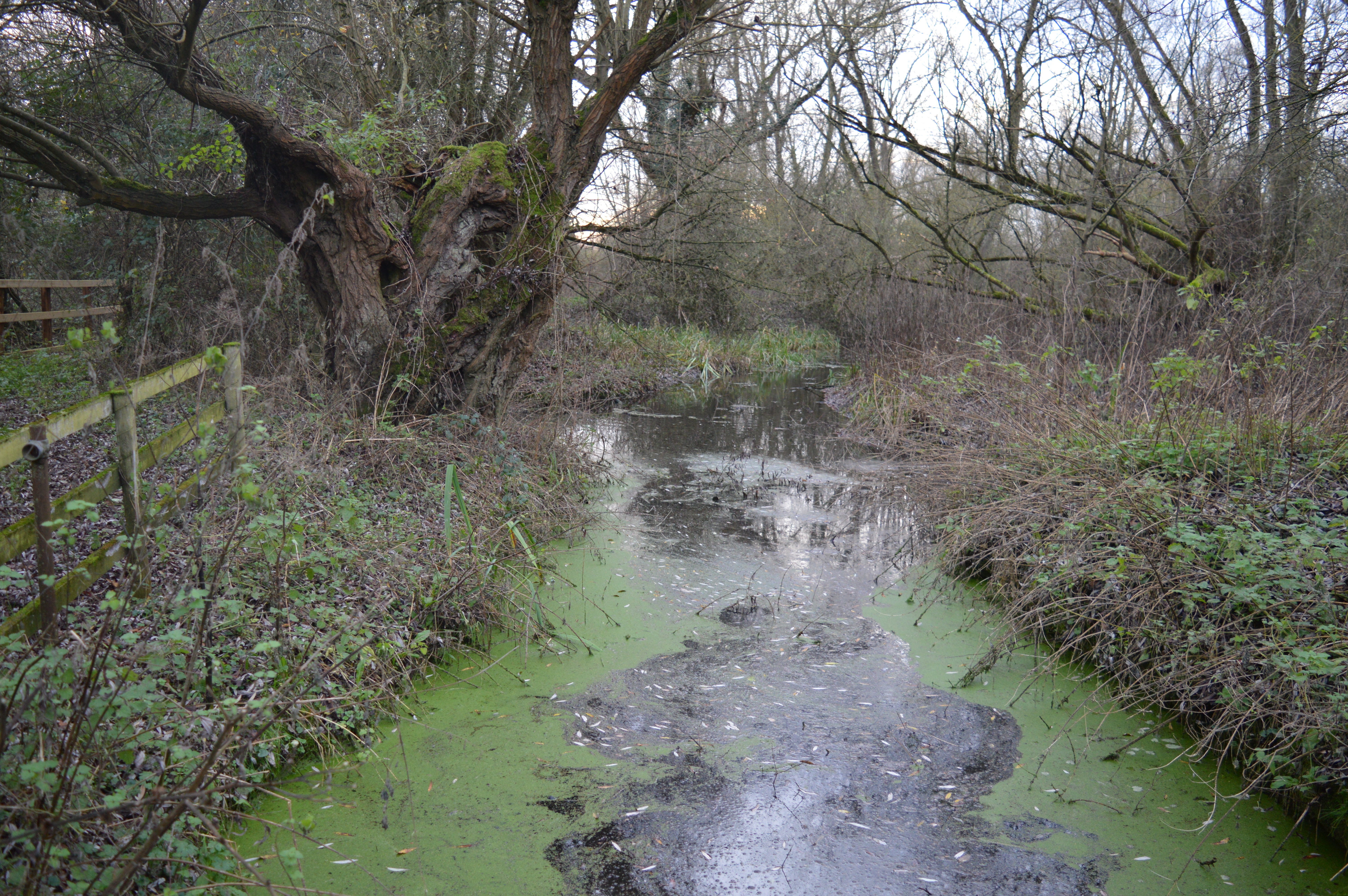
Alington Hill Images
Images are sourced within 2km of 52.18851/-0.26835972 or Grid Reference TL1855. Thanks to Geograph Open Source API. All images are credited.
Alington Hill is located at Grid Ref: TL1855 (Lat: 52.18851, Lng: -0.26835972)
Unitary Authority: Bedford
Police Authority: Bedfordshire
What 3 Words
///blizzard.wrist.pointer. Near Little Barford, Bedfordshire
Nearby Locations
Related Wikis

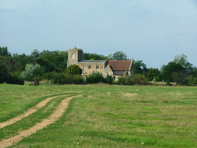
Little Barford
Little Barford is a hamlet and civil parish in the Borough of Bedford in Bedfordshire, England about 7 miles (11 km) northeast of the county town of Bedford...

St Denys' Church, Little Barford
St Denys' Church is a redundant Anglican church in the village of Little Barford, Bedfordshire, England. It is recorded in the National Heritage List...
Begwary Brook
Begwary Brook in Bedfordshire is a four mile long tributary of the River Great Ouse. Its source is half a mile north of Duck's Cross, and it then flows...

Tempsford railway station
Tempsford railway station was a railway station built by the Great Northern Railway to serve the village of Tempsford in Bedfordshire, England. == History... ==
Nearby Amenities
Located within 500m of 52.18851,-0.26835972Have you been to Alington Hill?
Leave your review of Alington Hill below (or comments, questions and feedback).