Abinger Hill

Hill, Mountain in Sussex Horsham

England

Abinger Hill

View south towards High Hurst Copse This photo was taken from the aptly named Park Lane - aptly because there are a lot of places to park along here, which is helpful from a walker's point of view.
View south towards High Hurst Copse Credit: Ian Cunliffe

Abinger Hill is a picturesque area located in the county of Sussex, England. Nestled amidst the rolling landscape of the Surrey Hills Area of Outstanding Natural Beauty, it offers breathtaking views and a tranquil escape from the bustling city life.

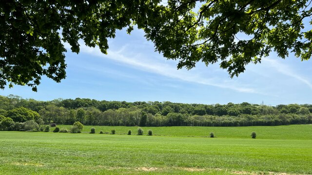
With an elevation of approximately 250 meters (820 feet), Abinger Hill is classified as a hill rather than a mountain. However, its commanding position still provides visitors with stunning panoramic vistas of the surrounding countryside. The hill is renowned for its verdant meadows, dense woodlands, and charming villages that dot the landscape.

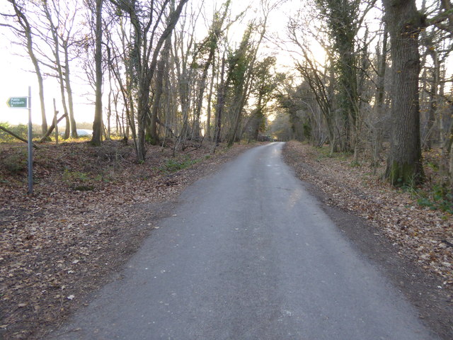
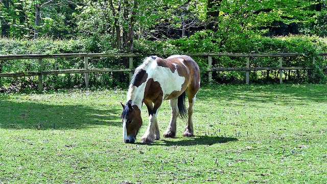
The area surrounding Abinger Hill is rich in biodiversity, making it a haven for nature enthusiasts and wildlife lovers. The hill is home to a variety of flora and fauna, including ancient oak trees, wildflowers, and numerous bird species. It is also a popular spot for leisure activities such as hiking, walking, and cycling, with well-marked trails crisscrossing the hillside.

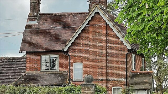
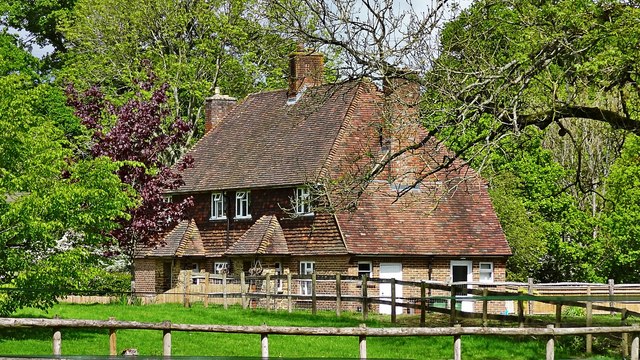
At the foot of Abinger Hill lies the historic village of Abinger Hammer, known for its 19th-century ironworks and traditional cottages. The village offers visitors a glimpse into the region's industrial heritage and is a starting point for exploring the hill and its surroundings.

Abinger Hill, with its idyllic charm and natural beauty, attracts visitors throughout the year. Whether it's admiring the vibrant colors of spring, enjoying a leisurely summer picnic, or witnessing the golden hues of autumn, Abinger Hill offers a quintessentially English countryside experience that is sure to captivate all who visit.

If you have any feedback on the listing, please let us know in the comments section below.
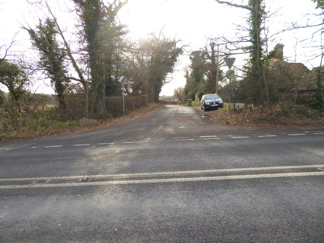
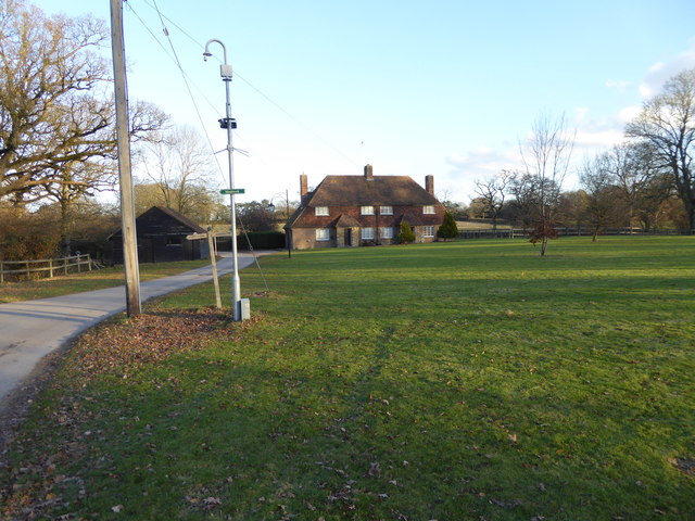
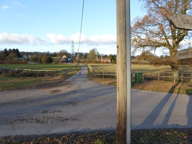
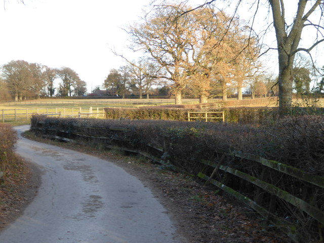
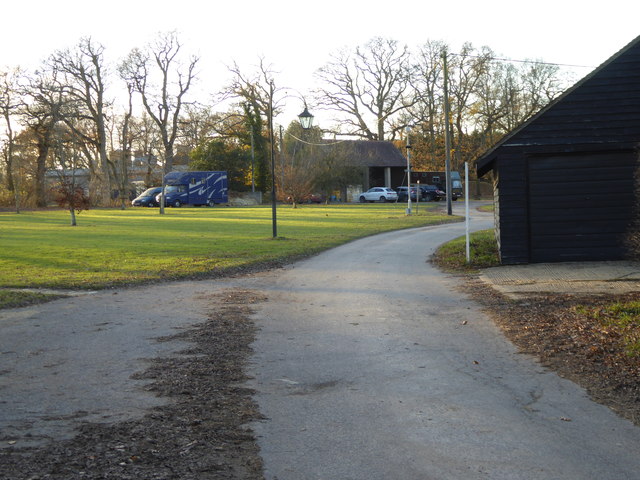
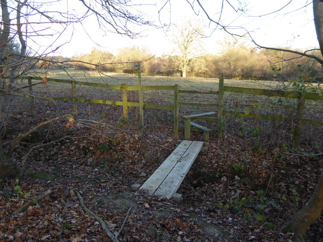
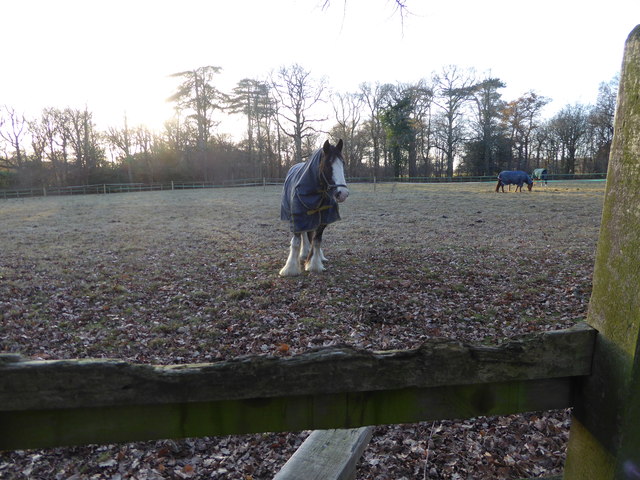
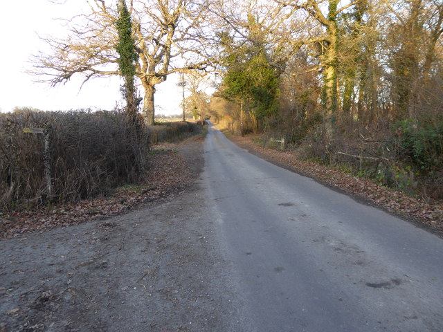
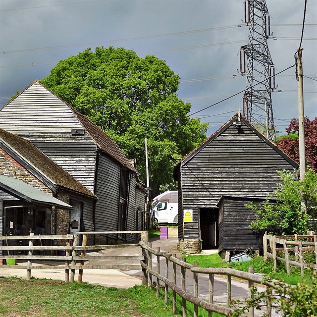
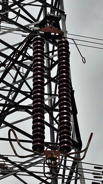
Abinger Hill Images

Images are sourced within 2km of 51.002446/-0.31046648 or Grid Reference TQ1823. Thanks to Geograph Open Source API. All images are credited.

View south towards High Hurst Copse This photo was taken from the aptly named Park Lane - aptly because there are a lot of places to park along here, which is helpful from a walker's point of view.
View south towards High Hurst Copse
This photo was taken from the aptly named Park Lane - aptly because there are a lot of places to park along here, which is helpful from a walker's point of view.
House on Burnthouse Lane According to the large-scale map this is called "Little Burnt House".
House on Burnthouse Lane
According to the large-scale map this is called "Little Burnt House".
Looking south on Burnthouse Lane to the A272 The post box has been changed since <a title="https://www.geograph.org.uk/photo/2936974" href="https://www.geograph.org.uk/photo/2936974">Link</a>.
Looking south on Burnthouse Lane to the A272
The post box has been changed since Link.
The southern end of Burnthouse Lane The main road is the A272 known here as Station Road.  (There's no station any more.)
The southern end of Burnthouse Lane
The main road is the A272 known here as Station Road. (There's no station any more.)
Looking into Stonehouse Lane
High Hurst Cottages
High Hurst Cottages
The drive to High Hurst Manor This is a public footpath.
The drive to High Hurst Manor
This is a public footpath.
Footpath going east to Burnthouse Lane
The green at High Hurst
Footpath crosses ditch to stile
Splendid feathers
Splendid feathers
Looking north on Burnthouse Lane from footpath
Looking south on Burnthouse Lane
Horse to the west of Burnthouse Lane
High Hurst Cottages By my reckoning the half of this building nearest the camera is in TQ2023, and the other half is in TQ2024.
High Hurst Cottages
By my reckoning the half of this building nearest the camera is in TQ2023, and the other half is in TQ2024.
Stables south of High Hurst Manor This is a cross-grid shot. The camera was in TQ2023.
Stables south of High Hurst Manor
This is a cross-grid shot. The camera was in TQ2023.
Stables at High Hurst Manor
Pylon insulators I didn't check the voltage, but these were large pylons - possibly 400 kV. Electricity was very much the theme of today's walk. A few minutes after I took this photograph there was a thunderstorm, and I found myself grasping the insulated handle of an electric fence at the very same moment as the lightning flashed. I couldn't help thinking of the scene in 'Father Ted' where Father Stone ends up frozen in position holding a golf club aloft after a lightning strike!
Pylon insulators
I didn't check the voltage, but these were large pylons - possibly 400 kV. Electricity was very much the theme of today's walk. A few minutes after I took this photograph there was a thunderstorm, and I found myself grasping the insulated handle of an electric fence at the very same moment as the lightning flashed. I couldn't help thinking of the scene in 'Father Ted' where Father Stone ends up frozen in position holding a golf club aloft after a lightning strike!
Show me another place!

Abinger Hill is located at Grid Ref: TQ1823 (Lat: 51.002446, Lng: -0.31046648)

Administrative County: West Sussex

District: Horsham

Police Authority: Sussex

What 3 Words

///adventure.novelists.fact. Near Cowfold, West Sussex

Nearby Locations

Abinger Hill

Related Wikis

Maplehurst, West Sussex

Maplehurst is a hamlet in the civil parish of Nuthurst, and the Horsham District of West Sussex, England. The hamlet is on the Copsale to Nuthurst road...

West Grinstead railway station

West Grinstead was a railway station on the Steyning Line which served the village of West Grinstead. It had a goods yard with a cattle loading bay and...

Copsale

Copsale is a hamlet in the civil parish of Nuthurst, and the Horsham District of West Sussex, England. It lies on the Southwater to Maplehurst road 3.5...

Nuthurst

Nuthurst is a village and civil parish in the Horsham district of West Sussex, England. The north of the parish borders Horsham town, with Nuthurst village...

Shrine of Our Lady of Consolation

The Shrine of Our Lady of Consolation or Church of Our Lady of Consolation and Saint Francis is a Roman Catholic parish church in West Grinstead, in West...

Cowfold

Cowfold is a village and civil parish between Billingshurst and Haywards Heath in the Horsham District of West Sussex, England. The village is at the intersection...

Southwater & Nuthurst (electoral division)

Southwater & Nuthurst is an electoral division of West Sussex in the United Kingdom and returns one member to sit on West Sussex County Council. The current...

West Grinstead

West Grinstead is a village and civil parish in the Horsham District of West Sussex, England. It lies just off the B2135 road four miles (6.3 km) northwest...

Nearby Amenities

Located within 500m of 51.002446,-0.31046648
New Brook Farm
Naptan AtcoCode: 4400HR0827
Naptan Bearing: N
Naptan BusStopType: CUS
Naptan CommonName: New Brook Farm
Naptan Indicator: opp
Naptan Landmark: Hail & Ride
Naptan NaptanCode: wsxdwmja
Naptan Street: Maplehurst Road
Naptan Verified: no
Source: naptan_import
Lat/Long: 51.0046052/-0.3079684
New Brook Farm
Naptan AtcoCode: 4400HR0828
Naptan Bearing: S
Naptan BusStopType: CUS
Naptan CommonName: New Brook Farm
Naptan Indicator: adj
Naptan Landmark: Hail & Ride
Naptan NaptanCode: wsxdwmjd
Naptan Street: Maplehurst Road
Naptan Verified: no
Source: naptan_import
Lat/Long: 51.0046212/-0.3078253
Power: tower
Lat/Long: 50.9993683/-0.3121798
Power: tower
Lat/Long: 51.0007987/-0.3081616
Power: tower
Lat/Long: 51.0021304/-0.3044247
Maplehurst Farm
Place: farm
Lat/Long: 51.0049181/-0.312179
Joles Farm
Place: farm
Lat/Long: 51.0010645/-0.3092319
Conies Farm
Place: farm
Lat/Long: 51.0010378/-0.3037691
The data included in this document is from www.openstreetmap.org. The data is made available under ODbL.

Have you been to Abinger Hill?

Leave your review of Abinger Hill below (or comments, questions and feedback).