Blackmoor Hill
Hill, Mountain in Yorkshire
England
Blackmoor Hill
Blackmoor Hill is a prominent geographical feature located in the county of Yorkshire, England. Situated in the northern part of the county, it is part of the Pennines mountain range, which stretches across several counties in Northern England.
The hill itself is known for its distinctive black appearance, which is a result of the dark-colored peat and heather that covers its slopes. Standing at an elevation of approximately 500 meters (1,640 feet), it offers breathtaking panoramic views of the surrounding countryside, including the nearby towns and villages of Yorkshire.
Blackmoor Hill is a popular destination for hikers, nature enthusiasts, and photographers due to its rugged beauty and diverse wildlife. The hill is home to a variety of plant and animal species, including heather, bilberry, and various bird species such as curlews and grouse. The surrounding area also boasts several walking trails and paths, allowing visitors to explore the hill and its surroundings at their leisure.
In addition to its natural beauty, Blackmoor Hill also has historical significance. It is believed to have been inhabited since prehistoric times, with evidence of ancient settlements and burial mounds found in the vicinity. These archaeological remains add to the allure of the hill, making it an intriguing destination for history enthusiasts.
Overall, Blackmoor Hill in Yorkshire is a captivating natural landmark, offering stunning views, diverse wildlife, and a glimpse into the region's rich history.
If you have any feedback on the listing, please let us know in the comments section below.
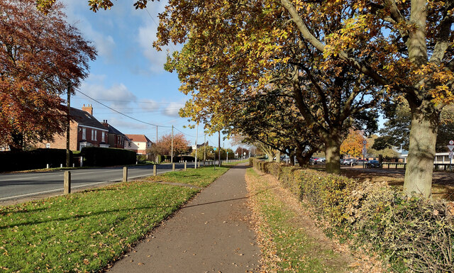
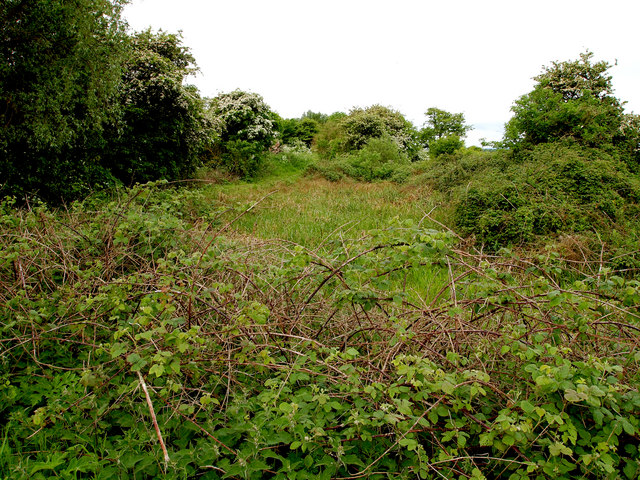
Blackmoor Hill Images
Images are sourced within 2km of 53.769155/-0.20139897 or Grid Reference TA1831. Thanks to Geograph Open Source API. All images are credited.


Blackmoor Hill is located at Grid Ref: TA1831 (Lat: 53.769155, Lng: -0.20139897)
Division: East Riding
Unitary Authority: East Riding of Yorkshire
Police Authority: Humberside
What 3 Words
///satellite.quibble.secret. Near Preston, East Yorkshire
Nearby Locations
Related Wikis

Preston, East Riding of Yorkshire
Preston is a village and civil parish in the East Riding of Yorkshire, England, in an area known as Holderness. It is situated approximately 6 miles...

Wyton, East Riding of Yorkshire
Wyton is a hamlet in the civil parish of Bilton, in the East Riding of Yorkshire, It is situated approximately 6 miles (9.7 km) east of Kingston upon Hull...

Lelley
Lelley is a small village in the civil parish of Elstronwick, in the East Riding of Yorkshire, England, in an area known as Holderness. It is situated...
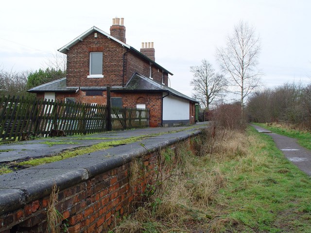
Hedon railway station
Hedon railway station is a disused railway station on the North Eastern Railway's Hull and Holderness Railway on the northern edge of Hedon in the East...
Nearby Amenities
Located within 500m of 53.769155,-0.20139897Have you been to Blackmoor Hill?
Leave your review of Blackmoor Hill below (or comments, questions and feedback).