North Field
Downs, Moorland in Yorkshire
England
North Field
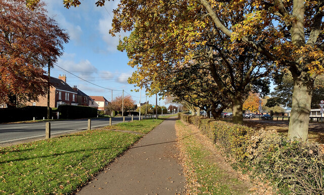
North Field is a picturesque area located in the county of Yorkshire, England. Situated in the heart of the region, it offers a diverse landscape encompassing downs and moorland. The field is characterized by its rolling hills, expansive green meadows, and rugged terrain, providing a captivating backdrop for outdoor enthusiasts and nature lovers.
Covering a substantial area, North Field boasts a rich biodiversity with a variety of flora and fauna. The downs, with their gently sloping hills, are adorned with vibrant wildflowers during the spring and summer months, creating a colorful tapestry that stretches as far as the eye can see. The moorland, on the other hand, offers a more rugged and untamed beauty, with heather-covered hills and scattered rock formations.
The area is a haven for wildlife, with numerous species calling North Field their home. It is not uncommon to spot rabbits, hares, and deer roaming freely, while birdwatchers can delight in the sight of skylarks, kestrels, and peregrine falcons soaring above.
North Field is also a popular destination for outdoor activities. Its vast expanse of open space makes it ideal for hiking, cycling, and horse riding. There are several well-marked trails that wind their way through the landscape, offering breathtaking views and opportunities to explore the area's natural wonders.
In conclusion, North Field in Yorkshire is a captivating region that showcases the beauty of downs and moorland. Its diverse landscape, abundant wildlife, and opportunities for outdoor pursuits make it a must-visit destination for nature enthusiasts and adventurers alike.
If you have any feedback on the listing, please let us know in the comments section below.
North Field Images
Images are sourced within 2km of 53.768294/-0.20630642 or Grid Reference TA1831. Thanks to Geograph Open Source API. All images are credited.


North Field is located at Grid Ref: TA1831 (Lat: 53.768294, Lng: -0.20630642)
Division: East Riding
Unitary Authority: East Riding of Yorkshire
Police Authority: Humberside
What 3 Words
///blurts.area.hunk. Near Preston, East Yorkshire
Nearby Locations
Related Wikis

Preston, East Riding of Yorkshire
Preston is a village and civil parish in the East Riding of Yorkshire, England, in an area known as Holderness. It is situated approximately 6 miles...

Wyton, East Riding of Yorkshire
Wyton is a hamlet in the civil parish of Bilton, in the East Riding of Yorkshire, It is situated approximately 6 miles (9.7 km) east of Kingston upon Hull...

Bilton, East Riding of Yorkshire
Bilton (or Bilton-in-Holderness) is a village and civil parish in the East Riding of Yorkshire, England. It is situated approximately 5 miles (8 km) east...
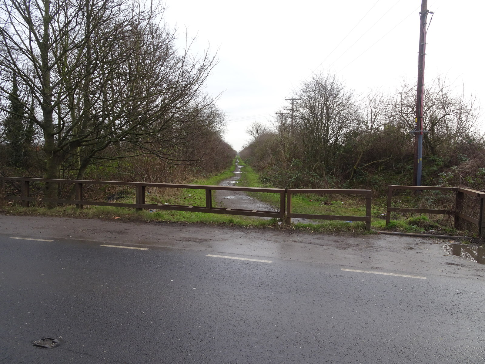
Hedon Racecourse railway station
Hedon Racecourse railway station is a disused railway station on the North Eastern Railway's Hull and Holderness Railway to the west of Hedon in the East...
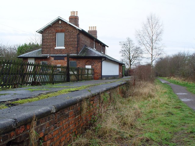
Hedon railway station
Hedon railway station is a disused railway station on the North Eastern Railway's Hull and Holderness Railway on the northern edge of Hedon in the East...

Lelley
Lelley is a small village in the civil parish of Elstronwick, in the East Riding of Yorkshire, England, in an area known as Holderness. It is situated...
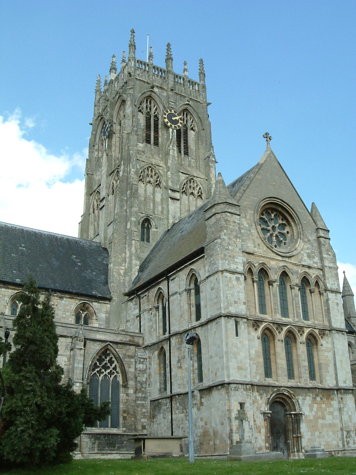
St Augustine's Church, Hedon
St Augustine's Church is a Church of England parish church located in Hedon, East Riding of Yorkshire, England. The church is a Grade I listed building...

Hedon Aerodrome
Hedon Aerodrome (also known as Royal Air Force Hedon and Royal Air Force Hull), was an airfield located 6 miles (9.7 km) east of Kingston upon Hull in...
Nearby Amenities
Located within 500m of 53.768294,-0.20630642Have you been to North Field?
Leave your review of North Field below (or comments, questions and feedback).