Woodcock Covert
Downs, Moorland in Bedfordshire
England
Woodcock Covert
Woodcock Covert is a picturesque area located in the county of Bedfordshire, England. Known for its stunning natural beauty, it encompasses both downs and moorland landscapes, providing a diverse and enchanting environment for visitors to explore.
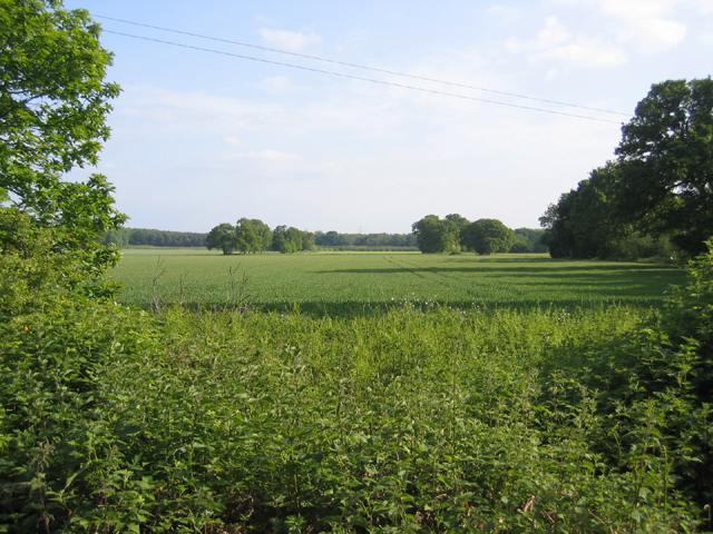
Covering an area of approximately 500 acres, Woodcock Covert boasts a rich variety of flora and fauna. The downs, characterized by rolling hills and open grasslands, are home to a wide range of wildflowers, including common rock-rose, harebell, and bird's-foot trefoil. This attracts an array of butterflies and bees, creating a vibrant and colorful spectacle during the summer months.
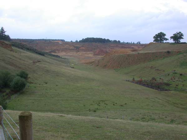
The moorland, on the other hand, offers a different ambience, with its heathland and peat bogs providing a unique habitat for various bird species. Woodcock Covert is particularly renowned for its resident woodcock population, which can be spotted darting through the undergrowth or taking flight from the dense thickets. This has made it a popular destination for birdwatchers and nature enthusiasts from far and wide.
Visitors to Woodcock Covert can enjoy a range of activities, including walking, cycling, and picnicking. The area is crisscrossed with well-maintained trails, allowing visitors to fully immerse themselves in the stunning scenery and tranquility. The Covert also offers designated areas for wildlife observation, providing the perfect opportunity to spot elusive creatures in their natural habitat.
Overall, Woodcock Covert, Bedfordshire is a hidden gem, offering a peaceful retreat for those seeking to connect with nature. Its combination of downs and moorland, rich biodiversity, and recreational opportunities make it a must-visit destination for both locals and tourists alike.
If you have any feedback on the listing, please let us know in the comments section below.
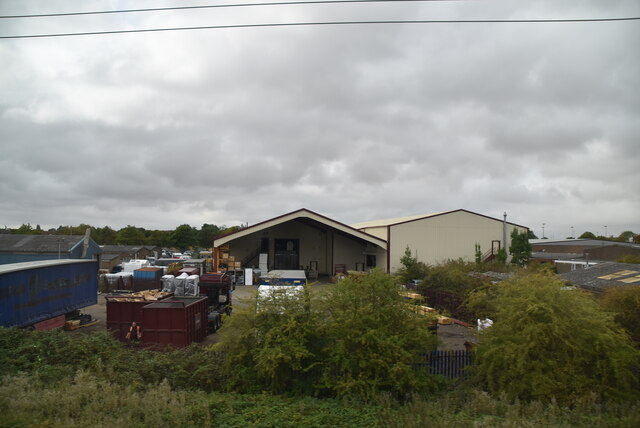
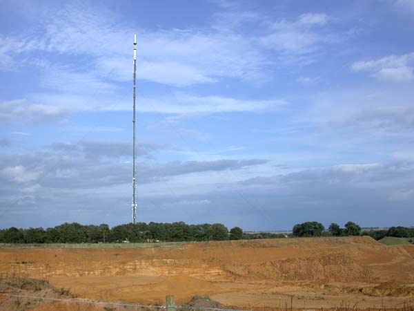
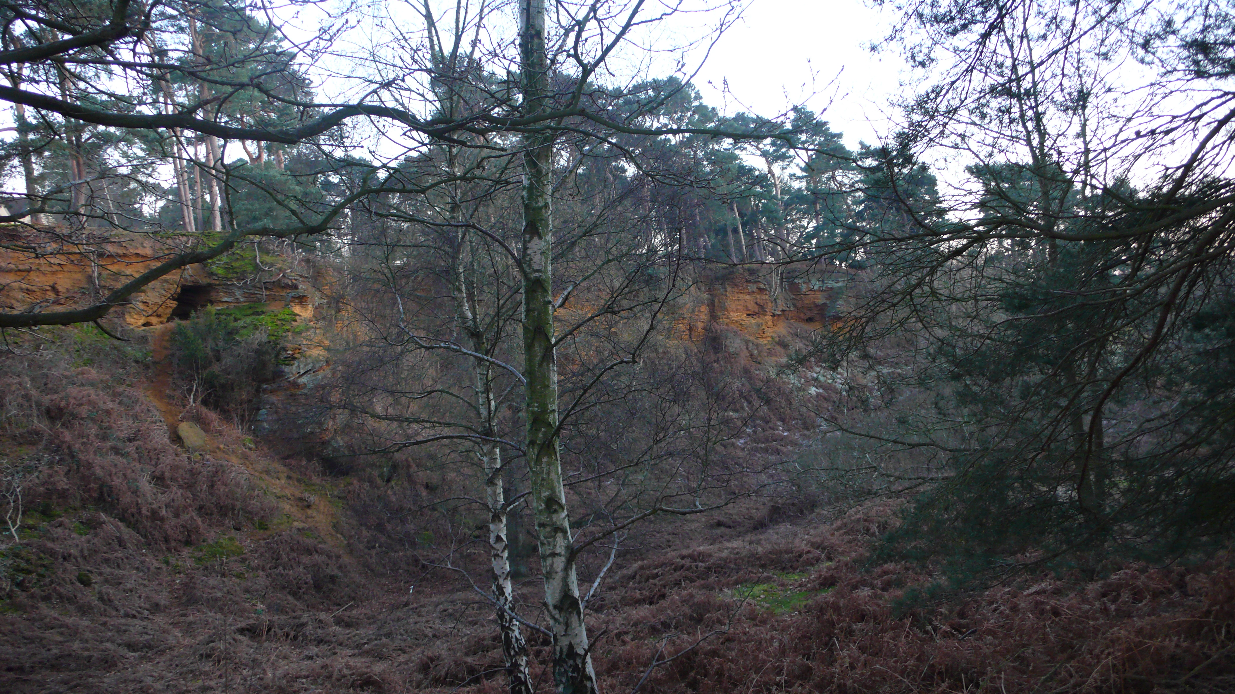
Woodcock Covert Images
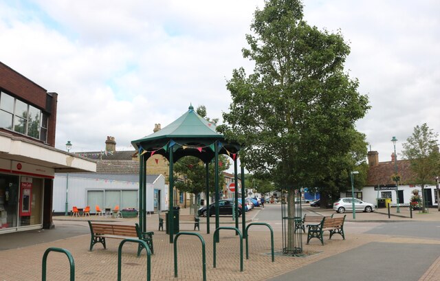
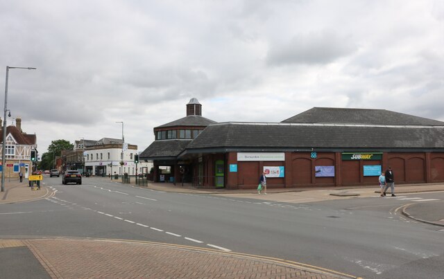
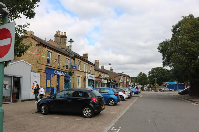
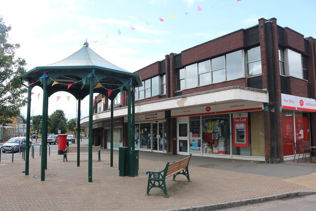
Images are sourced within 2km of 52.123966/-0.26446444 or Grid Reference TL1848. Thanks to Geograph Open Source API. All images are credited.

Woodcock Covert is located at Grid Ref: TL1848 (Lat: 52.123966, Lng: -0.26446444)
Unitary Authority: Central Bedfordshire
Police Authority: Bedfordshire
What 3 Words
///life.emperor.dislodge. Near Sandy, Bedfordshire
Nearby Locations
Related Wikis

Sandy Warren
Sandy Warren is a 16.4-hectare (41-acre) biological Site of Special Scientific Interest in Sandy in Bedfordshire. It is part of The Lodge, a nature reserve...
The Lodge RSPB reserve
RSPB The Lodge is a nature reserve run by the Royal Society for the Protection of Birds (RSPB), named after the building there, The Lodge, which is their...

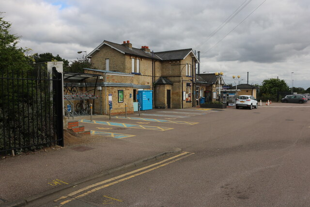
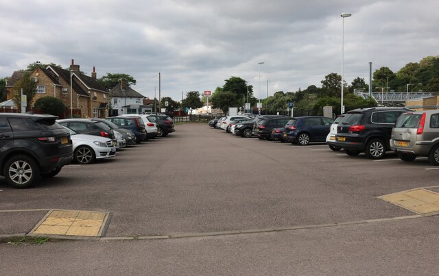
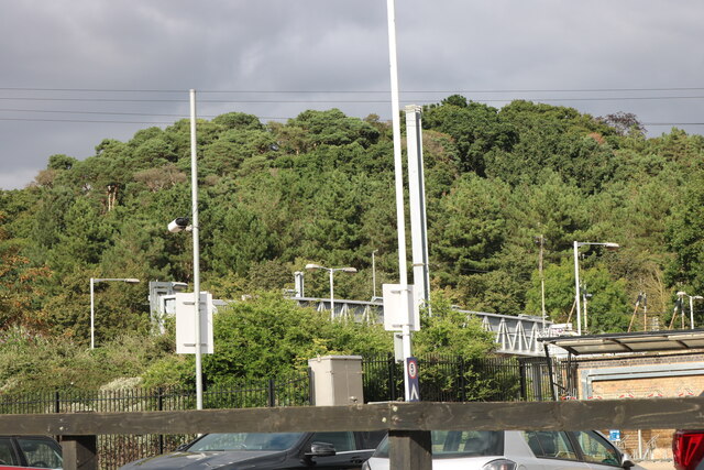
Sandy railway station
Sandy railway station serves the town of Sandy in Bedfordshire, England. It is on the East Coast Main Line, about 44 miles (71 km) from London King's Cross...
Potton Brook
Potton Brook rises east of Gamlingay, Cambridgeshire, and flows southwest and then south through Potton and the John O'Gaunt Golf Club and into Sutton...
Nearby Amenities
Located within 500m of 52.123966,-0.26446444Have you been to Woodcock Covert?
Leave your review of Woodcock Covert below (or comments, questions and feedback).