Sawtry Fen
Downs, Moorland in Huntingdonshire Huntingdonshire
England
Sawtry Fen
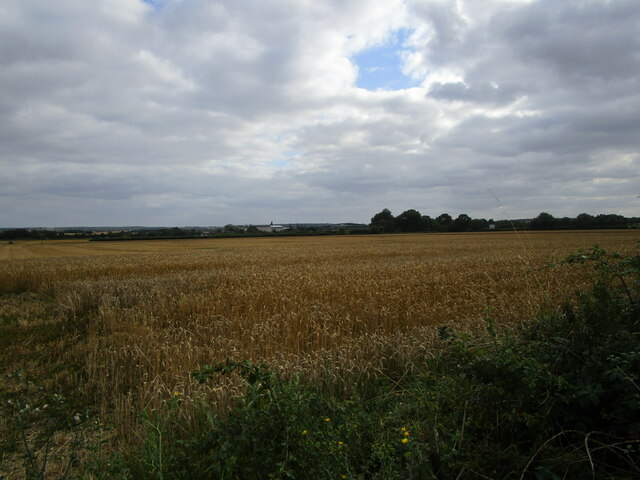
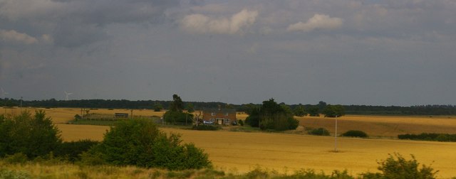
Sawtry Fen, located in Huntingdonshire, is a diverse and picturesque landscape encompassing downs and moorland. Spanning across an area of land, it is characterized by its unique geography and ecosystem, making it an important natural habitat in the region.
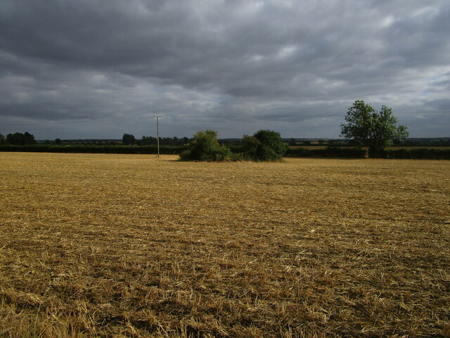
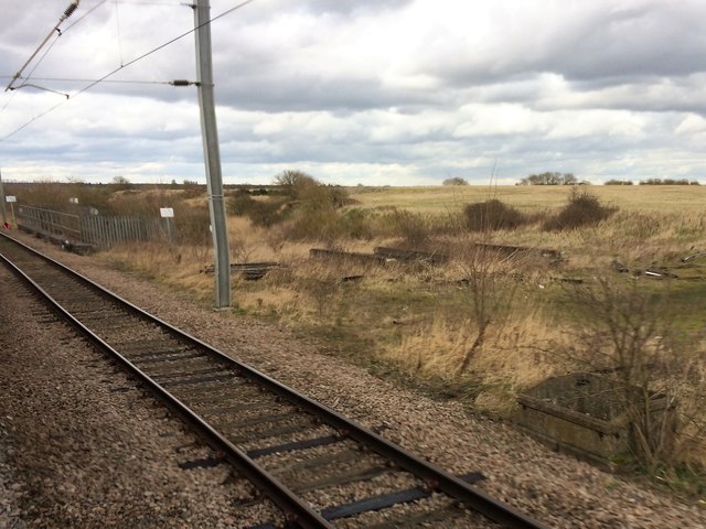
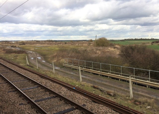
The fen is primarily composed of flat, low-lying land that is prone to seasonal flooding due to its proximity to rivers and streams. This creates an ideal environment for the growth of various wetland plants, such as reeds, sedges, and rushes. These plants provide a sanctuary for numerous bird species, including waders and waterfowl, making it a popular spot for bird watching enthusiasts.
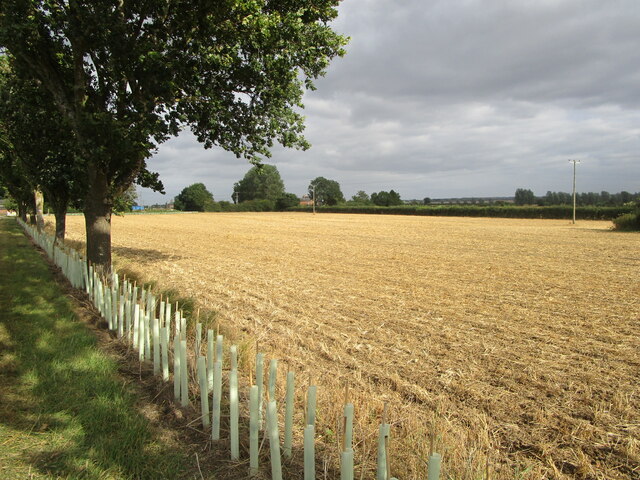
The downs within Sawtry Fen offer a stark contrast to the wetland areas. These elevated grassy hills provide panoramic views of the surrounding countryside and are home to a variety of wildflowers, butterflies, and small mammals. Walking trails crisscross the downs, allowing visitors to explore the area and appreciate its natural beauty.
Moorland can also be found in Sawtry Fen, characterized by its heather-covered hillsides and scattered trees. This type of habitat supports a unique assemblage of wildlife, including reptiles, small mammals, and birds of prey.
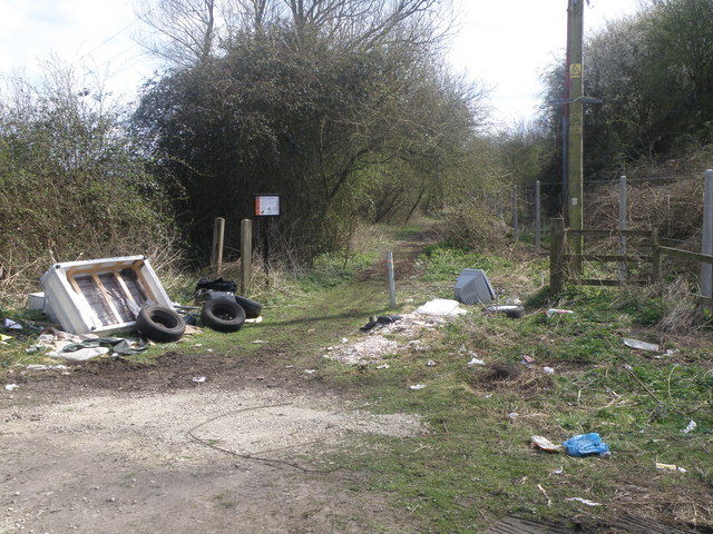
Sawtry Fen is not only an important ecological site but also a place of historical significance. Archaeological evidence suggests that the fen has been inhabited for thousands of years, with traces of ancient settlements and farming activities.
Overall, Sawtry Fen offers a rich and diverse natural environment, providing a haven for both wildlife and nature enthusiasts alike.
If you have any feedback on the listing, please let us know in the comments section below.
Sawtry Fen Images
Images are sourced within 2km of 52.436431/-0.25222767 or Grid Reference TL1883. Thanks to Geograph Open Source API. All images are credited.


Sawtry Fen is located at Grid Ref: TL1883 (Lat: 52.436431, Lng: -0.25222767)
Administrative County: Cambridgeshire
District: Huntingdonshire
Police Authority: Cambridgeshire
What 3 Words
///linguists.pipeline.strays. Near Sawtry, Cambridgeshire
Nearby Locations
Related Wikis

Sawtry Abbey
Sawtry Abbey was a Cistercian abbey located between Sawtry and Woodwalton in Cambridgeshire, England. The abbey was founded in 1147 by Simon II de Senlis...

Connington South rail crash
The Connington South rail crash occurred on 5 March 1967 on the East Coast Main Line near the village of Conington, Huntingdonshire, England. Five passengers...

Church of All Saints, Sawtry
Church of All Saints is a Grade II listed building located in Sawtry, a village in Huntingdonshire, Cambridgeshire, England. It became a listed building...
Sawtry Village Academy
Sawtry Village Academy (formerly Sawtry Community College) is a mixed secondary school and sixth form located in the village of Sawtry, Cambridgeshire...
Nearby Amenities
Located within 500m of 52.436431,-0.25222767Have you been to Sawtry Fen?
Leave your review of Sawtry Fen below (or comments, questions and feedback).