Newborough Fen
Downs, Moorland in Northamptonshire
England
Newborough Fen

Newborough Fen, located in Northamptonshire, is a picturesque area known for its diverse landscape comprising downs and moorland. Covering an approximate area of [insert number] square kilometers, it is an important natural habitat that supports a wide variety of plant and animal species.
The fen is primarily characterized by its rolling downs, which are gently sloping hills covered in grasslands. These downs offer breathtaking panoramic views of the surrounding countryside and are popular with hikers and nature enthusiasts. The grasslands are rich in wildflowers, providing a vibrant display of colors during the spring and summer months.
Interspersed throughout the downs are areas of moorland, characterized by wet, acidic soils and heather vegetation. Moorland is an important habitat for several bird species, including the iconic red grouse. Birdwatchers flock to Newborough Fen to catch a glimpse of these avian residents and to enjoy the tranquil surroundings.
In addition to its natural beauty, Newborough Fen boasts a range of recreational activities, including walking trails, cycling paths, and picnic areas. The fen is also home to a visitor center, providing information about the local flora and fauna, as well as guided tours for those interested in learning more about the area's natural history.
Overall, Newborough Fen, with its downs and moorland, offers a unique and diverse natural environment that attracts visitors from near and far. It serves as an important wildlife habitat and a place for people to connect with nature while enjoying a range of outdoor activities.
If you have any feedback on the listing, please let us know in the comments section below.
Newborough Fen Images
Images are sourced within 2km of 52.628706/-0.24454653 or Grid Reference TF1804. Thanks to Geograph Open Source API. All images are credited.


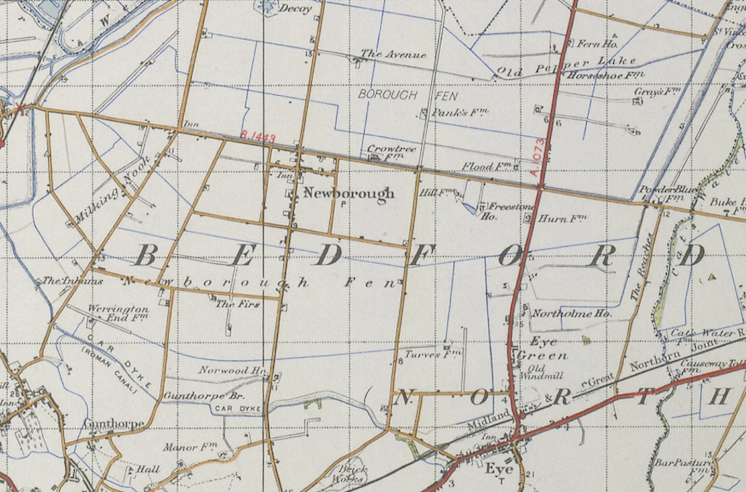
Newborough Fen is located at Grid Ref: TF1804 (Lat: 52.628706, Lng: -0.24454653)
Division: Soke of Peterborough
Unitary Authority: Peterborough
Police Authority: Cambridgeshire
What 3 Words
///vacancies.globe.sundial. Near Newborough, Cambridgeshire
Nearby Locations
Related Wikis
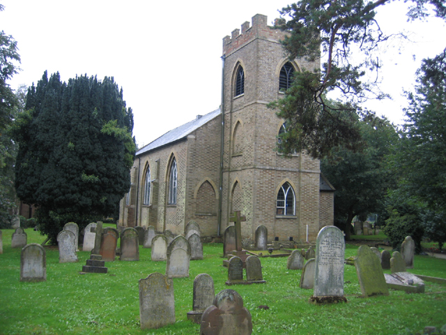
Peakirk
Peakirk is a village and civil parish in the Peterborough district, in the ceremonial county of Cambridgeshire, England. For local government purposes...
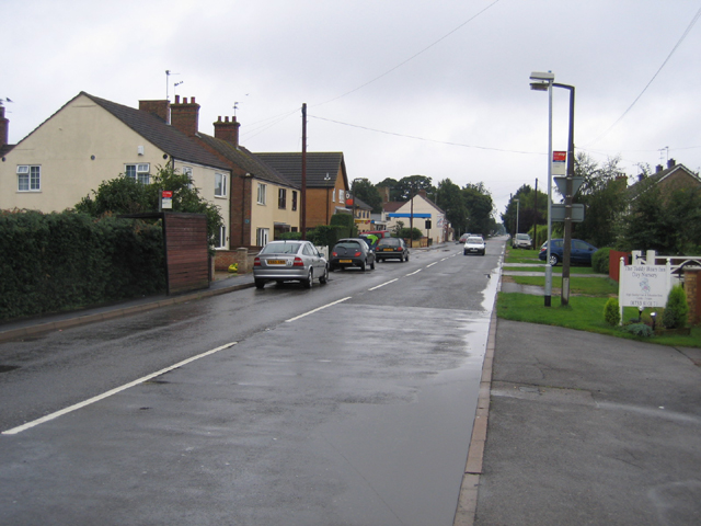
Newborough, Cambridgeshire
Newborough is a village and a civil parish in the Peterborough district, in the ceremonial county of Cambridgeshire, England. Newborough is situated 7...

Gunthorpe, Peterborough
Gunthorpe is a residential area of the city of Peterborough, in the ceremonial county of Cambridgeshire, England. Since 2015 Gunthorpe has its own ward...

Ken Stimpson Academy
Ken Stimpson Academy is a co-educational secondary school and sixth form located in Peterborough in the English county of Cambridgeshire. The school is...
Nearby Amenities
Located within 500m of 52.628706,-0.24454653Have you been to Newborough Fen?
Leave your review of Newborough Fen below (or comments, questions and feedback).