Swading Hill
Hill, Mountain in Bedfordshire
England
Swading Hill
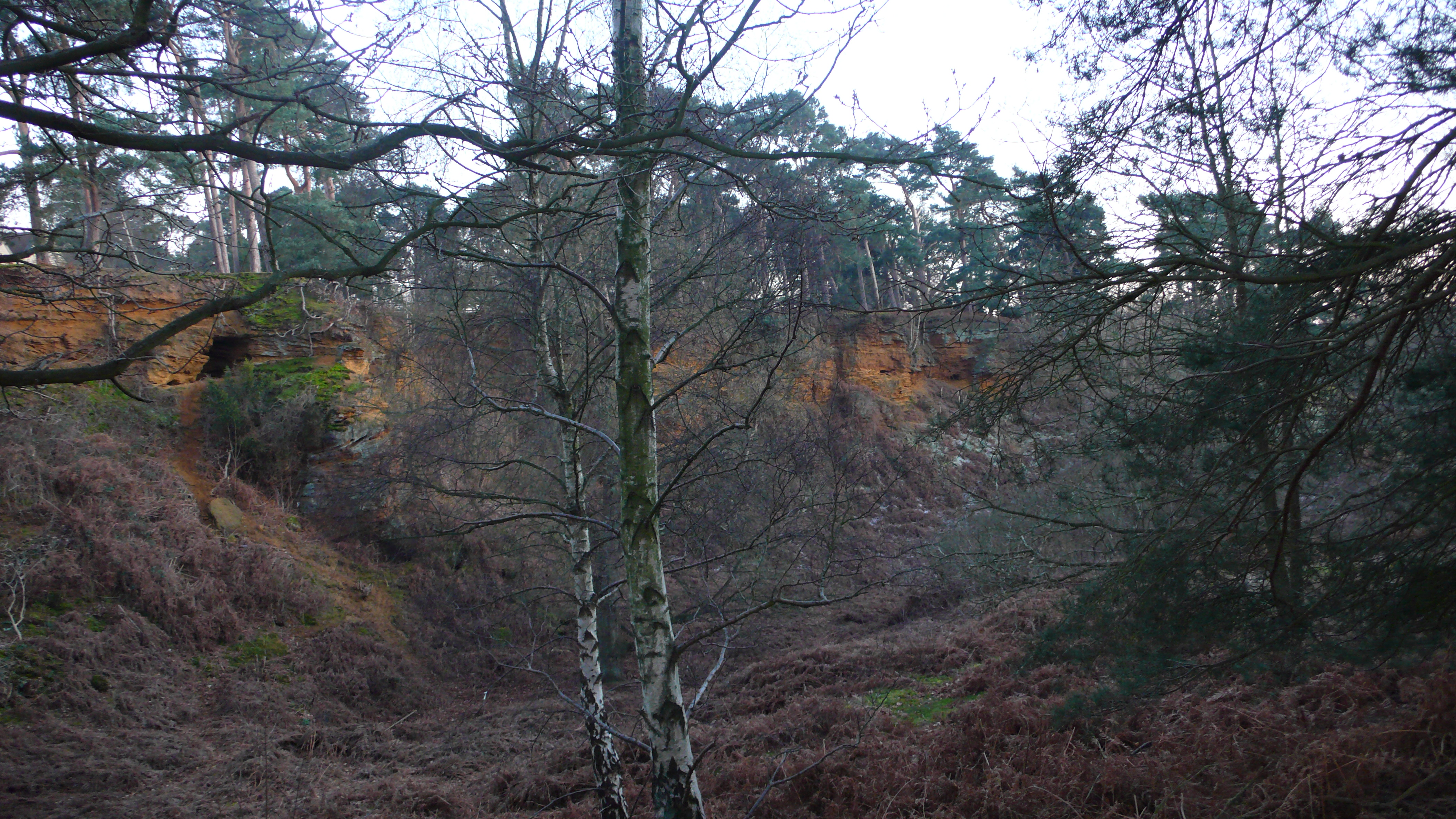
Swading Hill is a prominent hill located in the county of Bedfordshire, England. Rising to an elevation of approximately 165 meters (541 feet), it is a significant landmark in the region. Situated in the northwestern part of the county, Swading Hill is part of the Chiltern Hills, a designated Area of Outstanding Natural Beauty.
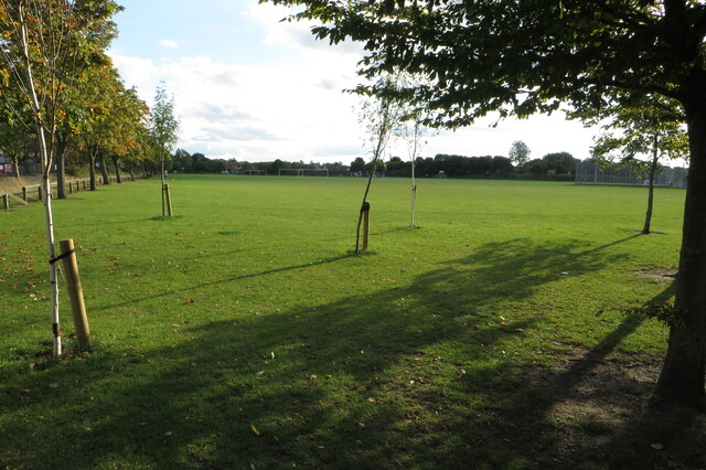
The hill is characterized by its gentle slopes and lush greenery, making it a popular destination for nature enthusiasts and hikers. Its summit offers breathtaking panoramic views of the surrounding countryside, including the picturesque villages and farmland that dot the landscape.
Swading Hill is home to a diverse range of flora and fauna, showcasing the rich biodiversity of the area. The hill's vegetation includes a variety of grasses, wildflowers, and shrubs, providing habitats for numerous species of birds, insects, and small mammals.
In addition to its natural beauty, Swading Hill holds historical significance. The area has evidence of human occupation dating back to prehistoric times, with archaeological finds including ancient burial mounds and artifacts. The hill also served as a defensive site during medieval times, with the remains of an Iron Age hillfort still visible today.
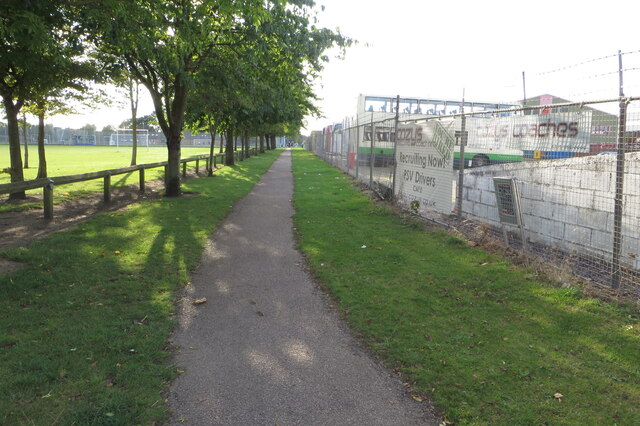
Access to Swading Hill is facilitated by a network of footpaths and trails, allowing visitors to explore its scenic surroundings. Whether it be for a leisurely walk, a challenging hike, or simply to enjoy the tranquility of nature, Swading Hill offers an idyllic escape from the hustle and bustle of modern life.
If you have any feedback on the listing, please let us know in the comments section below.
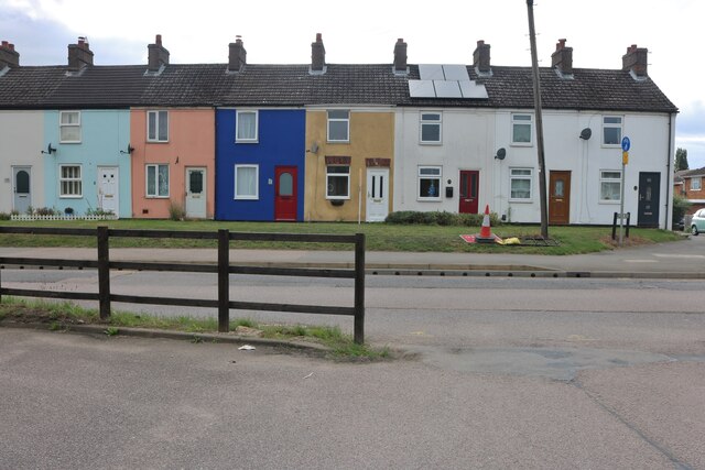
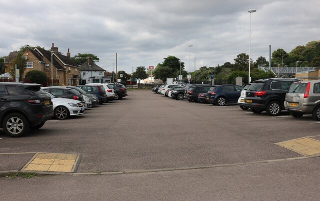
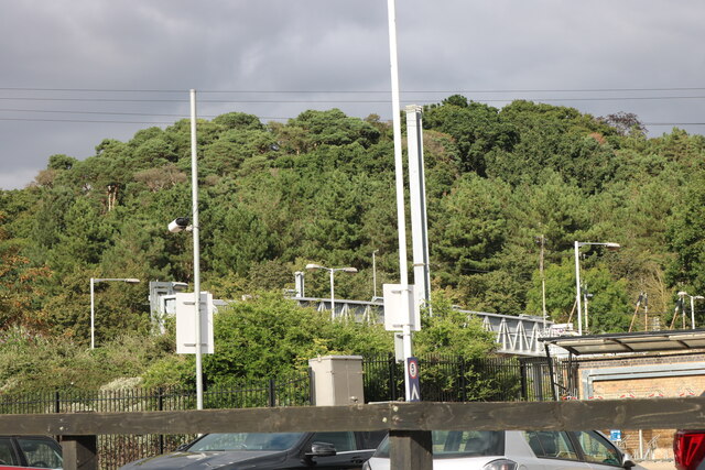
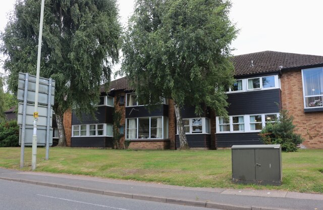
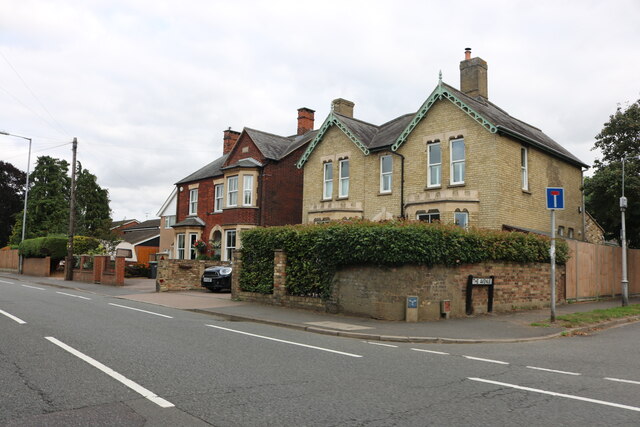
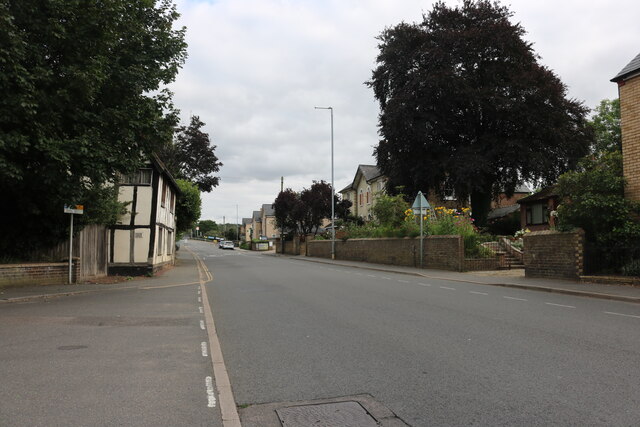
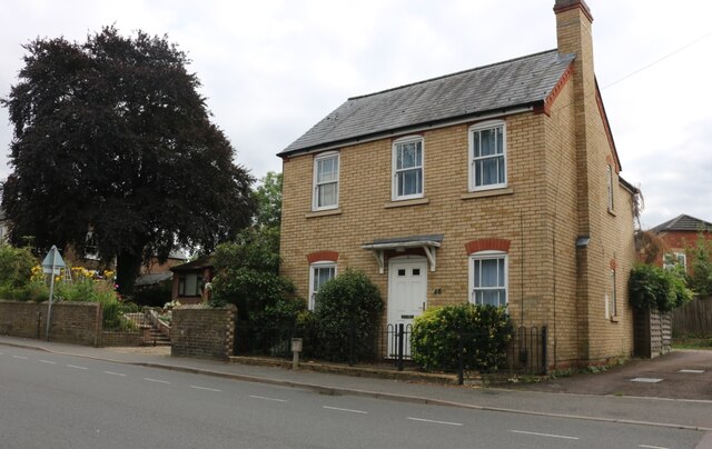
Swading Hill Images
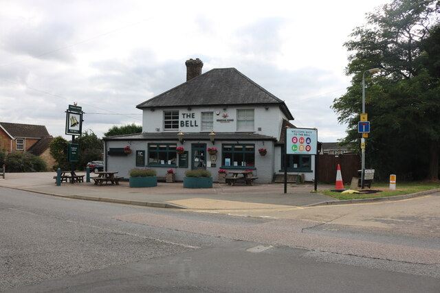
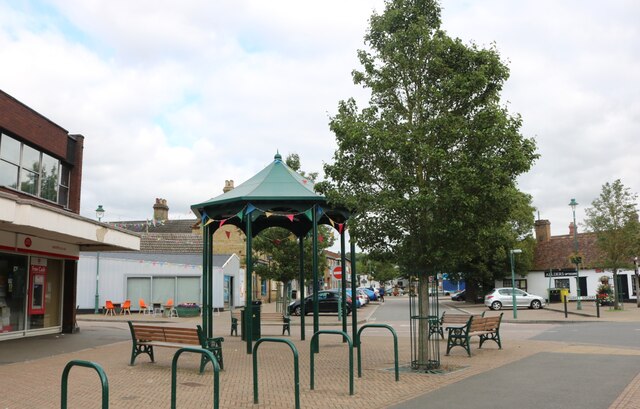
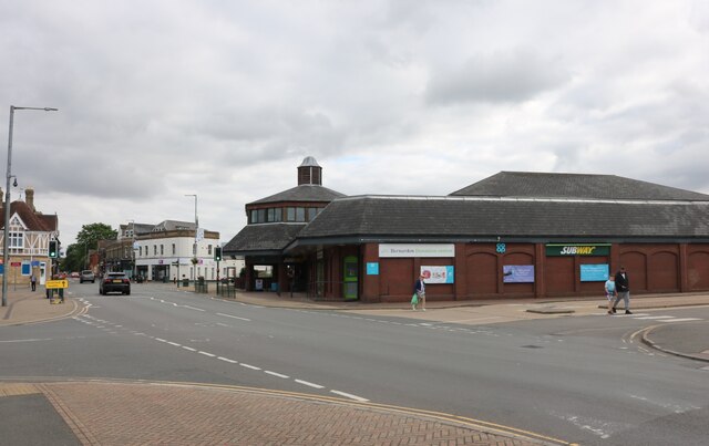
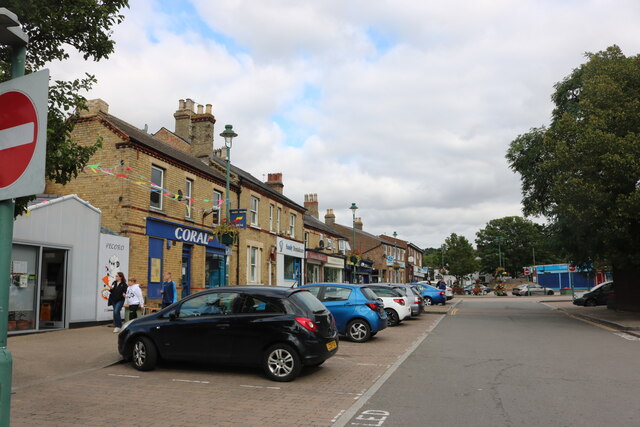
Images are sourced within 2km of 52.123963/-0.27163712 or Grid Reference TL1848. Thanks to Geograph Open Source API. All images are credited.

Swading Hill is located at Grid Ref: TL1848 (Lat: 52.123963, Lng: -0.27163712)
Unitary Authority: Central Bedfordshire
Police Authority: Bedfordshire
What 3 Words
///formed.harmonica.wobbling. Near Sandy, Bedfordshire
Nearby Locations
Related Wikis

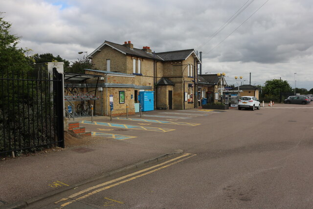
Sandy railway station
Sandy railway station serves the town of Sandy in Bedfordshire, England. It is on the East Coast Main Line, about 44 miles (71 km) from London King's Cross...
The Lodge RSPB reserve
RSPB The Lodge is a nature reserve run by the Royal Society for the Protection of Birds (RSPB), named after the building there, The Lodge, which is their...

Sandy Warren
Sandy Warren is a 16.4-hectare (41-acre) biological Site of Special Scientific Interest in Sandy in Bedfordshire. It is part of The Lodge, a nature reserve...
Potton Brook
Potton Brook rises east of Gamlingay, Cambridgeshire, and flows southwest and then south through Potton and the John O'Gaunt Golf Club and into Sutton...
Nearby Amenities
Located within 500m of 52.123963,-0.27163712Have you been to Swading Hill?
Leave your review of Swading Hill below (or comments, questions and feedback).