Twyers Hill
Hill, Mountain in Yorkshire
England
Twyers Hill

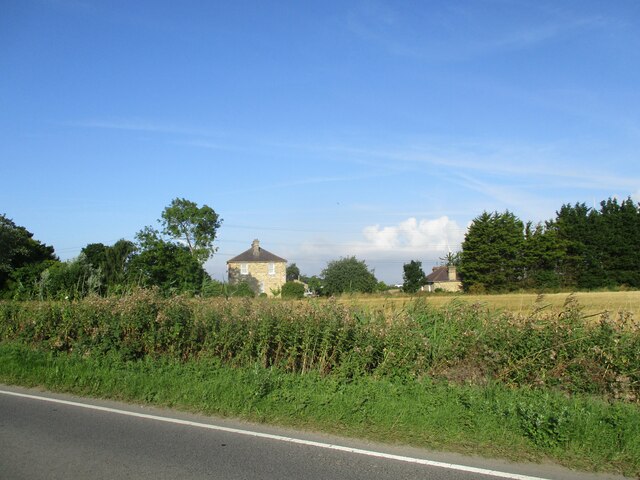
Twyers Hill, located in the county of Yorkshire in northern England, is a prominent geographical feature that has long been admired for its natural beauty and historical significance. Standing at an elevation of around 300 meters, it is considered a hill rather than a mountain due to its relatively modest height.
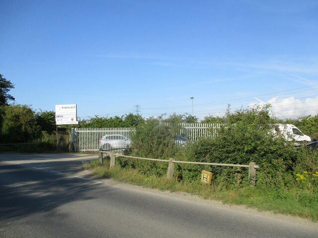
The hill is situated within the Yorkshire Dales National Park, an area renowned for its picturesque landscapes and diverse wildlife. Twyers Hill offers visitors breathtaking panoramic views of the surrounding countryside, including rolling green hills, quaint villages, and meandering rivers.
One of the notable features of Twyers Hill is its geological composition. Made primarily of limestone, the hill showcases the region's rich geological history, with layers of sedimentary rock dating back millions of years. These rock formations have played a crucial role in the formation of caves and underground rivers that are found in the area.
Twyers Hill also holds cultural significance as it has been inhabited by humans for thousands of years. Archaeological evidence suggests that the hill was occupied during the Iron Age, with remains of ancient settlements and fortifications discovered in the vicinity. Additionally, the hill is known for its connection to local folklore and legends, adding an element of mystery and enchantment to its allure.
Overall, Twyers Hill is a captivating destination for nature enthusiasts, history buffs, and those seeking tranquility amidst stunning natural surroundings. Whether hiking its slopes, exploring the nearby caves, or simply enjoying the breathtaking views, visitors to Twyers Hill are sure to be captivated by its beauty and charm.
If you have any feedback on the listing, please let us know in the comments section below.
Twyers Hill Images
Images are sourced within 2km of 53.743664/-0.2063548 or Grid Reference TA1828. Thanks to Geograph Open Source API. All images are credited.


Twyers Hill is located at Grid Ref: TA1828 (Lat: 53.743664, Lng: -0.2063548)
Division: East Riding
Unitary Authority: East Riding of Yorkshire
Police Authority: Humberside
What 3 Words
///fearfully.forest.hiring. Near Hedon, East Yorkshire
Nearby Locations
Related Wikis
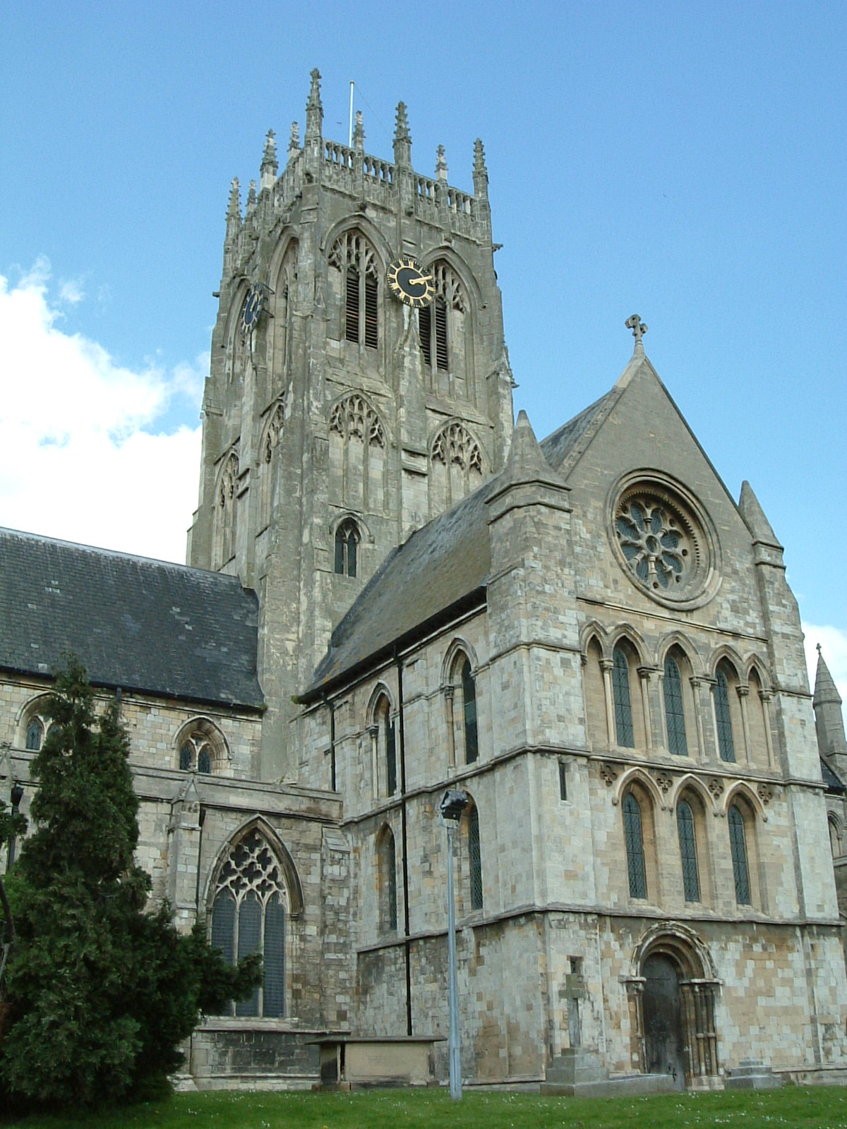
St Augustine's Church, Hedon
St Augustine's Church is a Church of England parish church located in Hedon, East Riding of Yorkshire, England. The church is a Grade I listed building...
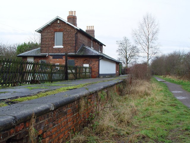
Hedon railway station
Hedon railway station is a disused railway station on the North Eastern Railway's Hull and Holderness Railway on the northern edge of Hedon in the East...

Hedon Town Hall
Hedon Town Hall is a municipal building in St Augustine's Gate, Hedon, East Riding of Yorkshire, England. The building, which is the meeting place of Hedon...
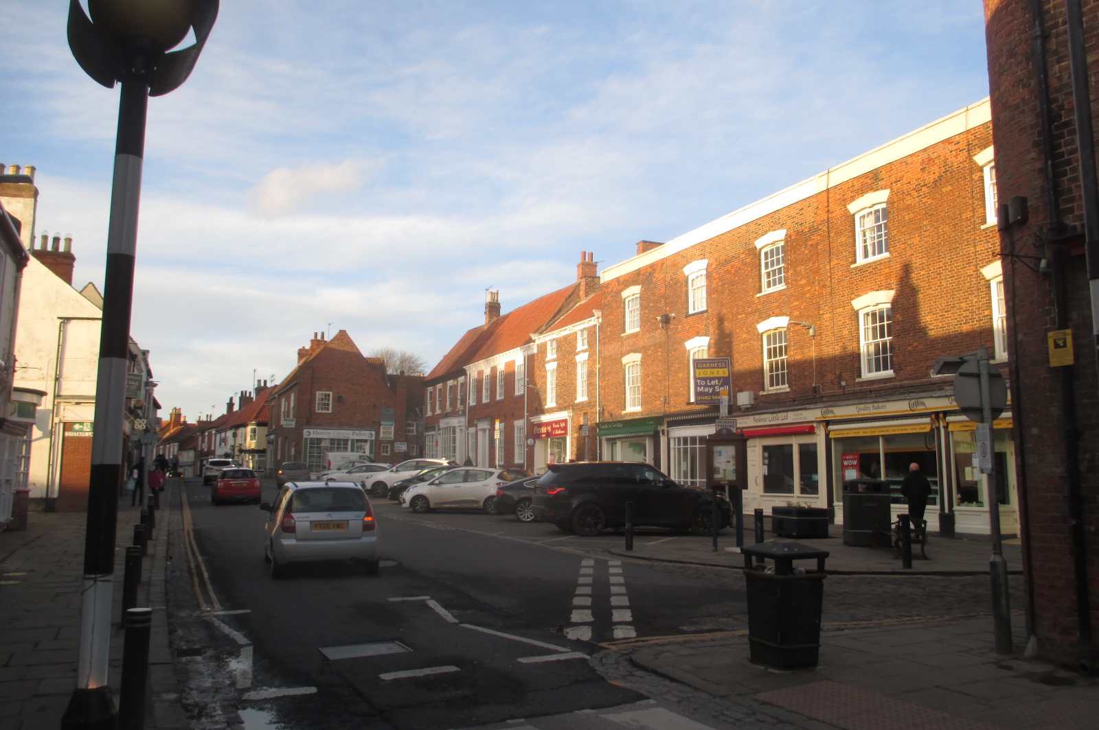
Hedon
Hedon is a town and civil parish in Holderness in the East Riding of Yorkshire, England. It is situated approximately 5 miles (8 km) east of Hull city...
Related Videos


Sulking
Teddy sulked when he wore the dog coat his Grandma bought him for Christmas, in the extreme cold we had on Thursday 18th ...
![🇬🇧 യുക്കെ ഓൾഡ് സിറ്റി ഹൾ Kingston upon hull street walk [4K HDR] @MalluTraveler #unitedkingdom #uk](https://i.ytimg.com/vi/BqYLCaeA3hc/hqdefault.jpg)
🇬🇧 യുക്കെ ഓൾഡ് സിറ്റി ഹൾ Kingston upon hull street walk [4K HDR] @MalluTraveler #unitedkingdom #uk
uk #trending #shorts #instagram#travel #live #life.

Our life in UK: Exploring Yorkshire - Humber Bridge Country Park
My favorite relaxing spot in our British Home town. Just 15 minutes away from the city center, this is a hidden gem, an oasis of ...
Nearby Amenities
Located within 500m of 53.743664,-0.2063548Have you been to Twyers Hill?
Leave your review of Twyers Hill below (or comments, questions and feedback).