Mill Hill
Hill, Mountain in Yorkshire
England
Mill Hill
Mill Hill is a small village located in the district of Craven, in the county of Yorkshire, England. Situated in the heart of the Yorkshire Dales, it is nestled on the slopes of a picturesque hill, giving it its name. The village is known for its stunning natural beauty and tranquil atmosphere, attracting visitors seeking a peaceful retreat amidst the scenic countryside.
The village itself is home to a close-knit community, with a population of around 300 residents. It has a charming, traditional English feel, with stone-built houses and quaint cottages dotting the landscape. The local economy primarily relies on agriculture and tourism, with many residents involved in farming or providing services to visitors.
Surrounded by rolling hills and lush green fields, Mill Hill offers breathtaking panoramic views of the Yorkshire Dales. It is an ideal destination for outdoor enthusiasts, with numerous walking and hiking trails crisscrossing the area. One of the most popular trails is the Mill Hill Circular Walk, which takes visitors on a scenic journey through the village and its surrounding countryside.
In addition to its natural beauty, Mill Hill also has a rich history. The village dates back to medieval times and is home to several historic landmarks, including St. Mary's Church, which dates back to the 12th century. The church is a testament to the village's long-standing presence and serves as a gathering place for the local community.
Overall, Mill Hill, Yorkshire, is a charming and idyllic village in the heart of the Yorkshire Dales. With its stunning natural surroundings, rich history, and welcoming community, it offers a peaceful and picturesque retreat for both residents and visitors alike.
If you have any feedback on the listing, please let us know in the comments section below.
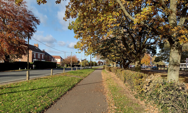
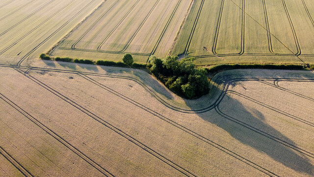
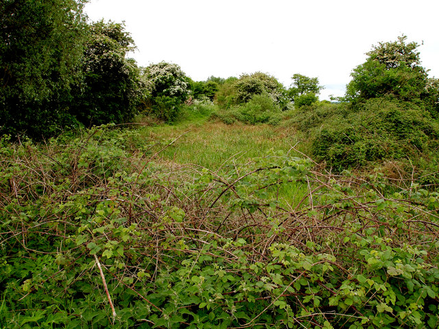
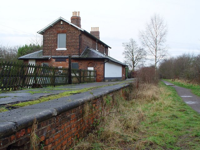
Mill Hill Images
Images are sourced within 2km of 53.761851/-0.20463917 or Grid Reference TA1830. Thanks to Geograph Open Source API. All images are credited.


Mill Hill is located at Grid Ref: TA1830 (Lat: 53.761851, Lng: -0.20463917)
Division: East Riding
Unitary Authority: East Riding of Yorkshire
Police Authority: Humberside
What 3 Words
///supposed.racetrack.anchovies. Near Preston, East Yorkshire
Related Wikis

Preston, East Riding of Yorkshire
Preston is a village and civil parish in the East Riding of Yorkshire, England, in an area known as Holderness. It is situated approximately 6 miles...
Hedon railway station
Hedon railway station is a disused railway station on the North Eastern Railway's Hull and Holderness Railway on the northern edge of Hedon in the East...
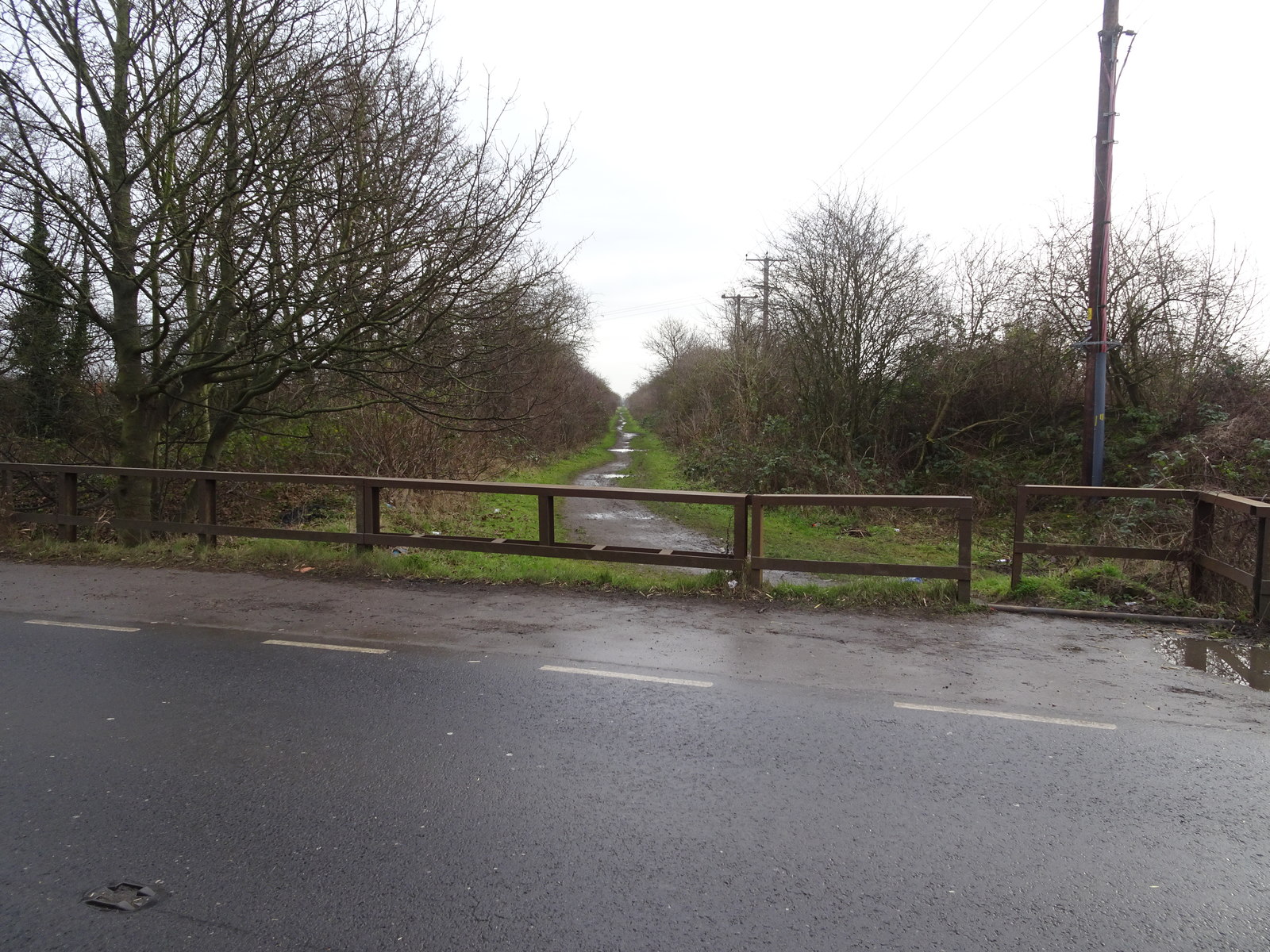
Hedon Racecourse railway station
Hedon Racecourse railway station is a disused railway station on the North Eastern Railway's Hull and Holderness Railway to the west of Hedon in the East...
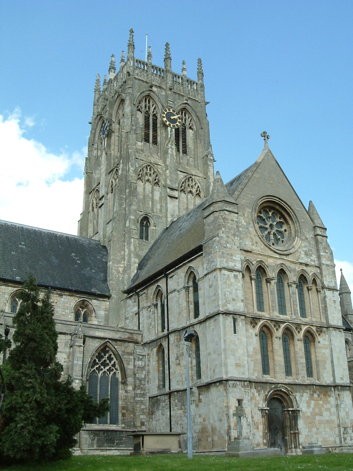
St Augustine's Church, Hedon
St Augustine's Church is a Church of England parish church located in Hedon, East Riding of Yorkshire, England. The church is a Grade I listed building...

Hedon Town Hall
Hedon Town Hall is a municipal building in St Augustine's Gate, Hedon, East Riding of Yorkshire, England. The building, which is the meeting place of Hedon...

Wyton, East Riding of Yorkshire
Wyton is a hamlet in the civil parish of Bilton, in the East Riding of Yorkshire, It is situated approximately 6 miles (9.7 km) east of Kingston upon Hull...

Hedon Aerodrome
Hedon Aerodrome (also known as Royal Air Force Hedon and Royal Air Force Hull), was an airfield located 6 miles (9.7 km) east of Kingston upon Hull in...
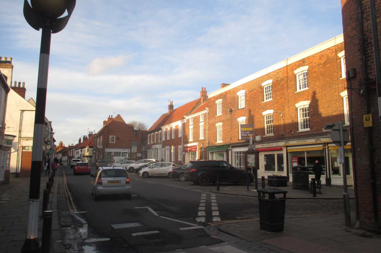
Hedon
Hedon is a town and civil parish in Holderness in the East Riding of Yorkshire, England. It is situated approximately 5 miles (8 km) east of Hull city...
Related Videos

Our life in UK: Exploring Yorkshire - Humber Bridge Country Park
My favorite relaxing spot in our British Home town. Just 15 minutes away from the city center, this is a hidden gem, an oasis of ...
![🇬🇧 യുക്കെ ഓൾഡ് സിറ്റി ഹൾ Kingston upon hull street walk [4K HDR] @MalluTraveler #unitedkingdom #uk](https://i.ytimg.com/vi/BqYLCaeA3hc/hqdefault.jpg)
🇬🇧 യുക്കെ ഓൾഡ് സിറ്റി ഹൾ Kingston upon hull street walk [4K HDR] @MalluTraveler #unitedkingdom #uk
uk #trending #shorts #instagram#travel #live #life.

Adults-Only Spring Valley Camping: Celebrate Abbey's Special Day!
Spring Valley is an Adult only campsite on the outskirts of Hull, East Yorkshire. It is within easy reach of Hull City Centre and the ...

Hull Rise stills 31 8 18
Music - Heartstrings by The Lemming Shepherds Exzel Music Publishing (freemusicpublicdomain.com) Licensed under Creative ...
Nearby Amenities
Located within 500m of 53.761851,-0.20463917Have you been to Mill Hill?
Leave your review of Mill Hill below (or comments, questions and feedback).