Steep Down
Hill, Mountain in Sussex Adur
England
Steep Down
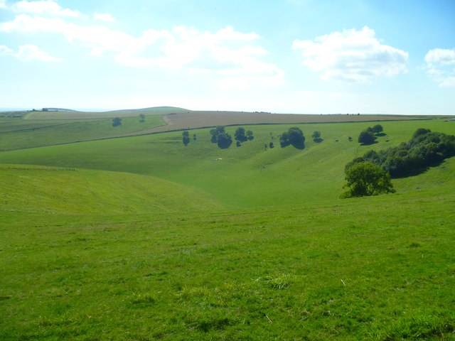
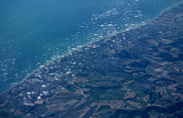
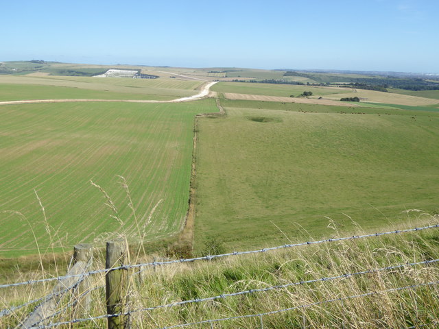
Steep Down is a prominent hill located in the county of Sussex, England. Situated in the South Downs National Park, it is known for its picturesque landscapes and stunning views. Rising to an elevation of approximately 200 meters (650 feet), Steep Down offers visitors a unique vantage point to appreciate the surrounding countryside.
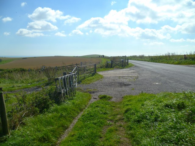
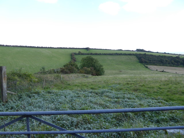
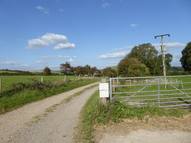
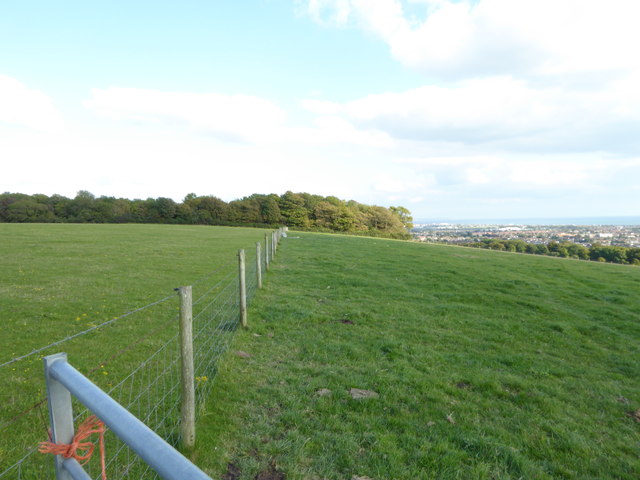
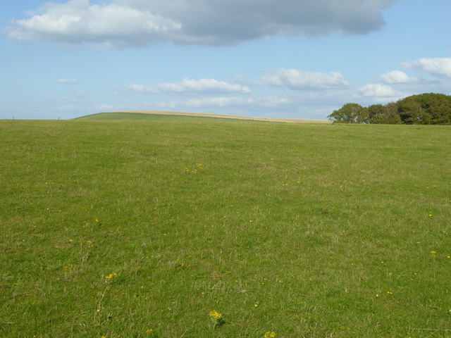
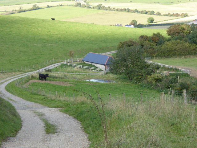
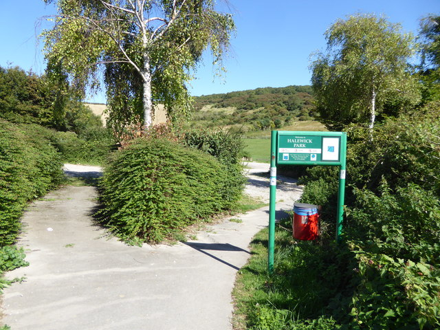
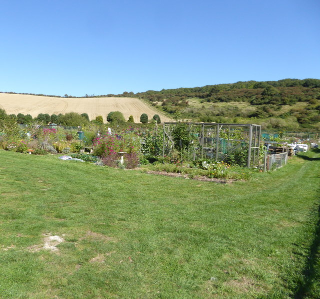
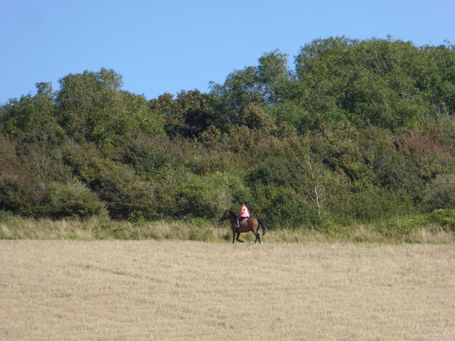
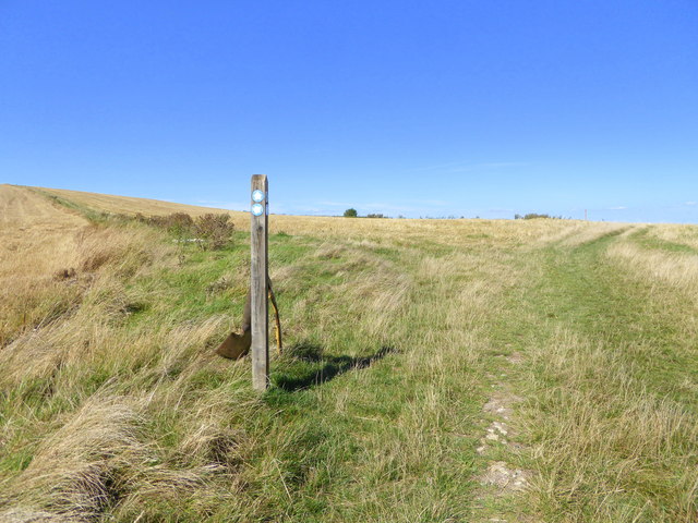
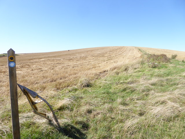
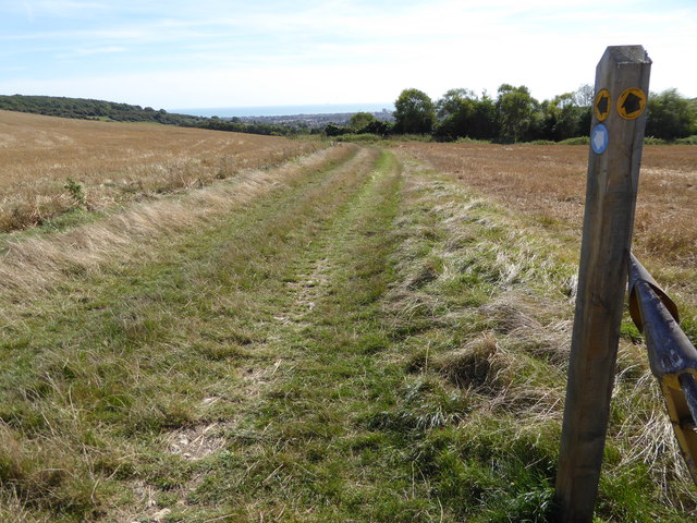
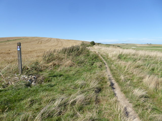
Covered in lush greenery and rolling fields, Steep Down is home to a diverse range of plant and animal species, making it a popular destination for nature enthusiasts and hikers. The hill boasts several well-maintained footpaths and trails, allowing visitors to explore its scenic beauty at their own pace. These paths are suitable for all levels of fitness and offer a range of distances to cater to different preferences.
At the summit of Steep Down, visitors are rewarded with panoramic views that stretch across the Sussex countryside. On clear days, it is possible to see as far as the English Channel, providing a breathtaking glimpse of the coast. The hill's elevated position also makes it a prime spot for paragliding and other recreational activities for those seeking a more adventurous experience.
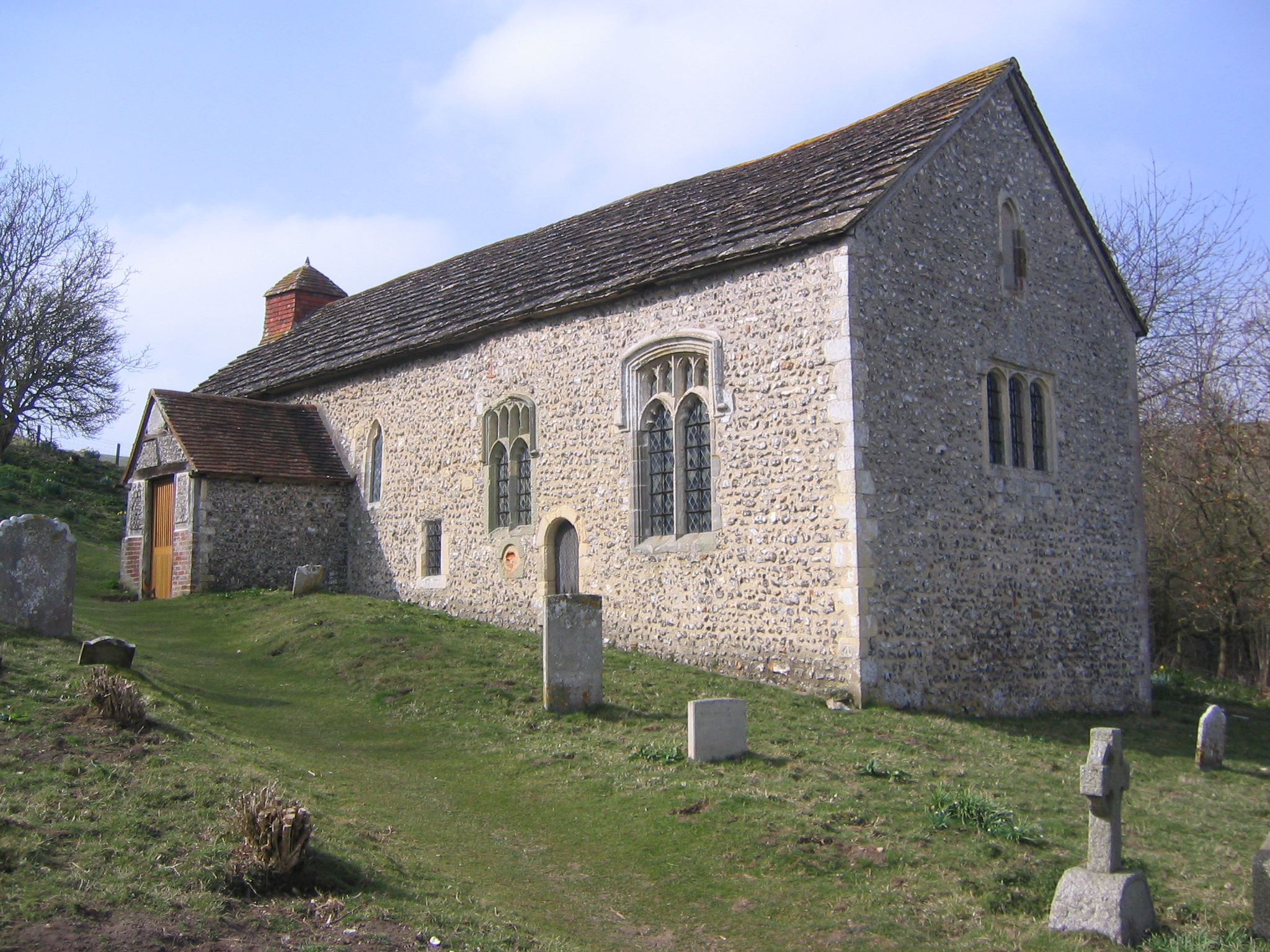
Nearby, there are several quaint villages and charming country pubs where visitors can rest and enjoy the local cuisine. The area surrounding Steep Down is steeped in history, with archaeological remains dating back centuries, adding an additional layer of interest for those with a curiosity for the past.
In conclusion, Steep Down is a captivating hill in Sussex, offering visitors stunning views, a variety of walking trails, and a rich natural and historical heritage to explore.
If you have any feedback on the listing, please let us know in the comments section below.
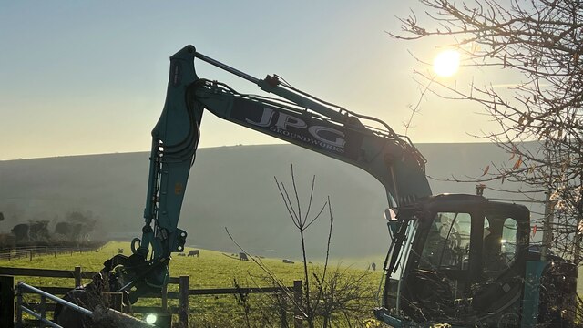
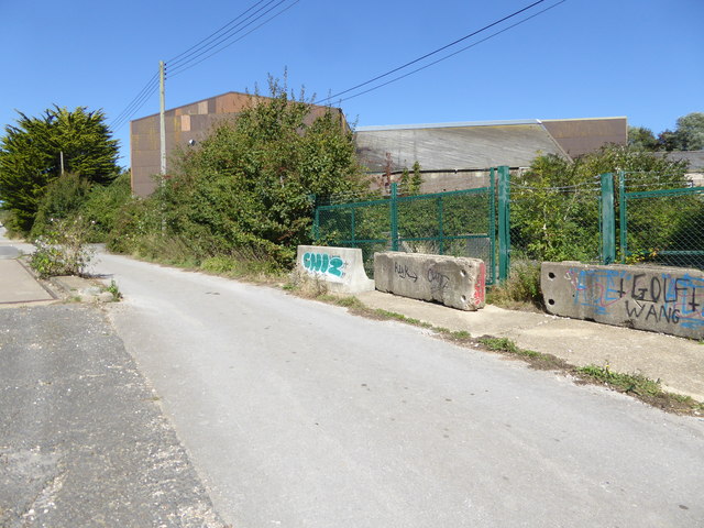
Steep Down Images
Images are sourced within 2km of 50.855733/-0.34127687 or Grid Reference TQ1607. Thanks to Geograph Open Source API. All images are credited.
Steep Down is located at Grid Ref: TQ1607 (Lat: 50.855733, Lng: -0.34127687)
Administrative County: West Sussex
District: Adur
Police Authority: Sussex
What 3 Words
///scam.bucket.chained. Near Lancing, West Sussex
Nearby Locations
Related Wikis

Sompting & North Lancing (electoral division)
Sompting & North Lancing is an electoral division of West Sussex in the United Kingdom, and returns one member to sit on the West Sussex County Council...
Sompting Abbotts Preparatory School
Sompting Abbotts Preparatory School is a historic West Sussex independent school in Sompting, near Worthing and Steyning. It educates children of both...

Lancing Ring
Lancing Ring is a 29.4-hectare (73-acre) Local Nature Reserve in Lancing in West Sussex. It is owned and managed by Adur District Council.This chalk grassland...

Church of St Mary the Blessed Virgin, Sompting
The Church of St Mary the Blessed Virgin, also known as St Mary the Virgin Church and St Mary's Church, is the Church of England parish church of Sompting...
Coombes Church
Coombes Church is a Church of England parish church in the rural hamlet of Coombes in the Adur District of West Sussex, England. It has served the rural...

Sir Robert Woodard Academy
The Sir Robert Woodard Academy is a mixed gender academy, sponsored by Woodard Schools and West Sussex County Council, in Lancing, West Sussex which opened...
Boundstone Community College
Boundstone Community College was a co-educational comprehensive school for pupils aged 11 to 18, with around 1,000 pupils, including over 100 in the Sixth...

St James the Less Church, Lancing
St James the Less Church is the Anglican parish church of Lancing, an ancient village which has been absorbed into the modern town of Lancing in the district...
Nearby Amenities
Located within 500m of 50.855733,-0.34127687Have you been to Steep Down?
Leave your review of Steep Down below (or comments, questions and feedback).