Annington Hill

Hill, Mountain in Sussex Horsham

England

Annington Hill

Clump of trees near the top of Steyning Bowl
Clump of trees near the top of Steyning Bowl Credit: Ian Cunliffe

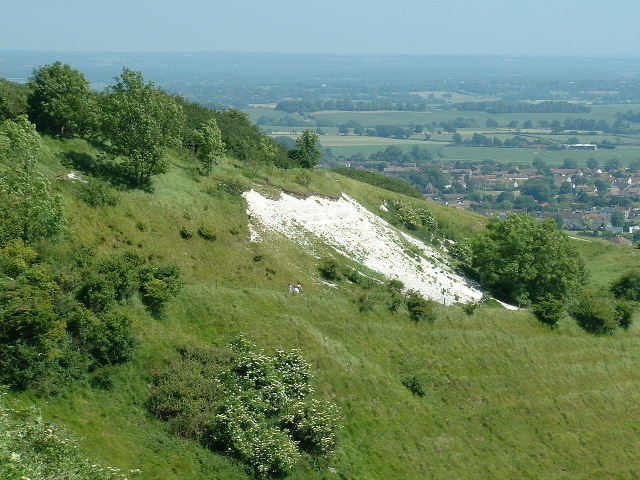
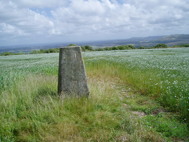
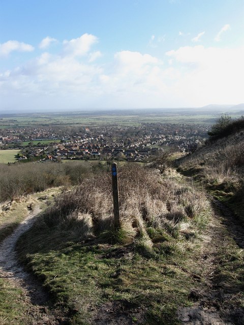
Annington Hill, located in Sussex, is a prominent landmark known for its picturesque beauty and historical significance. Rising to an elevation of 244 meters (800 feet), it is popularly referred to as Annington Beacon due to its prominent beacon tower that once served as a signaling point during World War II.

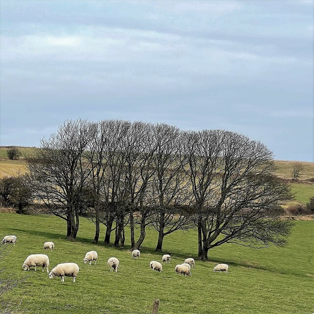
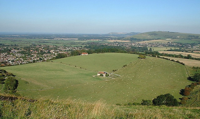
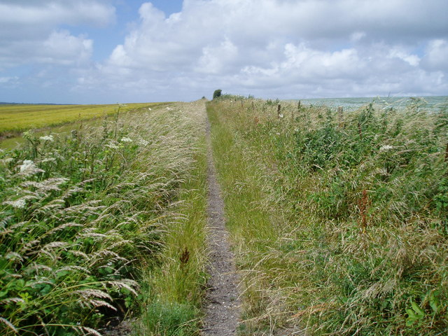
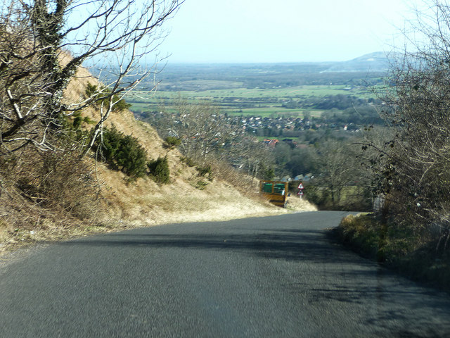
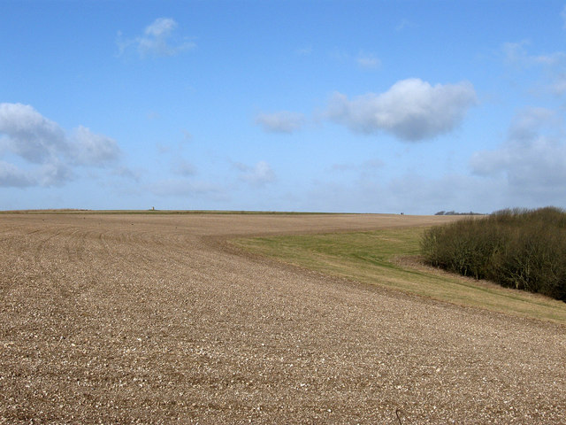
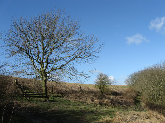
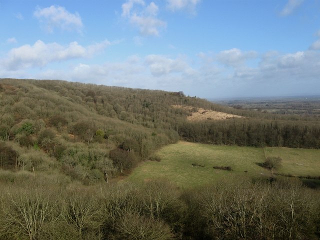
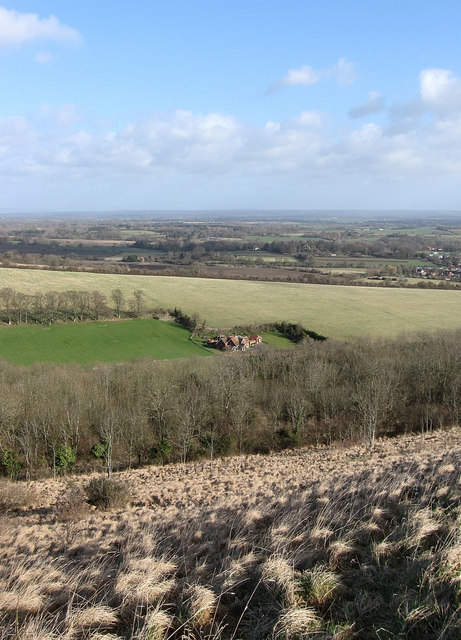
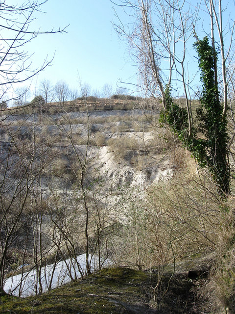
Situated in the South Downs National Park, Annington Hill offers breathtaking panoramic views of the surrounding countryside. Its slopes are covered in lush greenery and adorned with colorful wildflowers, creating a serene and tranquil atmosphere. The hill is home to a diverse range of flora and fauna, including rare species of butterflies and birds, making it a haven for nature enthusiasts and birdwatchers.

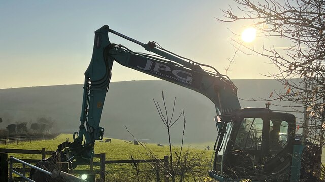
Annington Hill is also steeped in history, with evidence of human habitation dating back to the Bronze Age. Archaeological excavations have uncovered remnants of ancient settlements and burial mounds, providing valuable insights into the region's past. Additionally, the hill played a significant role during the Roman era, serving as a strategic vantage point and signaling station.

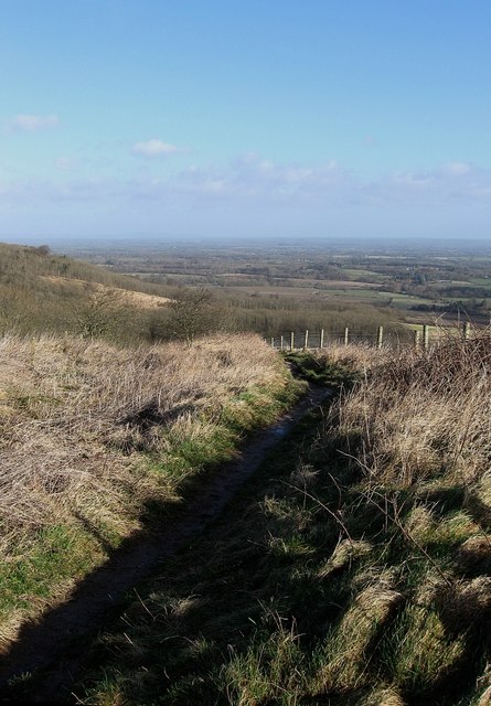
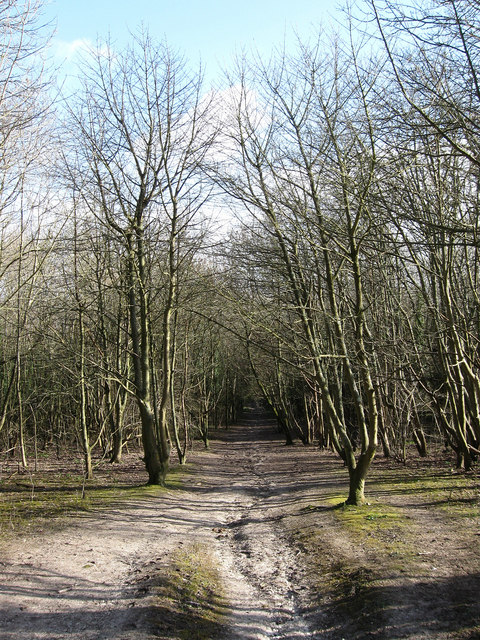
Accessible via well-maintained footpaths, Annington Hill attracts hikers and walkers who enjoy exploring the rolling countryside and taking in the breathtaking views. The tranquility and natural beauty of the surroundings make it an ideal destination for a peaceful retreat or a leisurely picnic amidst the scenic landscape.

Overall, Annington Hill in Sussex offers a perfect blend of natural beauty, historical significance, and recreational opportunities, making it a must-visit destination for nature lovers and history enthusiasts alike.

If you have any feedback on the listing, please let us know in the comments section below.

Annington Hill Images

Images are sourced within 2km of 50.867543/-0.33949347 or Grid Reference TQ1608. Thanks to Geograph Open Source API. All images are credited.

Clump of trees near the top of Steyning Bowl
Mechanical digger - north of Lychpole Farm
Steyning Round Hill East side high above Steyning village.
Steyning Round Hill
East side high above Steyning village.
Steyning Housing in the centre of the square.
Steyning
Housing in the centre of the square.
View across Steyning & Upper Beeding Looking ENE from Steyning Round Hill across the valley towards the Truleigh Hill
View across Steyning & Upper Beeding
Looking ENE from Steyning Round Hill across the valley towards the Truleigh Hill
Upper Maudlin Farm from Steyning Roundhill Looking East South East from Steyning Roundhill across Upper Maudlin Farm with the Cement Works Quarry in the distance.
Upper Maudlin Farm from Steyning Roundhill
Looking East South East from Steyning Roundhill across Upper Maudlin Farm with the Cement Works Quarry in the distance.
The Monarch's Way Looking west on restricted byway 2080.
The Monarch's Way
Looking west on restricted byway 2080.
Trig point near Steyning Round Hill The bench mark S3996 is inscribed on the trig point which is situated west of the South Downs Way.The Sussex Weald and South Downs escarpment can be seen in the distance.
Trig point near Steyning Round Hill
The bench mark S3996 is inscribed on the trig point which is situated west of the South Downs Way.The Sussex Weald and South Downs escarpment can be seen in the distance.
The Monarch's Way on Sopers Lane Looking west along bridleway 2292 which is now a metaled road the route passes Maudlyn Parkway.
The Monarch's Way on Sopers Lane
Looking west along bridleway 2292 which is now a metaled road the route passes Maudlyn Parkway.
Bostal Road
Bostal Road
Steyning Round Hill The western flank of the hill with the woods that line the escarpment to the right and the trig point just visible centre left.
Steyning Round Hill
The western flank of the hill with the woods that line the escarpment to the right and the trig point just visible centre left.
Cross Dyke, Steyning Round Hill A reminder of the prehistoric communities that lived up on the hill in the Bronze Age. Other long barrows existed but were ploughed out during the 1950s leaving this small section of a dyke as the only visible reminder. The bridleway follows the course of it until its junction with another further on.
Cross Dyke, Steyning Round Hill
A reminder of the prehistoric communities that lived up on the hill in the Bronze Age. Other long barrows existed but were ploughed out during the 1950s leaving this small section of a dyke as the only visible reminder. The bridleway follows the course of it until its junction with another further on.
Bridleway Junction, Steyning Round Hill The bridleway from Newham Lane to Charlton Court is joined by another coming from the South Downs Way. The seat gives fine views out over the small town of Steyning.
Bridleway Junction, Steyning Round Hill
The bridleway from Newham Lane to Charlton Court is joined by another coming from the South Downs Way. The seat gives fine views out over the small town of Steyning.
Pepperscoombe Small dry valley at the foot of Steyning Round Hill. There are two nature trails around it, the upper one which includes the bridleway I am standing on and a lower one that follows the woods round the foot of the hill.
Pepperscoombe
Small dry valley at the foot of Steyning Round Hill. There are two nature trails around it, the upper one which includes the bridleway I am standing on and a lower one that follows the woods round the foot of the hill.
Bridleway Junction, Steyning Round Hill Both go to Newham Lane but are separated on their respective routes by a chalk pit. The small town of Steyning is beyond.
Bridleway Junction, Steyning Round Hill
Both go to Newham Lane but are separated on their respective routes by a chalk pit. The small town of Steyning is beyond.
Pepperscoombe The name of the house below as well as the small dry valley at the foot of Steyning Round Hill. The Low Weald can be seen beyond.
Pepperscoombe
The name of the house below as well as the small dry valley at the foot of Steyning Round Hill. The Low Weald can be seen beyond.
Chalk Pit, Steyning Round Hill Like most of the chalk pits on the Sussex Downs it stopped working in the 1980s and is now used as a builders yard. Viewed from the bridleway that descends Steyning Round Hill on the northern side.
Chalk Pit, Steyning Round Hill
Like most of the chalk pits on the Sussex Downs it stopped working in the 1980s and is now used as a builders yard. Viewed from the bridleway that descends Steyning Round Hill on the northern side.
Bridleway to Newham Lane Descending the wooded lower northern slope of Steyning Round Hill. The bridleway is part of a local nature walk around Pepperscombe known as the Outer Horseshoe which runs around the top of the combe. A footpath known as the Inner Horseshoe runs around the base.
Bridleway to Newham Lane
Descending the wooded lower northern slope of Steyning Round Hill. The bridleway is part of a local nature walk around Pepperscombe known as the Outer Horseshoe which runs around the top of the combe. A footpath known as the Inner Horseshoe runs around the base.
Show me another place!

Annington Hill is located at Grid Ref: TQ1608 (Lat: 50.867543, Lng: -0.33949347)

Administrative County: West Sussex

District: Horsham

Police Authority: Sussex

What 3 Words

///gears.basis.trial. Near Steyning, West Sussex

Nearby Locations

Annington Hill

Related Wikis

Sompting & North Lancing (electoral division)

Sompting & North Lancing is an electoral division of West Sussex in the United Kingdom, and returns one member to sit on the West Sussex County Council...
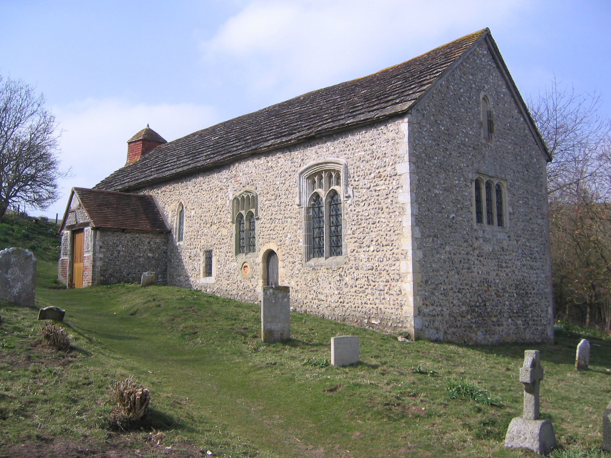
Coombes Church

Coombes Church is a Church of England parish church in the rural hamlet of Coombes in the Adur District of West Sussex, England. It has served the rural...

Bramber railway station

Bramber was a railway station in England on the Steyning Line which served the village of Bramber. The station was patronised by tourists visiting nearby...

Coombes

Coombes is a small village and civil parish in the Adur District of West Sussex, England. The village is in the Adur Valley 2 miles (3.2 km) northwest...

Steyning

Steyning ( STEN-ing) is a town and civil parish in the Horsham district of West Sussex, England. It is located at the north end of the River Adur gap in...

Botolphs

Botolphs, formerly known as Annington, is a tiny village and former civil parish, now in the parish of Bramber, in the Horsham District of West Sussex...

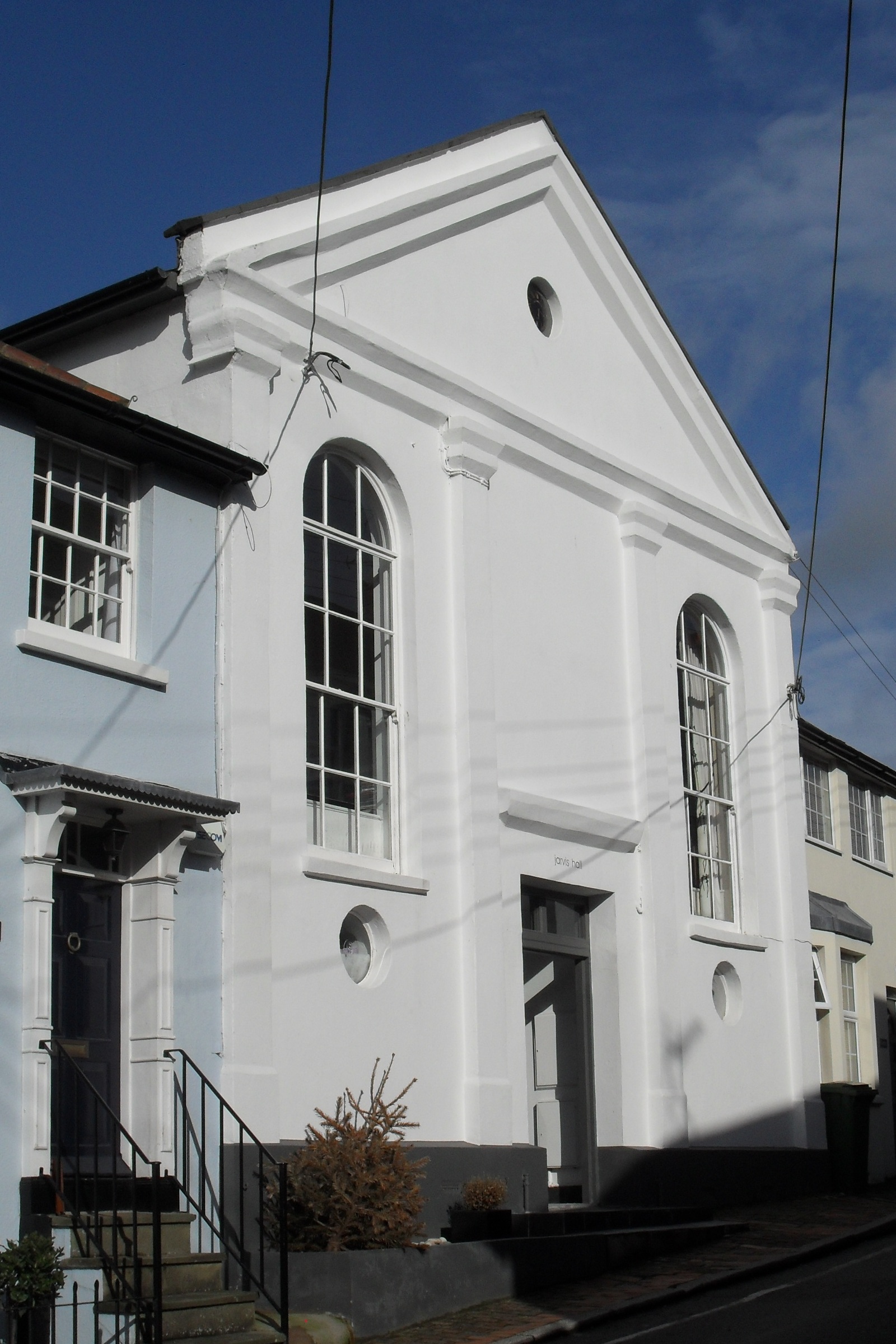
Jarvis Hall, Steyning

Jarvis Hall is a former Nonconformist chapel in the village of Steyning, in the Horsham district of the English county of West Sussex. Since its construction...

Old Town Hall, Steyning

The Old Town Hall is a municipal building in The High Street in Steyning, West Sussex, England. The building, which was used as a courthouse and a public...

Nearby Amenities

Located within 500m of 50.867543,-0.33949347
The data included in this document is from www.openstreetmap.org. The data is made available under ODbL.

Have you been to Annington Hill?

Leave your review of Annington Hill below (or comments, questions and feedback).