Beggars Bush

Settlement in Sussex Adur

England

Beggars Bush

Titch Hill (road) A route over the downs from Sompting to Steyning.
Titch Hill (road) Credit: Robin Webster

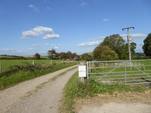
Beggars Bush is a small hamlet located in the county of Sussex, England. Situated near the village of Newick, it is nestled within the picturesque countryside of the South Downs National Park. The origins of the name "Beggars Bush" are uncertain, with various theories suggesting it could be derived from a historical meeting place for beggars or a reference to a type of tree that once grew in the area.

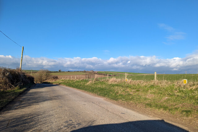
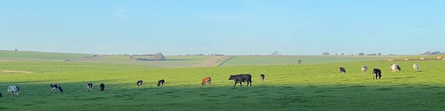
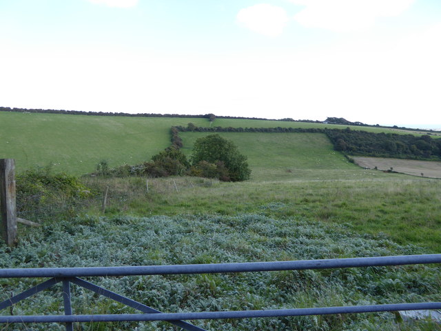
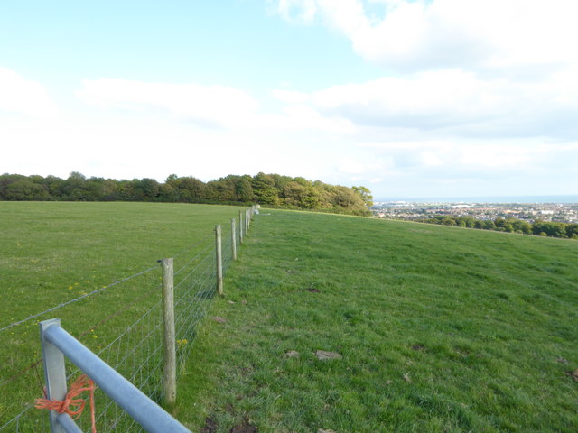
The hamlet itself consists of a cluster of traditional cottages and a few modern houses, giving it a charming and quaint feel. Surrounded by rolling hills and verdant farmland, Beggars Bush offers a tranquil and idyllic setting for residents and visitors alike.

Despite its small size, Beggars Bush is conveniently located near several larger towns and cities. The historic town of Lewes, with its medieval architecture and famous castle, is just a short drive away. Similarly, the vibrant city of Brighton, renowned for its eclectic arts scene and pebble beach, is within easy reach.

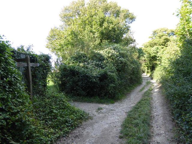
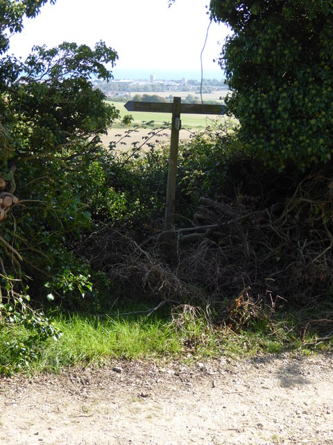
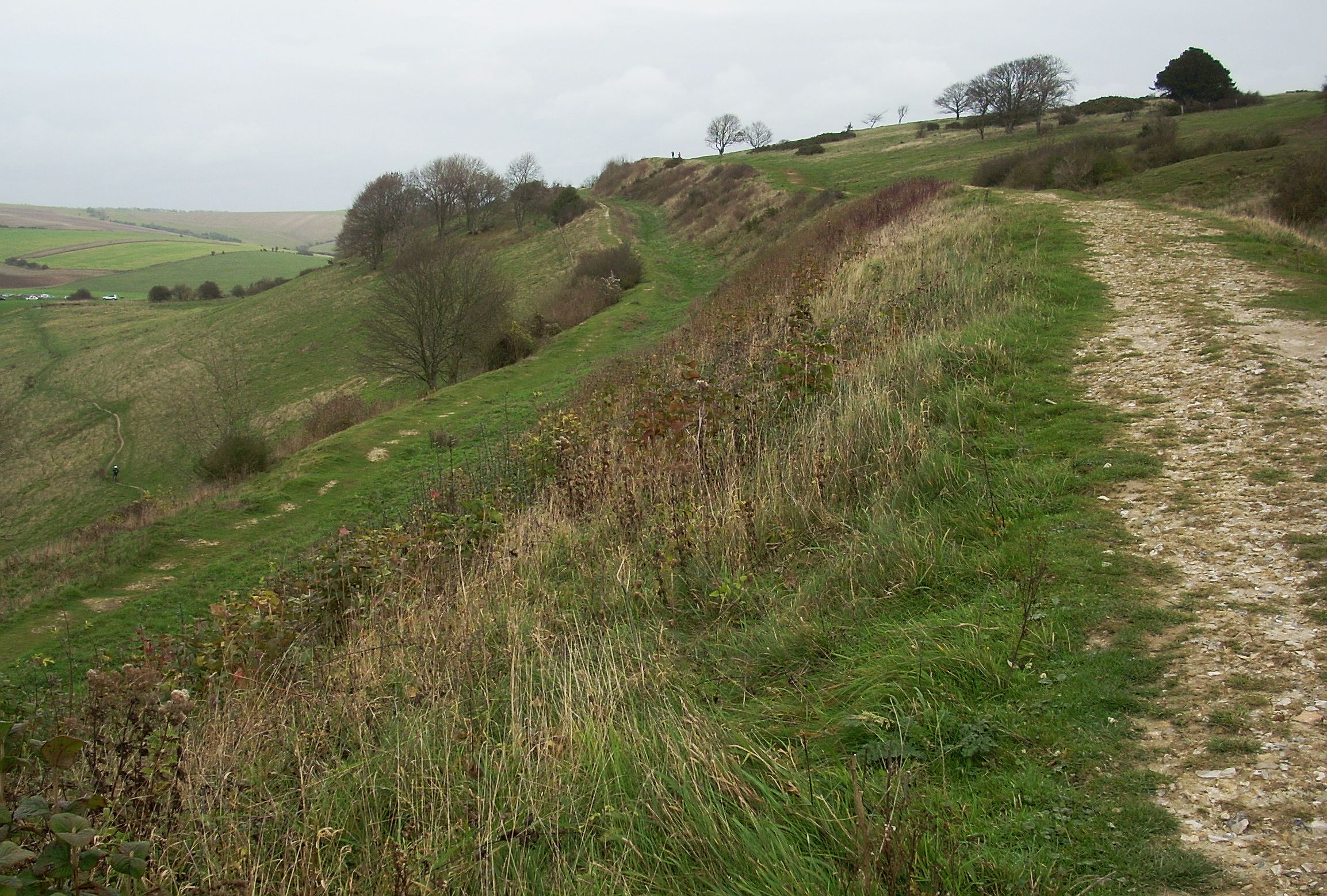
The surrounding countryside provides ample opportunities for outdoor activities, such as hiking, cycling, and horseback riding. The South Downs Way, a long-distance footpath that stretches across the South Downs, passes near Beggars Bush, making it an ideal destination for keen walkers.

Overall, Beggars Bush offers a peaceful retreat from the hustle and bustle of city life, with its charming cottages, stunning countryside, and close proximity to larger towns and cities.

If you have any feedback on the listing, please let us know in the comments section below.
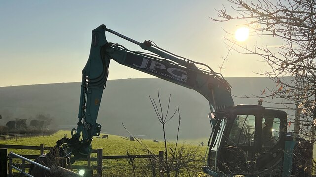
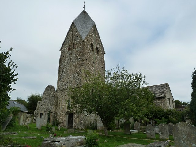
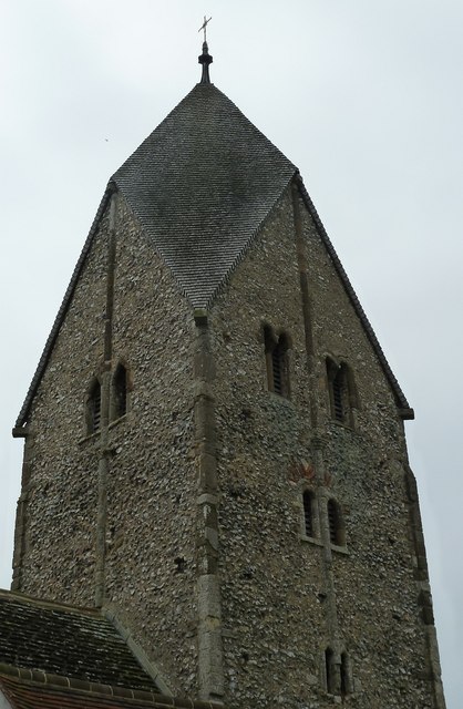
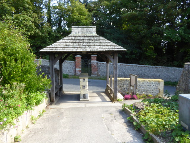
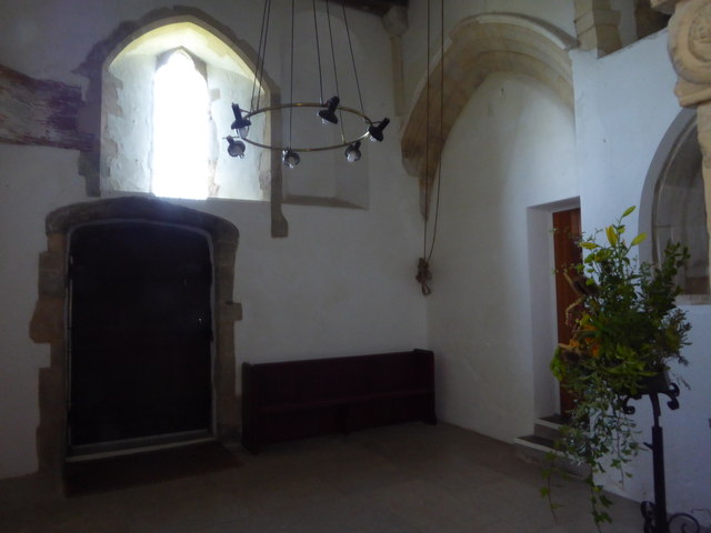
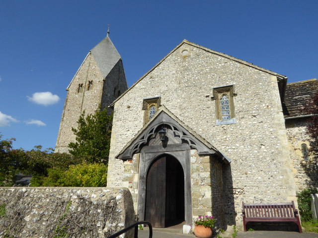
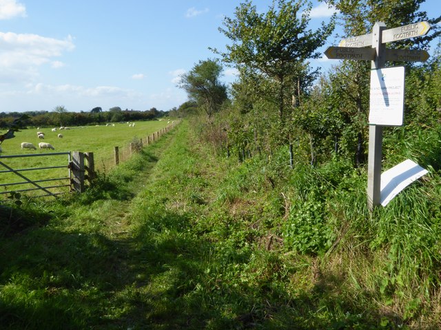
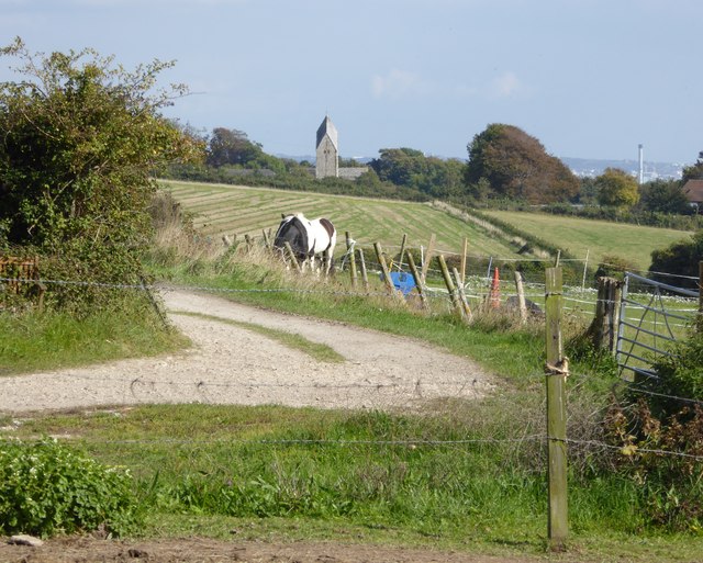
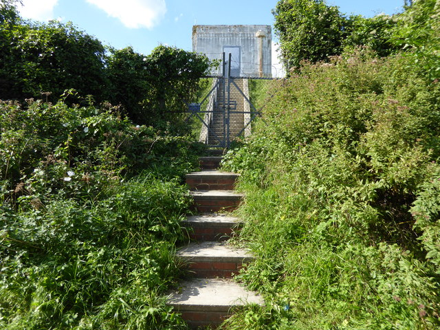
Beggars Bush Images

Images are sourced within 2km of 50.853201/-0.351966 or Grid Reference TQ1607. Thanks to Geograph Open Source API. All images are credited.

Titch Hill (road) A route over the downs from Sompting to Steyning.
Titch Hill (road)
A route over the downs from Sompting to Steyning.
Sompting church St. Mary's is a grade I listed building, 11th and 12th centuries. The 'Rhenish helm' style of the 11th century tower is unique in England.
Sompting church
St. Mary's is a grade I listed building, 11th and 12th centuries. The 'Rhenish helm' style of the 11th century tower is unique in England.
Graveyard, Sompting One of several extensions to the original churchyard.
Graveyard, Sompting
One of several extensions to the original churchyard.
Cattle in Canada Bottom - view to the NW This is a cross-grid shot. The camera was in the square to the east.
Cattle in Canada Bottom - view to the NW
This is a cross-grid shot. The camera was in the square to the east.
Mechanical digger - north of Lychpole Farm
Sompting - Church of St Mary It is quite difficult to find a spot to take a photograph of the whole church without it being blocked by trees or gravestones. This photo from a corner of the churchyard afforded about the best overall view I could manage.
The highly unusual Saxon tower which features a Rhenish helm is apparently unique in Britain - see <a href="https://www.geograph.org.uk/photo/4674458">TQ1605 : Sompting - St Mary's - Rhenish Helm</a> for a closer view of this.
See also the shared description below:
Sompting - Church of St Mary
It is quite difficult to find a spot to take a photograph of the whole church without it being blocked by trees or gravestones. This photo from a corner of the churchyard afforded about the best overall view I could manage. The highly unusual Saxon tower which features a Rhenish helm is apparently unique in Britain - see TQ1605 : Sompting - St Mary's - Rhenish Helm for a closer view of this. See also the shared description below:
Sompting - St Mary's - Rhenish Helm A close view of the Rhenish Helm atop the C11th Saxon tower of St Mary's in Sompting. This unusual shingled cap is a unique feature for an English church.
See shared description below.
Sompting - St Mary's - Rhenish Helm
A close view of the Rhenish Helm atop the C11th Saxon tower of St Mary's in Sompting. This unusual shingled cap is a unique feature for an English church. See shared description below.
Exit through lychgate at Sompting church
Below the tower at Sompting church
Southern elevation of Sompting church This is a Grade 1 listed building.
Southern elevation of Sompting church
This is a Grade 1 listed building.
Footpath goes west from Sompting
View east from Charmandean Lane to Sompting church The other landmark, which is on the right of the picture, is the chimney at disused Shoreham cement works.
View east from Charmandean Lane to Sompting church
The other landmark, which is on the right of the picture, is the chimney at disused Shoreham cement works.
Looking north on Charmandean Lane The footpath signed on the left is on the edge of Hill Barn Golf Club.  It has not yet made its way onto OS mapping.
Looking north on Charmandean Lane
The footpath signed on the left is on the edge of Hill Barn Golf Club. It has not yet made its way onto OS mapping.
Steps to building on reservoir
Sign at footpath junction on Charmandean Lane This footpath has not yet made it onto OS mapping - see also <a href="https://www.geograph.org.uk/photo/4675953">TQ1405 : Looking north on Charmandean Lane</a>.
Sign at footpath junction on Charmandean Lane
This footpath has not yet made it onto OS mapping - see also TQ1405 : Looking north on Charmandean Lane.
Looking east across downland valley
Bridleway going northwards from Lambleys Barn
Looking east along field boundary to woodland The woodland is mapped as "The Mountain".
Looking east along field boundary to woodland
The woodland is mapped as "The Mountain".
Show me another place!

Beggars Bush is located at Grid Ref: TQ1607 (Lat: 50.853201, Lng: -0.351966)

Administrative County: West Sussex

District: Adur

Police Authority: Sussex

What 3 Words

///option.pitch.nature. Near Broadwater, West Sussex

Related Wikis

Sompting & North Lancing (electoral division)

Sompting & North Lancing is an electoral division of West Sussex in the United Kingdom, and returns one member to sit on the West Sussex County Council...

Sompting Abbotts Preparatory School

Sompting Abbotts Preparatory School is a historic West Sussex independent school in Sompting, near Worthing and Steyning. It educates children of both...

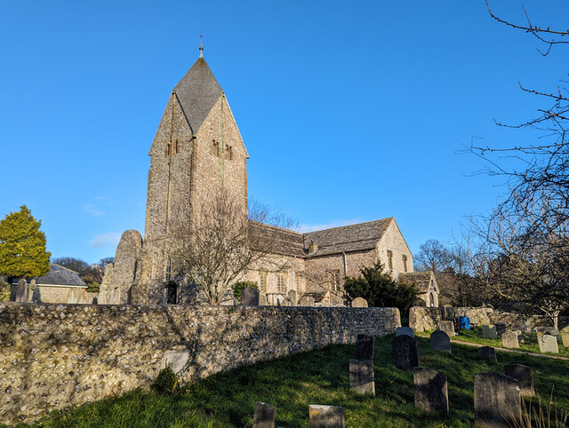
Church of St Mary the Blessed Virgin, Sompting

The Church of St Mary the Blessed Virgin, also known as St Mary the Virgin Church and St Mary's Church, is the Church of England parish church of Sompting...

Cissbury Ring

Cissbury Ring is an 84.2-hectare (208-acre) biological Site of Special Scientific Interest north of Worthing in West Sussex. It is owned by the National...

Nearby Amenities

Located within 500m of 50.853201,-0.351966
Beggars Bush
Lat/Long: 50.8532091/-0.3530065
Power: tower
Source: Bing
Lat/Long: 50.8548348/-0.3454849
Power: tower
Source: Bing
Lat/Long: 50.8527356/-0.3452447
The data included in this document is from www.openstreetmap.org. The data is made available under ODbL.

Have you been to Beggars Bush?

Leave your review of Beggars Bush below (or comments, questions and feedback).