Beggars Ash
Settlement in Herefordshire
England
Beggars Ash

Beggars Ash is a small village located in the county of Herefordshire, England. Situated in the stunning countryside, it is nestled between the cities of Hereford and Worcester. The village is known for its picturesque landscapes, tranquil atmosphere, and charming rural character.
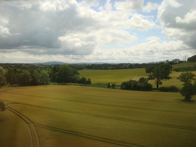
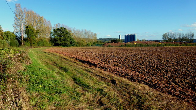
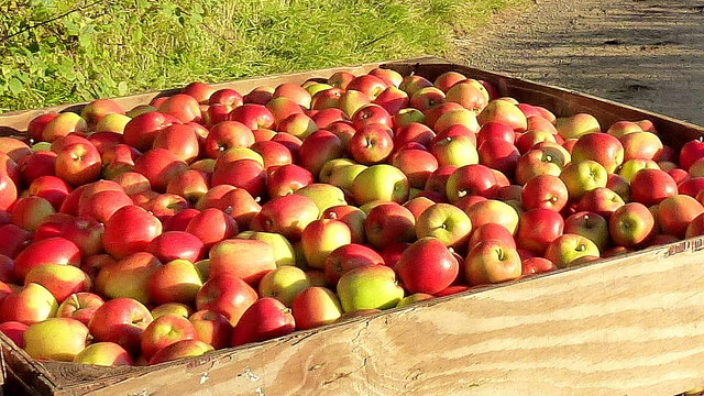
Surrounded by rolling green hills and meandering rivers, Beggars Ash offers breathtaking views that attract both locals and tourists. The area is well-known for its thriving agriculture, with lush fields and orchards dominating the landscape. The village is particularly renowned for its apple and cider production, contributing to Herefordshire's status as one of the top cider regions in the United Kingdom.
Beggars Ash itself is a quaint and tight-knit community, with a small population of friendly residents. The village is home to a handful of historic buildings, including a beautiful 12th-century church that adds to its charm. Although it lacks extensive amenities, Beggars Ash is within close proximity to nearby towns and cities, providing residents with easy access to shops, schools, and other essential services.
Residents and visitors alike can enjoy the tranquility and natural beauty of the area by exploring the numerous walking and cycling trails that crisscross the countryside. The village also benefits from its close proximity to the Malvern Hills, an Area of Outstanding Natural Beauty, offering opportunities for outdoor activities such as hiking and wildlife spotting.
Overall, Beggars Ash is a hidden gem in Herefordshire, offering a peaceful retreat in the heart of the English countryside.
If you have any feedback on the listing, please let us know in the comments section below.
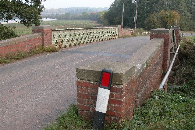
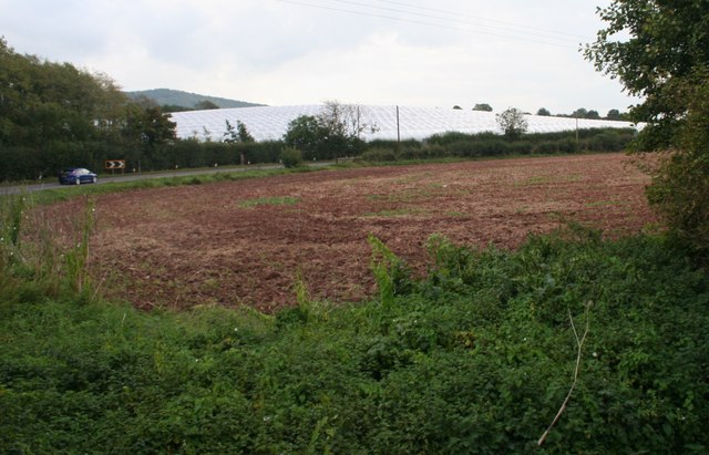
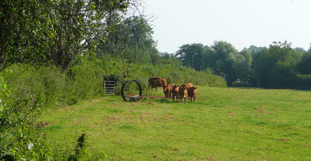
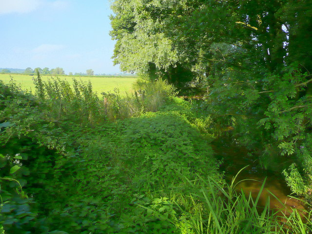
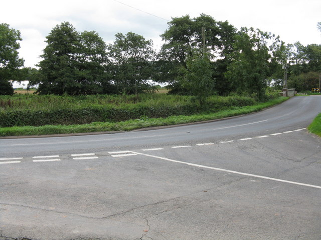
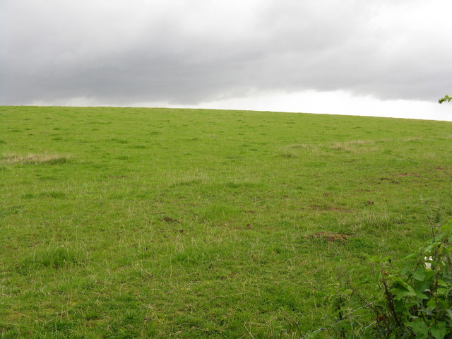
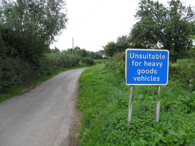
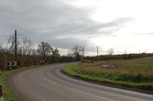
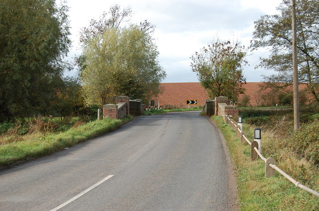
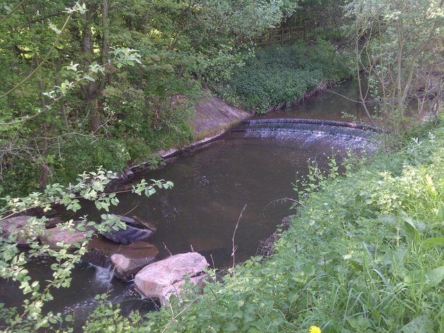
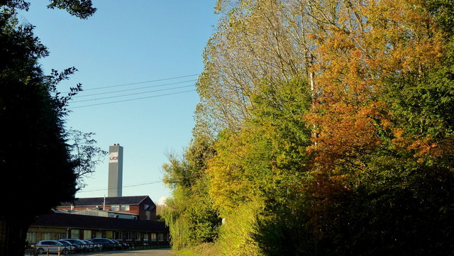
Beggars Ash Images
Images are sourced within 2km of 52.048572/-2.4388699 or Grid Reference SO7039. Thanks to Geograph Open Source API. All images are credited.


Beggars Ash is located at Grid Ref: SO7039 (Lat: 52.048572, Lng: -2.4388699)
Unitary Authority: County of Herefordshire
Police Authority: West Mercia
What 3 Words
///diggers.dislodge.quack. Near Ledbury, Herefordshire
Nearby Locations
Related Wikis

Herefordshire and Gloucestershire Canal
The Herefordshire and Gloucestershire Canal (sometimes known as the Hereford and Gloucester Canal) is a canal in the west of England, which ran from Hereford...

Hereford Road Skew Bridge
Hereford Road Skew Bridge is a disused railway bridge in Ledbury, Herefordshire. Built in 1881 to carry the Ledbury and Gloucester Railway across the Hereford...

Ledbury Signal Box
Ledbury Signal Box is a typical Great Western Railway traditional lever frame signal box which remains in daily use at Ledbury Station, Herefordshire,...
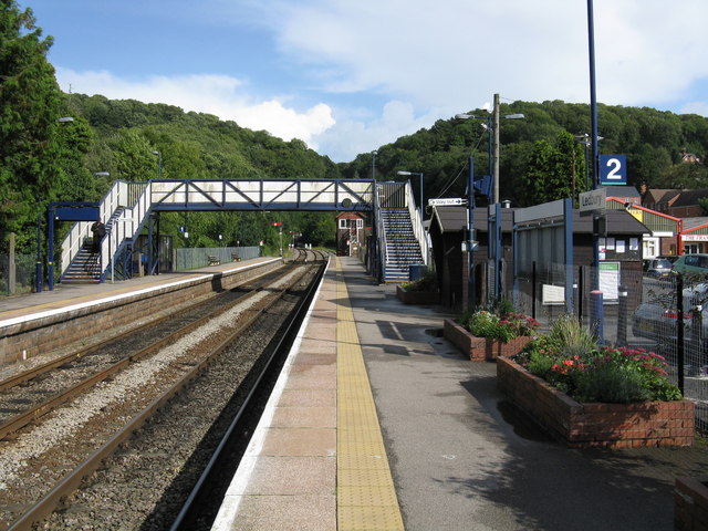
Ledbury railway station
Ledbury railway station is located on the outskirts of the town of Ledbury, on the Worcester to Hereford line in the English Midlands. It has regular services...

Ledbury Tunnel
Ledbury Tunnel is a single-track railway tunnel immediately to the east of Ledbury railway station on the Cotswold Line, in Herefordshire, England. The...

Ledbury Town Halt railway station
Ledbury Town Halt was one of two stations serving the town of Ledbury. It was situated at the junction of Bridge Street and Bye Street, just to the north...

Wellington Heath
Wellington Heath is a small village and civil parish in Herefordshire, England, approximately 1.5 miles (2.4 km) north of Ledbury. The population was recorded...

Ledbury Market Hall
Ledbury Market Hall, also known as Ledbury Town Hall, is a municipal building in the High Street in Ledbury, Herefordshire, England. The structure, which...
Nearby Amenities
Located within 500m of 52.048572,-2.4388699Have you been to Beggars Ash?
Leave your review of Beggars Ash below (or comments, questions and feedback).