Sompting

Civil Parish in Sussex Adur

England

Sompting

Cattle in Canada Bottom - view to the NW This is a cross-grid shot. The camera was in the square to the east.
Cattle in Canada Bottom - view to the NW Credit: Ian Cunliffe

Sompting is a civil parish located in the county of Sussex, in the southeastern region of England. It is situated between the towns of Worthing and Lancing, and is part of the local government district of Adur.

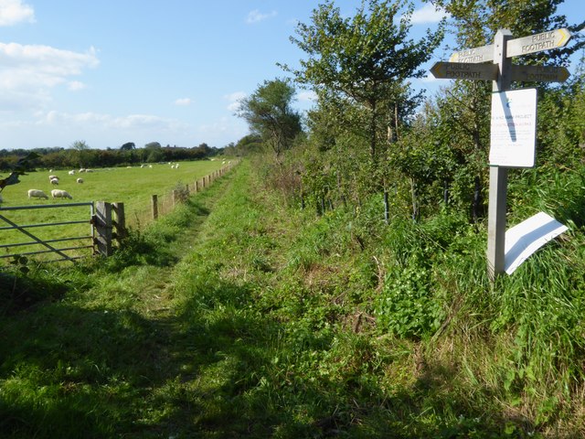
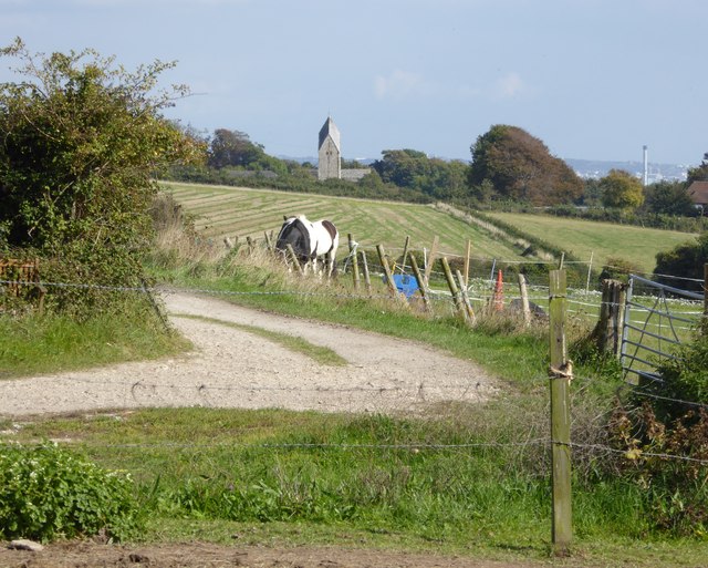
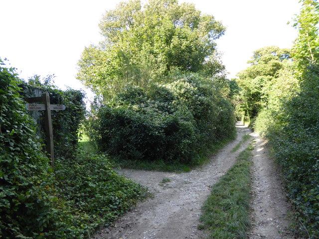
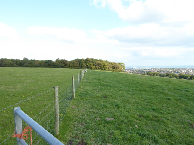
Covering an area of approximately 5.8 square miles, Sompting is primarily a residential area with a population of around 10,000 people. The parish is surrounded by beautiful countryside, providing residents with ample opportunities for leisurely walks and outdoor activities.

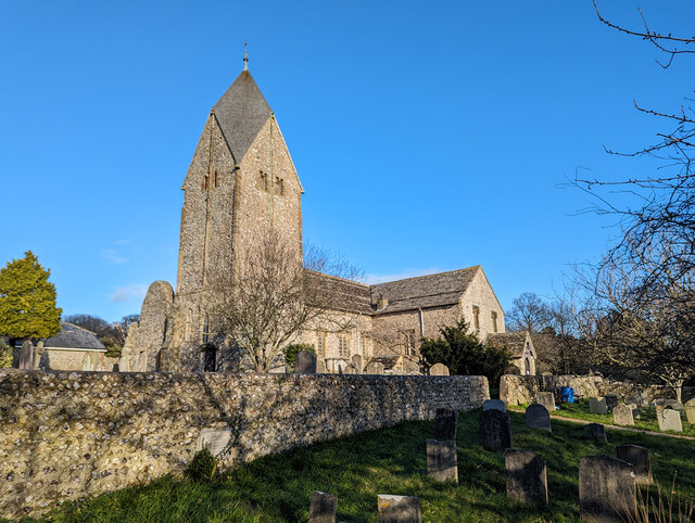
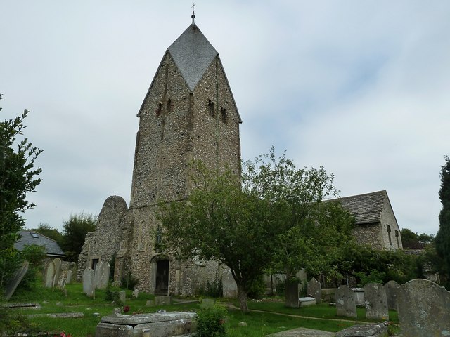
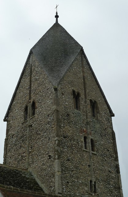
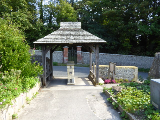
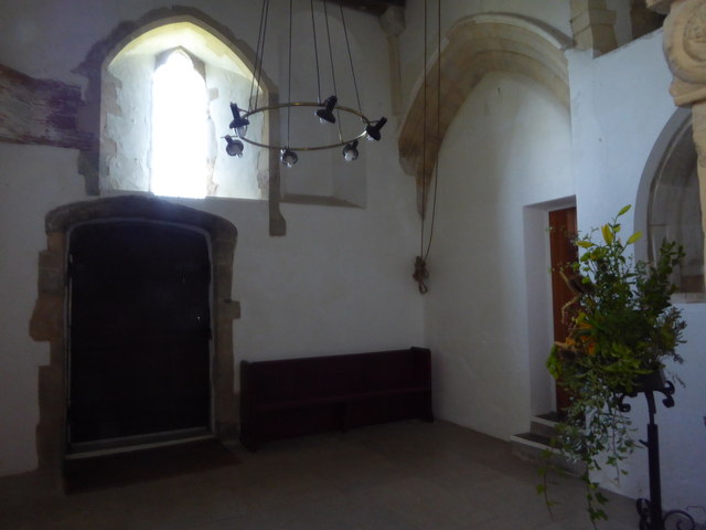
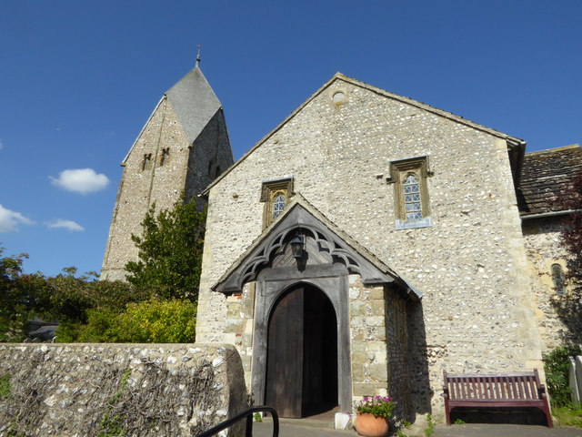
The village of Sompting has a rich history dating back to the Roman times, with evidence of Roman settlements and artifacts discovered in the area. The St. Mary's Church, a Grade I listed building, stands as a testament to the village's historical significance.

In terms of amenities, Sompting offers a range of facilities and services to cater to the needs of its residents. These include a local primary school, community center, library, and a few local shops and businesses. The nearby town of Worthing provides additional amenities, including shopping centers, entertainment venues, and healthcare facilities.

Transportation in Sompting is easily accessible, with good road connections to neighboring towns and cities. The A27 road, which runs through the parish, provides convenient access to Brighton, Chichester, and other major cities in the region. There are also regular bus services connecting Sompting to nearby towns.

Overall, Sompting is a picturesque and peaceful civil parish, offering a close-knit community and easy access to both rural and urban amenities.

If you have any feedback on the listing, please let us know in the comments section below.
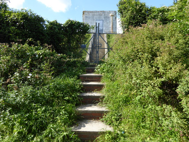
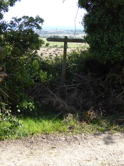
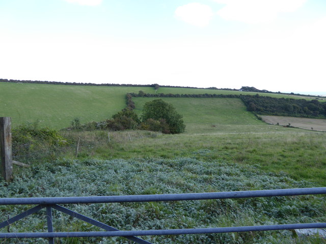
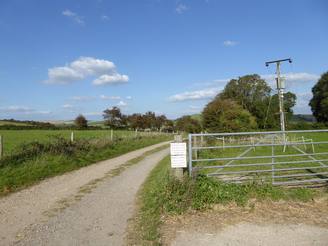
Sompting Images

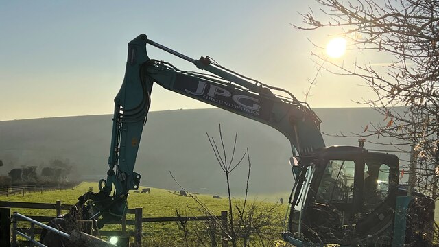
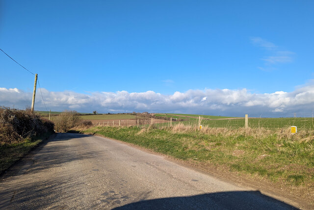
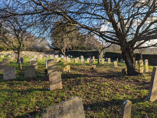
Images are sourced within 2km of 50.853394/-0.351646 or Grid Reference TQ1607. Thanks to Geograph Open Source API. All images are credited.

Cattle in Canada Bottom - view to the NW This is a cross-grid shot. The camera was in the square to the east.
Cattle in Canada Bottom - view to the NW
This is a cross-grid shot. The camera was in the square to the east.
Mechanical digger - north of Lychpole Farm
Titch Hill (road) A route over the downs from Sompting to Steyning.
Titch Hill (road)
A route over the downs from Sompting to Steyning.
Sompting church St. Mary's is a grade I listed building, 11th and 12th centuries. The 'Rhenish helm' style of the 11th century tower is unique in England.
Sompting church
St. Mary's is a grade I listed building, 11th and 12th centuries. The 'Rhenish helm' style of the 11th century tower is unique in England.
Graveyard, Sompting One of several extensions to the original churchyard.
Graveyard, Sompting
One of several extensions to the original churchyard.
Sompting - Church of St Mary It is quite difficult to find a spot to take a photograph of the whole church without it being blocked by trees or gravestones. This photo from a corner of the churchyard afforded about the best overall view I could manage.
The highly unusual Saxon tower which features a Rhenish helm is apparently unique in Britain - see <a href="https://www.geograph.org.uk/photo/4674458">TQ1605 : Sompting - St Mary's - Rhenish Helm</a> for a closer view of this.
See also the shared description below:
Sompting - Church of St Mary
It is quite difficult to find a spot to take a photograph of the whole church without it being blocked by trees or gravestones. This photo from a corner of the churchyard afforded about the best overall view I could manage. The highly unusual Saxon tower which features a Rhenish helm is apparently unique in Britain - see TQ1605 : Sompting - St Mary's - Rhenish Helm for a closer view of this. See also the shared description below:
Sompting - St Mary's - Rhenish Helm A close view of the Rhenish Helm atop the C11th Saxon tower of St Mary's in Sompting. This unusual shingled cap is a unique feature for an English church.
See shared description below.
Sompting - St Mary's - Rhenish Helm
A close view of the Rhenish Helm atop the C11th Saxon tower of St Mary's in Sompting. This unusual shingled cap is a unique feature for an English church. See shared description below.
Exit through lychgate at Sompting church
Below the tower at Sompting church
Southern elevation of Sompting church This is a Grade 1 listed building.
Southern elevation of Sompting church
This is a Grade 1 listed building.
Footpath goes west from Sompting
View east from Charmandean Lane to Sompting church The other landmark, which is on the right of the picture, is the chimney at disused Shoreham cement works.
View east from Charmandean Lane to Sompting church
The other landmark, which is on the right of the picture, is the chimney at disused Shoreham cement works.
Looking north on Charmandean Lane The footpath signed on the left is on the edge of Hill Barn Golf Club.  It has not yet made its way onto OS mapping.
Looking north on Charmandean Lane
The footpath signed on the left is on the edge of Hill Barn Golf Club. It has not yet made its way onto OS mapping.
Steps to building on reservoir
Sign at footpath junction on Charmandean Lane This footpath has not yet made it onto OS mapping - see also <a href="https://www.geograph.org.uk/photo/4675953">TQ1405 : Looking north on Charmandean Lane</a>.
Sign at footpath junction on Charmandean Lane
This footpath has not yet made it onto OS mapping - see also TQ1405 : Looking north on Charmandean Lane.
Looking east across downland valley
Bridleway going northwards from Lambleys Barn
Looking east along field boundary to woodland The woodland is mapped as "The Mountain".
Looking east along field boundary to woodland
The woodland is mapped as "The Mountain".
Show me another place!

Sompting is located at Grid Ref: TQ1607 (Lat: 50.853394, Lng: -0.351646)

Administrative County: West Sussex

District: Adur

Police Authority: Sussex

What 3 Words

///spoon.sting.ocean. Near Broadwater, West Sussex

Related Wikis

Sompting & North Lancing (electoral division)

Sompting & North Lancing is an electoral division of West Sussex in the United Kingdom, and returns one member to sit on the West Sussex County Council...

Sompting Abbotts Preparatory School

Sompting Abbotts Preparatory School is a historic West Sussex independent school in Sompting, near Worthing and Steyning. It educates children of both...

Church of St Mary the Blessed Virgin, Sompting

The Church of St Mary the Blessed Virgin, also known as St Mary the Virgin Church and St Mary's Church, is the Church of England parish church of Sompting...
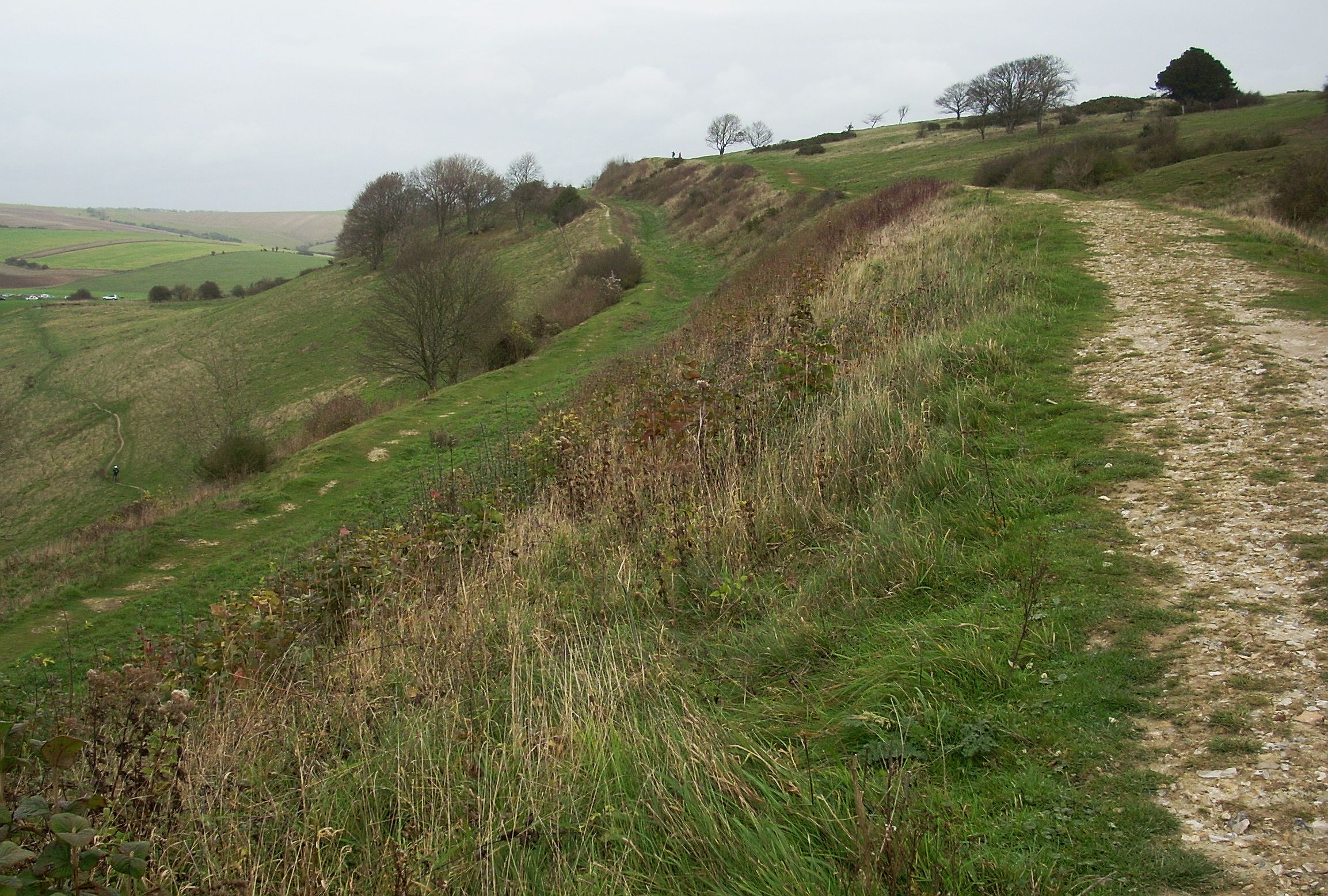
Cissbury Ring

Cissbury Ring is an 84.2-hectare (208-acre) biological Site of Special Scientific Interest north of Worthing in West Sussex. It is owned by the National...

Nearby Amenities

Located within 500m of 50.853394,-0.351646
Beggars Bush
Lat/Long: 50.8532091/-0.3530065
Power: tower
Source: Bing
Lat/Long: 50.8548348/-0.3454849
Power: tower
Source: Bing
Lat/Long: 50.8527356/-0.3452447
The data included in this document is from www.openstreetmap.org. The data is made available under ODbL.

Have you been to Sompting?

Leave your review of Sompting below (or comments, questions and feedback).