Bury Hill
Hill, Mountain in Surrey Mole Valley
England
Bury Hill
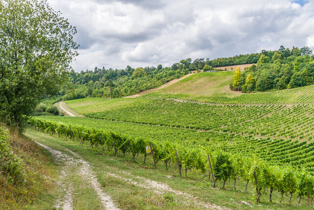
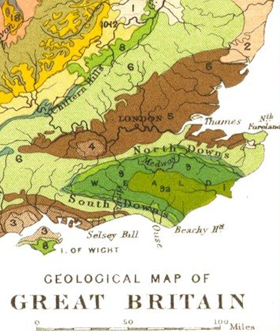
Bury Hill is a prominent hill located in Surrey, England. Situated within the Surrey Hills Area of Outstanding Natural Beauty, it stands at an elevation of approximately 170 meters (560 feet) above sea level. The hill is part of the North Downs range, which stretches across the southeastern part of England.
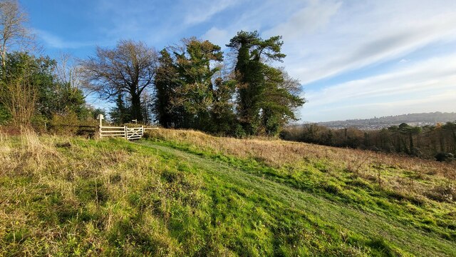
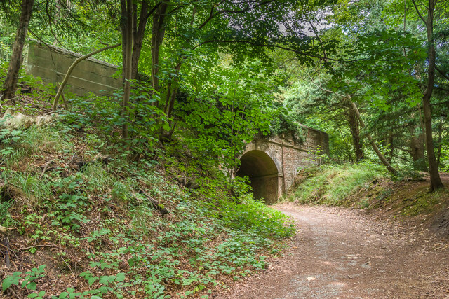
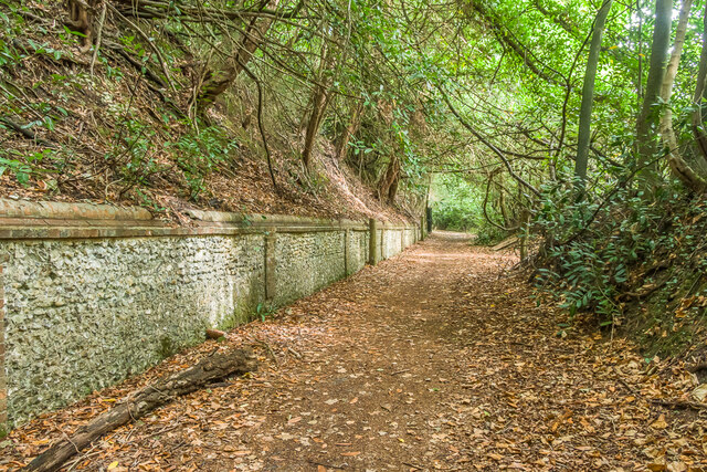
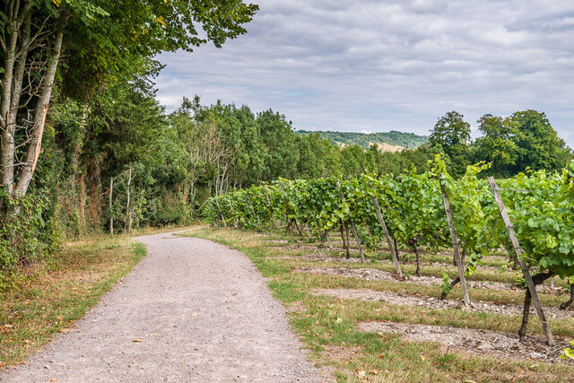
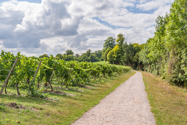
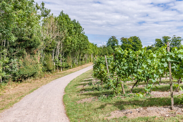
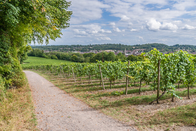
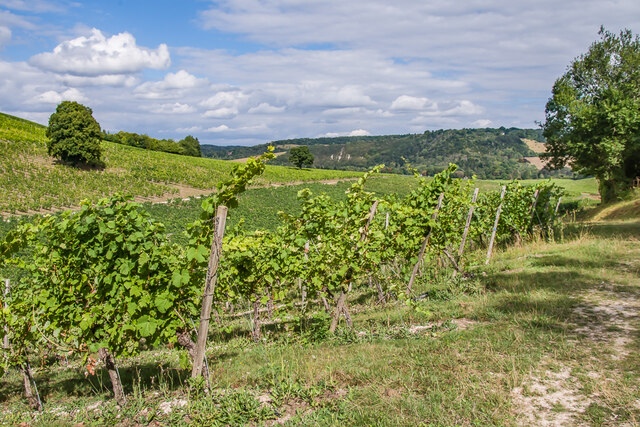
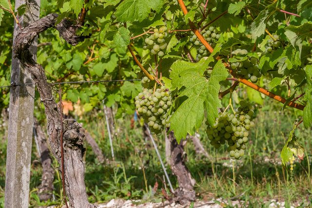
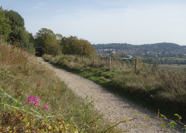
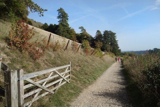
Bury Hill offers breathtaking panoramic views of the surrounding countryside. On a clear day, visitors can enjoy vistas extending as far as the South Downs and the London skyline. The hill is covered in lush greenery, with a mix of woodland and open grassland, providing a diverse habitat for local flora and fauna.
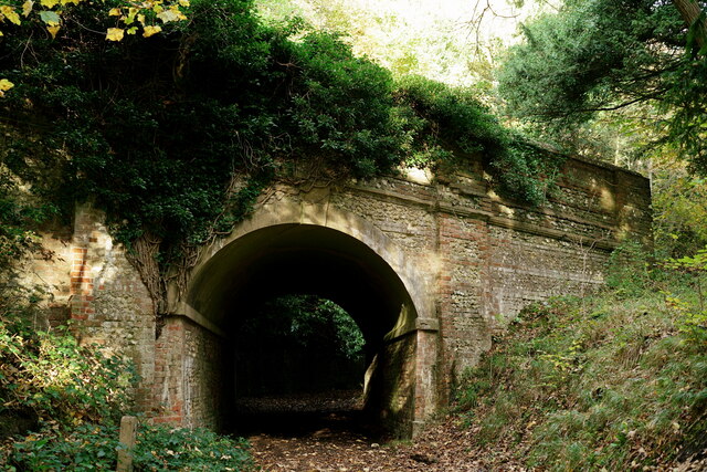
The area surrounding Bury Hill is rich in history and archaeological significance. It is home to several Bronze Age burial mounds, which date back thousands of years. These ancient burial sites add to the hill's allure and make it a popular spot for history enthusiasts and walkers alike.
The hill is easily accessible, with footpaths and trails leading up to its summit from nearby villages. It is a favorite destination for hikers, dog walkers, and nature lovers, offering a peaceful and tranquil retreat from the bustling city life. Bury Hill provides ample opportunities for outdoor activities such as picnicking, birdwatching, and photography.
Overall, Bury Hill in Surrey is a picturesque and historically significant hill that offers stunning views and a chance to immerse oneself in nature. Its accessibility and natural beauty make it a much-loved destination for locals and visitors seeking a peaceful escape.
If you have any feedback on the listing, please let us know in the comments section below.
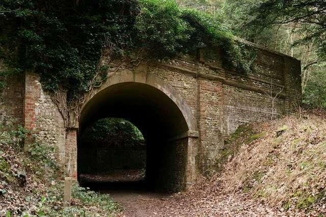
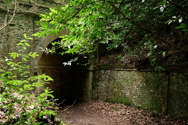
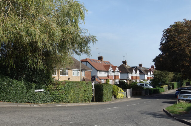
Bury Hill Images
Images are sourced within 2km of 51.223388/-0.34672724 or Grid Reference TQ1548. Thanks to Geograph Open Source API. All images are credited.
Bury Hill is located at Grid Ref: TQ1548 (Lat: 51.223388, Lng: -0.34672724)
Administrative County: Surrey
District: Mole Valley
Police Authority: Surrey
What 3 Words
///limp.fried.slide. Near Dorking, Surrey
Nearby Locations
Related Wikis

The Priory School, Dorking
The Priory (C of E Aided) School, Dorking is a voluntary-aided Church of England school for pupils aged 11–16, in Dorking, Surrey. The school opened 1996...

St Joseph's Church, Dorking
St Joseph's Church is a Roman Catholic Church in Dorking, Surrey. It was founded in 1872 with help from the Duke of Norfolk. It is situated in Falkland...
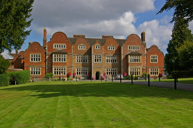
Milton Court
Milton Court, at the far west of the town of Dorking, is a 17th-century country house in Surrey. The court was expanded and substantially rebuilt by the...

Westcott, Surrey
Westcott is a village in central Surrey, England, about 1.5 miles (2.5 km) west of the centre of Dorking. It is in the Mole Valley district and the Surrey...

Dorking Caves
The Dorking Caves are a network of manmade tunnels excavated in the soft sandstone of the Upper Greensand deposits beneath Dorking in Surrey, England....
Vale of Holmesdale
Holmesdale, also known as the Vale of Holmesdale, is a valley in South-East England that falls between the hill ranges of the North Downs and the Greensand...
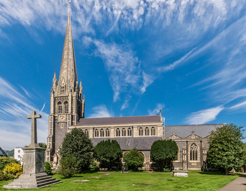
St Martin's Church, Dorking
St Martin's Church is an Anglican parish church in Dorking, Surrey. It is a Grade II* listed building and surviving parts of the structure date back to...
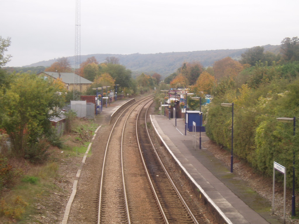
Dorking West railway station
Dorking West railway station is in Dorking, Surrey, England. It is 30 miles 42 chains (30.53 miles, 49.13 km) from London Charing Cross, via Redhill, and...
Nearby Amenities
Located within 500m of 51.223388,-0.34672724Have you been to Bury Hill?
Leave your review of Bury Hill below (or comments, questions and feedback).