Anthony Hill

Hill, Mountain in Yorkshire

England

Anthony Hill

Lambwath Lane
Lambwath Lane Credit: Steven Brown

Anthony Hill is a prominent landmark located in the county of Yorkshire, England. With an elevation of approximately 460 meters (1,509 feet), it is considered one of the highest hills in the region. Situated in the picturesque Yorkshire Dales National Park, Anthony Hill offers breathtaking panoramic views of the surrounding countryside.

The hill itself is composed mainly of limestone, which contributes to the diverse and unique flora and fauna found in the area. This attracts nature enthusiasts and hikers who are eager to explore the scenic trails and experience the tranquil beauty of the Yorkshire landscape.

Anthony Hill is a popular destination for outdoor activities such as hillwalking and rock climbing, thanks to its challenging terrain and striking geological features. Its distinctive rugged slopes and rocky outcrops provide an adventurous experience for those seeking a thrilling climb.

Furthermore, the hill is home to a variety of wildlife, including rare species of birds, mammals, and plants. This makes it an ideal spot for birdwatching and nature photography.

The surrounding area offers several amenities for visitors, including parking facilities and picnic areas, allowing guests to relax and enjoy the stunning views. Additionally, there are nearby villages and towns that provide accommodation options for those wishing to stay in the region.

Anthony Hill continues to be a beloved destination for nature lovers and outdoor enthusiasts, offering an unforgettable experience in the heart of Yorkshire's natural beauty.

If you have any feedback on the listing, please let us know in the comments section below.
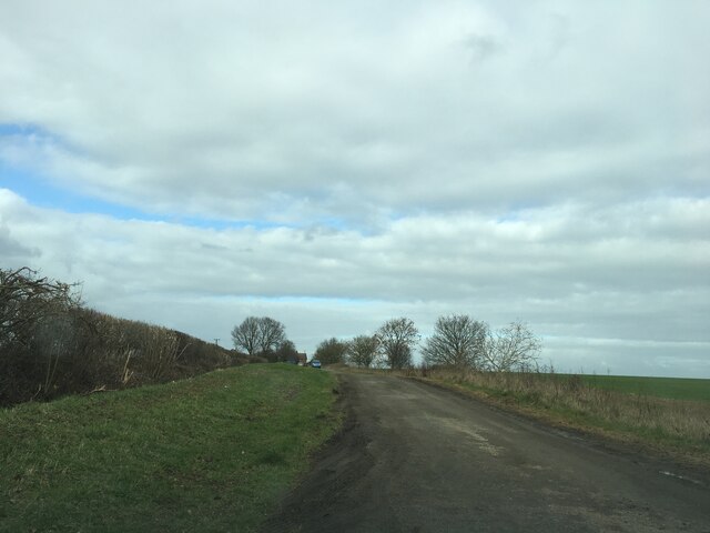
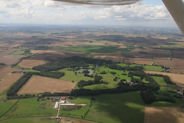
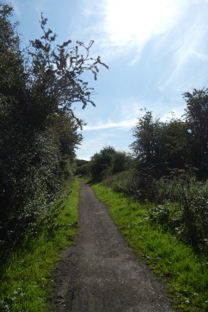
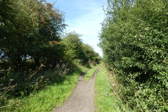
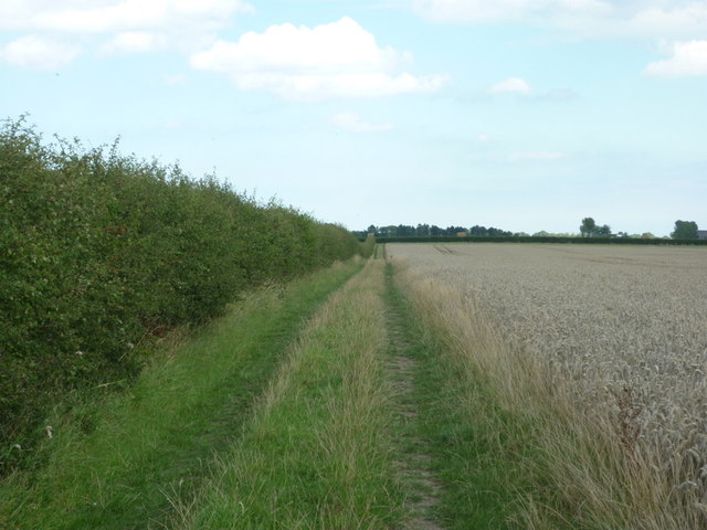
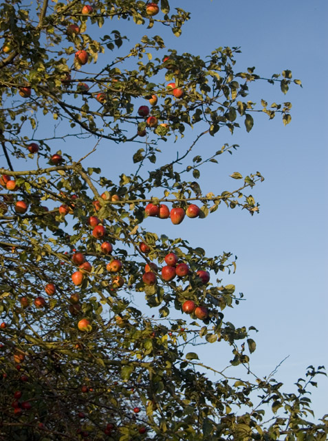
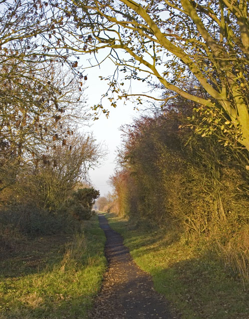
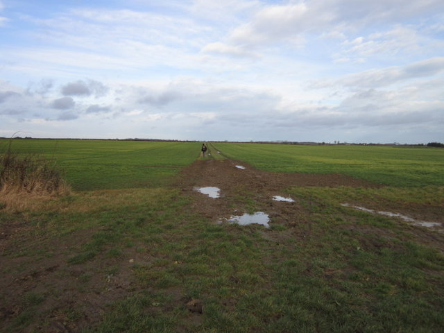
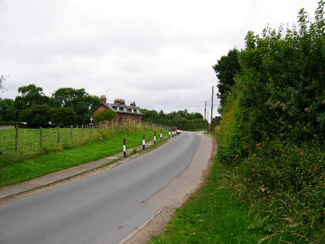
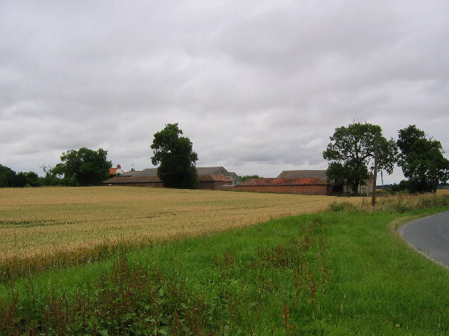
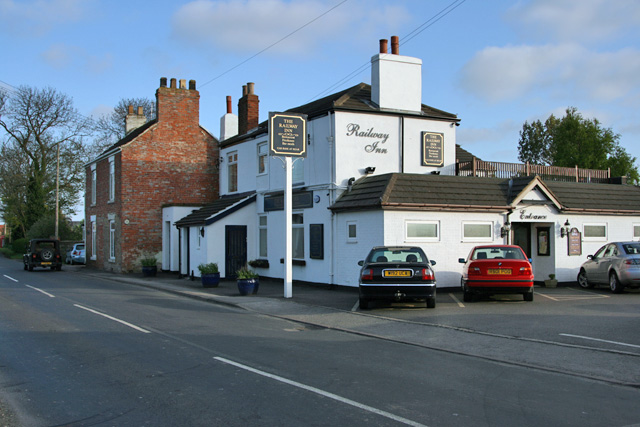
Anthony Hill Images

Images are sourced within 2km of 53.863008/-0.24483807 or Grid Reference TA1542. Thanks to Geograph Open Source API. All images are credited.

Lambwath Lane
Lambwath Lane
Rise Park, NE of Skirlaugh: aerial 2023 (1)
Rise Park, NE of Skirlaugh: aerial 2023 (2)
Farnton Hill, east of Long Riston: aerial 2023 (1)
Farnton Hill, east of Long Riston: aerial 2023 (2)
Rail trail north of Whitedale Station The Hornsea Rail Trail runs along the former Hull to Hornsea Railway Line and forms part of National Cycle Network route 65. The Express to Hornsea 2023 races were taking place along the trail with distances from 5 km to Ultra Marathons being run on this warm and sunny day.
Rail trail north of Whitedale Station
The Hornsea Rail Trail runs along the former Hull to Hornsea Railway Line and forms part of National Cycle Network route 65. The Express to Hornsea 2023 races were taking place along the trail with distances from 5 km to Ultra Marathons being run on this warm and sunny day.
Hornsea Rail trail north of Whitedale Station The Hornsea Rail Trail runs along the former Hull to Hornsea Railway Line and forms part of National Cycle Network route 65. The Express to Hornsea 2023 races were taking place along the trail with distances from 5 km to Ultra Marathons being run on this warm and sunny day.
Hornsea Rail trail north of Whitedale Station
The Hornsea Rail Trail runs along the former Hull to Hornsea Railway Line and forms part of National Cycle Network route 65. The Express to Hornsea 2023 races were taking place along the trail with distances from 5 km to Ultra Marathons being run on this warm and sunny day.
Looking south from Rise Wood
A private farm track heading towards Wood End Farm
A bridleway leading to Folly Lane (track)
Rise, East Yorkshire
A bridleway to Folly Lane
A bridleway leading to Folly Lane (track)
Rose Cottage on Rise Road
Harvesting near West Close Farm
Apple tree by the Hornsea Rail Trail One of several such trees along the former railway line, possibly grown from a core thrown from a train, or possibly not.
Apple tree by the Hornsea Rail Trail
One of several such trees along the former railway line, possibly grown from a core thrown from a train, or possibly not.
Rail trail near Great Hatfield Part of the footpath along the course of the Hull and Hornsea Railway, this being the start of a long straight stretch between Whitedale and Great Hatfield.
Rail trail near Great Hatfield
Part of the footpath along the course of the Hull and Hornsea Railway, this being the start of a long straight stretch between Whitedale and Great Hatfield.
Folly Lane towards, Sigglesthorne
Show me another place!

Anthony Hill is located at Grid Ref: TA1542 (Lat: 53.863008, Lng: -0.24483807)

Division: East Riding

Unitary Authority: East Riding of Yorkshire

Police Authority: Humberside

What 3 Words

///dignify.afford.snap. Near Leven, East Yorkshire

Related Wikis

Rise, East Riding of Yorkshire

Rise is a village and civil parish in Holderness, the East Riding of Yorkshire, England. It is situated approximately 7 miles (11 km) east of the town...

Rise Hall

Rise Hall (formerly Rise Manor, or Rise Park) is a Grade II* listed stately home in Rise, East Riding of Yorkshire, England. == History == Rise is recorded...

Whitedale railway station

Whitedale railway station was a railway station which served the villages of Rise and Withernwick in the East Riding of Yorkshire, England. It was on the...

Little Hatfield

Little Hatfield is a small hamlet in the civil parish of Hatfield, in the East Riding of Yorkshire, England, in an area known as Holderness. It is situated...

Skirlaugh Rural District

Skirlaugh was a rural district in the East Riding of Yorkshire, England from 1894 to 1935.The district formed an area around the Hornsea urban district...

Riston

Riston is a civil parish in the East Riding of Yorkshire, England. It is situated approximately 9 miles (14 km) north of Hull city centre and covering...

Sigglesthorne railway station

Sigglesthorne railway station was a railway station that served the villages of Great Hatfield, Little Hatfield and Sigglesthorne in the East Riding of...

New Ellerby

New Ellerby is a hamlet in the East Riding of Yorkshire, England, in an area known as Holderness. It is situated approximately 8 miles (13 km) north-east...

Nearby Amenities

Located within 500m of 53.863008,-0.24483807
Rise
Is In: East Riding of Yorkshire, England, UK
Is In County: East Riding of Yorkshire
Place: hamlet
Source: npe
Lat/Long: 53.8633487/-0.2458466
Rise B1243
Naptan AtcoCode: 2200YEZ01281
Naptan Bearing: W
Naptan BusStopType: CUS
Naptan CommonName: Rise B1243
Naptan Landmark: East Lodge
Naptan Street: B1243
Naptan Verified: no
Source: naptan_import
Lat/Long: 53.8629898/-0.2465441
Rise B1243
Naptan AtcoCode: 2200YEZ01282
Naptan Bearing: E
Naptan BusStopType: CUS
Naptan CommonName: Rise B1243
Naptan Landmark: The Smithy
Naptan Street: B1243
Naptan Verified: no
Source: naptan_import
Lat/Long: 53.8630909/-0.2460836
The data included in this document is from www.openstreetmap.org. The data is made available under ODbL.

Have you been to Anthony Hill?

Leave your review of Anthony Hill below (or comments, questions and feedback).