Church Walk Plantation
Wood, Forest in Yorkshire
England
Church Walk Plantation

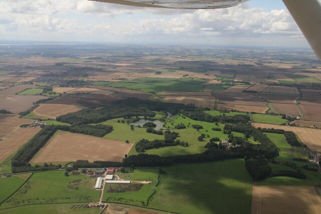
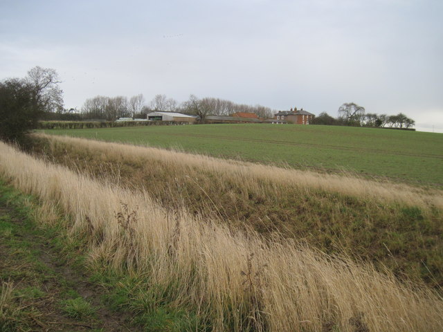
Church Walk Plantation is a picturesque woodland located in Yorkshire, England. Spanning over several acres, this enchanting forest is renowned for its rich biodiversity and serene atmosphere. The plantation is situated near the charming village of Church Walk, adding to its allure and accessibility.
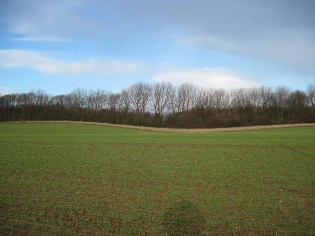
The woodland is predominantly composed of a variety of majestic trees, including oak, beech, and chestnut, which create a dense canopy overhead. These towering trees provide a sanctuary for numerous species of birds and other wildlife, making it a popular spot for nature enthusiasts and birdwatchers.
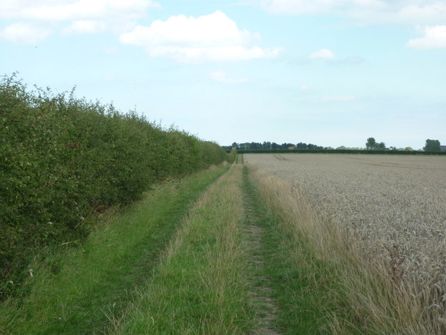
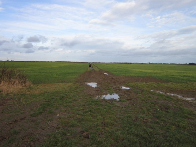
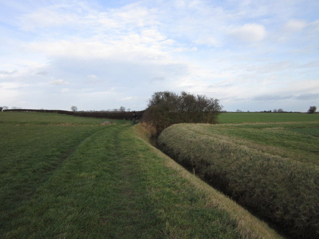
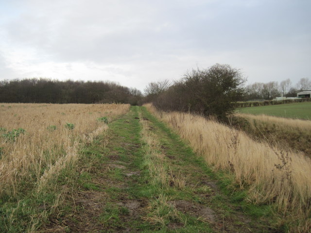
Visitors to Church Walk Plantation can enjoy a leisurely stroll along the well-maintained walking trails that meander through the forest. The paths wind through the lush undergrowth, offering glimpses of vibrant wildflowers and ferns that carpet the forest floor. The serene atmosphere and peaceful surroundings make it an ideal destination for those seeking tranquility and a connection with nature.
The plantation also holds historical significance, with remnants of an old church and graveyard nestled within its boundaries. These remnants serve as a reminder of the area's past and add a touch of mystery to the woodland.
Church Walk Plantation is a haven for outdoor enthusiasts, providing opportunities for walking, picnicking, and exploring. It offers a respite from the hustle and bustle of modern life, allowing visitors to immerse themselves in the beauty of nature. Whether it's experiencing the vibrant colors of autumn or the fresh greenery of spring, Church Walk Plantation is a must-visit destination for anyone seeking solace in the embrace of nature.
If you have any feedback on the listing, please let us know in the comments section below.
Church Walk Plantation Images
Images are sourced within 2km of 53.861644/-0.25175352 or Grid Reference TA1542. Thanks to Geograph Open Source API. All images are credited.


Church Walk Plantation is located at Grid Ref: TA1542 (Lat: 53.861644, Lng: -0.25175352)
Division: East Riding
Unitary Authority: East Riding of Yorkshire
Police Authority: Humberside
What 3 Words
///flashback.sunblock.slams. Near Leven, East Yorkshire
Nearby Locations
Related Wikis
Rise, East Riding of Yorkshire
Rise is a village and civil parish in Holderness, the East Riding of Yorkshire, England. It is situated approximately 7 miles (11 km) east of the town...

Rise Hall
Rise Hall (formerly Rise Manor, or Rise Park) is a Grade II* listed stately home in Rise, East Riding of Yorkshire, England. == History == Rise is recorded...

Riston
Riston is a civil parish in the East Riding of Yorkshire, England. It is situated approximately 9 miles (14 km) north of Hull city centre and covering...

Whitedale railway station
Whitedale railway station was a railway station which served the villages of Rise and Withernwick in the East Riding of Yorkshire, England. It was on the...
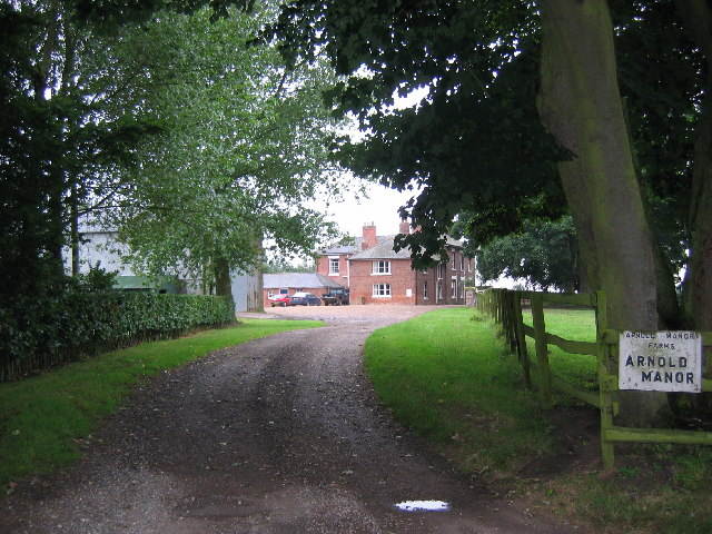
Arnold, East Riding of Yorkshire
Arnold is a hamlet in the East Riding of Yorkshire, England in an area known as Holderness. It is situated approximately 9 miles (14 km) north of Hull...

Skirlaugh
Skirlaugh is a village and civil parish in the East Riding of Yorkshire, England, in an area known as Holderness. It is situated approximately 7 miles...
Long Riston
Long Riston is a village in the civil parish of Riston, in the East Riding of Yorkshire, England, in an area known as Holderness. It is situated approximately...
Little Hatfield
Little Hatfield is a small hamlet in the civil parish of Hatfield, in the East Riding of Yorkshire, England, in an area known as Holderness. It is situated...
Nearby Amenities
Located within 500m of 53.861644,-0.25175352Have you been to Church Walk Plantation?
Leave your review of Church Walk Plantation below (or comments, questions and feedback).