Morborne Thorns

Wood, Forest in Huntingdonshire Huntingdonshire

England

Morborne Thorns

The Fox, Folksworth The village pub, noted for its cuisine.
The Fox, Folksworth Credit: Michael Trolove

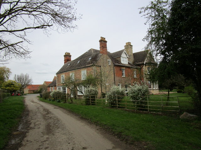
Morborne Thorns is a small village located in the district of Huntingdonshire, in the county of Cambridgeshire, England. Situated amidst the scenic landscape, Morborne Thorns is known for its dense wood and forest area, which covers a significant portion of the village.

The woodlands in Morborne Thorns are home to a diverse range of flora and fauna, making it an ideal destination for nature enthusiasts and wildlife lovers. The trees that dominate the forest include oak, beech, and ash, providing a picturesque setting throughout the year. The forest floor is adorned with a carpet of wildflowers, adding to the natural beauty of the area.

The woodlands also offer ample opportunities for outdoor activities, including walking, hiking, and cycling. There are several well-marked trails that lead visitors through the enchanting forest, allowing them to explore the area at their own pace. These trails provide an opportunity to spot various species of birds, squirrels, deer, and other wildlife that inhabit the woods.

Morborne Thorns is a peaceful and tranquil village, offering a serene escape from the hustle and bustle of city life. With its charming woodlands and scenic beauty, it attracts visitors from near and far, who seek solace and relaxation in the lap of nature.

In addition to its natural attractions, Morborne Thorns also boasts a close-knit community, with a small population of friendly and welcoming residents. The village is dotted with traditional cottages and picturesque houses, adding to its idyllic charm.

Overall, Morborne Thorns is a hidden gem in Huntingdonshire, offering a perfect blend of natural beauty, outdoor activities, and a sense of community.

If you have any feedback on the listing, please let us know in the comments section below.

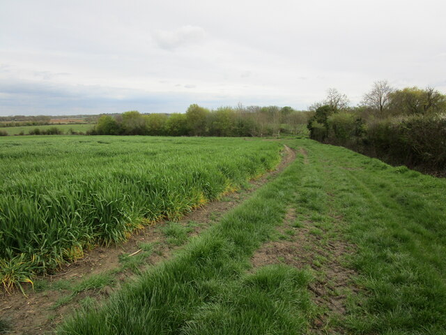
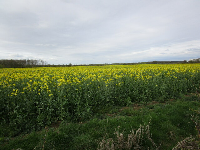
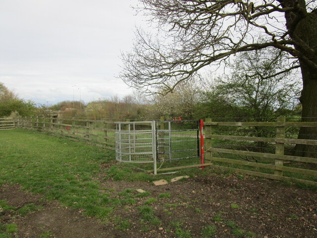
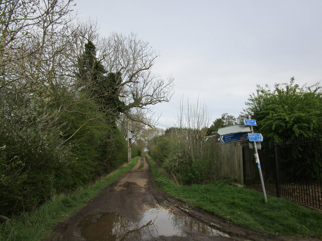
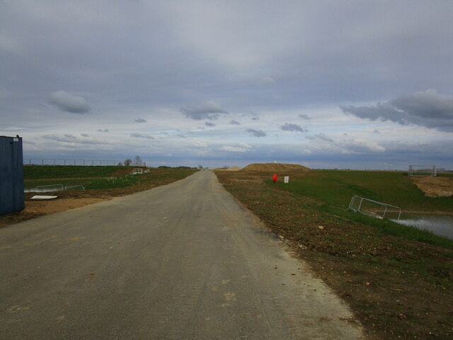
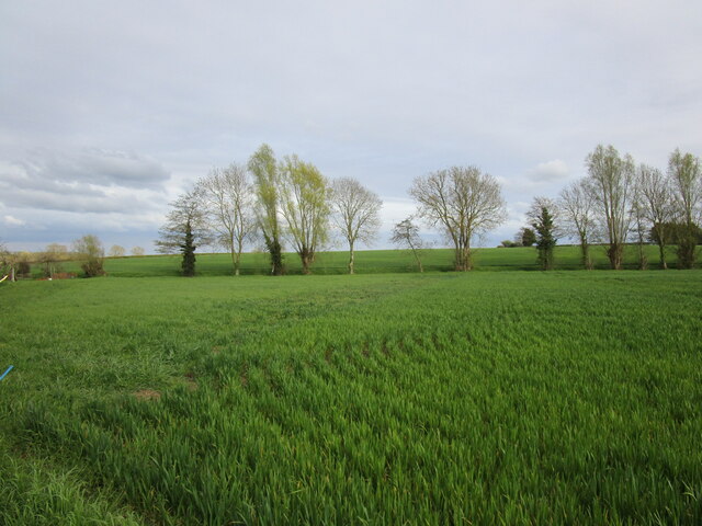
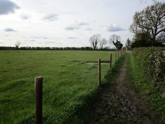
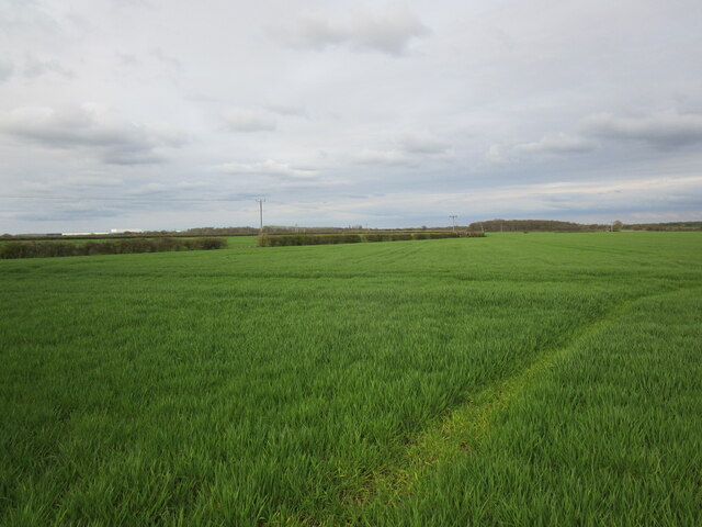
Morborne Thorns Images

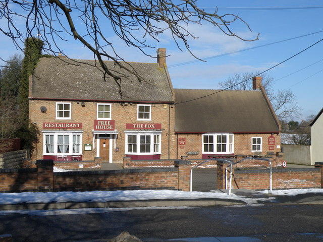
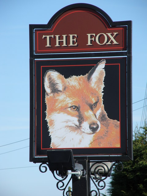
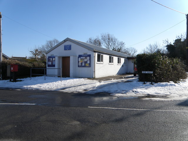
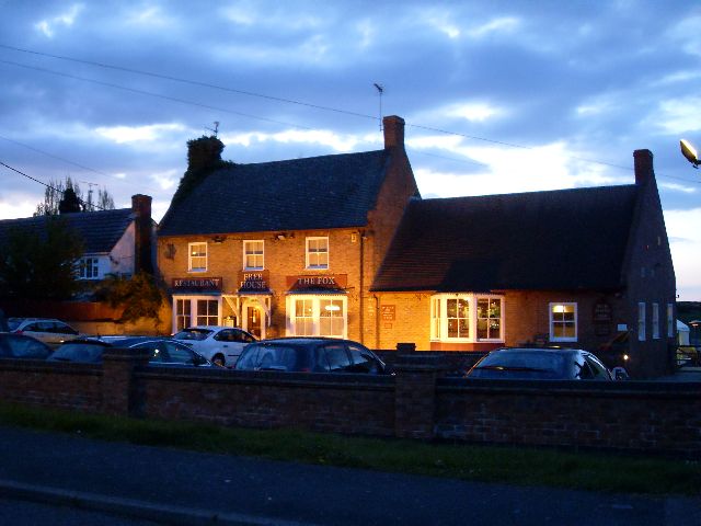
Images are sourced within 2km of 52.511898/-0.30577865 or Grid Reference TL1591. Thanks to Geograph Open Source API. All images are credited.

The Fox, Folksworth The village pub, noted for its cuisine.
The Fox, Folksworth
The village pub, noted for its cuisine.
Pub sign at Folksworth See the pub <a href="https://www.geograph.org.uk/photo/1162693">TL1489 : The Fox, Folksworth</a>
Pub sign at Folksworth
Folksworth village hall Set in the heart of the village, according to the notice board it is well supported with events and activities.
Folksworth village hall
Set in the heart of the village, according to the notice board it is well supported with events and activities.
Dumpy postbox, Folksworth Not a style often seen in this area. No doubt it has a particular series or style name. Postbox experts please confirm.
Thanks to Richard Ellis I can confirm that this is a type "M" postbox.
Dumpy postbox, Folksworth
Not a style often seen in this area. No doubt it has a particular series or style name. Postbox experts please confirm. Thanks to Richard Ellis I can confirm that this is a type "M" postbox.
The Fox pub at night
Bridleway to Haddon Runs alongside a rather battered field of barley.
Bridleway to Haddon
Runs alongside a rather battered field of barley.
Field of oilseed rape near Haddon
Footpath gate by Haddon Road The A1(M) passes in the background.
Footpath gate by Haddon Road
The A1(M) passes in the background.
AMK Fresh A facility concerned with the packaging and distribution of fresh produce.
AMK Fresh
A facility concerned with the packaging and distribution of fresh produce.
Bridleway to Farcet Part of a cycle network serving greater Peterborough.
Bridleway to Farcet
Part of a cycle network serving greater Peterborough.
Development site access This is part of the development of Great Haddon which will consist of about 5,000 houses plus community facilities. The location of the picture is approximate. Once OS updates its mapping of this area I will make any necessary corrections.
Development site access
This is part of the development of Great Haddon which will consist of about 5,000 houses plus community facilities. The location of the picture is approximate. Once OS updates its mapping of this area I will make any necessary corrections.
London Road at Norman Cross
Barley field near Folksworth
Footpath by the churchyard, Folksworth The churchyard is to the right of the picture.
Footpath by the churchyard, Folksworth
The churchyard is to the right of the picture.
Barley field near Morborne
Bridleway and Morrison's Farm. Morborne The bridleway cuts diagonally across this small grass field.
Bridleway and Morrison's Farm. Morborne
The bridleway cuts diagonally across this small grass field.
The Manor House, Haddon The left part dates from the eighteenth century, the rest is a nineteenth century addition.
The Manor House, Haddon
The left part dates from the eighteenth century, the rest is a nineteenth century addition.
Pond at Haddon
Pond at Haddon
Show me another place!

Morborne Thorns is located at Grid Ref: TL1591 (Lat: 52.511898, Lng: -0.30577865)

Administrative County: Cambridgeshire

District: Huntingdonshire

Police Authority: Cambridgeshire

What 3 Words

///slack.froth.diverting. Near Stilton, Cambridgeshire

Related Wikis

Haddon, Cambridgeshire

Haddon is a village and civil parish in Cambridgeshire, England. Haddon lies approximately 5 miles (8 km) south-west of Peterborough city centre, near...

Norman Cross Rural District

Norman Cross was a rural district in Huntingdonshire from 1894 to 1974. It was formed in 1894 under the Local Government Act 1894 from the part of the...

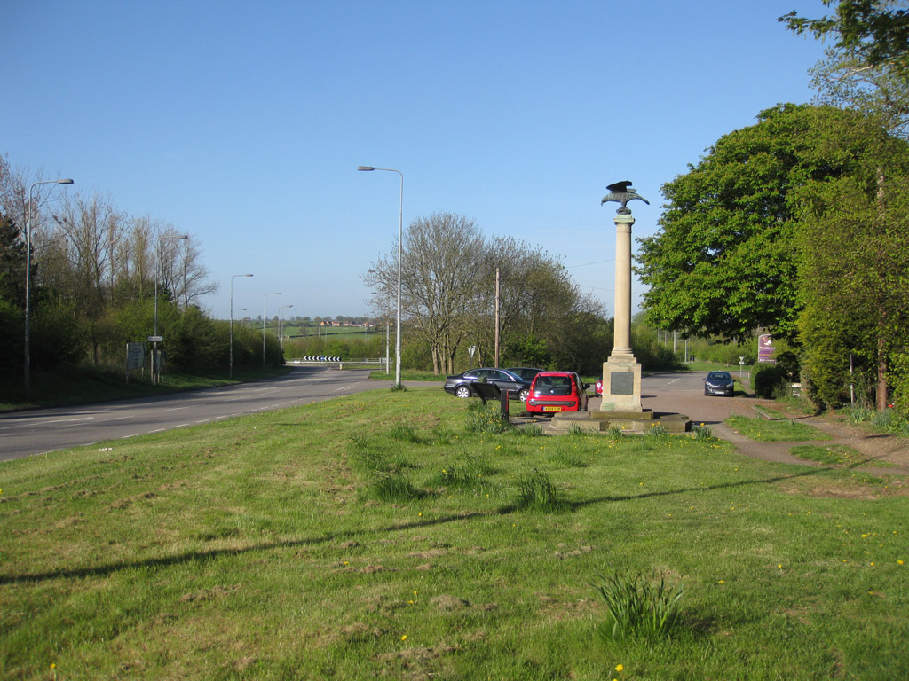
Norman Cross, Cambridgeshire

Norman Cross is a hamlet in the Huntingdonshire district of Cambridgeshire, England. It lies south of Peterborough, between the villages of Folksworth...

Norman Cross Prison

Norman Cross Prison in Huntingdonshire, England, was the world's first purpose-built prisoner-of-war camp or "depot". Constructed in 1796–97, it was designed...

Nearby Amenities

Located within 500m of 52.511898,-0.30577865
Power: pole
Lat/Long: 52.5082223/-0.3070218
Power: pole
Lat/Long: 52.5084627/-0.3042482
Power: pole
Lat/Long: 52.5086044/-0.3027679
Power: pole
Lat/Long: 52.5083433/-0.3056595
Power: pole
Lat/Long: 52.5080998/-0.3083736
Place: farm
Lat/Long: 52.5091332/-0.3017568
The data included in this document is from www.openstreetmap.org. The data is made available under ODbL.

Have you been to Morborne Thorns?

Leave your review of Morborne Thorns below (or comments, questions and feedback).