Ermine Street

Heritage Site in Huntingdonshire Huntingdonshire

England

Ermine Street

A1(M), northbound The A1 is the longest numbered road in the UK at 410 miles long. It connects London with Edinburgh, via the east of England. 
For much of its path it follows the Great North Road the old coaching route between London and Edinburgh. Several sections of the route are classified as motorway A1(M). The modern A1 bypasses the towns the Great North Road passed through and is dual carriageway for most of its route through England.
A1(M), northbound Credit: N Chadwick

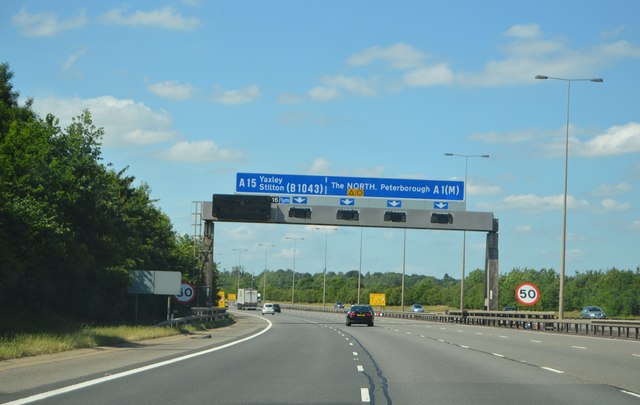
Ermine Street in Huntingdonshire is a historic Roman road that once connected London to Lincoln and York. It was an important route for trade and communication during the Roman occupation of Britain, dating back to around AD 70. The road is named after the stoat-like animal, the ermine, which was once common in the area.

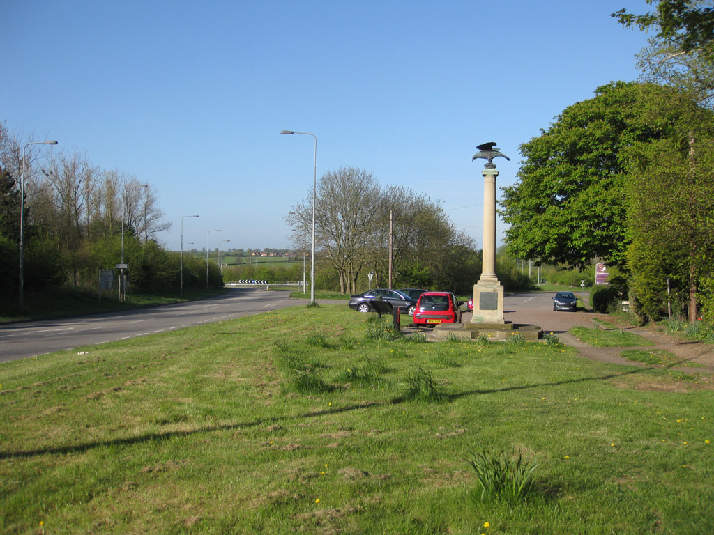
Today, Ermine Street is a designated heritage site, with sections of the road still visible in various locations throughout Huntingdonshire. The road runs through picturesque countryside, offering visitors a glimpse into the past and the opportunity to walk in the footsteps of ancient travelers.

The road is lined with archaeological sites, such as Roman settlements, burial grounds, and milestones, which provide valuable insights into the history of the area. Visitors can explore these sites and learn about the rich Roman heritage of Huntingdonshire.

Ermine Street is a popular destination for history enthusiasts, hikers, and those interested in ancient civilizations. Its significance as a major Roman thoroughfare makes it a must-visit for anyone wanting to experience the rich history of this region.

If you have any feedback on the listing, please let us know in the comments section below.

Ermine Street Images

Images are sourced within 2km of 52.508/-0.298 or Grid Reference TL1591. Thanks to Geograph Open Source API. All images are credited.

A1(M), northbound The A1 is the longest numbered road in the UK at 410 miles long. It connects London with Edinburgh, via the east of England. 
For much of its path it follows the Great North Road the old coaching route between London and Edinburgh. Several sections of the route are classified as motorway A1(M). The modern A1 bypasses the towns the Great North Road passed through and is dual carriageway for most of its route through England.
A1(M), northbound
The A1 is the longest numbered road in the UK at 410 miles long. It connects London with Edinburgh, via the east of England. For much of its path it follows the Great North Road the old coaching route between London and Edinburgh. Several sections of the route are classified as motorway A1(M). The modern A1 bypasses the towns the Great North Road passed through and is dual carriageway for most of its route through England.
A1(M) approaching J16 The A1 is the longest numbered road in the UK at 410 miles long. It connects London with Edinburgh, via the east of England. 
For much of its path it follows the Great North Road the old coaching route between London and Edinburgh. Several sections of the route are classified as motorway A1(M). The modern A1 bypasses the towns the Great North Road passed through and is dual carriageway for most of its route through England.
A1(M) approaching J16
The A1 is the longest numbered road in the UK at 410 miles long. It connects London with Edinburgh, via the east of England. For much of its path it follows the Great North Road the old coaching route between London and Edinburgh. Several sections of the route are classified as motorway A1(M). The modern A1 bypasses the towns the Great North Road passed through and is dual carriageway for most of its route through England.
North Street, Stilton At the junction with Mill Road
North Street, Stilton
At the junction with Mill Road
Mill Road sign On Mill Road at the junction with North Street
Mill Road sign
On Mill Road at the junction with North Street
Mill Road, Stilton At the junction with North Street
Mill Road, Stilton
At the junction with North Street
North Street & Stilton Village Sign At the junction with Mill Road
North Street & Stilton Village Sign
At the junction with Mill Road
Stilton Village sign on North Street At the junction with Mill Road
Stilton Village sign on North Street
At the junction with Mill Road
Stilton Village sign on North Street At the junction with Mill Road
(Close up)
Stilton Village sign on North Street
At the junction with Mill Road (Close up)
North Street, Stilton At the junction with Mill road
North Street, Stilton
At the junction with Mill road
Stilton Village sign on North Street At the junction with Mill Road
Stilton Village sign on North Street
At the junction with Mill Road
North Street at the village sign, Stilton
North Street, Stilton
B1043 southbound
B1043 southbound
Signs for J16, A1 (M) Signs on gantry over A1 (M), at half mile approach to J16.
Signs for J16, A1 (M)
Signs on gantry over A1 (M), at half mile approach to J16.
Cycle Route 12 on Caldecote Road entering Stilton
A1(M) junction 16 What the sign doesn't say is that the A15 is a shorter, probably more fuel efficient but possibly slower way to Peterborough.
A1(M) junction 16
What the sign doesn't say is that the A15 is a shorter, probably more fuel efficient but possibly slower way to Peterborough.
B1043 heading north
B1043 heading north
Kelleys Barn
Kelleys Barn
Show me another place!

Ermine Street is located at Grid Ref: TL1591 (Lat: 52.508, Lng: -0.298)

Administrative County: Cambridgeshire

District: Huntingdonshire

Police Authority: Cambridgeshire

What 3 Words

///bossy.chairs.tenure. Near Stilton, Cambridgeshire

Related Wikis

Norman Cross Rural District

Norman Cross was a rural district in Huntingdonshire from 1894 to 1974. It was formed in 1894 under the Local Government Act 1894 from the part of the...

Norman Cross, Cambridgeshire

Norman Cross is a hamlet in the Huntingdonshire district of Cambridgeshire, England. It lies south of Peterborough, between the villages of Folksworth...

Norman Cross Prison

Norman Cross Prison in Huntingdonshire, England, was the world's first purpose-built prisoner-of-war camp or "depot". Constructed in 1796–97, it was designed...

Great Haddon

Great Haddon is a major settlement proposed in Peterborough, Cambridgeshire, England, near Yaxley. It was granted planning permission in 2015 after a lengthy...

Nearby Amenities

Located within 500m of 52.508,-0.298
Motorway Junction
Norman Cross
Ref: 16
Lat/Long: 52.5079085/-0.2941904
Power: pole
Lat/Long: 52.5084627/-0.3042482
Power: pole
Lat/Long: 52.5086044/-0.3027679
Place: farm
Lat/Long: 52.5091332/-0.3017568
The data included in this document is from www.openstreetmap.org. The data is made available under ODbL.

Have you been to Ermine Street ?

Leave your review of Ermine Street below (or comments, questions and feedback).