Rabbit Hill
Hill, Mountain in Yorkshire
England
Rabbit Hill
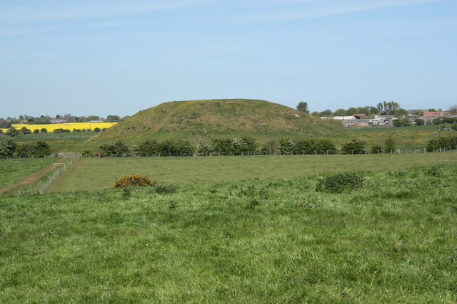
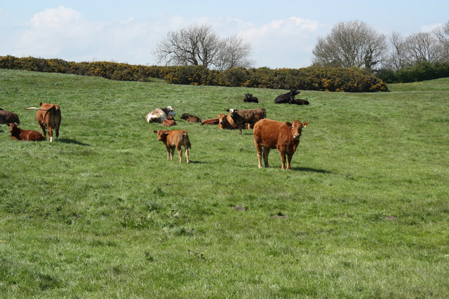
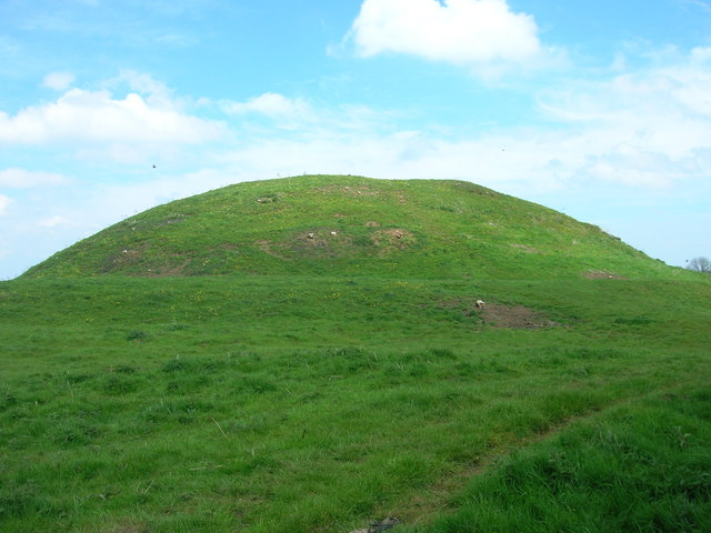
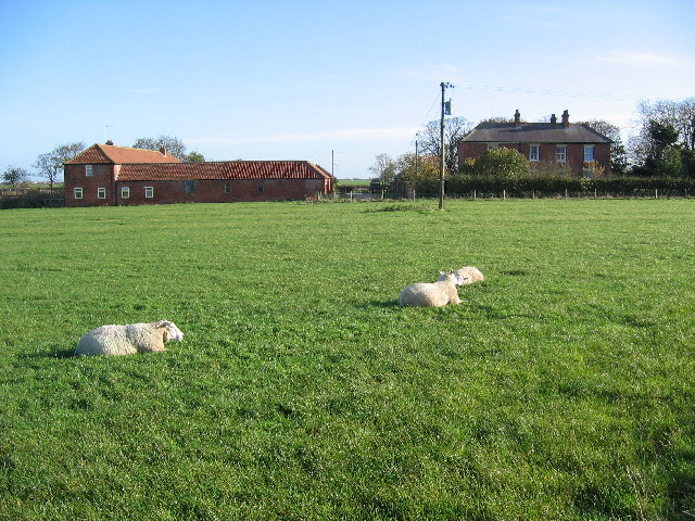
Rabbit Hill is a small hill located in Yorkshire, England. Situated in the picturesque countryside, Rabbit Hill offers stunning views of the surrounding landscape. The hill is covered in lush greenery, with wildflowers and grasses dotting the landscape.
At the top of Rabbit Hill, visitors can enjoy panoramic views of the rolling hills and valleys below. The hill is a popular spot for hikers and nature enthusiasts, who come to explore the area's natural beauty and wildlife. Rabbits can often be seen hopping around the hillside, hence the name Rabbit Hill.
The hill is easily accessible by foot, with well-marked paths leading to the summit. Visitors can also enjoy picnicking on the hillside, taking in the fresh air and peaceful surroundings.
Overall, Rabbit Hill is a tranquil and scenic spot in Yorkshire, offering a peaceful retreat from the hustle and bustle of everyday life. Whether you're looking for a leisurely hike or simply a quiet place to relax and enjoy nature, Rabbit Hill is a must-visit destination in Yorkshire.
If you have any feedback on the listing, please let us know in the comments section below.
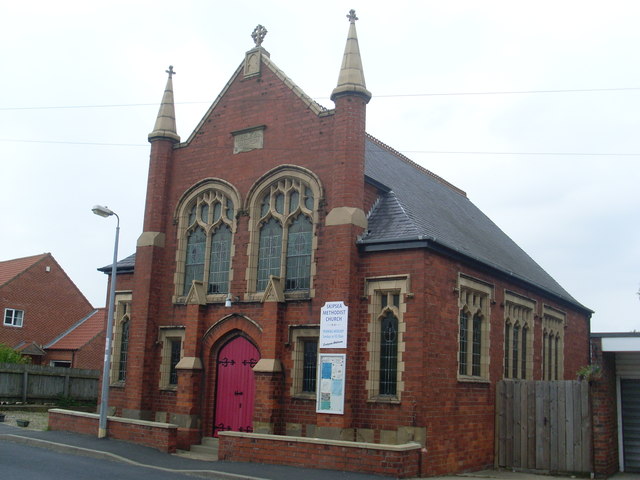
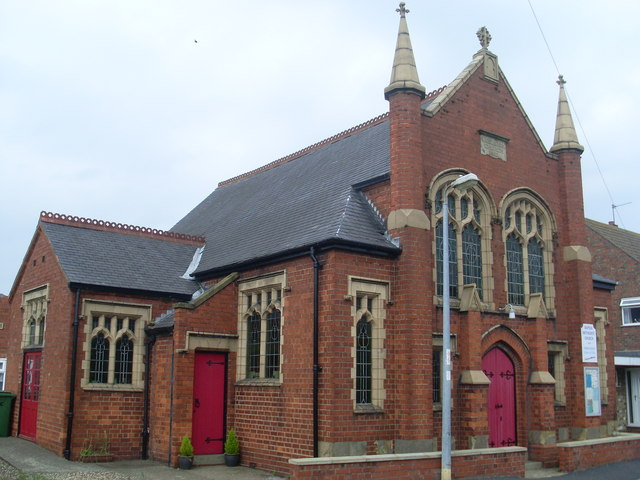
Rabbit Hill Images
Images are sourced within 2km of 53.986571/-0.23923442 or Grid Reference TA1555. Thanks to Geograph Open Source API. All images are credited.


Rabbit Hill is located at Grid Ref: TA1555 (Lat: 53.986571, Lng: -0.23923442)
Division: East Riding
Unitary Authority: East Riding of Yorkshire
Police Authority: Humberside
What 3 Words
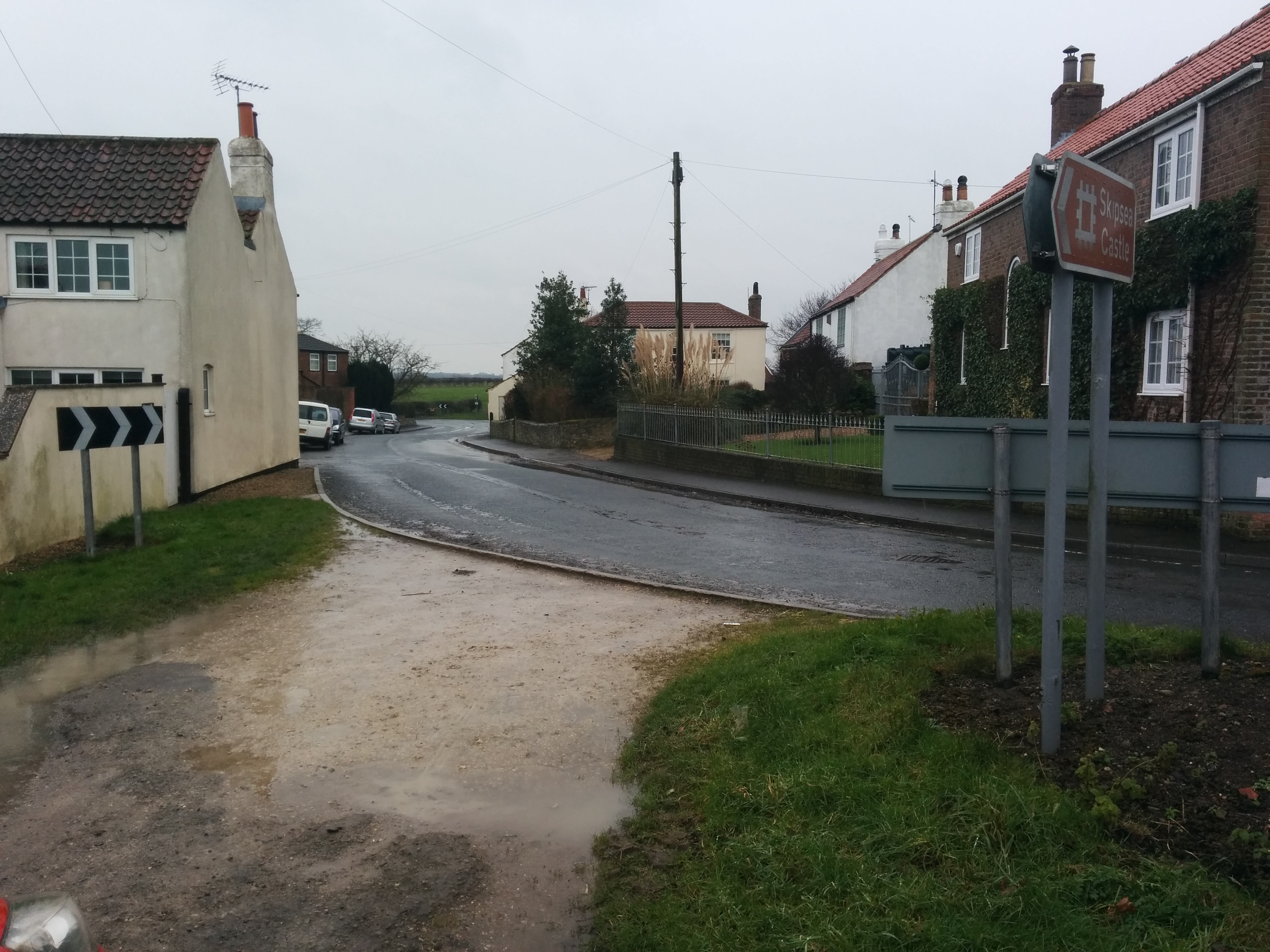
///event.going.offstage. Near Ulrome, East Yorkshire
Nearby Locations
Related Wikis
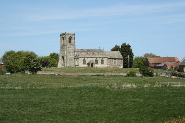
Skipsea Castle
Skipsea Castle was a Norman motte and bailey castle near the village of Skipsea, East Riding of Yorkshire, England. Built around 1086 by Drogo de la Beuvrière...
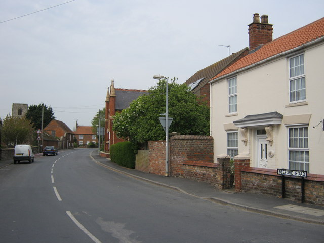
Dringhoe
Dringhoe is a hamlet in the East Riding of Yorkshire, England. It is situated approximately 5.5 miles (9 km) north of Hornsea on the B1249 road to the...

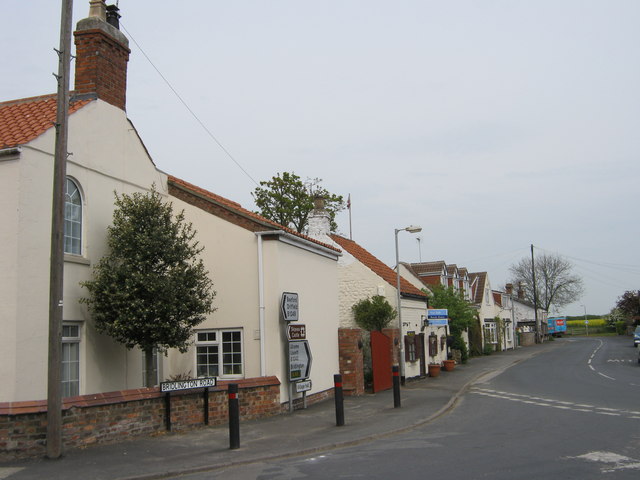
Ulrome
Ulrome is a village and civil parish in the East Riding of Yorkshire, England. It is situated approximately 6 miles (9.7 km) north of the town of Hornsea...
Skipsea Brough
Skipsea Brough is a hamlet in the East Riding of Yorkshire, England. It is situated approximately 5 miles (8 km) north of Hornsea on the B1249 road. It...
Have you been to Rabbit Hill?
Leave your review of Rabbit Hill below (or comments, questions and feedback).