Milton Heath
Wood, Forest in Surrey Mole Valley
England
Milton Heath
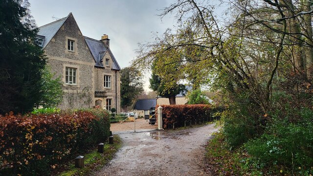
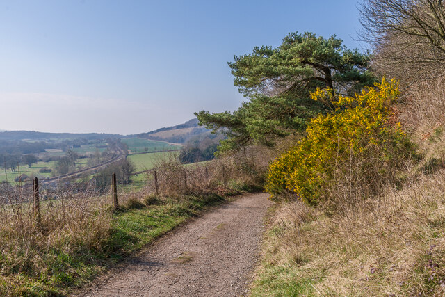
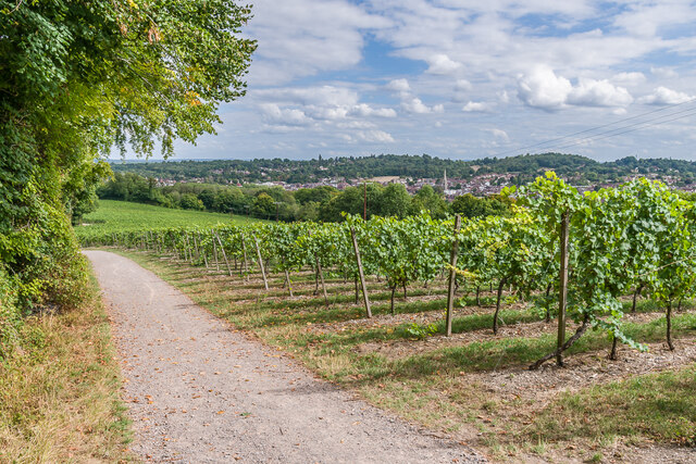
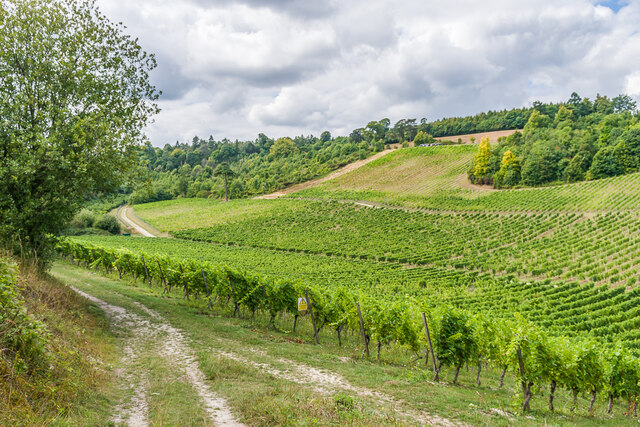
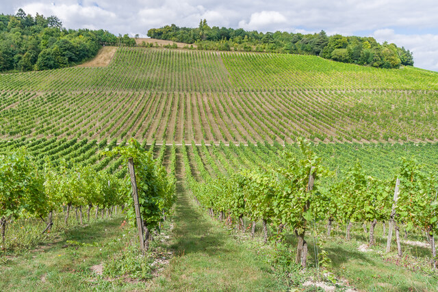
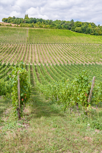
Milton Heath is a small woodland area located in the county of Surrey, England. Situated near the village of Woodmansterne, it covers an approximate area of 40 hectares. The heath is primarily composed of a mixed woodland, consisting of both coniferous and deciduous trees.
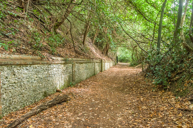
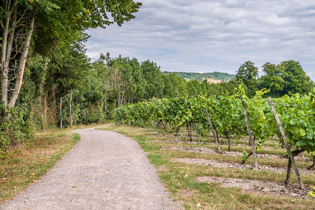
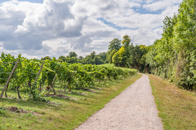
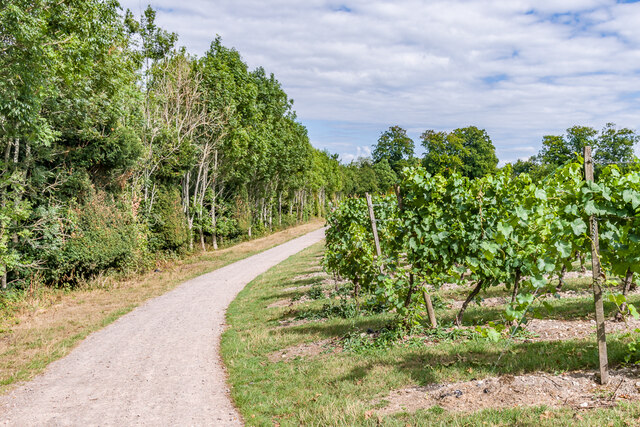
The woodland in Milton Heath is known for its natural and untouched beauty, offering a serene and tranquil environment for visitors. The forest is home to various species of flora and fauna, including oak, birch, beech, and pine trees, which provide a diverse habitat for a range of wildlife.
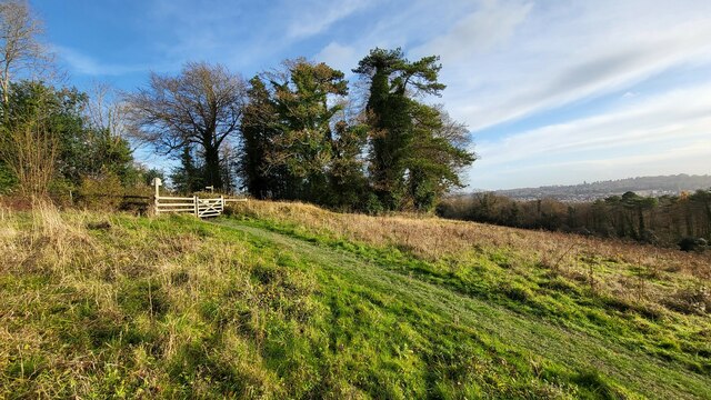
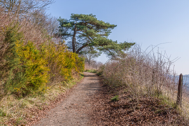
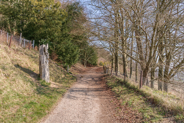
Walking trails and footpaths wind their way through the woodland, allowing visitors to explore the area and appreciate the natural surroundings. The heath is a popular destination for nature lovers, hikers, and birdwatchers, as it provides ample opportunities to spot birds, butterflies, and other wildlife.
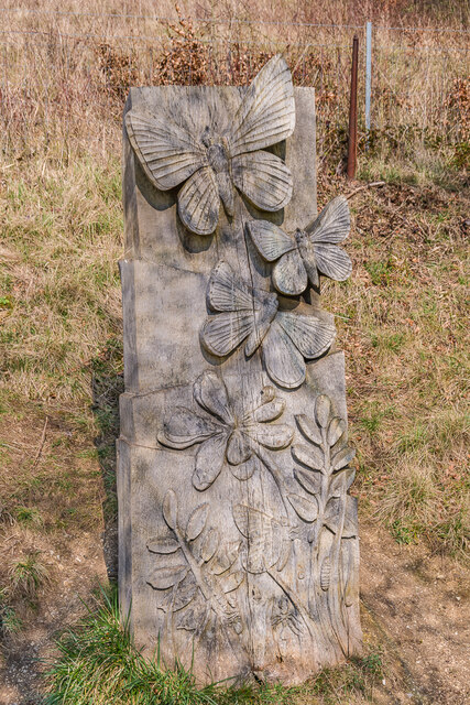
Milton Heath is also an important site for conservation efforts, as it is home to several rare and protected species. The woodland is actively managed to preserve its biodiversity and protect the delicate ecosystem within it.
The heath is easily accessible by car, with parking facilities available nearby. It offers a peaceful retreat from the hustle and bustle of urban life, allowing visitors to connect with nature and enjoy the tranquility of the forest. Whether it's a leisurely stroll, a picnic, or birdwatching, Milton Heath provides a picturesque and rejuvenating experience for all who visit.
If you have any feedback on the listing, please let us know in the comments section below.
Milton Heath Images
Images are sourced within 2km of 51.22717/-0.3483104 or Grid Reference TQ1548. Thanks to Geograph Open Source API. All images are credited.


Milton Heath is located at Grid Ref: TQ1548 (Lat: 51.22717, Lng: -0.3483104)
Administrative County: Surrey
District: Mole Valley
Police Authority: Surrey
What 3 Words
///rich.songs.closed. Near Dorking, Surrey
Nearby Locations
Related Wikis
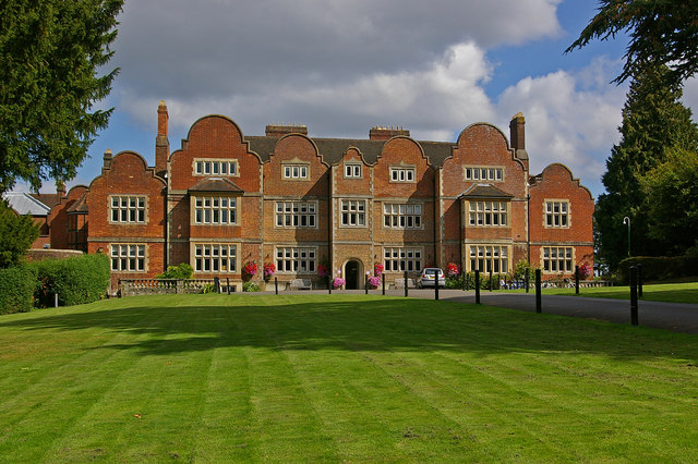
Milton Court
Milton Court, at the far west of the town of Dorking, is a 17th-century country house in Surrey. The court was expanded and substantially rebuilt by the...

St Joseph's Church, Dorking
St Joseph's Church is a Roman Catholic Church in Dorking, Surrey. It was founded in 1872 with help from the Duke of Norfolk. It is situated in Falkland...

Westcott, Surrey
Westcott is a village in central Surrey, England, about 1.5 miles (2.5 km) west of the centre of Dorking. It is in the Mole Valley district and the Surrey...

Dorking Caves
The Dorking Caves are a network of manmade tunnels excavated in the soft sandstone of the Upper Greensand deposits beneath Dorking in Surrey, England....
Nearby Amenities
Located within 500m of 51.22717,-0.3483104Have you been to Milton Heath?
Leave your review of Milton Heath below (or comments, questions and feedback).