Hawking Sopers Copse
Wood, Forest in Sussex Horsham
England
Hawking Sopers Copse
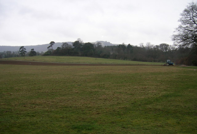
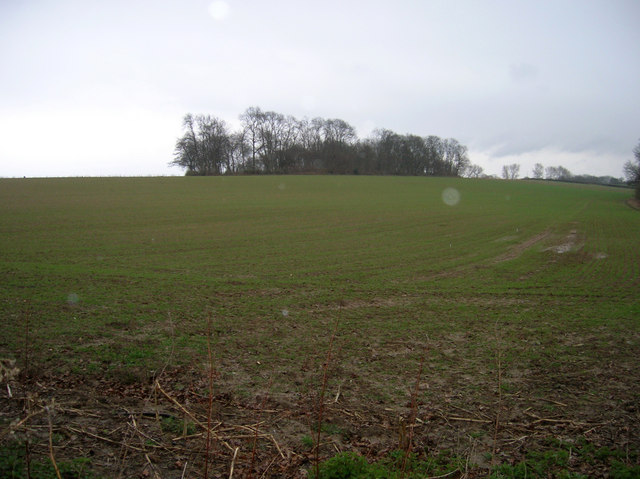
Hawking Sopers Copse is a picturesque woodland located in the county of Sussex, England. Situated in the heart of the South Downs National Park, this copse covers an area of approximately 50 acres, offering visitors a serene and tranquil escape from the hustle and bustle of daily life.
The copse is primarily composed of native broadleaf trees, including oak, beech, and ash, which create a dense canopy, casting dappled sunlight on the forest floor. The undergrowth is abundant with ferns, bluebells, and wildflowers, creating a vibrant and colorful landscape throughout the seasons.
A network of well-maintained footpaths and trails meanders through the copse, allowing visitors to explore its natural beauty at their own pace. These paths lead to various vantage points, providing breathtaking views of the surrounding countryside and the rolling hills of the South Downs.
Hawking Sopers Copse is a haven for wildlife enthusiasts, as it is home to a diverse range of animal species. Birdwatchers will delight in spotting woodpeckers, nuthatches, and various songbirds flitting between the trees, while lucky visitors may even catch a glimpse of elusive deer or foxes roaming the forest.
The copse also holds historical significance, with remnants of ancient settlements and Iron Age earthworks scattered throughout its boundaries. These archaeological features add an extra layer of intrigue to the woodland, giving visitors a glimpse into the area's rich past.
Overall, Hawking Sopers Copse is a hidden gem in Sussex, offering visitors a chance to immerse themselves in the natural beauty and tranquility of a traditional English wood.
If you have any feedback on the listing, please let us know in the comments section below.
Hawking Sopers Copse Images
Images are sourced within 2km of 50.926362/-0.35884398 or Grid Reference TQ1515. Thanks to Geograph Open Source API. All images are credited.


Hawking Sopers Copse is located at Grid Ref: TQ1515 (Lat: 50.926362, Lng: -0.35884398)
Administrative County: West Sussex
District: Horsham
Police Authority: Sussex
What 3 Words
///unhelpful.trips.revealing. Near Ashington, West Sussex
Nearby Locations
Related Wikis

Wiston, West Sussex
Wiston is a scattered village and civil parish in the Horsham District of West Sussex, England. It lies on the A283 road 2.8 miles (4.5 km) northwest of...

Buncton
Buncton () is a small village in the Horsham District of West Sussex, England, part of the civil parish of Wiston 0.5 miles (0.80 km) north. It lies to...
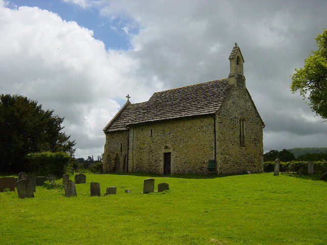
All Saints Church, Buncton
All Saints Church is an Anglican church in the hamlet of Buncton in the district of Horsham, one of seven local government districts in the English county...

South Downs National Park
The South Downs National Park is England's newest national park, designated on 31 March 2010. The park, covering an area of 1,627 square kilometres (628...

Ashington, West Sussex
Ashington is a village and civil parish in the Horsham District of West Sussex, England. It lies on the A24 road 3 miles (4.8 km) north-east of Storrington...

St James's Church, Ashurst
St James's Church is a Church of England parish church in Ashurst, West Sussex. The church is a grade I listed building and it dates from the early 12th...

Ashurst, West Sussex
Ashurst is a village and civil parish in the Horsham District of West Sussex, England, about 2 miles (3.2 km) west of Henfield, and 11 miles (18 km) south...

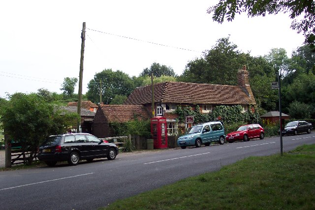
Fountain Inn, Ashurst
The Fountain Inn is a 16th-century public house in the village of Ashurst, in the Horsham district of West Sussex, England. After a period as a farmhouse...
Nearby Amenities
Located within 500m of 50.926362,-0.35884398Have you been to Hawking Sopers Copse?
Leave your review of Hawking Sopers Copse below (or comments, questions and feedback).