Bashurst Hill
Hill, Mountain in Sussex Horsham
England
Bashurst Hill
Bashurst Hill is a prominent geographical feature located in Sussex, England. It is classified as a hill rather than a mountain, as its elevation does not reach the criteria to be considered a mountain. Situated in the beautiful countryside of Sussex, Bashurst Hill offers breathtaking panoramic views of the surrounding landscape.
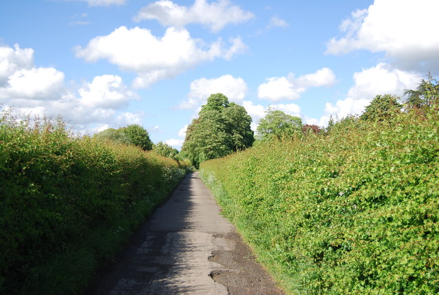
Rising to a height of approximately 250 meters, Bashurst Hill is a popular destination for hikers, nature enthusiasts, and outdoor explorers. Its accessible trails and paths make it an ideal location for outdoor activities such as walking, jogging, and picnicking. The hill is covered in lush greenery, with a variety of flora and fauna thriving in its slopes and valleys.
The summit of Bashurst Hill provides an excellent vantage point, allowing visitors to enjoy stunning vistas of the rolling Sussex countryside, with its patchwork fields, charming villages, and meandering rivers. On clear days, it is even possible to catch glimpses of the English Channel in the distance.
The area surrounding Bashurst Hill is rich in history and heritage. There are remnants of ancient settlements, burial mounds, and other archaeological sites in the vicinity, offering a fascinating glimpse into the past.
Overall, Bashurst Hill is a captivating natural landmark in Sussex that offers a tranquil escape from the hustle and bustle of everyday life. Its picturesque views, diverse wildlife, and historical significance make it a must-visit destination for anyone seeking to connect with nature and explore the beauty of Sussex.
If you have any feedback on the listing, please let us know in the comments section below.
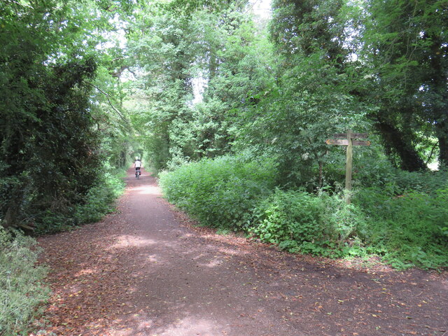
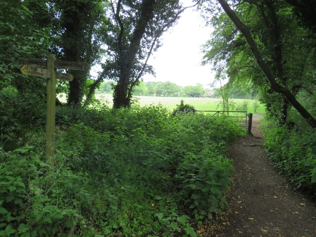
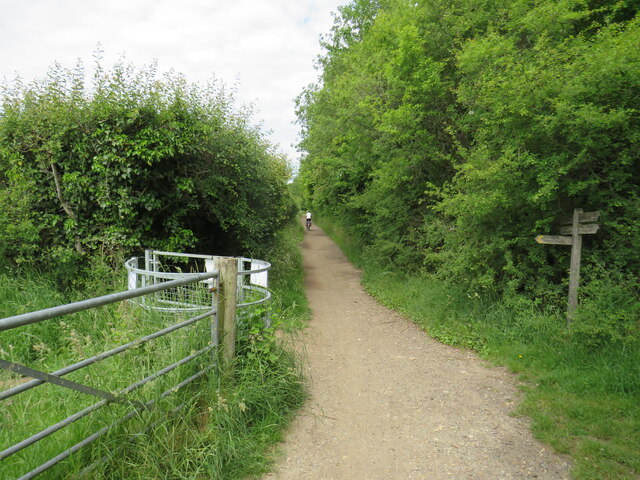
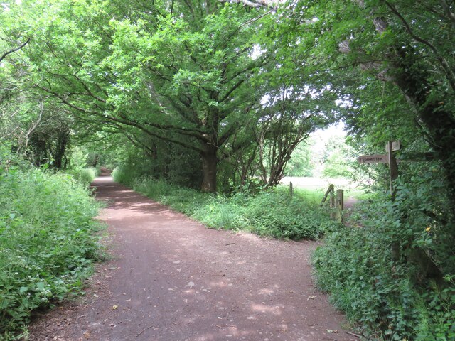
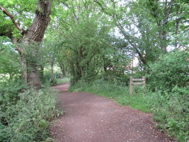
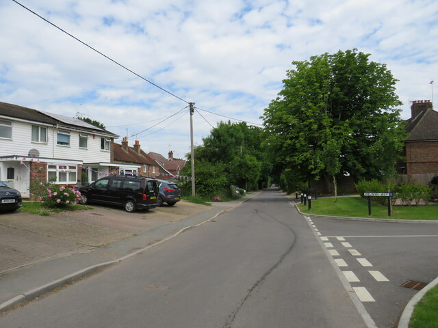
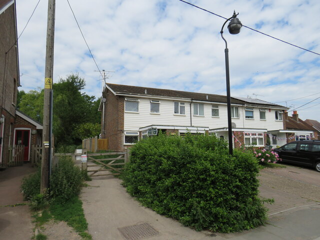
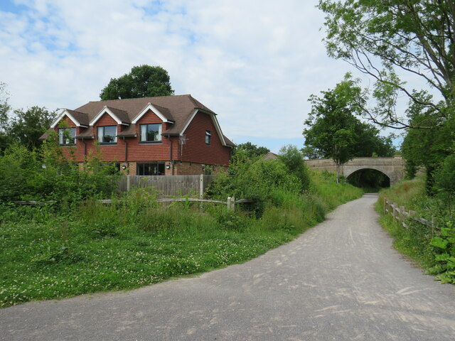
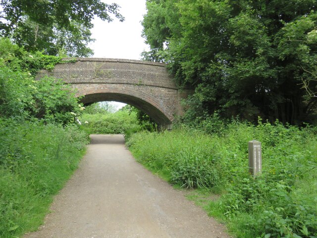
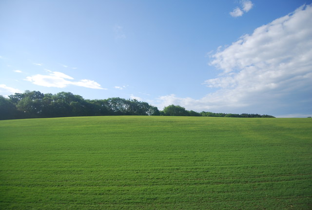
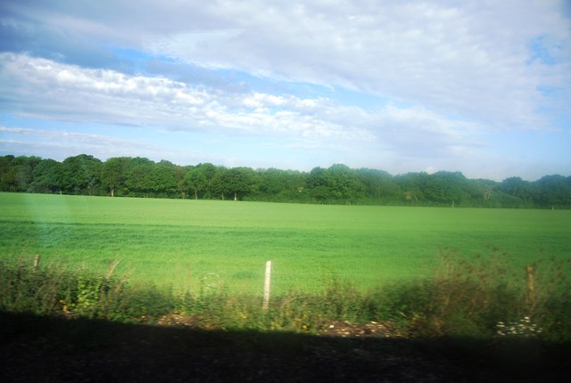
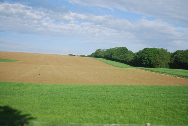
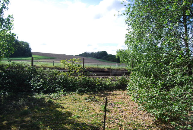
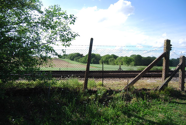
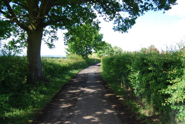
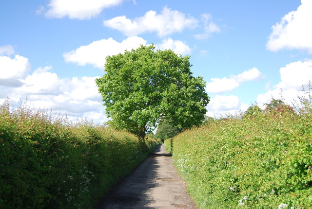
Bashurst Hill Images
Images are sourced within 2km of 51.052773/-0.39355997 or Grid Reference TQ1229. Thanks to Geograph Open Source API. All images are credited.

Bashurst Hill is located at Grid Ref: TQ1229 (Lat: 51.052773, Lng: -0.39355997)
Administrative County: West Sussex
District: Horsham
Police Authority: Sussex
What 3 Words
///door.knowledge.falters. Near Slinfold, West Sussex
Nearby Locations
Related Wikis

Itchingfield
Itchingfield is a small village and civil parish in the Horsham district of West Sussex, England. It lies on the Barns Green to Broadbridge Heath road...
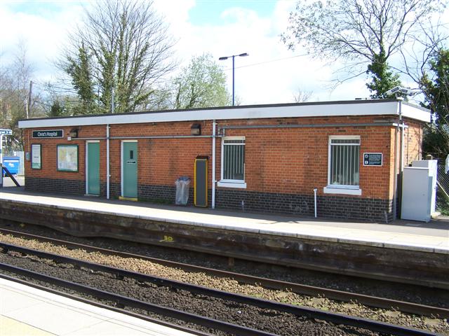
Christ's Hospital railway station
Christ's Hospital railway station is near Horsham in West Sussex, England. It is 40 miles 7 chains (64.5 km) down the line from London Bridge via Redhill...

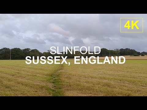
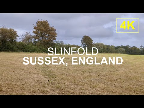
Slinfold
Slinfold is a village and civil parish in the Horsham District of West Sussex, England. == Geography == The village is almost 4 miles (6.4 km) west of...

Slinfold railway station
Slinfold railway station was on the Cranleigh Line and served the village of Slinfold in West Sussex. == History == The line had a single track and opened...

Barns Green
Barns Green is a village in the Horsham district of West Sussex, England. It lies on the Billingshurst to Itchingfield road 2+1⁄2 miles (4.0 km) north...

Downs Link
The Downs Link is a 36.7 miles (59.1 km) footpath and bridleway linking the North Downs Way at St. Martha's Hill in Surrey with the South Downs Way near...

Slinfold Stream and Quarry
Slinfold Stream and Quarry is a 2.3-hectare (5.7-acre) geological Site of Special Scientific Interest west of Horsham in West Sussex. It is a Geological...
Christ's Hospital
Christ's Hospital is a public school (English fee-charging boarding school for pupils aged 11–18) with a royal charter located to the south of Horsham...
Related Videos
SUSSEX, UK | English Countryside Paths l 4K Walk
Walking through Slinfold, in Sussex, UK. #thescenicroute #scenicrelaxationfilm #scenicrelaxation #scenic_relaxation ...
SUSSEX, UK | English Country Footpath l 4K Walk
thescenicroute #sussex #countrywalk #englishnature #uk #uknature #england #englishcountryside #sussexuk #slinfold ...

SUSSEX, UK | Countryside Footpath l 4K Walk
Taking a country walk through the village of Slinfold near a footpath by the village church. #thescenicroute ##sussex #slinfold ...
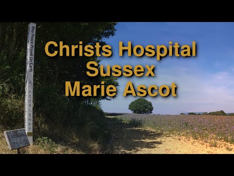
Christs Hospital West Sussex Marie Ascot
Marie Ascot in Christs Hospital West Sussex up Sharpenhurst Hill and then to Itchingfield SUBTITLES FOR COMMENTARY OF ...
Nearby Amenities
Located within 500m of 51.052773,-0.39355997Have you been to Bashurst Hill?
Leave your review of Bashurst Hill below (or comments, questions and feedback).