Bashurst Copse
Wood, Forest in Sussex Horsham
England
Bashurst Copse
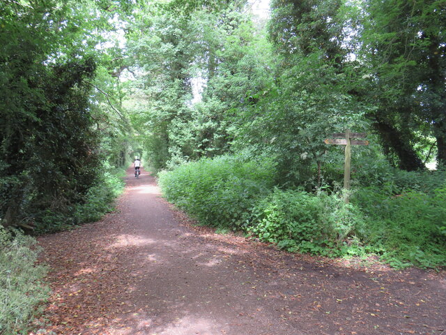
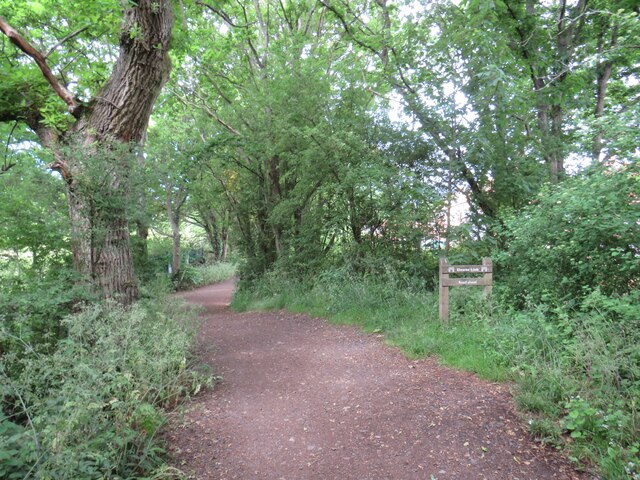
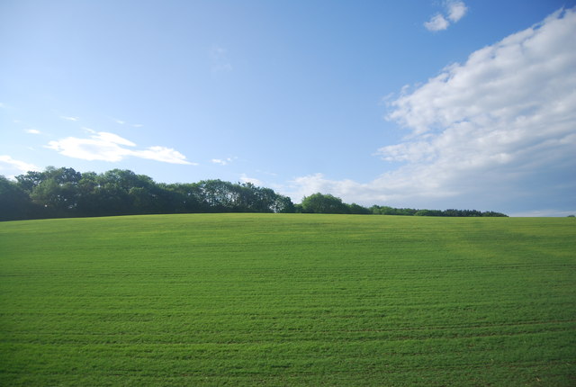
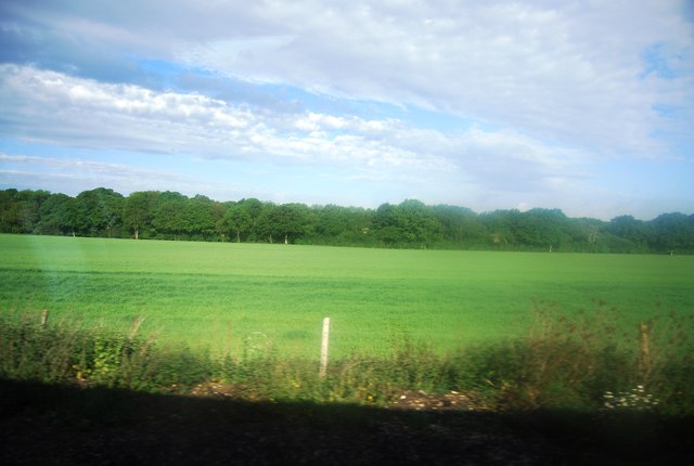
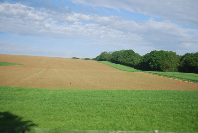
Bashurst Copse is a picturesque woodland located in Sussex, England. Covering an area of approximately 50 acres, it is a natural gem offering tranquility and beauty to its visitors. The copse is nestled within the rolling hills of the Sussex countryside, making it an ideal escape for nature enthusiasts and hikers.
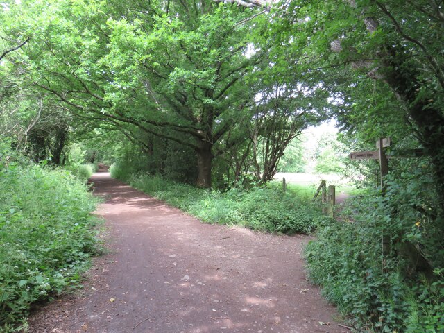
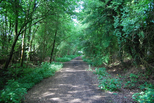
The woodland is primarily composed of broadleaf trees, including oak, beech, and birch, which create a dense canopy overhead, providing shade and shelter for the diverse wildlife that calls Bashurst Copse home. The forest floor is adorned with an array of wildflowers and ferns, adding to the enchanting atmosphere.
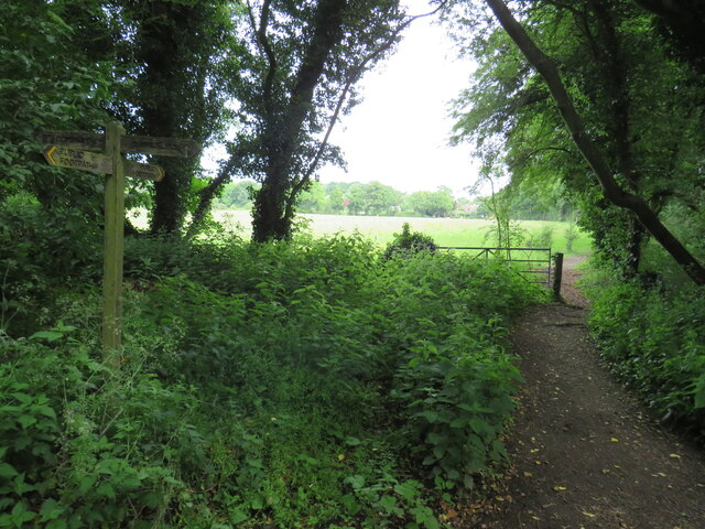
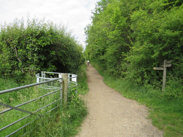
Walking along the well-maintained trails that weave through the copse, visitors can immerse themselves in the peaceful ambiance and enjoy the sights and sounds of nature. The rustling leaves, chirping birds, and occasional scampering of small mammals create a serene symphony.
Bashurst Copse is known for its biodiversity, attracting a wide range of animal species. Birdwatchers can spot various species, such as woodpeckers, owls, and finches. The woodland is also home to mammals like badgers, rabbits, and foxes, which can sometimes be spotted during dusk or dawn.
Throughout the year, the copse showcases seasonal changes, offering different experiences to visitors. In the spring, bluebells carpet the forest floor, creating a breathtaking sight. During autumn, the changing colors of the leaves provide a stunning spectacle, attracting photographers and artists.
Overall, Bashurst Copse is a cherished woodland in Sussex, offering a peaceful haven for those seeking solace in nature's embrace. Its natural beauty, diverse ecosystem, and well-maintained trails make it a popular destination for outdoor enthusiasts and nature lovers alike.
If you have any feedback on the listing, please let us know in the comments section below.
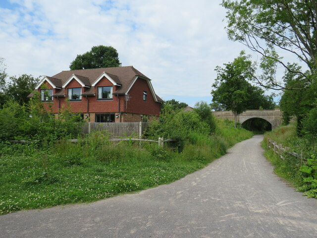
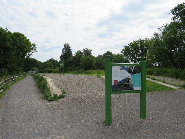
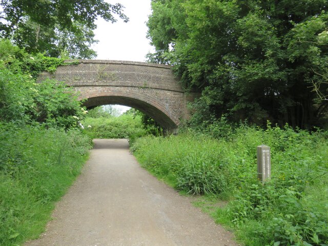
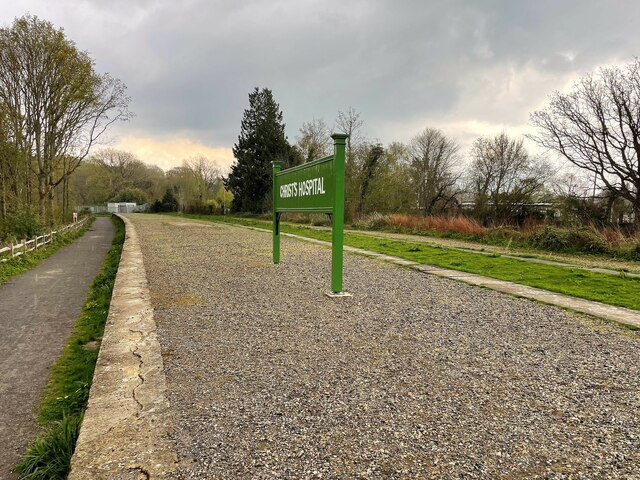
Bashurst Copse Images
Images are sourced within 2km of 51.051668/-0.39229984 or Grid Reference TQ1229. Thanks to Geograph Open Source API. All images are credited.


Bashurst Copse is located at Grid Ref: TQ1229 (Lat: 51.051668, Lng: -0.39229984)
Administrative County: West Sussex
District: Horsham
Police Authority: Sussex
What 3 Words
///scary.ideal.exonerate. Near Slinfold, West Sussex
Nearby Locations
Related Wikis

Itchingfield
Itchingfield is a small village and civil parish in the Horsham district of West Sussex, England. It lies on the Barns Green to Broadbridge Heath road...
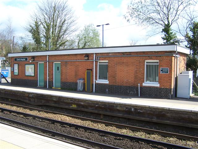
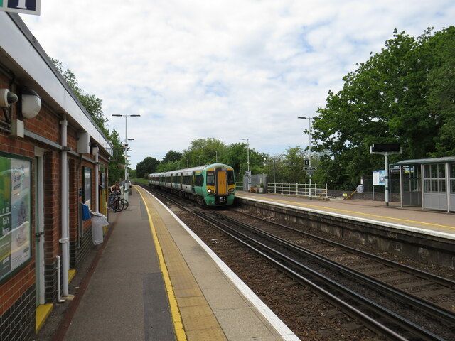
Christ's Hospital railway station
Christ's Hospital railway station is near Horsham in West Sussex, England. It is 40 miles 7 chains (64.5 km) down the line from London Bridge via Redhill...

Downs Link
The Downs Link is a 36.7 miles (59.1 km) footpath and bridleway linking the North Downs Way at St. Martha's Hill in Surrey with the South Downs Way near...

Barns Green
Barns Green is a village in the Horsham district of West Sussex, England. It lies on the Billingshurst to Itchingfield road 2+1⁄2 miles (4.0 km) north...
Christ's Hospital
Christ's Hospital is a public school (English fee-charging boarding school for pupils aged 11–18) with a royal charter located to the south of Horsham...

Slinfold
Slinfold is a village and civil parish in the Horsham District of West Sussex, England. == Geography == The village is almost 4 miles (6.4 km) west of...

Slinfold railway station
Slinfold railway station was on the Cranleigh Line and served the village of Slinfold in West Sussex. == History == The line had a single track and opened...

Slinfold Stream and Quarry
Slinfold Stream and Quarry is a 2.3-hectare (5.7-acre) geological Site of Special Scientific Interest west of Horsham in West Sussex. It is a Geological...
Nearby Amenities
Located within 500m of 51.051668,-0.39229984Have you been to Bashurst Copse?
Leave your review of Bashurst Copse below (or comments, questions and feedback).