Toat Hill
Hill, Mountain in Sussex Horsham
England
Toat Hill
Toat Hill, located in the county of Sussex in England, is a prominent hill that stands at an elevation of 203 meters (666 feet) above sea level. It is situated in the South Downs National Park and offers breathtaking panoramic views of the surrounding countryside. The hill is part of the South Downs Way, a long-distance footpath that stretches across the South Downs.
Toat Hill is known for its distinctive shape, featuring a broad and flat summit, making it easily recognizable from afar. The hill is predominantly covered in grassland, with scattered trees and shrubs dotting its slopes. The flora and fauna found on the hill are diverse, with wildflowers such as harebells and cowslips adding colorful accents to the landscape.
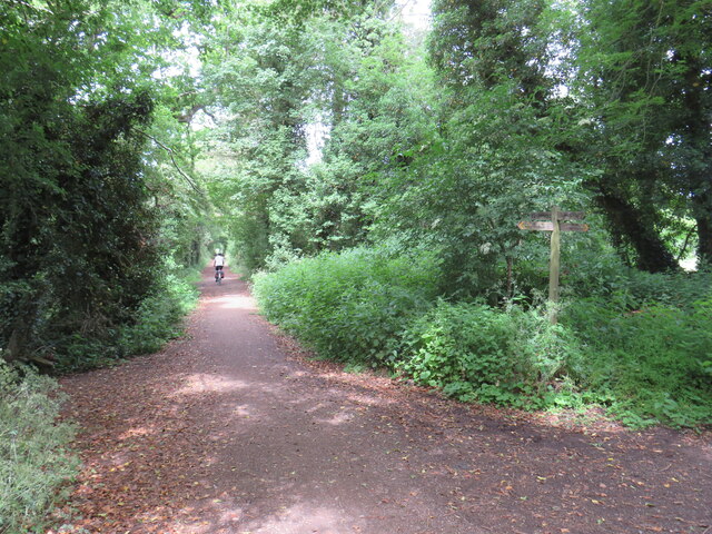
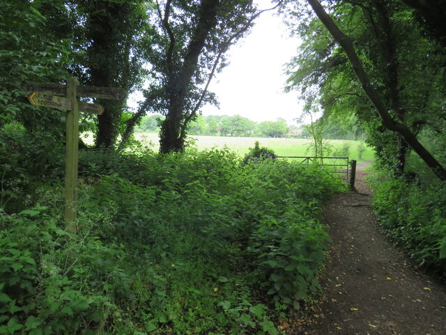
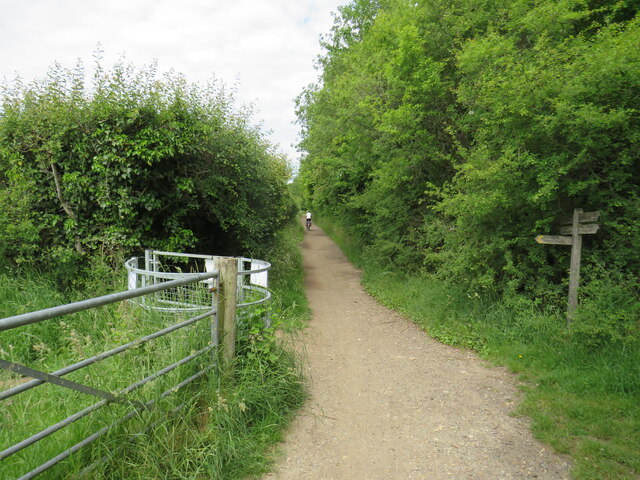
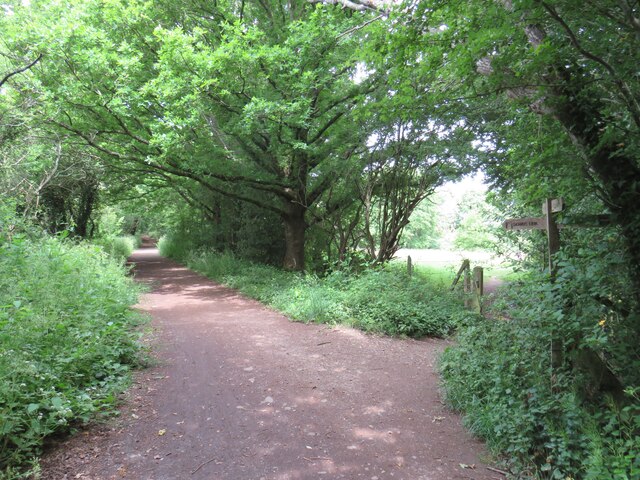
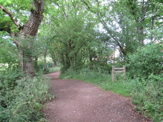
The summit of Toat Hill is accessible by a well-maintained footpath, attracting hikers, nature enthusiasts, and photographers. The hill provides an ideal spot for picnics, with benches and picnic tables available for visitors to relax and enjoy the picturesque surroundings. On clear days, the views from the top extend for miles, showcasing the rolling hills, patchwork fields, and distant villages.
Toat Hill holds historical significance as well. It is believed to have been used as a burial ground during the Neolithic period, with evidence of ancient burial mounds and barrows discovered in the vicinity. These archaeological remains add an intriguing layer of history to the natural beauty of the hill.
Overall, Toat Hill in Sussex offers a delightful blend of natural beauty, recreational opportunities, and historical interest, making it a popular destination for locals and tourists alike.
If you have any feedback on the listing, please let us know in the comments section below.
Toat Hill Images
Images are sourced within 2km of 51.054086/-0.40144783 or Grid Reference TQ1229. Thanks to Geograph Open Source API. All images are credited.


Toat Hill is located at Grid Ref: TQ1229 (Lat: 51.054086, Lng: -0.40144783)
Administrative County: West Sussex
District: Horsham
Police Authority: Sussex
What 3 Words
///reclusive.dignity.cheat. Near Slinfold, West Sussex
Nearby Locations
Related Wikis

Itchingfield
Itchingfield is a small village and civil parish in the Horsham district of West Sussex, England. It lies on the Barns Green to Broadbridge Heath road...

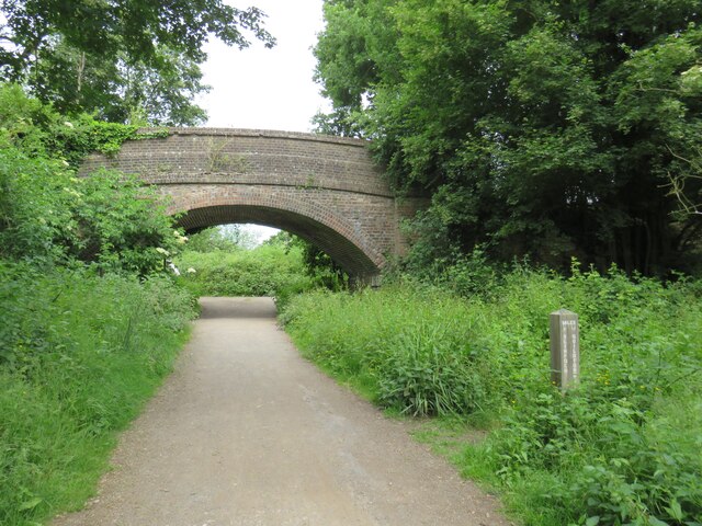
Slinfold railway station
Slinfold railway station was on the Cranleigh Line and served the village of Slinfold in West Sussex. == History == The line had a single track and opened...

Slinfold
Slinfold is a village and civil parish in the Horsham District of West Sussex, England. == Geography == The village is almost 4 miles (6.4 km) west of...

Slinfold Stream and Quarry
Slinfold Stream and Quarry is a 2.3-hectare (5.7-acre) geological Site of Special Scientific Interest west of Horsham in West Sussex. It is a Geological...

Barns Green
Barns Green is a village in the Horsham district of West Sussex, England. It lies on the Billingshurst to Itchingfield road 2+1⁄2 miles (4.0 km) north...

Five Oaks
Five Oaks is a large hamlet in the Horsham District of West Sussex, England. It lies about 1.7 miles (2.8 km) north of Billingshurst on the Roman road...
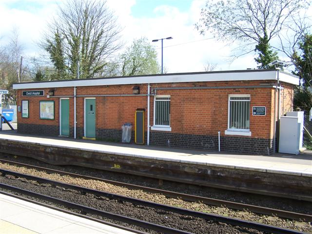
Christ's Hospital railway station
Christ's Hospital railway station is near Horsham in West Sussex, England. It is 40 miles 7 chains (64.5 km) down the line from London Bridge via Redhill...

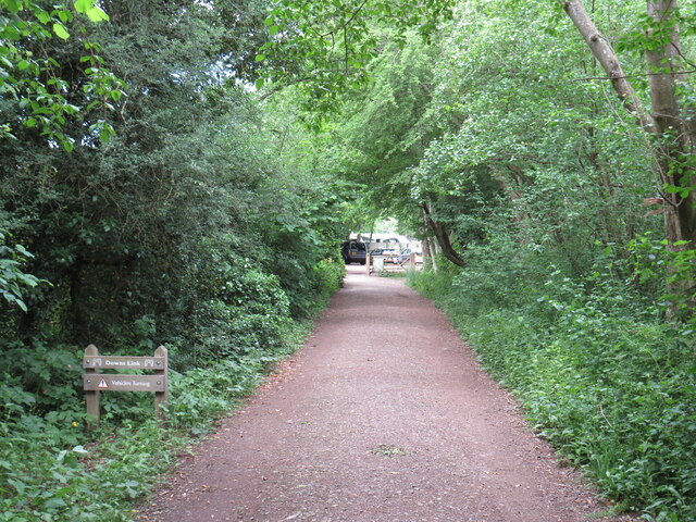
Downs Link
The Downs Link is a 36.7 miles (59.1 km) footpath and bridleway linking the North Downs Way at St. Martha's Hill in Surrey with the South Downs Way near...
Nearby Amenities
Located within 500m of 51.054086,-0.40144783Have you been to Toat Hill?
Leave your review of Toat Hill below (or comments, questions and feedback).