Sand Hill

Hill, Mountain in Yorkshire

England

Sand Hill

Kidhill Lane approaching Benningholme Grange
Kidhill Lane approaching Benningholme Grange Credit: Mark Anderson

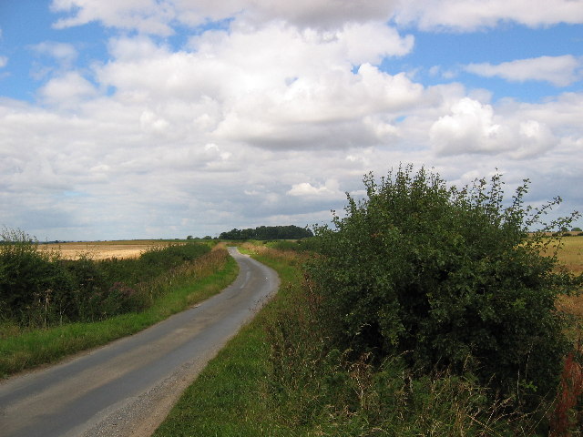
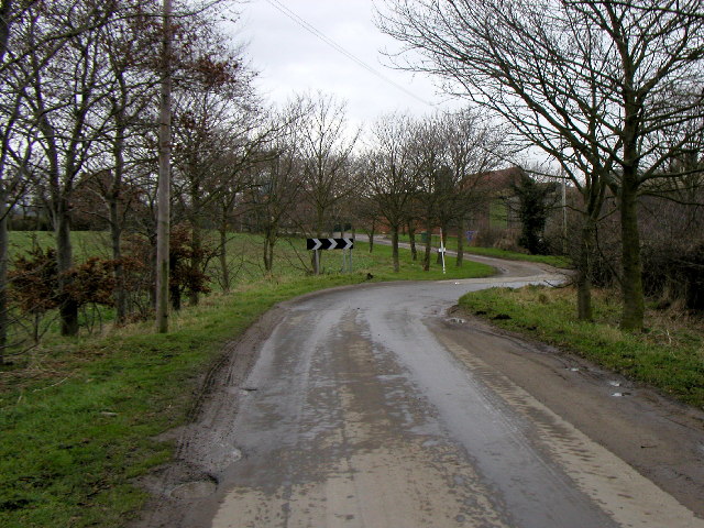
Sand Hill is a prominent landmark located in Yorkshire, England. Standing at an elevation of 321 meters above sea level, it is classified as a hill rather than a mountain. Despite its relatively modest height, Sand Hill offers stunning panoramic views of the surrounding countryside and is a popular destination for hikers and nature enthusiasts.

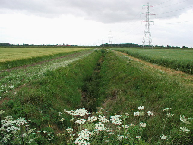
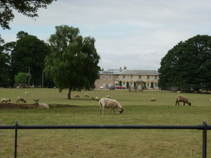
The terrain of Sand Hill is characterized by rolling hills, lush greenery, and rocky outcrops. The hill is covered in a patchwork of heather, grasses, and wildflowers, creating a picturesque and serene landscape. Visitors to Sand Hill can expect to encounter a variety of wildlife, including birds, rabbits, and the occasional deer.

Access to Sand Hill is relatively easy, with well-maintained footpaths leading to the summit. The hike to the top is moderate in difficulty, making it suitable for hikers of all skill levels. Once at the summit, visitors are rewarded with breathtaking views of the surrounding countryside, including nearby villages, forests, and farmland.

Overall, Sand Hill is a beautiful and tranquil spot in Yorkshire, offering visitors the opportunity to immerse themselves in nature and enjoy the stunning scenery of the English countryside.

If you have any feedback on the listing, please let us know in the comments section below.
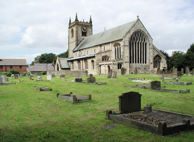
Sand Hill Images

Images are sourced within 2km of 53.823364/-0.28953749 or Grid Reference TA1237. Thanks to Geograph Open Source API. All images are credited.

Kidhill Lane approaching Benningholme Grange
Swine Road
Swine Road
Swine Road
Swine Road
Swine Road
Swine Road
Benningholme Hall, near Skirlaugh Seen from Swine Road, Grade II listed late Georgian house built 1820-30 for Robert Harrison, with later additions and alterations including a range to the left added in the 1970s.
Benningholme Hall, near Skirlaugh
Seen from Swine Road, Grade II listed late Georgian house built 1820-30 for Robert Harrison, with later additions and alterations including a range to the left added in the 1970s.
Swine farmhouse Abbey Garth Farm, seen from the adjacent St Mary's churchyard
Swine farmhouse
Abbey Garth Farm, seen from the adjacent St Mary's churchyard
Woodhouse Farm Looking north At (TA129236148) from the lane on the east edge of the square towards Woodhouse Farm. Hill Farm sits on the south edge of the grid square.
Woodhouse Farm
Looking north At (TA129236148) from the lane on the east edge of the square towards Woodhouse Farm. Hill Farm sits on the south edge of the grid square.
Hill & Woodhouse Farms At the road junction to the farms which make up this grid square
Hill & Woodhouse Farms
At the road junction to the farms which make up this grid square
Farmland near Swine Looking south to the long stand of trees which runs east, west across the grid square. The lane seen here on the right leads to Woodhouse and Hill farms in the adjacent square west. Within the square along the lane, which just cuts into the SW corner are a couple of houses.
Farmland near Swine
Looking south to the long stand of trees which runs east, west across the grid square. The lane seen here on the right leads to Woodhouse and Hill farms in the adjacent square west. Within the square along the lane, which just cuts into the SW corner are a couple of houses.
Kelwell Farm The farm is in the bottom SW corner of the grid square. This view looking south from the bridge over the drain (TA1416036730) This square is all farmland
Kelwell Farm
The farm is in the bottom SW corner of the grid square. This view looking south from the bridge over the drain (TA1416036730) This square is all farmland
New England Looking to New England in the NE corner of the grid square which is all farmland.
New England
Looking to New England in the NE corner of the grid square which is all farmland.
Great Stanks Farm View looking south to Great Stanks. This is a typical view of this square.
Great Stanks Farm
View looking south to Great Stanks. This is a typical view of this square.
Wheatfield near Skirlaugh View from the lane which runs up through the west edge of this wheat filled square.
Wheatfield near Skirlaugh
View from the lane which runs up through the west edge of this wheat filled square.
Farm TA1238 View from the east edge of the grid square looking west towards the farm buildings. Beningholme Hall is just a little way down the road in the NE corner of this farmland square.
Farm TA1238
View from the east edge of the grid square looking west towards the farm buildings. Beningholme Hall is just a little way down the road in the NE corner of this farmland square.
Skirlaugh, West This view from the west edge of the grid square (TA13003910) looking east towards the edge of Skirlaugh on the east edge of the square.
Skirlaugh, West
This view from the west edge of the grid square (TA13003910) looking east towards the edge of Skirlaugh on the east edge of the square.
Farmland - TA1139 The road dog legs from the lower west edge of the square to the bottom NE corner. Looking to the trees on the north edge of the square which is all farmland
Farmland - TA1139
The road dog legs from the lower west edge of the square to the bottom NE corner. Looking to the trees on the north edge of the square which is all farmland
Bend in the road Taken at MR: TA11963886 looking in a WSW direction.
Bend in the road
Taken at MR: TA11963886 looking in a WSW direction.
The view from Newlands, northwest of Swine Looking west from the bridle path towards Carlam Hill Farm.
The view from Newlands, northwest of Swine
Looking west from the bridle path towards Carlam Hill Farm.
Show me another place!

Sand Hill is located at Grid Ref: TA1237 (Lat: 53.823364, Lng: -0.28953749)

Division: East Riding

Unitary Authority: East Riding of Yorkshire

Police Authority: Humberside

What 3 Words

///sudden.shout.snack. Near Dunswell, East Yorkshire

Nearby Locations

Sand Hill

Related Wikis

Lambwath Stream

Lambwath Stream (or Lambwath Drain), is a small beck in the Holderness area of the East Riding of Yorkshire, England. The stream is unusual in that despite...

Benningholme

Benningholme is a hamlet in the East Riding of Yorkshire, England, in an area known as Holderness. It is situated approximately 6 miles (10 km) north of...

Swine Priory

Swine Priory was a priory in the village of Swine in the East Riding of Yorkshire, England. The site of the Cistercian nunnery is a Scheduled Monument...

Swine, East Riding of Yorkshire

Swine is a village and civil parish in the East Riding of Yorkshire, England. It is situated approximately 5 miles (8 km) north-east of Hull city centre...

Related Videos

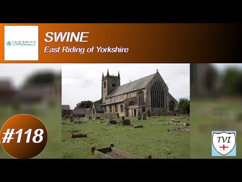
SWINE: East Riding of Yorkshire Parish #118 of 172

EAST RIDING OF YORKSHIRE PARISH #118: SWINE Our journey through the East Riding next brings us to Swine – which is a ...

SKIRLAUGH: East Riding of Yorkshire Parish #119 of 172

EAST RIDING OF YORKSHIRE PARISH #119: SKIRLAUGH Skirlaugh truly is a wonderful village. I loved this one because it ...

Skirlaugh Gala 1973 - parade through the village and gala on the field

Joseph Wilson's eldest son Clive lived at Skirlaugh with wife Rosie and children Derek & Joanne. Here they are joined by Jessie ...

Have you been to Sand Hill?

Leave your review of Sand Hill below (or comments, questions and feedback).