Beech Hill
Hill, Mountain in Surrey Woking
England
Beech Hill
Beech Hill, Surrey, is a prominent hill located in the southeastern part of England. Situated in the county of Surrey, it is part of the North Downs, a range of chalk hills that stretches across the region. With an elevation of approximately 104 meters (341 feet), Beech Hill offers stunning panoramic views of the surrounding countryside.
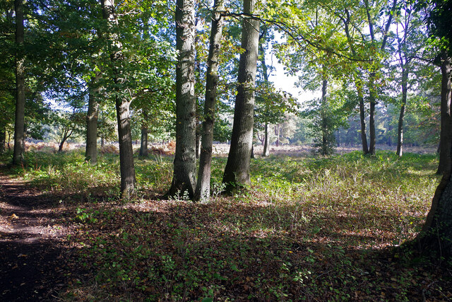
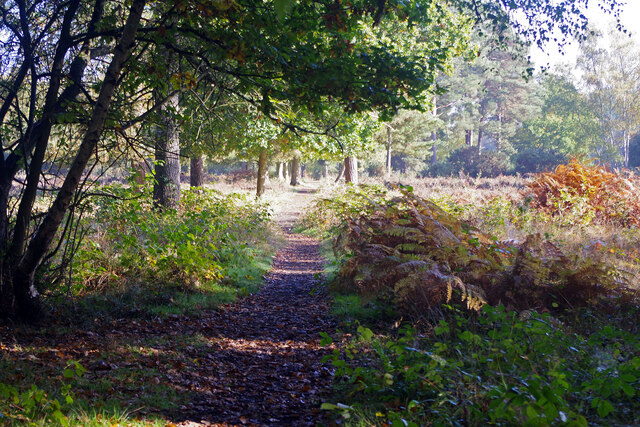
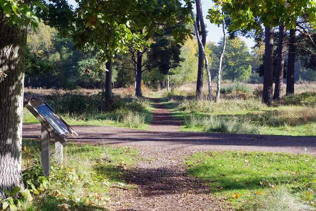
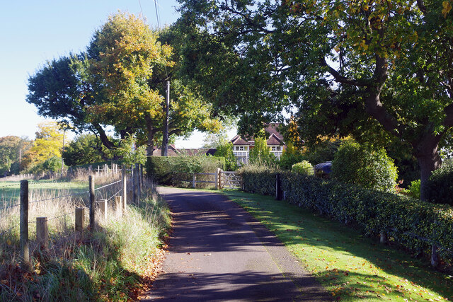
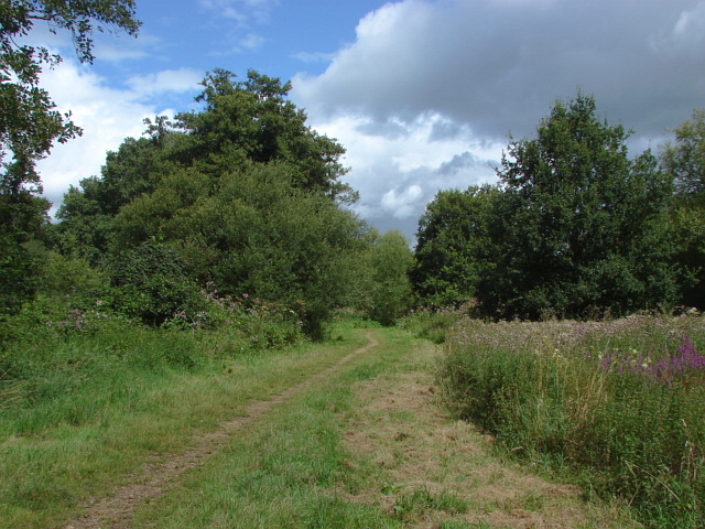
The hill is primarily covered in beech woodland, hence its name. The dense forested area provides a habitat for a diverse range of flora and fauna, making it a popular spot for nature enthusiasts and hikers. The area is also home to a variety of bird species, including woodpeckers, finches, and owls.
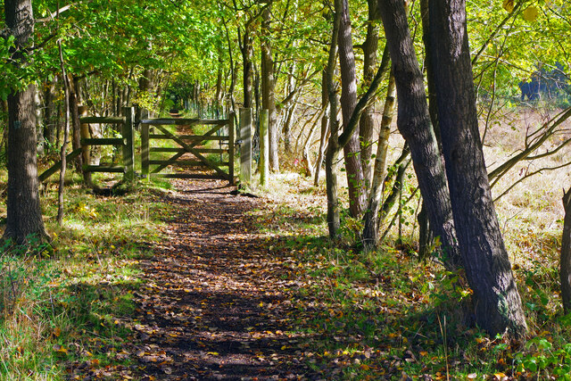
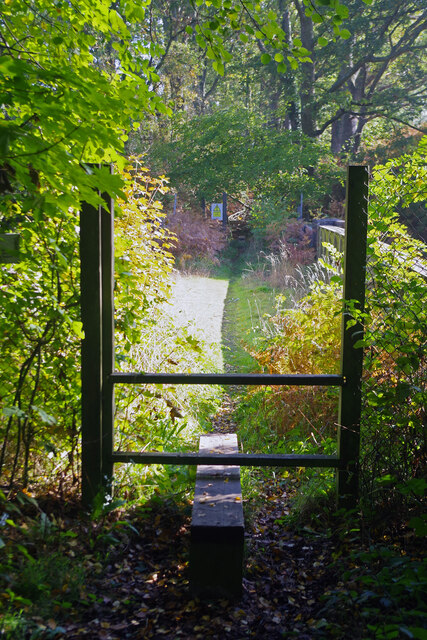
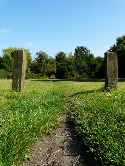
Beech Hill is easily accessible, with several footpaths and trails leading to the summit. The main footpath is well-maintained and suitable for all levels of walkers. It offers a peaceful and serene atmosphere, allowing visitors to immerse themselves in nature and escape the hustle and bustle of everyday life.
At the top of Beech Hill, there is a small clearing that provides a perfect spot for picnicking or simply enjoying the breathtaking views. On a clear day, visitors can see for miles, with rolling hills, meadows, and quaint villages dotting the landscape.
Overall, Beech Hill, Surrey, is a picturesque and tranquil hill, offering a scenic escape for those seeking a connection to nature. Whether it's a leisurely stroll or a more challenging hike, this hill provides a delightful experience for all who visit.
If you have any feedback on the listing, please let us know in the comments section below.
Beech Hill Images
Images are sourced within 2km of 51.291431/-0.57042808 or Grid Reference SU9955. Thanks to Geograph Open Source API. All images are credited.


Beech Hill is located at Grid Ref: SU9955 (Lat: 51.291431, Lng: -0.57042808)
Administrative County: Surrey
District: Woking
Police Authority: Surrey
What 3 Words
///bride.vibrate.cheeks. Near Woking, Surrey
Nearby Locations
Related Wikis
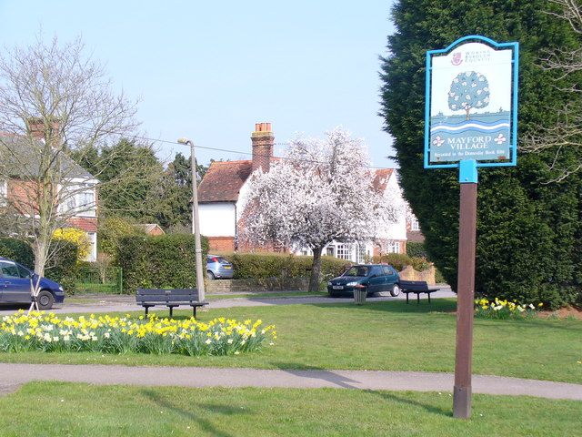
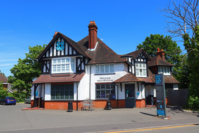
Mayford
Mayford is a village in Woking borough of the county of Surrey, England. It is 3 miles south of Woking on Egley Road, part of the A320 between Woking and...
Mayford Meadows
Mayford Meadows is a 4.9-hectare (12-acre) Local Nature Reserve on the southern outskirts of Woking in Surrey. It is owned and managed by Woking Borough...
Westfield Common
Westfield Common is an area of land in Westfield, Woking that is registered common land. == Attributes == Westfield Common has boundaries that have been...

Hoe Valley School
Hoe Valley School is an outstanding new co-educational, comprehensive, secondary school in Woking, England. The school was established in 2014, and opened...

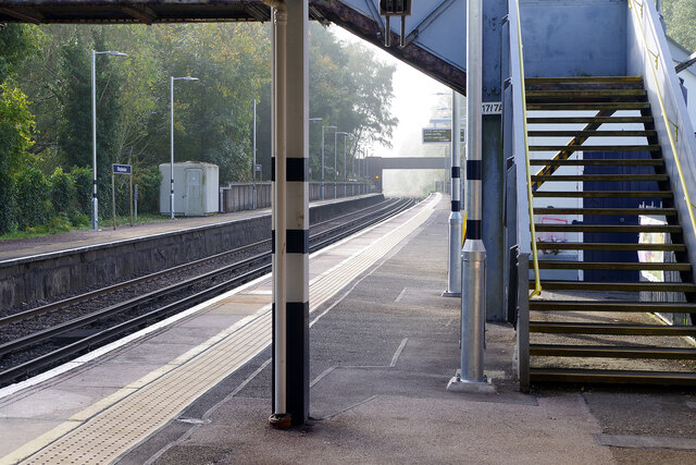
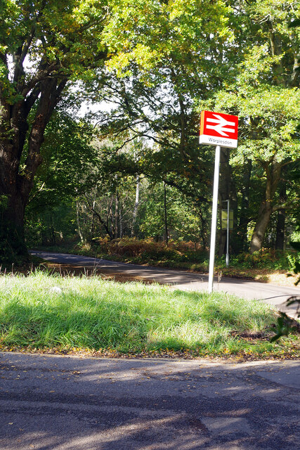
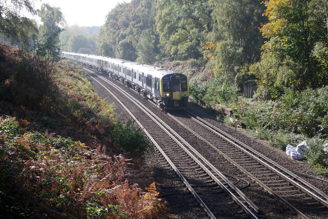
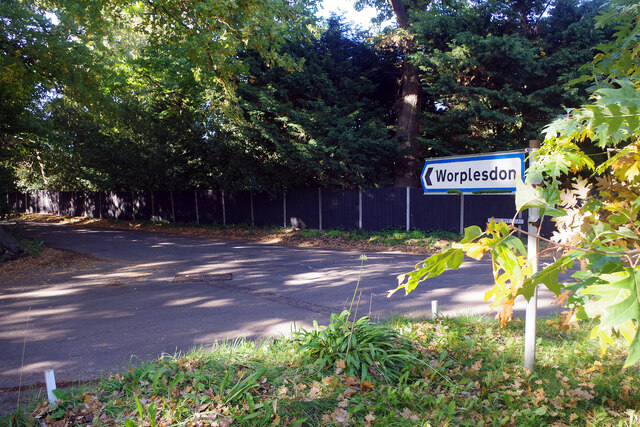
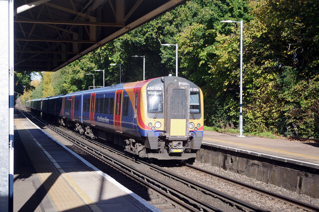
Worplesdon railway station
Worplesdon railway station is a railway station in the Woking district of Surrey, England. The station is located between Woking and Guildford stations...
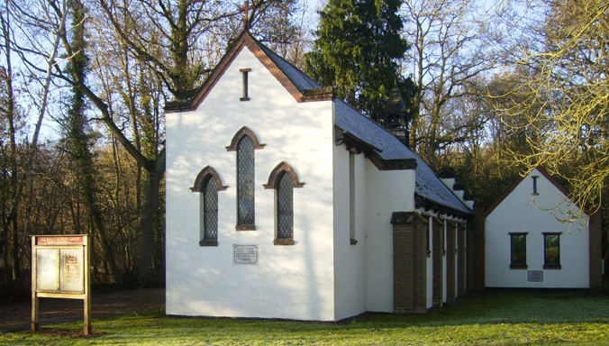
All Souls' Church, Sutton Green
All Souls' Church is located in Sutton Green, Guildford, England. The church is in the Parish of Woking St Peter and the Diocese of Guildford. == History... ==

Smart's and Prey Heaths
Smart's and Prey Heaths is a 39-hectare (96-acre) biological Site of Special Scientific Interest south-west of Woking in Surrey.These mainly damp heaths...
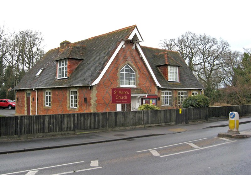
St Mark's Church, Woking
St Mark's Church is located in Westfield, Woking, England. The church is in the Parish of the South Woking Team Ministry and the Diocese of Guildford....
Nearby Amenities
Located within 500m of 51.291431,-0.57042808Have you been to Beech Hill?
Leave your review of Beech Hill below (or comments, questions and feedback).