Pyle Hill
Settlement in Surrey Woking
England
Pyle Hill
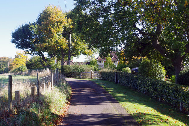
Pyle Hill is a small, picturesque village located in the county of Surrey in England. Situated on the outskirts of the town of Guildford, Pyle Hill is surrounded by rolling countryside and offers breathtaking views of the surrounding landscape. The village is characterized by its peaceful and tranquil atmosphere, making it an ideal retreat for those seeking a quiet escape from the bustling city life.
Pyle Hill is home to a small, close-knit community, with a population of around 500 residents. The village mainly consists of traditional English cottages and houses, adding to its charm and character. The architecture in the area reflects the historical significance of the village, with some buildings dating back several centuries.
The village is well-served by local amenities, including a village hall, a primary school, and a local pub, providing a sense of community and meeting places for residents. The surrounding countryside offers numerous walking and cycling paths, allowing residents and visitors to explore the stunning natural beauty of the area.
Pyle Hill benefits from its proximity to Guildford, which provides a wider range of amenities, including shops, restaurants, and entertainment options. The village is also conveniently located for commuting, with excellent transport links to nearby towns and cities.
Overall, Pyle Hill offers a peaceful and idyllic setting, combined with easy access to larger urban areas, making it a highly desirable place to live or visit for those seeking a quintessential English village experience.
If you have any feedback on the listing, please let us know in the comments section below.
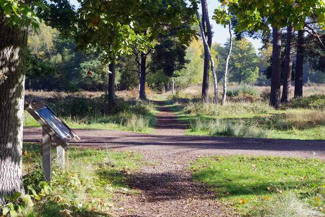
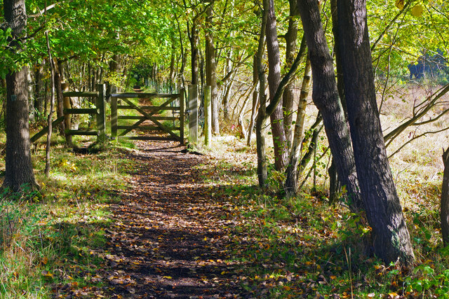
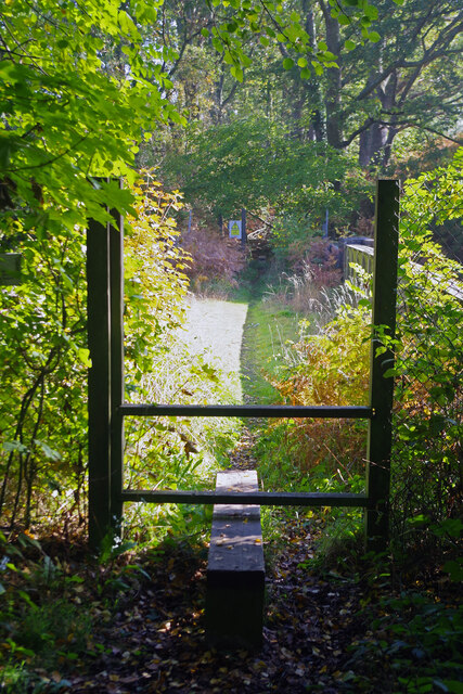
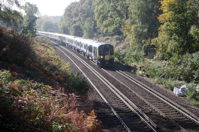
Pyle Hill Images
Images are sourced within 2km of 51.286167/-0.571154 or Grid Reference SU9955. Thanks to Geograph Open Source API. All images are credited.


Pyle Hill is located at Grid Ref: SU9955 (Lat: 51.286167, Lng: -0.571154)
Administrative County: Surrey
District: Woking
Police Authority: Surrey
What 3 Words
///orders.crisp.tamed. Near Send, Surrey
Nearby Locations
Related Wikis
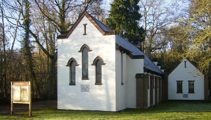
All Souls' Church, Sutton Green
All Souls' Church is located in Sutton Green, Guildford, England. The church is in the Parish of Woking St Peter and the Diocese of Guildford. == History... ==

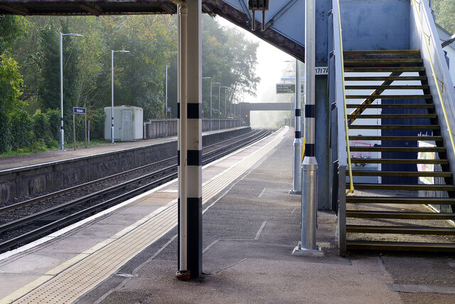
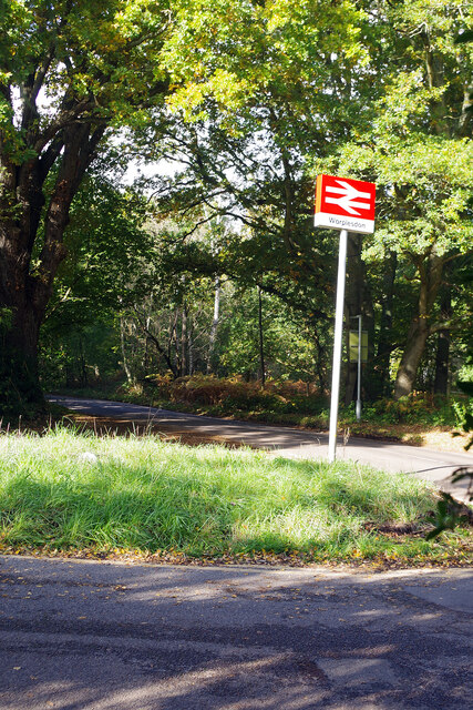
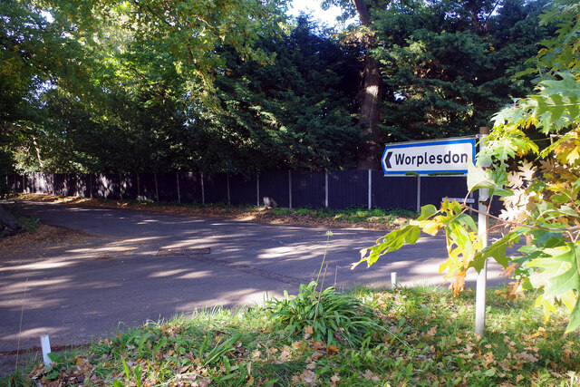
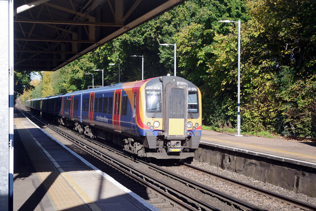
Worplesdon railway station
Worplesdon railway station is a railway station in the Woking district of Surrey, England. The station is located between Woking and Guildford stations...
Westfield Common
Westfield Common is an area of land in Westfield, Woking that is registered common land. == Attributes == Westfield Common has boundaries that have been...
Sutton Green, Surrey
Sutton Green is a semi-rural suburban settlement and area of Metropolitan Green Belt between Guildford and Woking, Surrey. Sutton Green neighbours Jacobs...
Related Videos

Wey Navigation Circular | Virtual Running / Walking | Guildford / Send, Surrey | Treadmill Workout
Scenic countrside virtual trail run / walk with music along the historic National Trust Wey Navigaiton (river / canal) route beginning ...
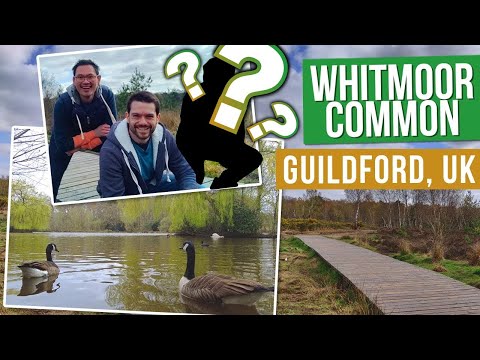
Exploring Whitmoor Common in Guildford with a MYSTERY GUEST!
Spring is in the air and it's time to dust off those walking boots and go for a spring hike! Whitmoor Common and Britten's Pond is a ...

The New Inn at Send
Have you visited the nice outdoors garden by the canal in Send? The New Inn has great food and seating garden area right by the ...

Whitmoor Common Surrey
A walk through Whitmoor common in Surrey discovering new places to walk and take in the amazing scenery.
Nearby Amenities
Located within 500m of 51.286167,-0.571154Have you been to Pyle Hill?
Leave your review of Pyle Hill below (or comments, questions and feedback).