Prey Heath
Wood, Forest in Surrey Woking
England
Prey Heath

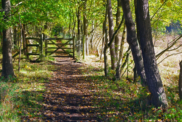
Prey Heath is a picturesque wooded area located in Surrey, England. Stretching across a sprawling landscape, it is known for its enchanting beauty and tranquil ambiance. This forested paradise is nestled between the towns of Woking and Guildford and covers an area of approximately 200 acres.
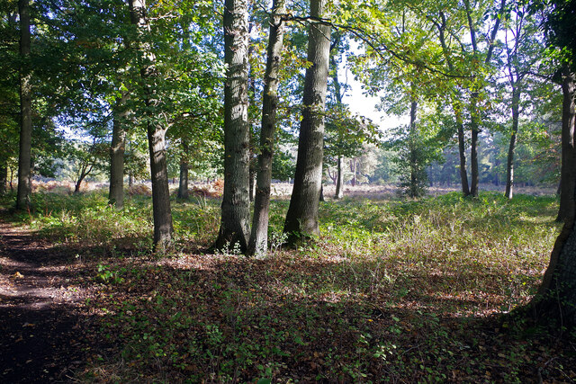
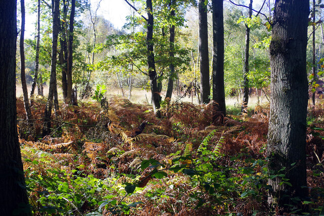
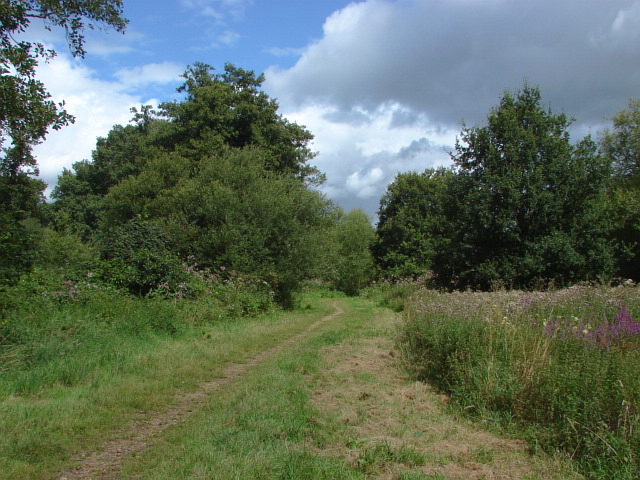
The woodland of Prey Heath is predominantly composed of various species of deciduous and coniferous trees, including oak, birch, beech, and pine. These trees create a dense canopy, providing shade and shelter for a diverse range of flora and fauna. The forest floor is covered with a lush carpet of mosses, ferns, and wildflowers, adding to its natural charm.
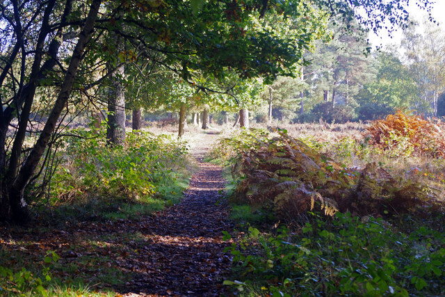
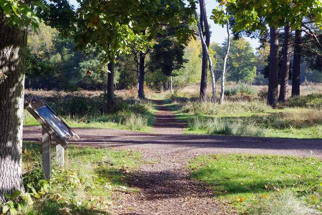
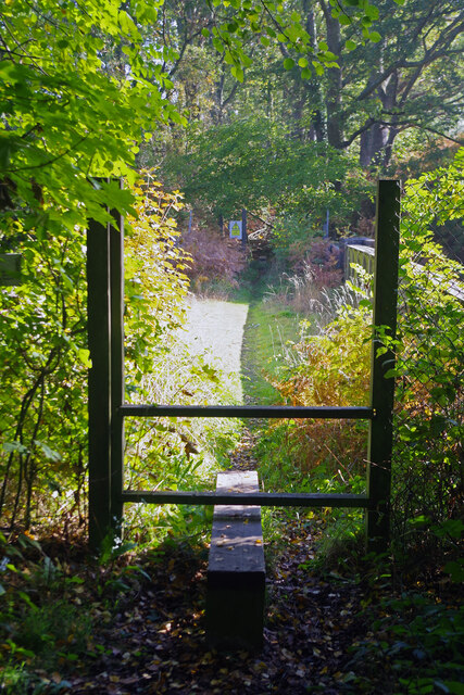
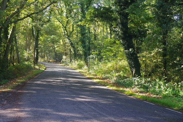
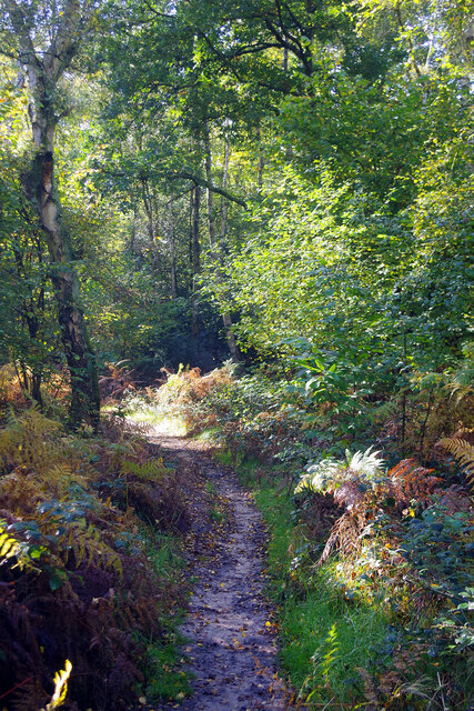
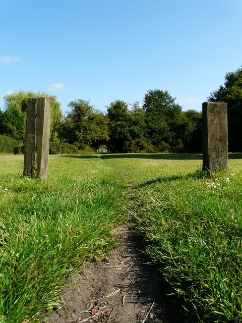
The area attracts nature enthusiasts, hikers, and birdwatchers who come to explore the many trails that wind through the forest. These trails offer breathtaking views of the surrounding countryside and provide opportunities for spotting wildlife, such as deer, foxes, and a variety of bird species.
Prey Heath is also home to a wide range of habitats, including ponds and wetlands, which attract a rich diversity of amphibians, reptiles, and insects. The forest is particularly renowned for its bird population, with species such as woodpeckers, owls, and various songbirds making it their home.
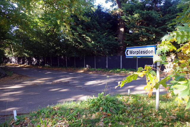
In addition to its natural splendor, Prey Heath holds historical significance. It was once part of the larger Worplesdon Estate and has been designated as a Site of Special Scientific Interest (SSSI) due to its ecological importance.
Overall, Prey Heath in Surrey is a captivating woodland retreat, offering visitors a chance to immerse themselves in nature's beauty and serenity.
If you have any feedback on the listing, please let us know in the comments section below.
Prey Heath Images
Images are sourced within 2km of 51.290468/-0.5785322 or Grid Reference SU9955. Thanks to Geograph Open Source API. All images are credited.


Prey Heath is located at Grid Ref: SU9955 (Lat: 51.290468, Lng: -0.5785322)
Administrative County: Surrey
District: Woking
Police Authority: Surrey
Also known as: Pray Heath
What 3 Words
///tune.deaf.plank. Near Woking, Surrey
Nearby Locations
Related Wikis

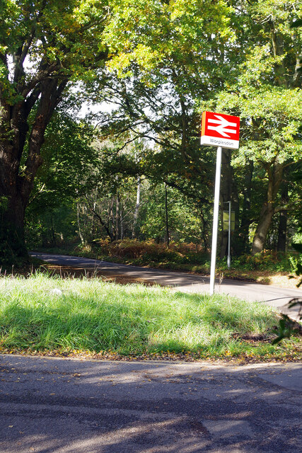
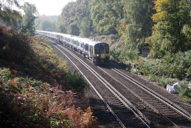
Worplesdon railway station
Worplesdon railway station is a railway station in the Woking district of Surrey, England. The station is located between Woking and Guildford stations...

Smart's and Prey Heaths
Smart's and Prey Heaths is a 39-hectare (96-acre) biological Site of Special Scientific Interest south-west of Woking in Surrey.These mainly damp heaths...
Mayford Meadows
Mayford Meadows is a 4.9-hectare (12-acre) Local Nature Reserve on the southern outskirts of Woking in Surrey. It is owned and managed by Woking Borough...
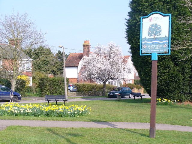
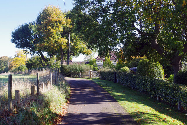
Mayford
Mayford is a village in Woking borough of the county of Surrey, England. It is 3 miles south of Woking on Egley Road, part of the A320 between Woking and...

Hoe Valley School
Hoe Valley School is an outstanding new co-educational, comprehensive, secondary school in Woking, England. The school was established in 2014, and opened...
Westfield Common
Westfield Common is an area of land in Westfield, Woking that is registered common land. == Attributes == Westfield Common has boundaries that have been...
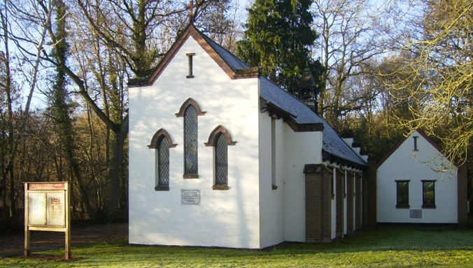
All Souls' Church, Sutton Green
All Souls' Church is located in Sutton Green, Guildford, England. The church is in the Parish of Woking St Peter and the Diocese of Guildford. == History... ==
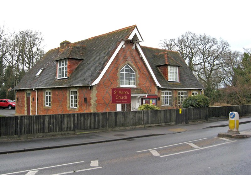
St Mark's Church, Woking
St Mark's Church is located in Westfield, Woking, England. The church is in the Parish of the South Woking Team Ministry and the Diocese of Guildford....
Nearby Amenities
Located within 500m of 51.290468,-0.5785322Have you been to Prey Heath?
Leave your review of Prey Heath below (or comments, questions and feedback).