Pray Heath
Wood, Forest in Surrey Woking
England
Pray Heath

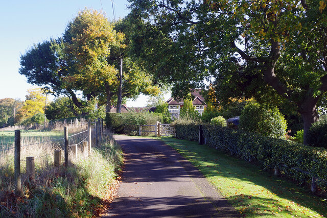
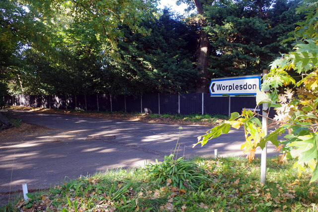
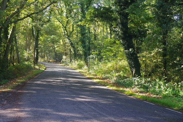
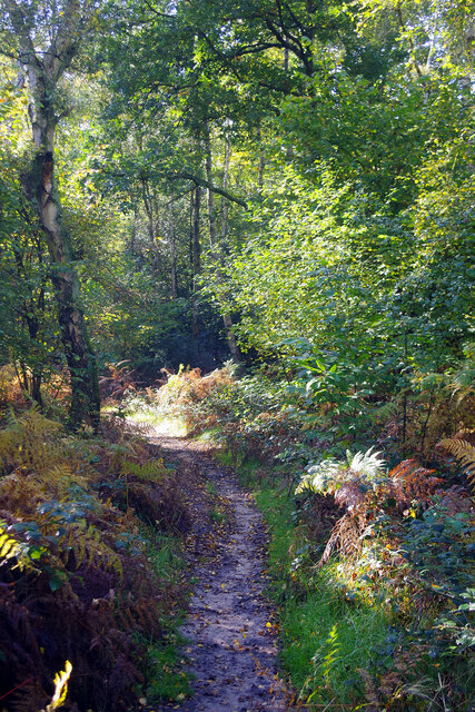
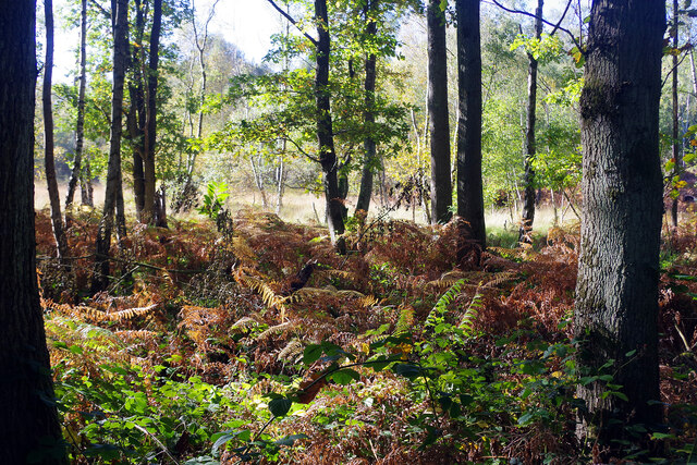
Pray Heath is a small village located in the county of Surrey, England. Situated within the larger area of Wood, Forest, it is known for its picturesque landscapes and tranquil atmosphere. The village is surrounded by lush greenery and is characterized by its dense woodland, making it an ideal destination for nature lovers and outdoor enthusiasts.
The village is home to a tight-knit community, with a population of around 500 residents. Pray Heath is known for its quaint cottages and traditional architecture, giving it a charming and timeless feel. The village is also known for its local amenities, including a village hall, a primary school, and a small convenience store.
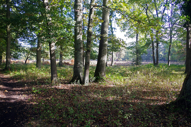
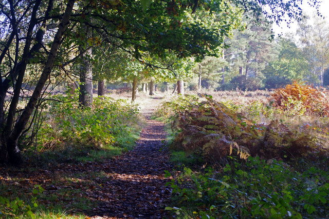
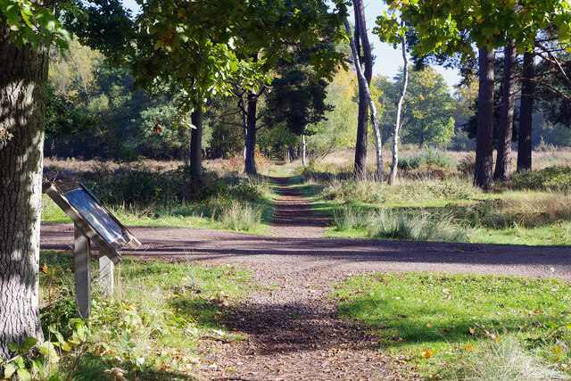
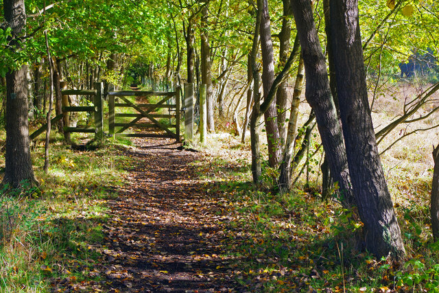
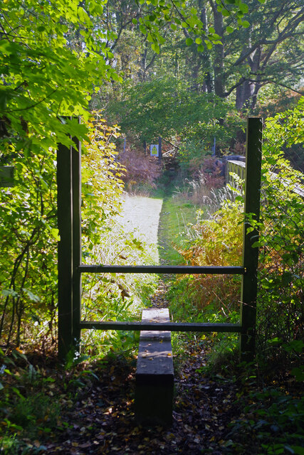
One of the main attractions in Pray Heath is its extensive network of walking trails and nature reserves. The nearby Wood, Forest is a haven for wildlife, with an abundance of native species and diverse ecosystems. Visitors can explore the woodland trails, taking in the sights and sounds of nature.
In addition to its natural beauty, the village also has a rich historical heritage. The area has evidence of human settlement dating back to the prehistoric era, and there are several archaeological sites of interest nearby. Pray Heath is also located in close proximity to other popular attractions in Surrey, such as historic castles, country estates, and charming market towns.
Overall, Pray Heath offers a serene and idyllic setting, combining natural beauty with a strong sense of community. It is a place where residents and visitors can appreciate the wonders of nature and immerse themselves in the rich history of the area.
If you have any feedback on the listing, please let us know in the comments section below.
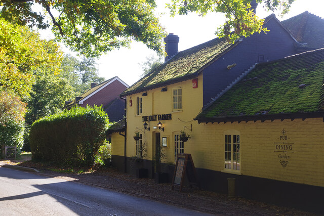
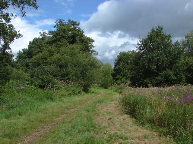
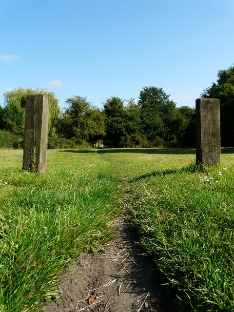
Pray Heath Images
Images are sourced within 2km of 51.290468/-0.5785322 or Grid Reference SU9955. Thanks to Geograph Open Source API. All images are credited.


Pray Heath is located at Grid Ref: SU9955 (Lat: 51.290468, Lng: -0.5785322)
Administrative County: Surrey
District: Woking
Police Authority: Surrey
Also known as: Prey Heath
What 3 Words
///tune.deaf.plank. Near Woking, Surrey
Nearby Locations
Related Wikis

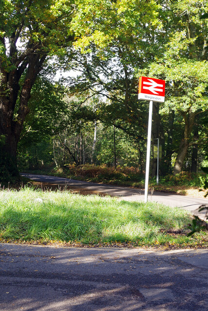
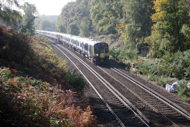
Worplesdon railway station
Worplesdon railway station is a railway station in the Woking district of Surrey, England. The station is located between Woking and Guildford stations...

Smart's and Prey Heaths
Smart's and Prey Heaths is a 39-hectare (96-acre) biological Site of Special Scientific Interest south-west of Woking in Surrey.These mainly damp heaths...
Mayford Meadows
Mayford Meadows is a 4.9-hectare (12-acre) Local Nature Reserve on the southern outskirts of Woking in Surrey. It is owned and managed by Woking Borough...
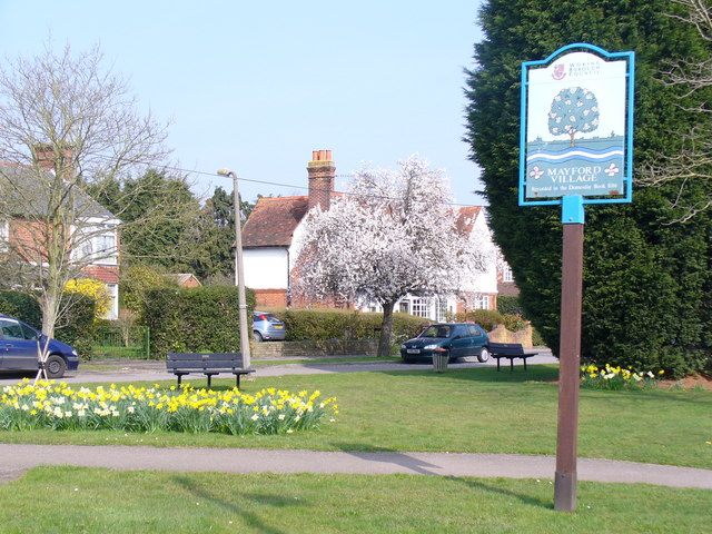
Mayford
Mayford is a village in Woking borough of the county of Surrey, England. It is 3 miles south of Woking on Egley Road, part of the A320 between Woking and...

Hoe Valley School
Hoe Valley School is an outstanding new co-educational, comprehensive, secondary school in Woking, England. The school was established in 2014, and opened...
Westfield Common
Westfield Common is an area of land in Westfield, Woking that is registered common land. == Attributes == Westfield Common has boundaries that have been...
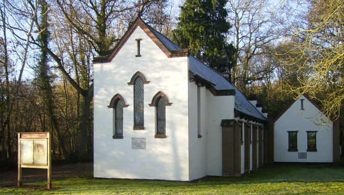
All Souls' Church, Sutton Green
All Souls' Church is located in Sutton Green, Guildford, England. The church is in the Parish of Woking St Peter and the Diocese of Guildford. == History... ==
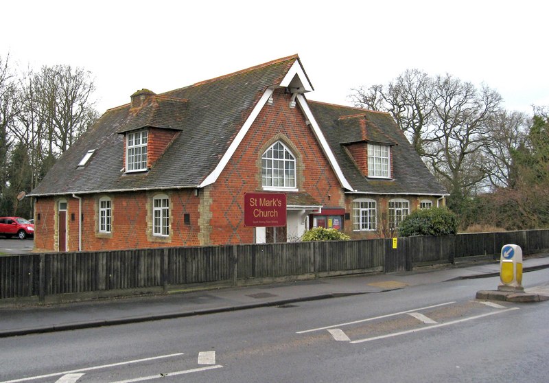
St Mark's Church, Woking
St Mark's Church is located in Westfield, Woking, England. The church is in the Parish of the South Woking Team Ministry and the Diocese of Guildford....
Nearby Amenities
Located within 500m of 51.290468,-0.5785322Have you been to Pray Heath?
Leave your review of Pray Heath below (or comments, questions and feedback).