Bury Hill

Hill, Mountain in Sussex Chichester

England

Bury Hill

View NW towards Bignor Hill I took this from the South Downs Way.
View NW towards Bignor Hill Credit: Ian Cunliffe

Bury Hill, located in Sussex, England, is a prominent and picturesque hill that forms part of the South Downs, a range of chalk hills stretching across southern England. With an elevation of 213 meters (699 feet), it is not classified as a mountain but rather as a hill.

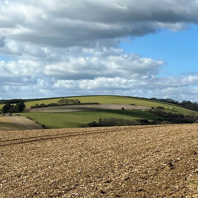
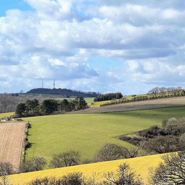
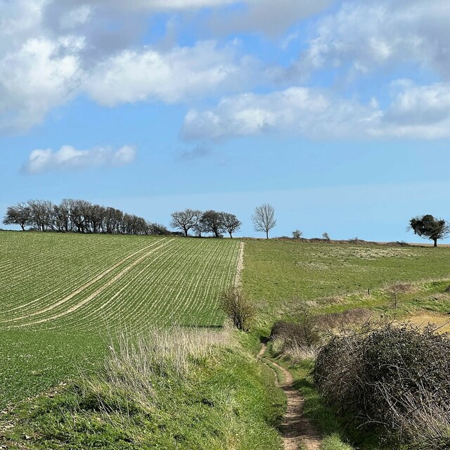
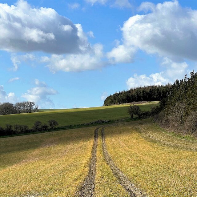
Bury Hill is renowned for its outstanding natural beauty and panoramic views. From its summit, visitors can enjoy breathtaking vistas of the surrounding countryside, including the rolling green hills, charming villages, and patchwork fields. On a clear day, the view extends as far as the English Channel, providing a stunning backdrop.

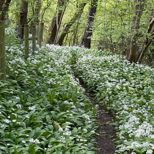
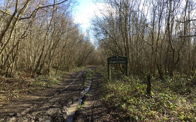
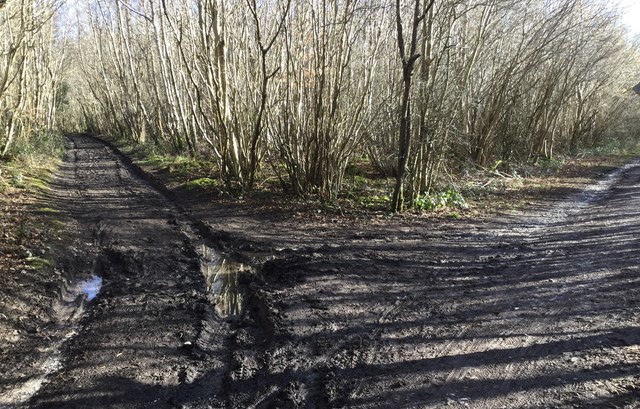
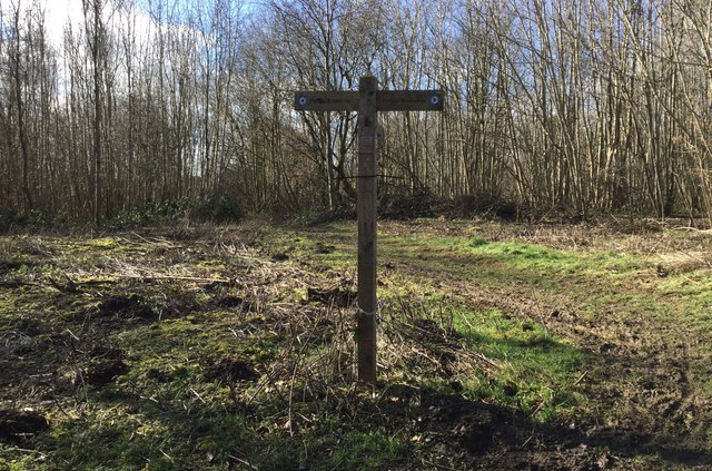
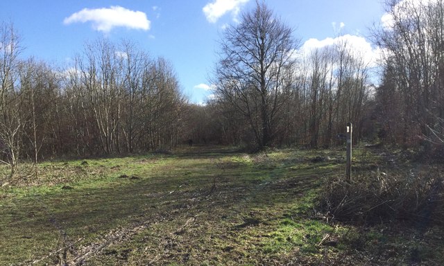
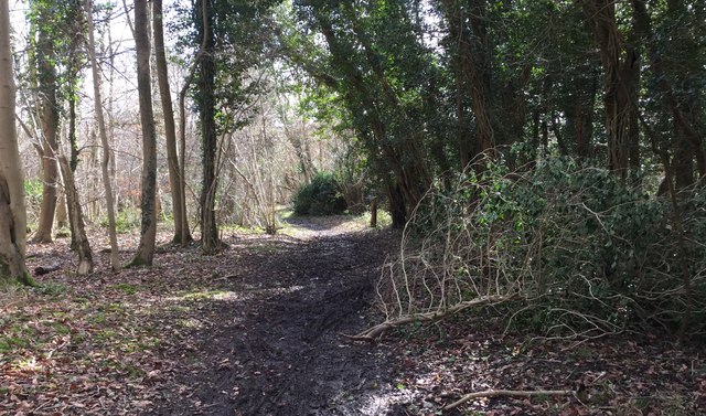
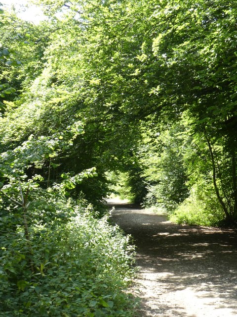
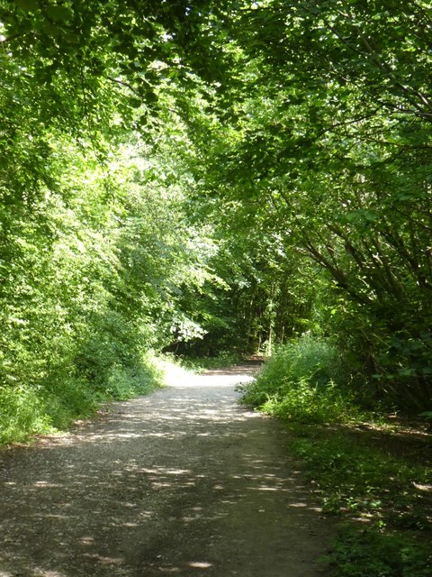
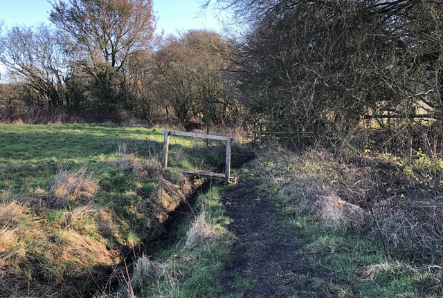
The hill is a popular destination for nature enthusiasts and outdoor adventurers. Its vast and diverse landscape offers opportunities for walking, hiking, and cycling, with numerous trails and footpaths to explore. The area is also rich in wildlife, with a variety of birds, butterflies, and wildflowers that thrive in the chalk grasslands.

History enthusiasts will find interest in Bury Hill as well. The hill is home to an Iron Age hillfort, which served as a defensive settlement during ancient times. The remnants of the fortifications can still be seen today, adding an extra layer of intrigue to the site.

Bury Hill is easily accessible, with nearby parking facilities and public transportation options. Its natural beauty, recreational activities, and historical significance make it a must-visit destination for both locals and tourists seeking an escape into the idyllic Sussex countryside.

If you have any feedback on the listing, please let us know in the comments section below.
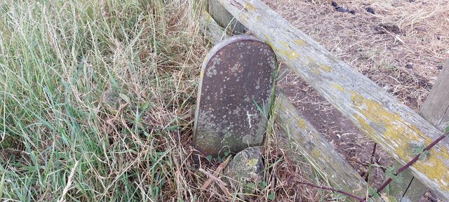
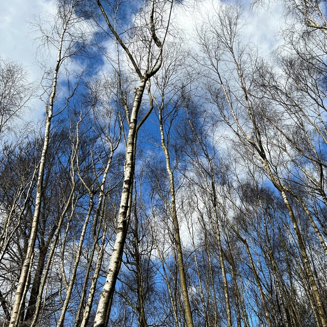
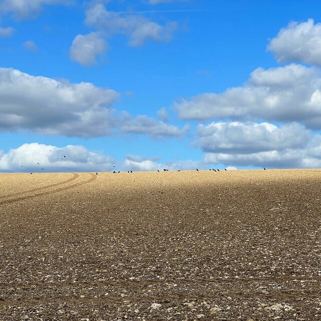
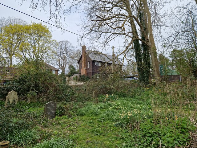
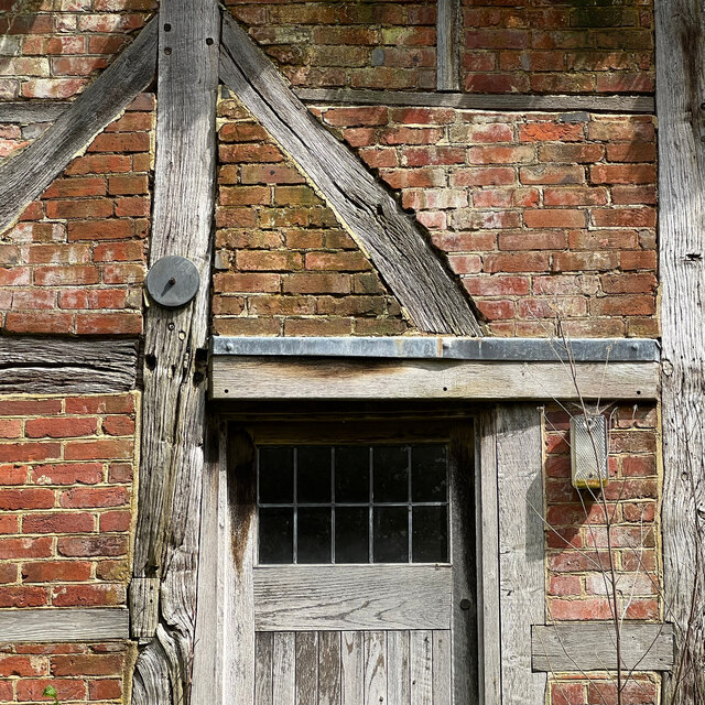
Bury Hill Images

Images are sourced within 2km of 50.905323/-0.58238523 or Grid Reference SU9912. Thanks to Geograph Open Source API. All images are credited.

View NW towards Bignor Hill I took this from the South Downs Way.
View NW towards Bignor Hill
I took this from the South Downs Way.
View WNW towards Glatting Beacon You can see the communications masts on Glatting Beacon. I took this photo from the South Downs Way.
View WNW towards Glatting Beacon
You can see the communications masts on Glatting Beacon. I took this photo from the South Downs Way.
View ESE towards Bury Hill I took this from the South Downs Way.
View ESE towards Bury Hill
I took this from the South Downs Way.
View WNW from a point west of King's Buildings I was a little south of the marked bridleway when I took this photo. It's difficult to find and follow the bridleway. An obvious track cuts across the field to the south of it - so I followed that.
View WNW from a point west of King's Buildings
I was a little south of the marked bridleway when I took this photo. It's difficult to find and follow the bridleway. An obvious track cuts across the field to the south of it - so I followed that.
Old Boundary Marker on Bignor Hill Estate Boundary Marker beside a wooden fence and the South Downs Way close to Toby's Stone monument. F (vertical line) L in raised lettering on north face. On the boundary of Bignor and Bury parishes but reported as an estate boundary marker on the Slindon Estate by the National Trust. Not shown on OS maps before 1914. 

Milestone Society National ID: SX_BIGBUR01em
Old Boundary Marker on Bignor Hill
Estate Boundary Marker beside a wooden fence and the South Downs Way close to Toby's Stone monument. F (vertical line) L in raised lettering on north face. On the boundary of Bignor and Bury parishes but reported as an estate boundary marker on the Slindon Estate by the National Trust. Not shown on OS maps before 1914. Milestone Society National ID: SX_BIGBUR01em
Birches near the edge of Houghton Forest
Farmland between the A29 and Houghton Forest I thought the birds in the distance added a little interest to this scene. This flinty soil is typical of that on the South Downs. Somewhere in the direction of the photo there's an antiquity marked as "The Mill Ball" on the OS Map. Apparently it's a "bowl barrow", but it doesn't appear in this shot.
Farmland between the A29 and Houghton Forest
I thought the birds in the distance added a little interest to this scene. This flinty soil is typical of that on the South Downs. Somewhere in the direction of the photo there's an antiquity marked as "The Mill Ball" on the OS Map. Apparently it's a "bowl barrow", but it doesn't appear in this shot.
Daffodils in Bury Churchyard
Sydenham Cottage This cottage seemed unlived-in - which, I imagine, is unusual in a prosperous village like West Burton.
Sydenham Cottage
This cottage seemed unlived-in - which, I imagine, is unusual in a prosperous village like West Burton.
Wild garlic by the West Sussex Literary Trail There was an abundance of wild garlic (ramsons) hereabouts - though oddly you could hardly smell it. I guess the strength of the smell depends on the flowering stage that the plant has reached?
Wild garlic by the West Sussex Literary Trail
There was an abundance of wild garlic (ramsons) hereabouts - though oddly you could hardly smell it. I guess the strength of the smell depends on the flowering stage that the plant has reached?
Houghton Forest Entering Houghton Forest at the North West corner.
Houghton Forest
Entering Houghton Forest at the North West corner.
Tracks in Houghton Forest Some of the many forest tracks encountered in Houghton Forest.
Tracks in Houghton Forest
Some of the many forest tracks encountered in Houghton Forest.
Path Junction in Houghton Forest A path leading off the Monarch’s Way in Houghton Forest.
Path Junction in Houghton Forest
A path leading off the Monarch’s Way in Houghton Forest.
Monarch’s Way At this point in Houghton Forest the Monarch’s Way forks off to the left.
Monarch’s Way
At this point in Houghton Forest the Monarch’s Way forks off to the left.
Bridleway on the edge of Houghton Forest On the Bridleway passing beside the western edge of Houghton Forest.
Bridleway on the edge of Houghton Forest
On the Bridleway passing beside the western edge of Houghton Forest.
Cycle track in Houghton Forest
Cycle track in Houghton Forest (2)
Footbridge over small stream The footbridge carries the West Sussex Literary Trail across a small stream on the way to West Burton.
Footbridge over small stream
The footbridge carries the West Sussex Literary Trail across a small stream on the way to West Burton.
Show me another place!

Bury Hill is located at Grid Ref: SU9912 (Lat: 50.905323, Lng: -0.58238523)

Administrative County: West Sussex

District: Chichester

Police Authority: Sussex

What 3 Words

///aimless.starfish.zips. Near Arundel, West Sussex

Nearby Locations

Westburton Hill Bury Hill

Related Wikis

Bury Hill, Arundel

Bury Hill is an area of West Sussex, England, north of Arundel and southwest of Bury. In the 18th century, its name may have sometimes been spelled Berry...

West Burton, West Sussex

West Burton is a small hamlet in the Parish of Bury and the Chichester district of West Sussex, England. It lies between Bignor and Bury on the Lower Greensand...

Bury, West Sussex

Bury is a village and civil parish in the Chichester district of West Sussex, England. It is located on the A29 road, around 5 miles (8 km) south-west...

Bignor Hill

Bignor Hill is a hill near Bignor in Sussex. The South Downs Way passes over the hill. Near the summit are the remains of a memorial to Toby Wentworth...

Dorset House School

Dorset House School is a co-educational preparatory school near Pulborough in West Sussex, England. == History == The school was founded in 1784 as Totteridge...

Bignor Roman Villa

Bignor Roman Villa is a large Roman courtyard villa which has been excavated and put on public display on the Bignor estate in the English county of West...

Barkhale Camp

Barkhale Camp is a Neolithic causewayed enclosure, an archaeological site on Bignor Hill, on the South Downs in West Sussex, England. Causewayed enclosures...

Bignor

Bignor is a village and civil parish in the Chichester district of the English county of West Sussex, about six miles (9.7 km) north of Arundel. It is...

Nearby Amenities

Located within 500m of 50.905323,-0.58238523
Westburton Hill
Natural: peak
Source: npe
Lat/Long: 50.9079206/-0.5855319
Bury Hill
Natural: peak
Source: npe
Wikidata: Q19871749
Lat/Long: 50.9028599/-0.577378
The data included in this document is from www.openstreetmap.org. The data is made available under ODbL.

Have you been to Bury Hill?

Leave your review of Bury Hill below (or comments, questions and feedback).