Kirby Knowle

Settlement in Yorkshire Hambleton

England

Kirby Knowle

Track to the house at Pale Dike
Track to the house at Pale Dike Credit: Gordon Brown

Kirby Knowle is a small village located in the Hambleton district of North Yorkshire, England. Situated approximately 7 miles southwest of Thirsk, it is nestled in the picturesque countryside of the Yorkshire Dales National Park. The village is home to a population of around 200 residents.

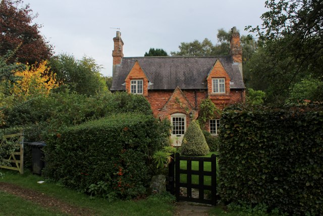
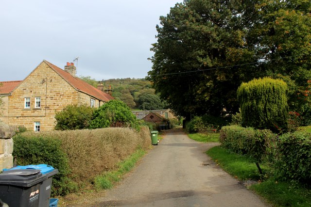
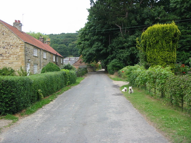
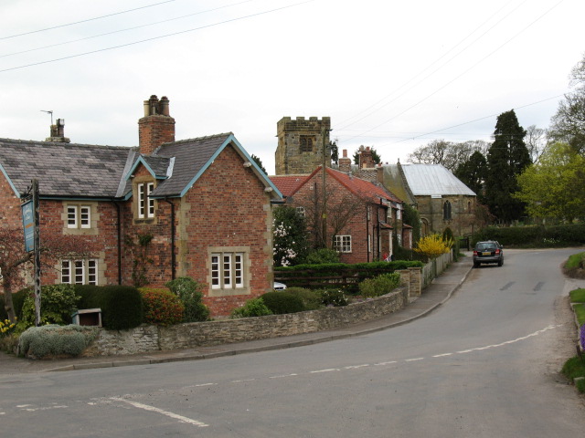
Kirby Knowle is known for its quaint and traditional charm, with a collection of stone cottages and a historic church, St. Wilfrid's, dating back to the 12th century. The church's architecture showcases Norman and Gothic elements, making it a fascinating site for history enthusiasts.

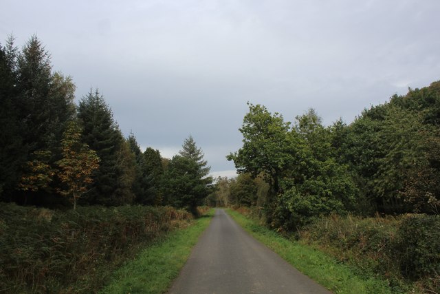
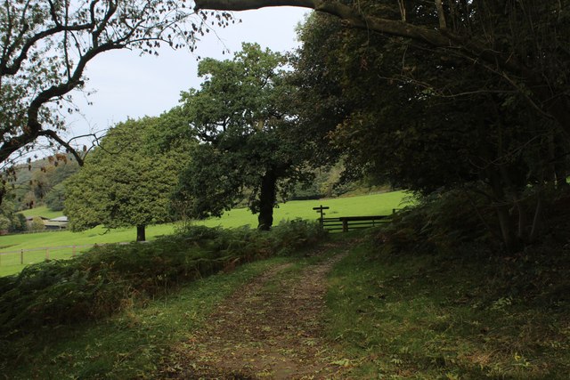
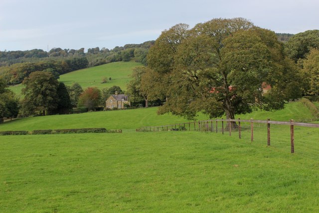
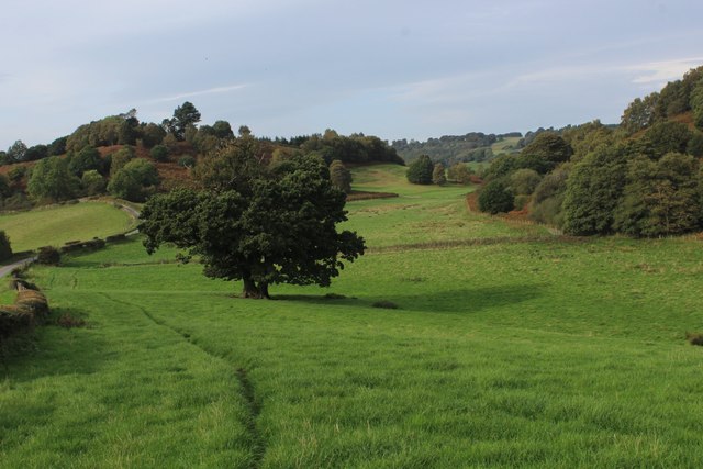
The village is surrounded by rolling hills and scenic landscapes, making it an ideal destination for outdoor activities such as hiking and cycling. The nearby Kirby Knowle Castle, a privately owned estate, adds to the village's allure. Its stunning grounds provide a peaceful retreat for locals and visitors alike.

Despite its small size, Kirby Knowle boasts a strong sense of community, with various social events and gatherings held throughout the year. The village pub, The Blacksmiths Arms, serves as a hub for locals to come together and enjoy a pint or a hearty meal.

For amenities, residents rely on nearby towns such as Thirsk for shopping, healthcare, and education. The village is well-connected by road, with the A19 passing nearby, providing easy access to larger cities like York and Middlesbrough.

In summary, Kirby Knowle offers a peaceful and idyllic setting for those seeking rural living in the heart of Yorkshire. Its rich history, natural beauty, and close-knit community make it a truly charming place to call home.

If you have any feedback on the listing, please let us know in the comments section below.
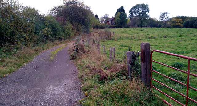
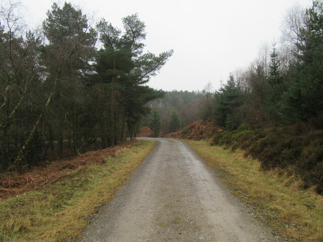
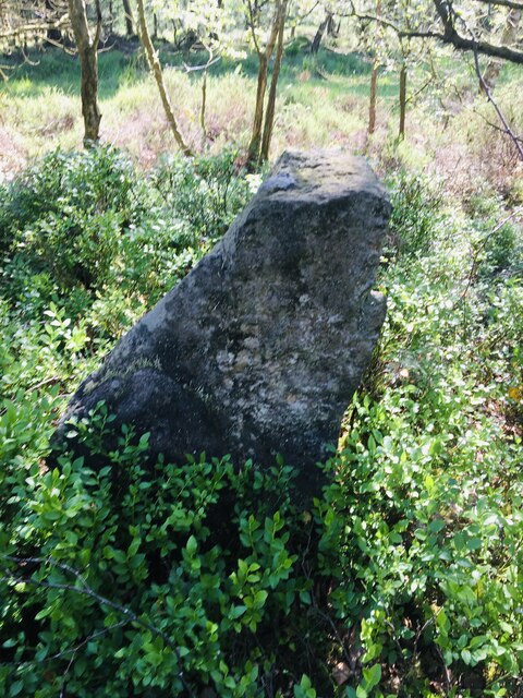
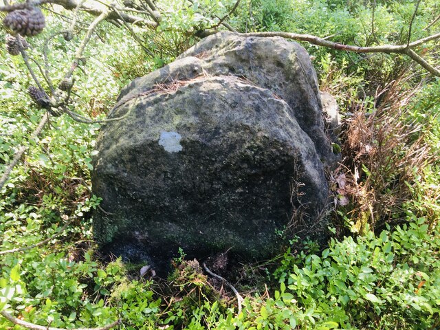
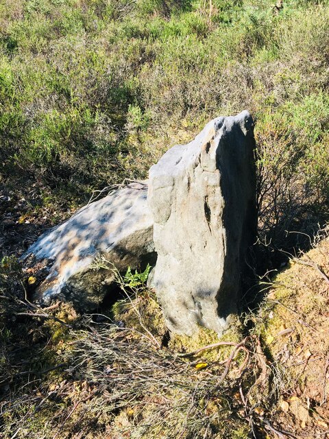
Kirby Knowle Images

Images are sourced within 2km of 54.27828/-1.283013 or Grid Reference SE4687. Thanks to Geograph Open Source API. All images are credited.

Track to the house at Pale Dike
Ruin in Boltby Forest A ruined building in Boltby Forest.
Ruin in Boltby Forest
A ruined building in Boltby Forest.
Kirby Knowle Moor Part of Boltby Forest.
Kirby Knowle Moor
Part of Boltby Forest.
The Gurtof valley The valley of Gurtof Beck in Boltby Forest.
The Gurtof valley
The valley of Gurtof Beck in Boltby Forest.
Track in Boltby Forest A gravel track in Boltby Forest.
Track in Boltby Forest
A gravel track in Boltby Forest.
Old Boundary Marker on Kirby Knowle Moor Boundary Marker on Kirby Knowle Moor, 240 metres south of Cote Hill. On the boundary of Kirby Knowle and Boltby parishes.

Milestone Society National ID: YN_KKNBO01bm
Old Boundary Marker on Kirby Knowle Moor
Boundary Marker on Kirby Knowle Moor, 240 metres south of Cote Hill. On the boundary of Kirby Knowle and Boltby parishes. Milestone Society National ID: YN_KKNBO01bm
Old Boundary Marker on Kirby Knowle Moor Boundary Marker on Kirby Knowle Moor, 480 metres south of Cote Hill. On the boundary of Kirby Knowle and Boltby parishes.

Milestone Society National ID: YN_KKNBO02bm
Old Boundary Marker on Kirby Knowle Moor
Boundary Marker on Kirby Knowle Moor, 480 metres south of Cote Hill. On the boundary of Kirby Knowle and Boltby parishes. Milestone Society National ID: YN_KKNBO02bm
Old Boundary Marker on Kirby Knowle Moor Boundary Marker on Kirby Knowle Moor, 830 metres south of Cote Hill. On the boundary of Kirby Knowle and Boltby parishes.

Milestone Society National ID: YN_KKNBO03bm
Old Boundary Marker on Kirby Knowle Moor
Boundary Marker on Kirby Knowle Moor, 830 metres south of Cote Hill. On the boundary of Kirby Knowle and Boltby parishes. Milestone Society National ID: YN_KKNBO03bm
Old Boundary Marker on Kirby Knowle Moor Boundary Marker on Kirby Knowle Moor, 920 metres south of Cote Hill. On the boundary of Kirby Knowle and Boltby parishes.

Milestone Society National ID: YN_KKNBO04bm
Old Boundary Marker on Kirby Knowle Moor
Boundary Marker on Kirby Knowle Moor, 920 metres south of Cote Hill. On the boundary of Kirby Knowle and Boltby parishes. Milestone Society National ID: YN_KKNBO04bm
Old Boundary Marker on Kirby Knowle Moor Boundary Marker on Kirby Knowle Moor, 1070 metres south of Cote Hill. On the boundary of Kirby Knowle and Boltby parishes.

Milestone Society National ID: YN_KKNBO05bm
Old Boundary Marker on Kirby Knowle Moor
Boundary Marker on Kirby Knowle Moor, 1070 metres south of Cote Hill. On the boundary of Kirby Knowle and Boltby parishes. Milestone Society National ID: YN_KKNBO05bm
Bridleway on Kirby Knowle Moor
Brickshed Cottage Isolated dwelling located at the foot of the North York Moors escarpment and below Boltby Forest.
Brickshed Cottage
Isolated dwelling located at the foot of the North York Moors escarpment and below Boltby Forest.
Ruddings Lane Section of quiet country lane between Kirby Knowle and Cowesby - outside Brickshed Cottage
Ruddings Lane
Section of quiet country lane between Kirby Knowle and Cowesby - outside Brickshed Cottage
Ingdale Lane in Gutta Wood Section of quiet country lane between Kirby Knowle and Cowesby
Ingdale Lane in Gutta Wood
Section of quiet country lane between Kirby Knowle and Cowesby
On the Edge of Wind Egg Plantation What a wonderful name for a stretch of woodland!
Here, a footpath on the edge of the plantation is approaching a fingerpost pointing in four directions - two routes arrive in Kirby Knowle, a bridleway takes a circuitous route to Boltby and the final path aims for West Acre Lodge.
On the Edge of Wind Egg Plantation
What a wonderful name for a stretch of woodland! Here, a footpath on the edge of the plantation is approaching a fingerpost pointing in four directions - two routes arrive in Kirby Knowle, a bridleway takes a circuitous route to Boltby and the final path aims for West Acre Lodge.
Whinmoor Hill Access lane leading up to Manor House Farm in Kirby Knowle
Whinmoor Hill
Access lane leading up to Manor House Farm in Kirby Knowle
Footpath heading down to Kirby Knowle The footpath follows the fence towards the village of Kirby Knowle from Wind Egg Plantation
Footpath heading down to Kirby Knowle
The footpath follows the fence towards the village of Kirby Knowle from Wind Egg Plantation
Footpath heading for Knowle Hill The visible footpath through this pasture appears to have gone offline when compared to the map. However it does command a fine rural view looking to the north west
Footpath heading for Knowle Hill
The visible footpath through this pasture appears to have gone offline when compared to the map. However it does command a fine rural view looking to the north west
Show me another place!

Kirby Knowle is located at Grid Ref: SE4687 (Lat: 54.27828, Lng: -1.283013)

Division: North Riding

Administrative County: North Yorkshire

District: Hambleton

Police Authority: North Yorkshire

What 3 Words

///haystack.noble.linked. Near Thirsk, North Yorkshire

Related Wikis

Kirby Knowle

Kirby Knowle is a village and civil parish in Hambleton District of North Yorkshire, England, on the border of the North Yorkshire Moors and near Upsall...

Upsall Castle

Upsall Castle is a fourteenth-century ruin, park and manor house in Upsall, in the Hambleton district of North Yorkshire, England. == History == Some records...

Upsall

Upsall is a hamlet in and civil parish in the Hambleton district of North Yorkshire, England. It is situated approximately four miles north-east of Thirsk...

Holy Trinity Church, Boltby

Holy Trinity Church, Boltby is a parish church in the Church of England: 81  in Boltby. == History == The first chapel was founded in 1409 and was rebuilt...

Boltby

Boltby is a village and civil parish in the Hambleton District of North Yorkshire, England. It is on the edge of the North York Moors National Park at...

Mount St. John Preceptory

Mount St. John Preceptory was a preceptory of the Knights Hospitallers near Felixkirk in North Yorkshire, England. == History == A preceptory to the honour...

Felixkirk

Felixkirk is a village and civil parish in the Hambleton District of North Yorkshire, England. The village is situated about three miles north-east of...

Cowesby

Cowesby is a village and civil parish in the Hambleton District of North Yorkshire, England. Part of the village including The Cowesby Hall Estate is within...

Nearby Amenities

Located within 500m of 54.27828,-1.283013
Kirby Knowle
Place: village
Wikidata: Q6414935
Wikipedia: en:Kirby Knowle
Lat/Long: 54.2795811/-1.2802046
Knowle Hill
Ele: 192
Natural: peak
Source Ele: contour interpolation
Lat/Long: 54.2749482/-1.2798711
Manor House Farm
Place: farm
Lat/Long: 54.2803118/-1.2787206
Paradise Farm
Place: farm
Lat/Long: 54.2763411/-1.284468
Thorncliff Villa
Place: farm
Lat/Long: 54.2756426/-1.2822124
Post Box
Collection Times: Mo-Fr 16:15; Sa 09:30
Post Box Type: wall
Ref: YO7 1
Royal Cypher: EIIR
Royal Cypher Wikidata: Q33102113
Lat/Long: 54.2796291/-1.2801226
Barrier: stile
Step Count: 1
Stile: stepover
Lat/Long: 54.2755804/-1.276954
Information: route_marker
Tourism: information
Lat/Long: 54.2776887/-1.2774926
Bench
Lat/Long: 54.277682/-1.2775147
The data included in this document is from www.openstreetmap.org. The data is made available under ODbL.

Have you been to Kirby Knowle?

Leave your review of Kirby Knowle below (or comments, questions and feedback).