Kirby Hill
Settlement in Yorkshire Richmondshire
England
Kirby Hill
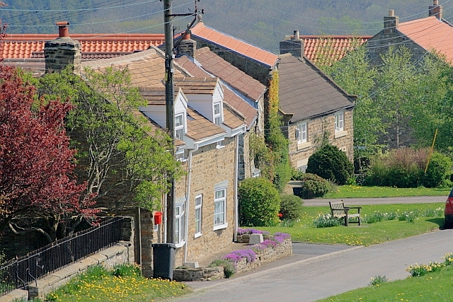
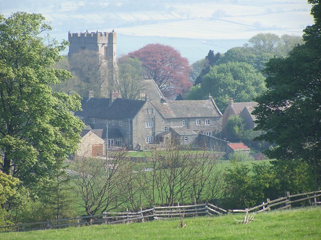
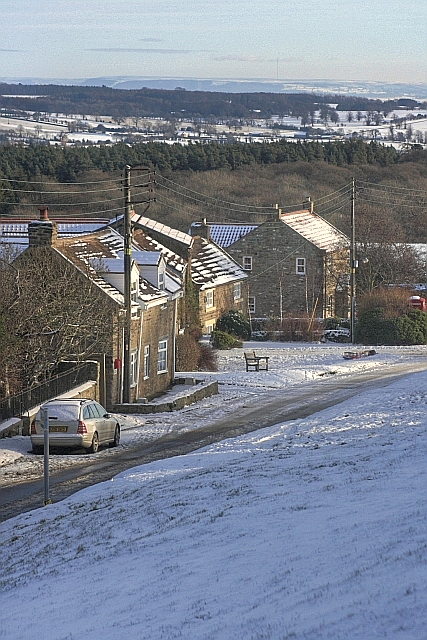
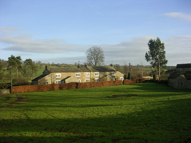
Kirby Hill is a small village located in the Harrogate district of North Yorkshire, England. Situated approximately 5 miles northwest of the town of Boroughbridge, it lies in the picturesque Vale of York. With a population of around 200 residents, the village exudes a close-knit community atmosphere.
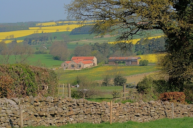
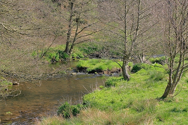
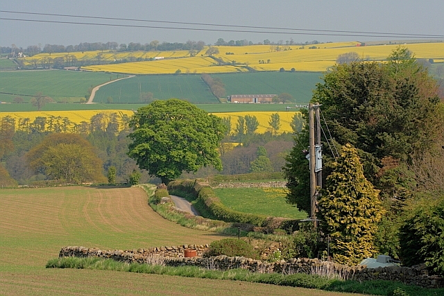
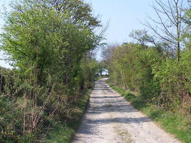
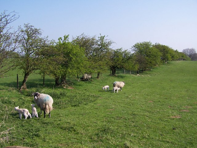
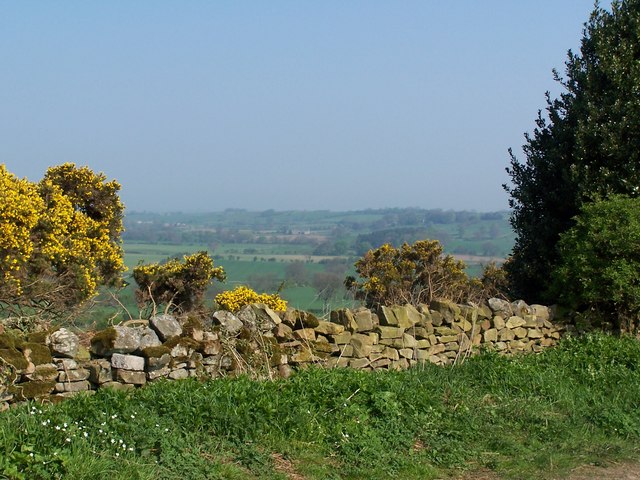
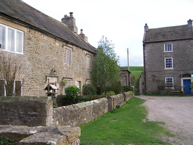
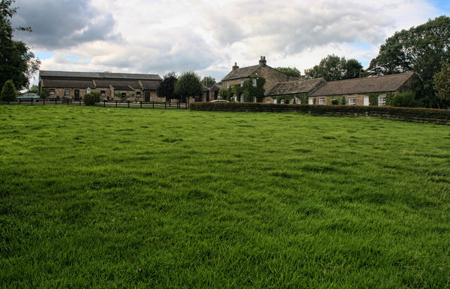
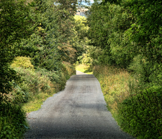
The village is known for its charming rural surroundings, with rolling farmland and scenic green spaces. It offers a peaceful and idyllic setting, attracting those seeking a tranquil lifestyle away from the hustle and bustle of larger towns and cities. The stunning countryside surrounding Kirby Hill provides ample opportunities for outdoor activities such as hiking, cycling, and birdwatching.
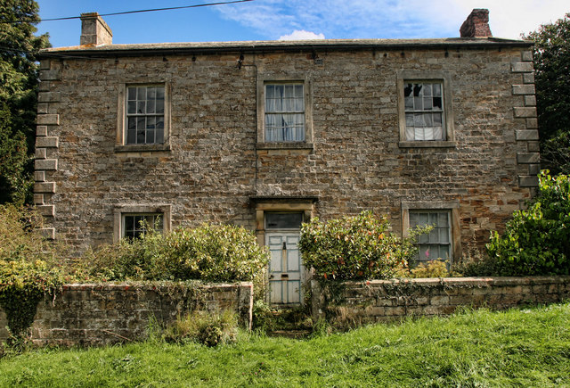
Kirby Hill is home to a historic church, St. Peter's Church, which dates back to the 12th century. The church boasts beautiful architectural features, including a Norman doorway and an elegant spire. It serves as a focal point for religious and community events.
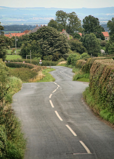
While Kirby Hill does not have its own school or shop, it benefits from its close proximity to neighboring towns and villages, such as Boroughbridge and Ripon, which offer a range of amenities including schools, shops, and healthcare facilities. The village has good transport links, with easy access to major road networks, making it convenient for commuters.
Overall, Kirby Hill is a peaceful and picturesque village, offering a tranquil rural lifestyle within easy reach of essential amenities. Its beautiful surroundings and strong sense of community make it an attractive place to reside.
If you have any feedback on the listing, please let us know in the comments section below.
Kirby Hill Images
Images are sourced within 2km of 54.454537/-1.7858239 or Grid Reference NZ1306. Thanks to Geograph Open Source API. All images are credited.

Kirby Hill is located at Grid Ref: NZ1306 (Lat: 54.454537, Lng: -1.7858239)
Division: North Riding
Administrative County: North Yorkshire
District: Richmondshire
Police Authority: North Yorkshire
What 3 Words
///dozens.armrests.remain. Near Hutton Magna, Co. Durham
Nearby Locations
Related Wikis

Kirby Hill, Richmondshire
Kirby Hill, historically also known as Kirby-on-the-Hill, is a village and civil parish in the Richmondshire district of North Yorkshire, England. The...

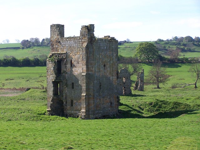
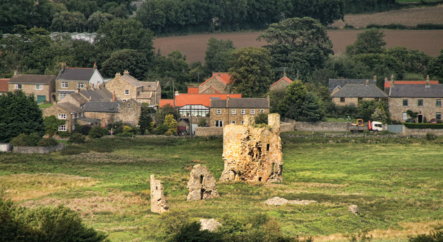
Ravensworth Castle (North Yorkshire)
Ravensworth Castle is a ruined 14th-century castle in the village of Ravensworth, North Yorkshire, England. It has been designated a Grade I listed building...
Whashton
Whashton is a village and civil parish in the Richmondshire district of North Yorkshire, England. == History == The name is of an uncertain origin and...

Ravensworth
Ravensworth is a village and civil parish in the Holmedale valley, within the Richmondshire district of North Yorkshire, England. It is approximately...

Gayles, North Yorkshire
Gayles is a village and civil parish in the Richmondshire district of North Yorkshire, England. Gayles is established in the district ward of Gilling West...

Dalton, west North Yorkshire
Dalton is a village and civil parish in North Yorkshire in England. Dalton is situated about six miles north-west of Richmond and about five miles south...

West Layton
West Layton is a village and civil parish in the Richmondshire district of North Yorkshire, England, close to the border with County Durham and a few miles...
Hartforth
Hartforth is a small village in the Richmondshire district of North Yorkshire, England. The village is situated approximately 9 miles (14 km) south-west...
Nearby Amenities
Located within 500m of 54.454537,-1.7858239Have you been to Kirby Hill?
Leave your review of Kirby Hill below (or comments, questions and feedback).