Kirby Hill
Civil Parish in Yorkshire Richmondshire
England
Kirby Hill
Kirby Hill is a civil parish located in the district of Harrogate, in the county of Yorkshire, England. It is situated approximately 4 miles northwest of the town of Boroughbridge. The parish covers an area of about 1,034 acres and has a population of around 200 people.
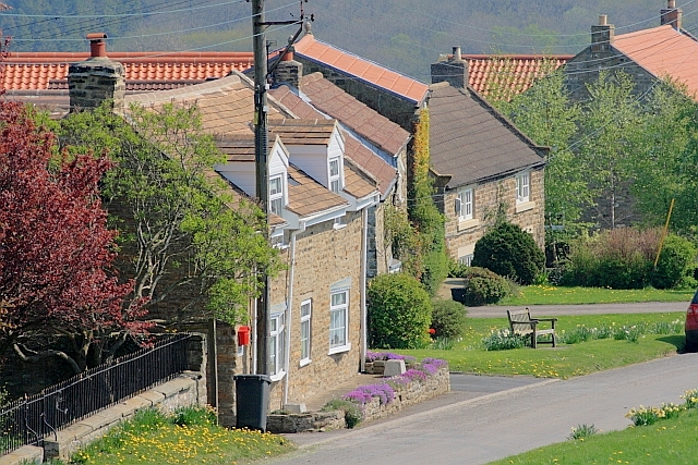
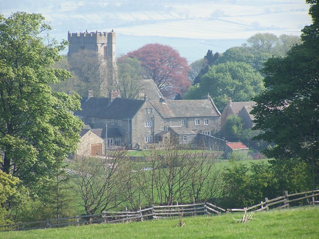
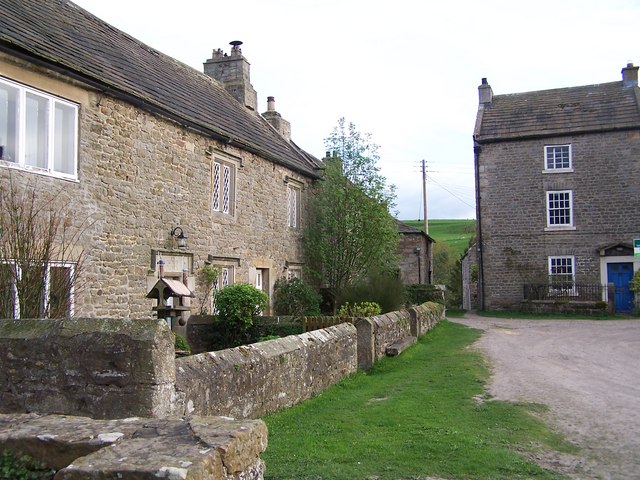
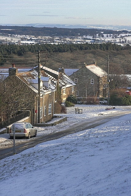
Kirby Hill is a rural village with a rich history dating back centuries. The name "Kirby Hill" is derived from the Old Norse words "kirkja," meaning church, and "haugr," meaning hill. This suggests the presence of a church on a hill in the area during Viking times.
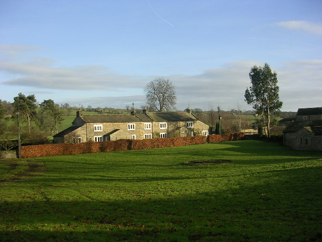
The village is dominated by the All Saints Church, a Grade I listed building that dates back to the 14th century. The church is known for its beautiful stained glass windows and medieval architecture, attracting visitors from near and far.
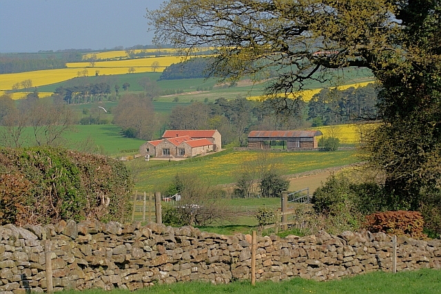
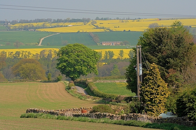
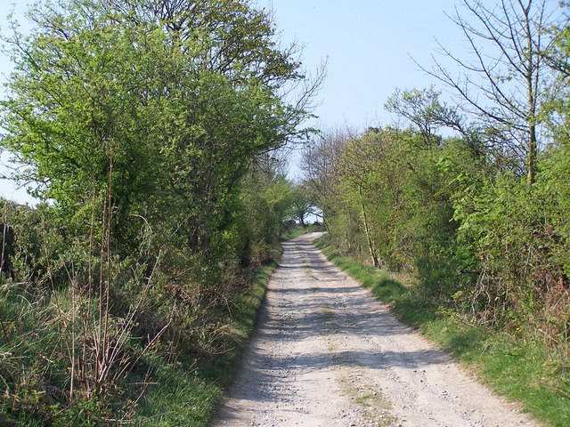
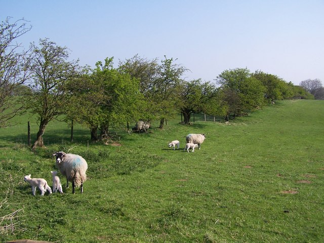
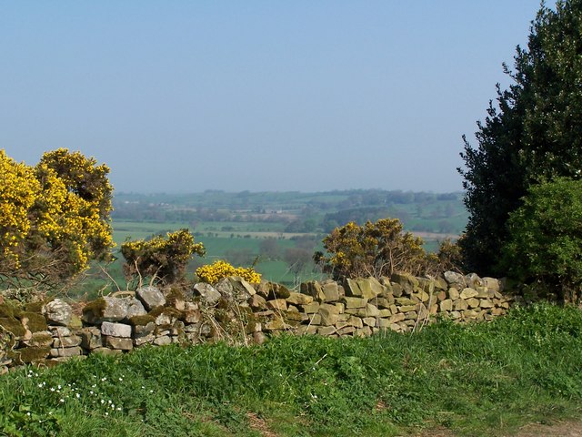
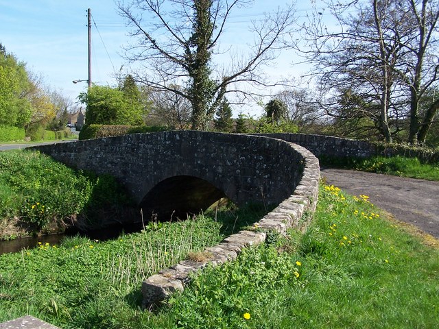
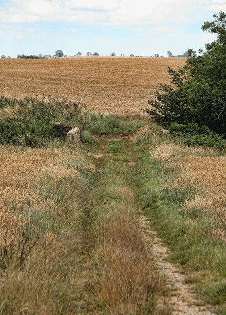
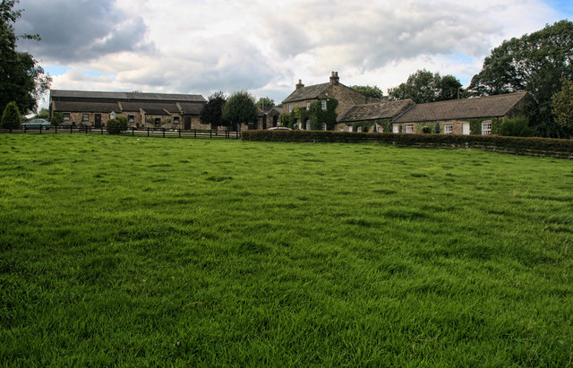
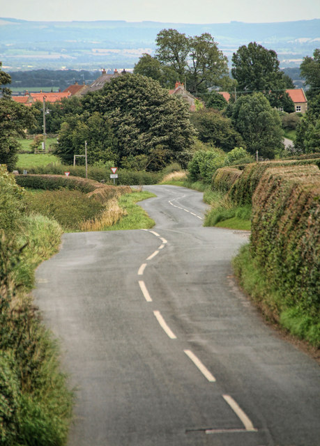
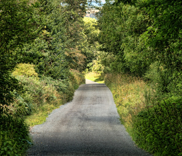
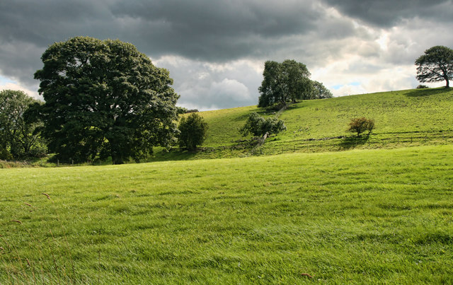
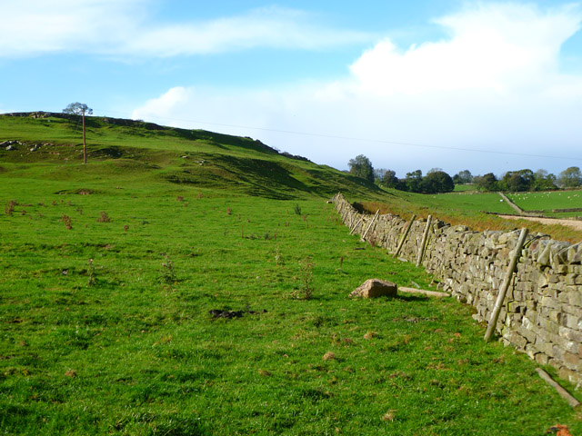
The landscape of Kirby Hill is characterized by rolling hills and open fields, making it a picturesque location for countryside walks and outdoor activities. The area is also known for its agriculture, with farms dotting the landscape and contributing to the local economy.
Despite its small size, Kirby Hill has a strong sense of community, with various social events and activities organized throughout the year. The village has a primary school, providing education to local children, and a village hall that serves as a hub for community gatherings.
Overall, Kirby Hill is a charming and historic village that offers a peaceful rural lifestyle amidst the stunning Yorkshire countryside.
If you have any feedback on the listing, please let us know in the comments section below.
Kirby Hill Images
Images are sourced within 2km of 54.452275/-1.791429 or Grid Reference NZ1306. Thanks to Geograph Open Source API. All images are credited.
Kirby Hill is located at Grid Ref: NZ1306 (Lat: 54.452275, Lng: -1.791429)
Division: North Riding
Administrative County: North Yorkshire
District: Richmondshire
Police Authority: North Yorkshire
What 3 Words
///files.shut.piled. Near Barningham, Co. Durham
Nearby Locations
Related Wikis

Kirby Hill, Richmondshire
Kirby Hill, historically also known as Kirby-on-the-Hill, is a village and civil parish in the Richmondshire district of North Yorkshire, England. The...

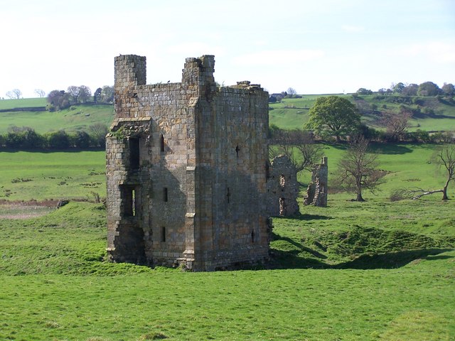
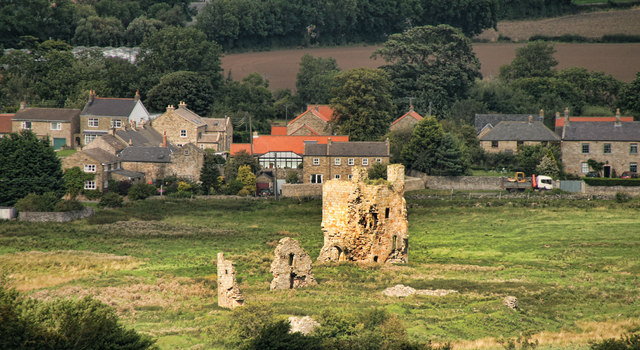
Ravensworth Castle (North Yorkshire)
Ravensworth Castle is a ruined 14th-century castle in the village of Ravensworth, North Yorkshire, England. It has been designated a Grade I listed building...
Whashton
Whashton is a village and civil parish in the Richmondshire district of North Yorkshire, England. == History == The name is of an uncertain origin and...

Ravensworth
Ravensworth is a village and civil parish in the Holmedale valley, within the Richmondshire district of North Yorkshire, England. It is approximately...

Gayles, North Yorkshire
Gayles is a village and civil parish in the Richmondshire district of North Yorkshire, England. Gayles is established in the district ward of Gilling West...

Dalton, west North Yorkshire
Dalton is a village and civil parish in North Yorkshire in England. Dalton is situated about six miles north-west of Richmond and about five miles south...

West Layton
West Layton is a village and civil parish in the Richmondshire district of North Yorkshire, England, close to the border with County Durham and a few miles...
Hartforth
Hartforth is a small village in the Richmondshire district of North Yorkshire, England. The village is situated approximately 9 miles (14 km) south-west...
Nearby Amenities
Located within 500m of 54.452275,-1.791429Have you been to Kirby Hill?
Leave your review of Kirby Hill below (or comments, questions and feedback).