Kirby Knowle

Civil Parish in Yorkshire Hambleton

England

Kirby Knowle

Ruin in Boltby Forest A ruined building in Boltby Forest.
Ruin in Boltby Forest Credit: T Eyre

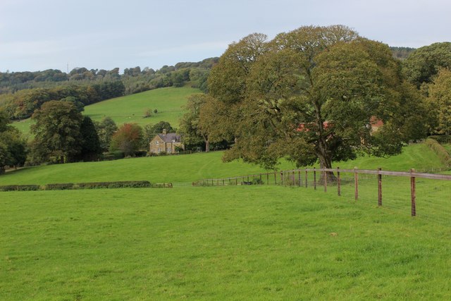
Kirby Knowle is a small civil parish located in the Hambleton district of North Yorkshire, England. Situated approximately 6 miles southeast of the market town of Thirsk, this rural community is surrounded by picturesque countryside and offers a tranquil setting for its residents.

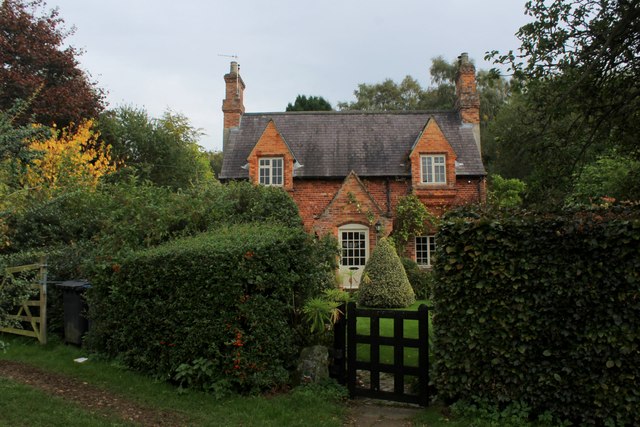
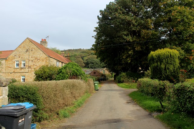
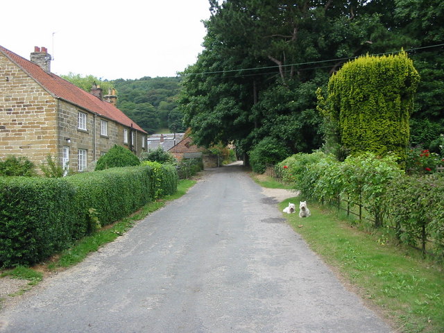
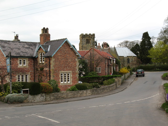
The parish is home to a small population, with just over 100 inhabitants according to the latest census. The village itself consists of a cluster of traditional stone houses and cottages, many of which date back several centuries, giving it a charming and historic character. The local church, St. Wilfrid's, is a notable landmark, known for its beautiful stained glass windows and peaceful atmosphere.

Agriculture plays a significant role in the local economy, with the majority of residents involved in farming or related industries. The fertile land surrounding Kirby Knowle is predominantly used for arable farming, with crops such as wheat, barley, and oilseed rape cultivated in the area.

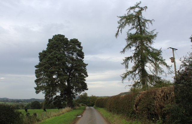
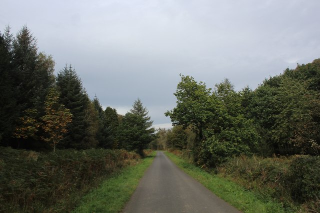
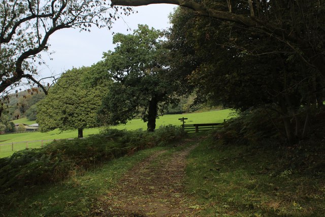
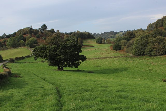
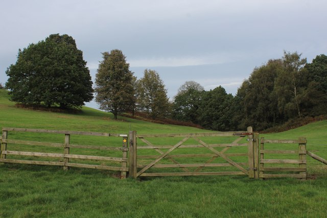
The parish is well-connected to nearby towns and cities, with good road links providing easy access to Thirsk, Northallerton, and the A19. The surrounding countryside offers ample opportunities for outdoor activities such as walking, cycling, and horse riding, with numerous trails and bridleways crisscrossing the landscape.

Despite its small size, Kirby Knowle has a strong sense of community, with regular events and activities organized by local groups. The village pub, The Black Swan, serves as a social hub for residents and visitors alike, providing a welcoming space to gather and enjoy a drink or meal.

In summary, Kirby Knowle is a peaceful and picturesque civil parish in North Yorkshire, offering a rural lifestyle and a close-knit community for its residents.

If you have any feedback on the listing, please let us know in the comments section below.
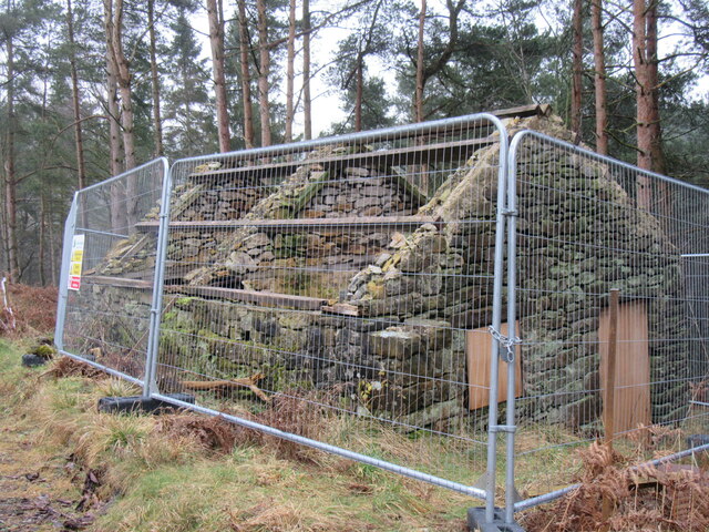
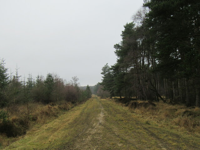
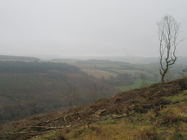
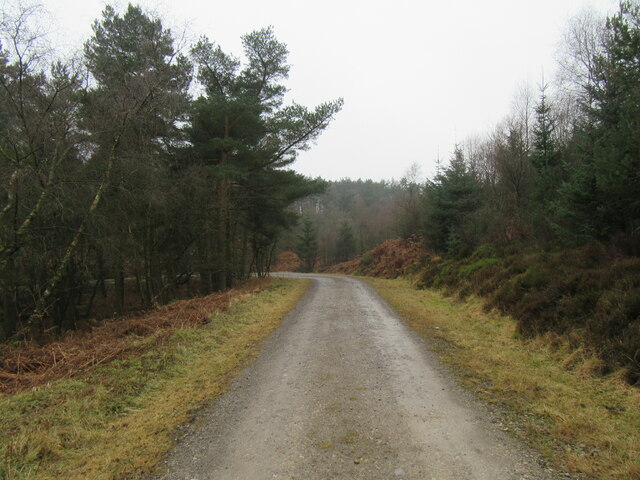
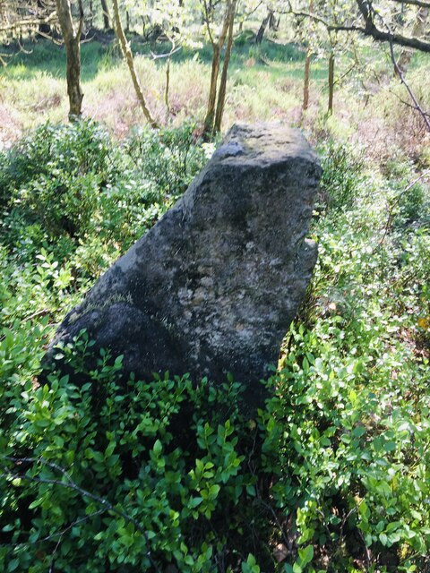
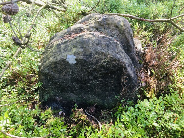
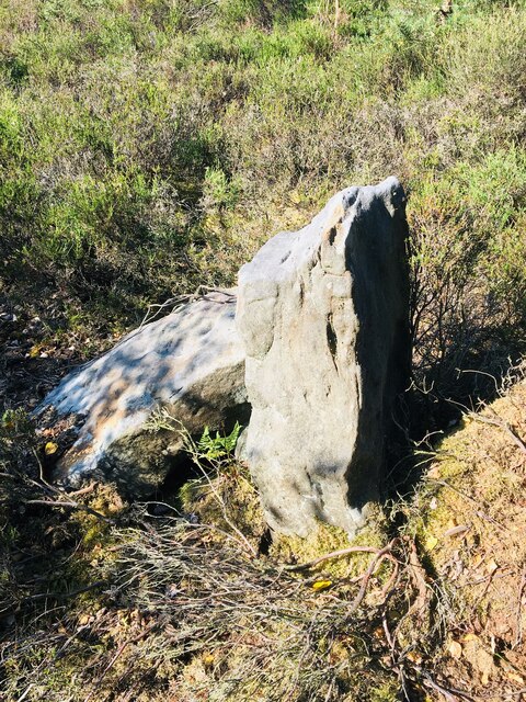
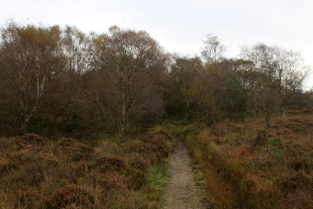
Kirby Knowle Images

Images are sourced within 2km of 54.282816/-1.288602 or Grid Reference SE4687. Thanks to Geograph Open Source API. All images are credited.

Ruin in Boltby Forest A ruined building in Boltby Forest.
Ruin in Boltby Forest
A ruined building in Boltby Forest.
Kirby Knowle Moor Part of Boltby Forest.
Kirby Knowle Moor
Part of Boltby Forest.
The Gurtof valley The valley of Gurtof Beck in Boltby Forest.
The Gurtof valley
The valley of Gurtof Beck in Boltby Forest.
Track in Boltby Forest A gravel track in Boltby Forest.
Track in Boltby Forest
A gravel track in Boltby Forest.
Old Boundary Marker on Kirby Knowle Moor Boundary Marker on Kirby Knowle Moor, 240 metres south of Cote Hill. On the boundary of Kirby Knowle and Boltby parishes.

Milestone Society National ID: YN_KKNBO01bm
Old Boundary Marker on Kirby Knowle Moor
Boundary Marker on Kirby Knowle Moor, 240 metres south of Cote Hill. On the boundary of Kirby Knowle and Boltby parishes. Milestone Society National ID: YN_KKNBO01bm
Old Boundary Marker on Kirby Knowle Moor Boundary Marker on Kirby Knowle Moor, 480 metres south of Cote Hill. On the boundary of Kirby Knowle and Boltby parishes.

Milestone Society National ID: YN_KKNBO02bm
Old Boundary Marker on Kirby Knowle Moor
Boundary Marker on Kirby Knowle Moor, 480 metres south of Cote Hill. On the boundary of Kirby Knowle and Boltby parishes. Milestone Society National ID: YN_KKNBO02bm
Old Boundary Marker on Kirby Knowle Moor Boundary Marker on Kirby Knowle Moor, 830 metres south of Cote Hill. On the boundary of Kirby Knowle and Boltby parishes.

Milestone Society National ID: YN_KKNBO03bm
Old Boundary Marker on Kirby Knowle Moor
Boundary Marker on Kirby Knowle Moor, 830 metres south of Cote Hill. On the boundary of Kirby Knowle and Boltby parishes. Milestone Society National ID: YN_KKNBO03bm
Old Boundary Marker on Kirby Knowle Moor Boundary Marker on Kirby Knowle Moor, 920 metres south of Cote Hill. On the boundary of Kirby Knowle and Boltby parishes.

Milestone Society National ID: YN_KKNBO04bm
Old Boundary Marker on Kirby Knowle Moor
Boundary Marker on Kirby Knowle Moor, 920 metres south of Cote Hill. On the boundary of Kirby Knowle and Boltby parishes. Milestone Society National ID: YN_KKNBO04bm
Old Boundary Marker on Kirby Knowle Moor Boundary Marker on Kirby Knowle Moor, 1070 metres south of Cote Hill. On the boundary of Kirby Knowle and Boltby parishes.

Milestone Society National ID: YN_KKNBO05bm
Old Boundary Marker on Kirby Knowle Moor
Boundary Marker on Kirby Knowle Moor, 1070 metres south of Cote Hill. On the boundary of Kirby Knowle and Boltby parishes. Milestone Society National ID: YN_KKNBO05bm
Bridleway on Kirby Knowle Moor
Brickshed Cottage Isolated dwelling located at the foot of the North York Moors escarpment and below Boltby Forest.
Brickshed Cottage
Isolated dwelling located at the foot of the North York Moors escarpment and below Boltby Forest.
Ruddings Lane Section of quiet country lane between Kirby Knowle and Cowesby - outside Brickshed Cottage
Ruddings Lane
Section of quiet country lane between Kirby Knowle and Cowesby - outside Brickshed Cottage
Ingdale Lane in Gutta Wood Section of quiet country lane between Kirby Knowle and Cowesby
Ingdale Lane in Gutta Wood
Section of quiet country lane between Kirby Knowle and Cowesby
On the Edge of Wind Egg Plantation What a wonderful name for a stretch of woodland!
Here, a footpath on the edge of the plantation is approaching a fingerpost pointing in four directions - two routes arrive in Kirby Knowle, a bridleway takes a circuitous route to Boltby and the final path aims for West Acre Lodge.
On the Edge of Wind Egg Plantation
What a wonderful name for a stretch of woodland! Here, a footpath on the edge of the plantation is approaching a fingerpost pointing in four directions - two routes arrive in Kirby Knowle, a bridleway takes a circuitous route to Boltby and the final path aims for West Acre Lodge.
Whinmoor Hill Access lane leading up to Manor House Farm in Kirby Knowle
Whinmoor Hill
Access lane leading up to Manor House Farm in Kirby Knowle
Footpath heading down to Kirby Knowle The footpath follows the fence towards the village of Kirby Knowle from Wind Egg Plantation
Footpath heading down to Kirby Knowle
The footpath follows the fence towards the village of Kirby Knowle from Wind Egg Plantation
Footpath heading for Knowle Hill The visible footpath through this pasture appears to have gone offline when compared to the map. However it does command a fine rural view looking to the north west
Footpath heading for Knowle Hill
The visible footpath through this pasture appears to have gone offline when compared to the map. However it does command a fine rural view looking to the north west
Knowle Hill A footpath runs through the five bar gate towards Wind Egg Plantation
Knowle Hill
A footpath runs through the five bar gate towards Wind Egg Plantation
Show me another place!

Kirby Knowle is located at Grid Ref: SE4687 (Lat: 54.282816, Lng: -1.288602)

Division: North Riding

Administrative County: North Yorkshire

District: Hambleton

Police Authority: North Yorkshire

What 3 Words

///timer.defrost.cycled. Near Thirsk, North Yorkshire

Related Wikis

Kirby Knowle

Kirby Knowle is a village and civil parish in Hambleton District of North Yorkshire, England, on the border of the North Yorkshire Moors and near Upsall...

Upsall Castle

Upsall Castle is a fourteenth-century ruin, park and manor house in Upsall, in the Hambleton district of North Yorkshire, England. == History == Some records...

Upsall

Upsall is a hamlet in and civil parish in the Hambleton district of North Yorkshire, England. It is situated approximately four miles north-east of Thirsk...

Cowesby

Cowesby is a village and civil parish in the Hambleton District of North Yorkshire, England. Part of the village including The Cowesby Hall Estate is within...

Holy Trinity Church, Boltby

Holy Trinity Church, Boltby is a parish church in the Church of England: 81  in Boltby. == History == The first chapel was founded in 1409 and was rebuilt...

Boltby

Boltby is a village and civil parish in the Hambleton District of North Yorkshire, England. It is on the edge of the North York Moors National Park at...

Felixkirk

Felixkirk is a village and civil parish in the Hambleton District of North Yorkshire, England. The village is situated about three miles north-east of...

Mount St. John Preceptory

Mount St. John Preceptory was a preceptory of the Knights Hospitallers near Felixkirk in North Yorkshire, England. == History == A preceptory to the honour...

Have you been to Kirby Knowle?

Leave your review of Kirby Knowle below (or comments, questions and feedback).