Jubilee Wood

Wood, Forest in Yorkshire Hambleton

England

Jubilee Wood

Ruin in Boltby Forest A ruined building in Boltby Forest.
Ruin in Boltby Forest Credit: T Eyre

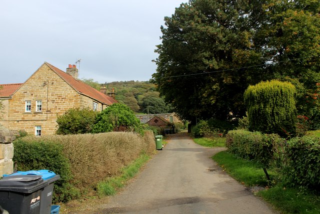
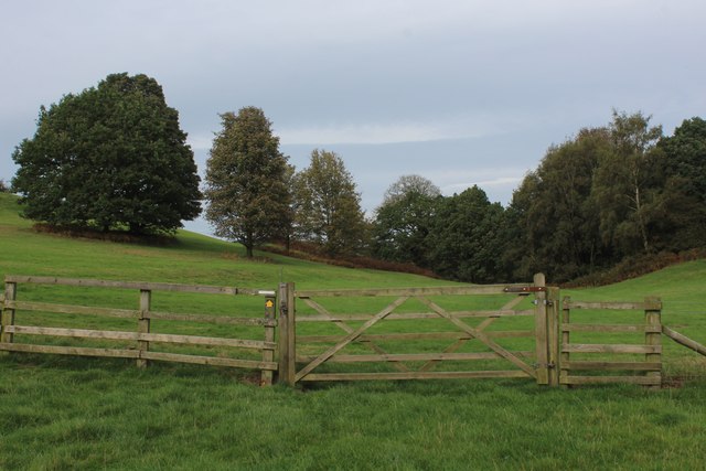
Jubilee Wood is a beautiful woodland located in Yorkshire, England. Covering an area of approximately 50 acres, this forest is a popular destination for nature enthusiasts and outdoor lovers alike. It was established in 2002 to commemorate the Queen's Golden Jubilee and has since become a cherished natural space in the region.

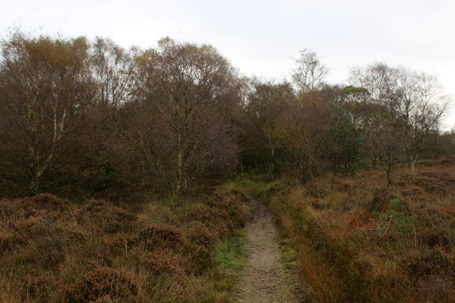
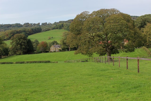
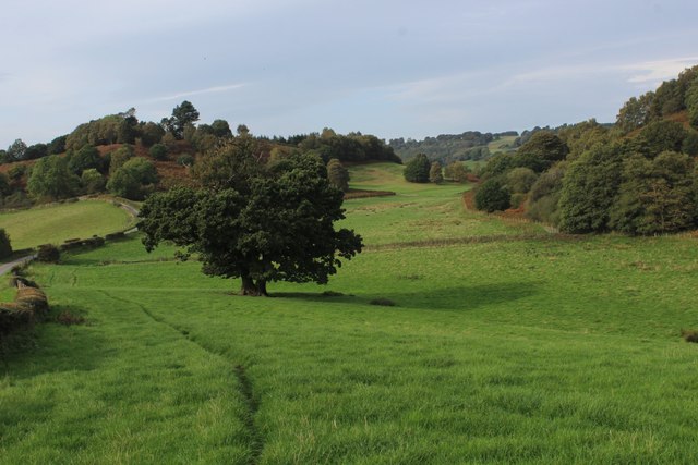
The wood is characterized by a diverse range of tree species, including oak, birch, and beech. The dense canopy provides a habitat for various wildlife, making it a haven for birdwatchers and wildlife enthusiasts. Visitors can expect to spot a variety of bird species, such as woodpeckers, nuthatches, and robins, as well as mammals like squirrels and rabbits.

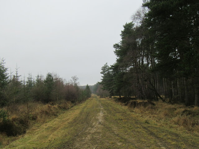
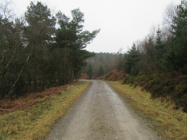
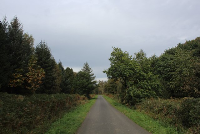
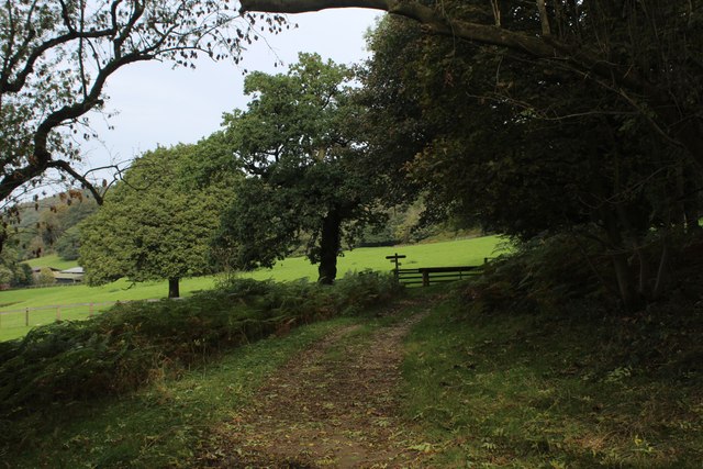
Jubilee Wood offers a network of well-maintained walking trails, allowing visitors to explore the forest at their own pace. The paths meander through the woodland, passing by tranquil ponds and picturesque clearings. Along the way, informative signposts provide interesting facts about the flora and fauna found within the wood, enhancing the educational experience.

This woodland is not only a recreational space but also plays an important role in conserving biodiversity in the area. The management of Jubilee Wood focuses on maintaining a healthy ecosystem and preserving the natural balance of the forest. This includes periodic tree planting initiatives to ensure the longevity of the woodland and encourage its growth.

Overall, Jubilee Wood is a captivating forest that offers a serene escape from the hustle and bustle of everyday life. Its natural beauty, diverse wildlife, and commitment to conservation make it a must-visit destination for those seeking a peaceful and educational outdoor experience in Yorkshire.

If you have any feedback on the listing, please let us know in the comments section below.
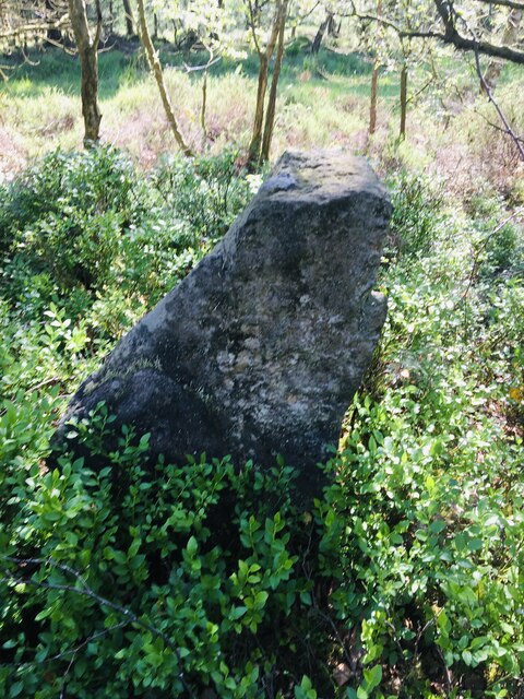
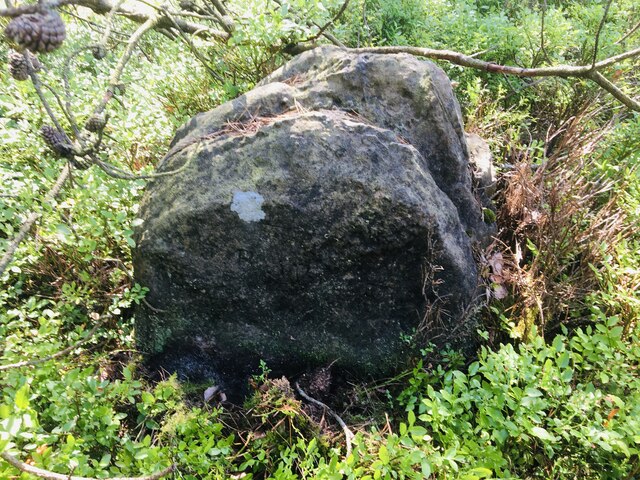
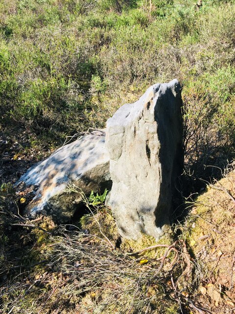
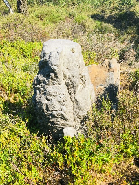
Jubilee Wood Images

Images are sourced within 2km of 54.282042/-1.2879077 or Grid Reference SE4687. Thanks to Geograph Open Source API. All images are credited.

Ruin in Boltby Forest A ruined building in Boltby Forest.
Ruin in Boltby Forest
A ruined building in Boltby Forest.
Kirby Knowle Moor Part of Boltby Forest.
Kirby Knowle Moor
Part of Boltby Forest.
The Gurtof valley The valley of Gurtof Beck in Boltby Forest.
The Gurtof valley
The valley of Gurtof Beck in Boltby Forest.
Track in Boltby Forest A gravel track in Boltby Forest.
Track in Boltby Forest
A gravel track in Boltby Forest.
Old Boundary Marker on Kirby Knowle Moor Boundary Marker on Kirby Knowle Moor, 240 metres south of Cote Hill. On the boundary of Kirby Knowle and Boltby parishes.

Milestone Society National ID: YN_KKNBO01bm
Old Boundary Marker on Kirby Knowle Moor
Boundary Marker on Kirby Knowle Moor, 240 metres south of Cote Hill. On the boundary of Kirby Knowle and Boltby parishes. Milestone Society National ID: YN_KKNBO01bm
Old Boundary Marker on Kirby Knowle Moor Boundary Marker on Kirby Knowle Moor, 480 metres south of Cote Hill. On the boundary of Kirby Knowle and Boltby parishes.

Milestone Society National ID: YN_KKNBO02bm
Old Boundary Marker on Kirby Knowle Moor
Boundary Marker on Kirby Knowle Moor, 480 metres south of Cote Hill. On the boundary of Kirby Knowle and Boltby parishes. Milestone Society National ID: YN_KKNBO02bm
Old Boundary Marker on Kirby Knowle Moor Boundary Marker on Kirby Knowle Moor, 830 metres south of Cote Hill. On the boundary of Kirby Knowle and Boltby parishes.

Milestone Society National ID: YN_KKNBO03bm
Old Boundary Marker on Kirby Knowle Moor
Boundary Marker on Kirby Knowle Moor, 830 metres south of Cote Hill. On the boundary of Kirby Knowle and Boltby parishes. Milestone Society National ID: YN_KKNBO03bm
Old Boundary Marker on Kirby Knowle Moor Boundary Marker on Kirby Knowle Moor, 920 metres south of Cote Hill. On the boundary of Kirby Knowle and Boltby parishes.

Milestone Society National ID: YN_KKNBO04bm
Old Boundary Marker on Kirby Knowle Moor
Boundary Marker on Kirby Knowle Moor, 920 metres south of Cote Hill. On the boundary of Kirby Knowle and Boltby parishes. Milestone Society National ID: YN_KKNBO04bm
Old Boundary Marker on Kirby Knowle Moor Boundary Marker on Kirby Knowle Moor, 1070 metres south of Cote Hill. On the boundary of Kirby Knowle and Boltby parishes.

Milestone Society National ID: YN_KKNBO05bm
Old Boundary Marker on Kirby Knowle Moor
Boundary Marker on Kirby Knowle Moor, 1070 metres south of Cote Hill. On the boundary of Kirby Knowle and Boltby parishes. Milestone Society National ID: YN_KKNBO05bm
Bridleway on Kirby Knowle Moor
Brickshed Cottage Isolated dwelling located at the foot of the North York Moors escarpment and below Boltby Forest.
Brickshed Cottage
Isolated dwelling located at the foot of the North York Moors escarpment and below Boltby Forest.
Ruddings Lane Section of quiet country lane between Kirby Knowle and Cowesby - outside Brickshed Cottage
Ruddings Lane
Section of quiet country lane between Kirby Knowle and Cowesby - outside Brickshed Cottage
Ingdale Lane in Gutta Wood Section of quiet country lane between Kirby Knowle and Cowesby
Ingdale Lane in Gutta Wood
Section of quiet country lane between Kirby Knowle and Cowesby
On the Edge of Wind Egg Plantation What a wonderful name for a stretch of woodland!
Here, a footpath on the edge of the plantation is approaching a fingerpost pointing in four directions - two routes arrive in Kirby Knowle, a bridleway takes a circuitous route to Boltby and the final path aims for West Acre Lodge.
On the Edge of Wind Egg Plantation
What a wonderful name for a stretch of woodland! Here, a footpath on the edge of the plantation is approaching a fingerpost pointing in four directions - two routes arrive in Kirby Knowle, a bridleway takes a circuitous route to Boltby and the final path aims for West Acre Lodge.
Whinmoor Hill Access lane leading up to Manor House Farm in Kirby Knowle
Whinmoor Hill
Access lane leading up to Manor House Farm in Kirby Knowle
Footpath heading down to Kirby Knowle The footpath follows the fence towards the village of Kirby Knowle from Wind Egg Plantation
Footpath heading down to Kirby Knowle
The footpath follows the fence towards the village of Kirby Knowle from Wind Egg Plantation
Footpath heading for Knowle Hill The visible footpath through this pasture appears to have gone offline when compared to the map. However it does command a fine rural view looking to the north west
Footpath heading for Knowle Hill
The visible footpath through this pasture appears to have gone offline when compared to the map. However it does command a fine rural view looking to the north west
Knowle Hill A footpath runs through the five bar gate towards Wind Egg Plantation
Knowle Hill
A footpath runs through the five bar gate towards Wind Egg Plantation
Show me another place!

Jubilee Wood is located at Grid Ref: SE4687 (Lat: 54.282042, Lng: -1.2879077)

Division: North Riding

Administrative County: North Yorkshire

District: Hambleton

Police Authority: North Yorkshire

What 3 Words

///premiums.treaty.uttering. Near Thirsk, North Yorkshire

Related Wikis

Kirby Knowle

Kirby Knowle is a village and civil parish in Hambleton District of North Yorkshire, England, on the border of the North Yorkshire Moors and near Upsall...

Upsall Castle

Upsall Castle is a fourteenth-century ruin, park and manor house in Upsall, in the Hambleton district of North Yorkshire, England. == History == Some records...

Upsall

Upsall is a hamlet in and civil parish in the Hambleton district of North Yorkshire, England. It is situated approximately four miles north-east of Thirsk...

Cowesby

Cowesby is a village and civil parish in the Hambleton District of North Yorkshire, England. Part of the village including The Cowesby Hall Estate is within...

Holy Trinity Church, Boltby

Holy Trinity Church, Boltby is a parish church in the Church of England: 81  in Boltby. == History == The first chapel was founded in 1409 and was rebuilt...

Boltby

Boltby is a village and civil parish in the Hambleton District of North Yorkshire, England. It is on the edge of the North York Moors National Park at...

Felixkirk

Felixkirk is a village and civil parish in the Hambleton District of North Yorkshire, England. The village is situated about three miles north-east of...

Mount St. John Preceptory

Mount St. John Preceptory was a preceptory of the Knights Hospitallers near Felixkirk in North Yorkshire, England. == History == A preceptory to the honour...

Related Videos

Cowesby & Boltby Forest, North York Moors - 24 October 2021

Almost a 10 mile walk from Cowesby. The route heads north east up through Cowesby Wood and catches the sunrise over Boltby ...

Kirby Knowle raw drone footage

Raw drone footage of Kirby Knowle, N.Yorks.

Have you been to Jubilee Wood?

Leave your review of Jubilee Wood below (or comments, questions and feedback).