Angledown Copse
Wood, Forest in Hampshire Basingstoke and Deane
England
Angledown Copse
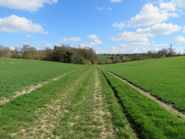
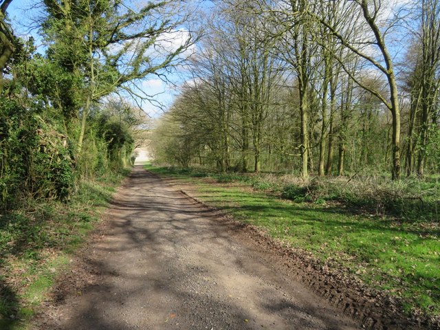
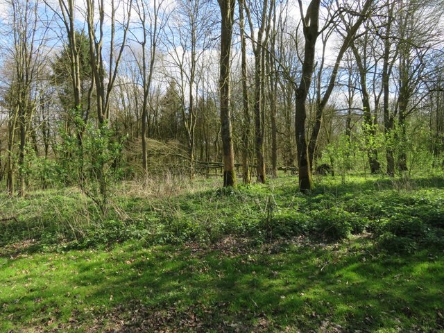
Angledown Copse is a picturesque woodland located in the county of Hampshire, England. Covering an area of approximately 50 acres, this ancient forest is a haven for nature enthusiasts and offers a tranquil retreat from the hustle and bustle of everyday life.
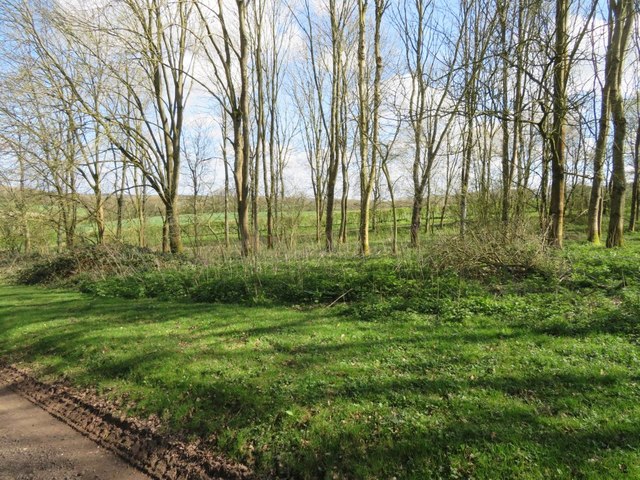
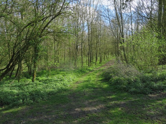
The copse is predominantly made up of deciduous trees, including oak, beech, and birch, which create a dense canopy that provides shade and shelter for a variety of wildlife. The forest floor is adorned with a rich carpet of bluebells during the springtime, adding a burst of color to the landscape.
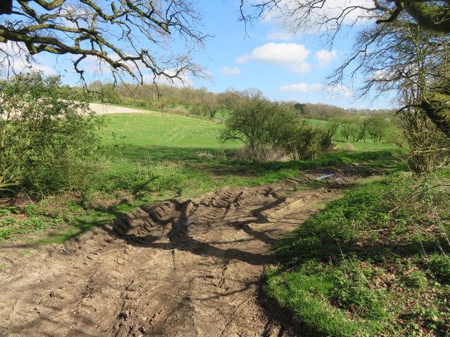
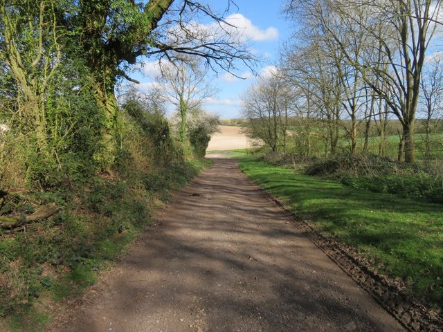
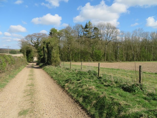
Walking through Angledown Copse, visitors will discover a network of well-maintained footpaths that wind their way through the trees, allowing for leisurely strolls and exploration. The paths are suitable for all ages and abilities, ensuring that everyone can enjoy the beauty of the forest.
The copse is home to a diverse range of wildlife, including deer, foxes, and a multitude of bird species. Birdwatchers will delight in the opportunity to spot rare and migratory birds amongst the branches.
In addition to its natural beauty, Angledown Copse also boasts a rich historical heritage. The forest is said to have been a hunting ground for royalty in medieval times and remnants of ancient earthworks can still be found within its boundaries.
Overall, Angledown Copse is a charming woodland that offers a serene escape for nature lovers and a glimpse into Hampshire's past. With its tranquil atmosphere and stunning natural scenery, it is a must-visit destination for anyone seeking a peaceful retreat in the heart of England.
If you have any feedback on the listing, please let us know in the comments section below.
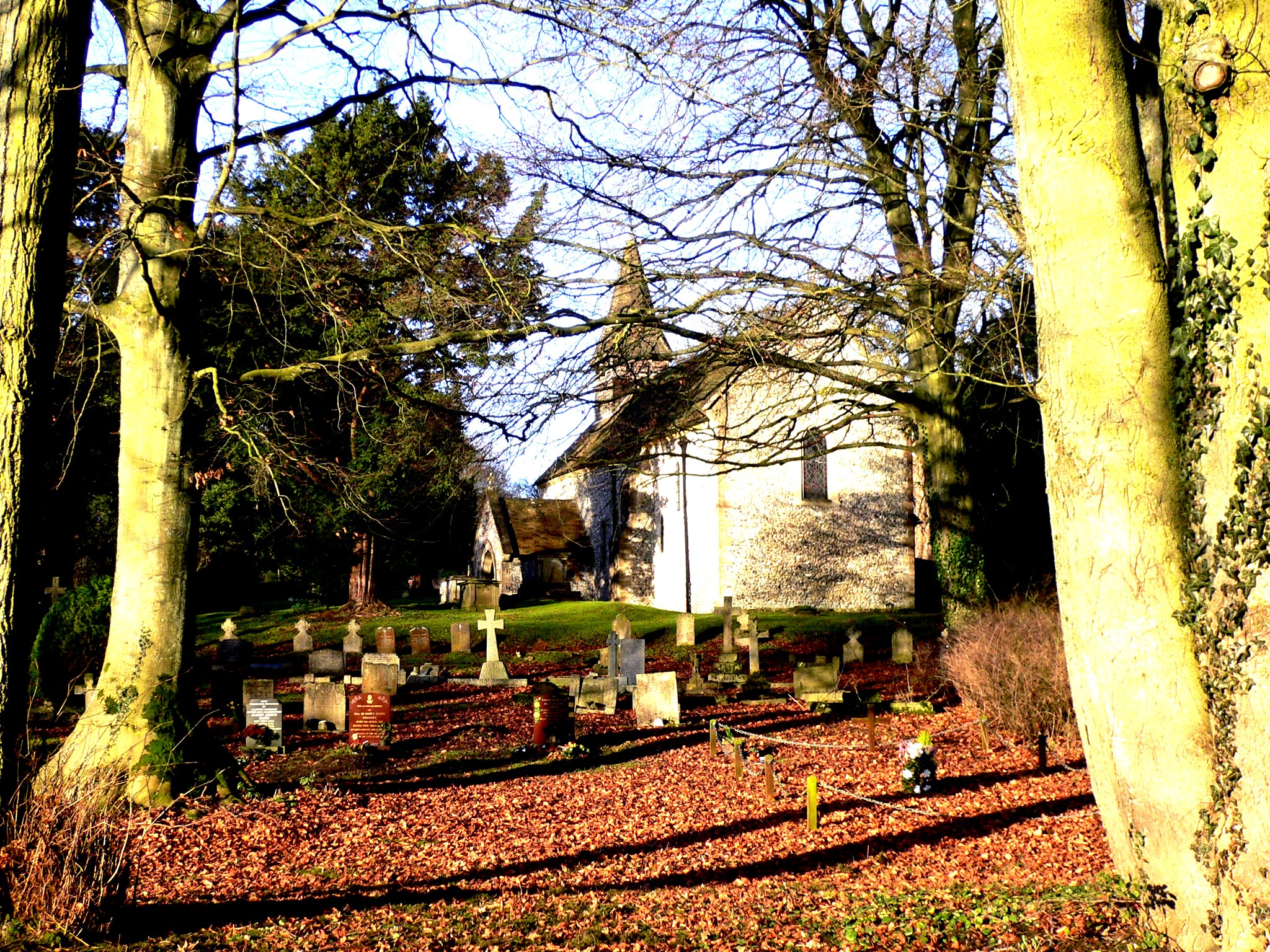
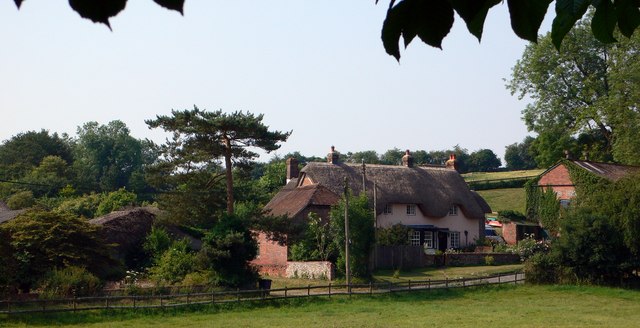
Angledown Copse Images
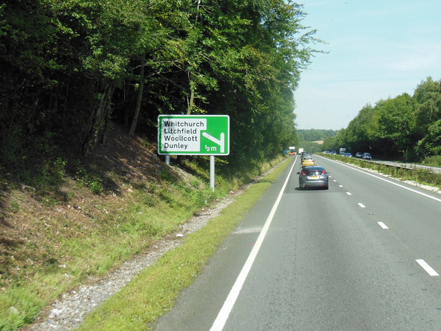
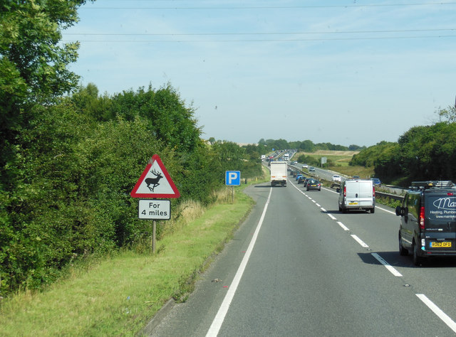
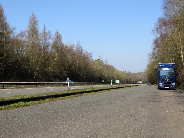
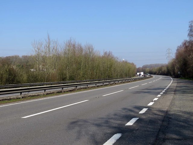
Images are sourced within 2km of 51.275853/-1.3353185 or Grid Reference SU4653. Thanks to Geograph Open Source API. All images are credited.


Angledown Copse is located at Grid Ref: SU4653 (Lat: 51.275853, Lng: -1.3353185)
Administrative County: Hampshire
District: Basingstoke and Deane
Police Authority: Hampshire
What 3 Words
///printout.nights.acquaint. Near Overton, Hampshire
Nearby Locations
Related Wikis
Litchfield, Hampshire
Litchfield is a village and former civil parish, now in the parish of Litchfield and Woodcott, in the Basingstoke and Deane district of Hampshire, England...

Litchfield railway station
Litchfield railway station, on the Didcot, Newbury and Southampton Railway, served the small village of Litchfield, Hampshire, England. The station received...

Dunley, Hampshire
Dunley is a hamlet in the Basingstoke and Deane district of Hampshire, England. It is in the civil parish of Litchfield and Woodcott. Its nearest town...
Litchfield and Woodcott
Litchfield and Woodcott is a civil parish in the English county of Hampshire. Forming part of the district of Basingstoke and Deane the main settlements...
Cole Henley
Cole Henley is a hamlet in the Basingstoke and Deane district of Hampshire, England. Its nearest town is Whitchurch, which lies approximately 3.1 miles...
Whitnal
Whitnal is a hamlet and small civil parish situated in the North Wessex Downs Area of Outstanding Natural Beauty in the Basingstoke and Deane district...
Lower Woodcott
Lower Woodcott is a small village in the Basingstoke and Deane district of Hampshire, Englannd. Its nearest town is Whitchurch, which lies approximately...
Hare Warren
Hare Warren is a hamlet in the Basingstoke and Deane district of Hampshire, England. At the 2011 Census the population of the hamlet was included in the...
Nearby Amenities
Located within 500m of 51.275853,-1.3353185Have you been to Angledown Copse?
Leave your review of Angledown Copse below (or comments, questions and feedback).