Kirby Misperton

Settlement in Yorkshire Ryedale

England

Kirby Misperton

Sandlands Farm
Sandlands Farm Credit: David Brown

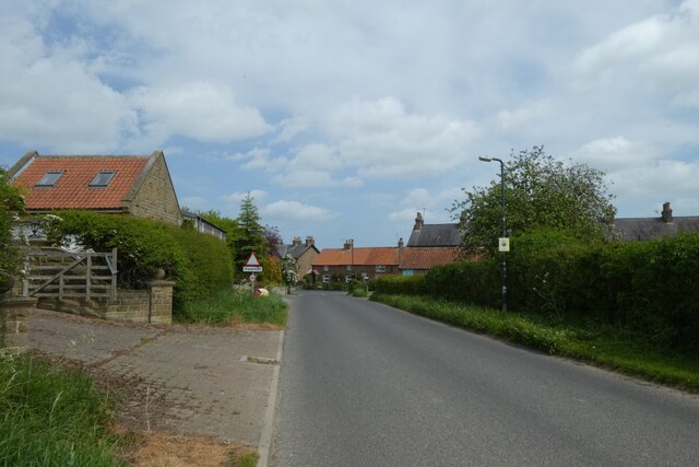
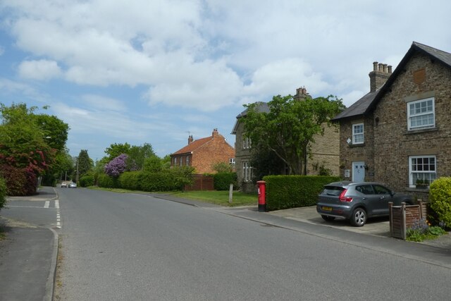
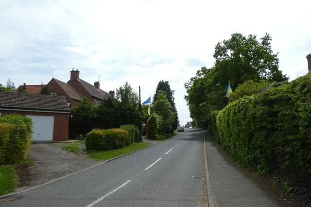
Kirby Misperton is a small village located in the Ryedale district of North Yorkshire, England. Situated approximately 25 miles north of the historic city of York, the village lies within the scenic Vale of Pickering. With a population of around 200 residents, Kirby Misperton exudes a quintessentially rural charm.

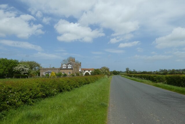
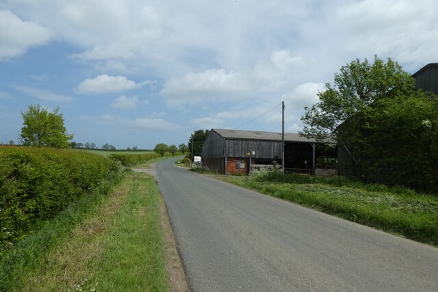
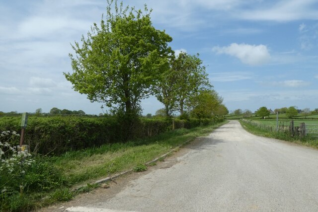
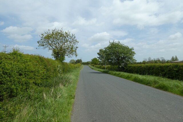
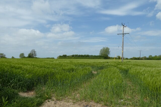
The village is surrounded by beautiful countryside, characterized by rolling hills, lush green fields, and picturesque woodland areas. The nearby River Dove runs through the village, adding to its natural beauty and providing opportunities for leisurely walks and outdoor recreation.

Kirby Misperton is perhaps best known for its proximity to the Kirby Misperton Oil Field, which has been in operation since the 1980s. The oil field has attracted some controversy due to concerns about the environmental impact of the extraction process, but it has also brought economic benefits to the village and surrounding area.

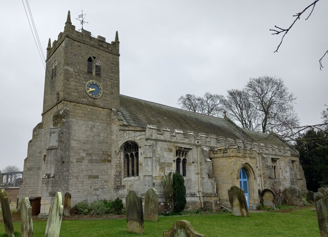
The village itself boasts a small but close-knit community, with a church, a village hall, and a primary school serving the local residents. The village hall hosts various community events throughout the year, fostering a sense of community spirit and engagement.

For amenities and services, residents typically rely on nearby towns such as Malton or Pickering, which offer a wider range of shops, restaurants, and leisure facilities. The village is well-connected by road, with the A169 passing close by, providing easy access to neighboring towns and cities.

Overall, Kirby Misperton offers a tranquil and idyllic setting, perfect for those seeking a peaceful countryside retreat while still enjoying the convenience of nearby amenities.

If you have any feedback on the listing, please let us know in the comments section below.

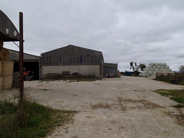
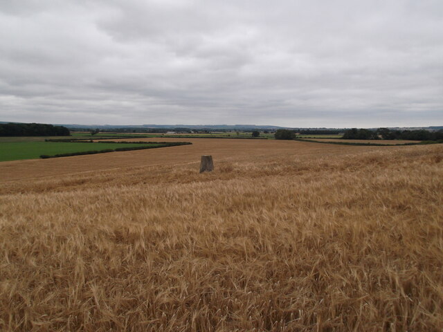
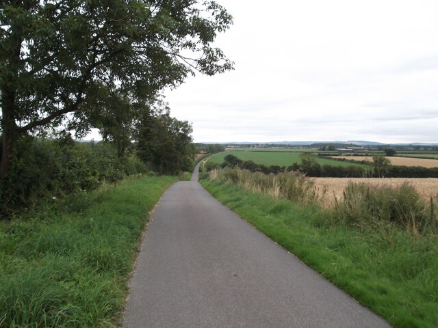
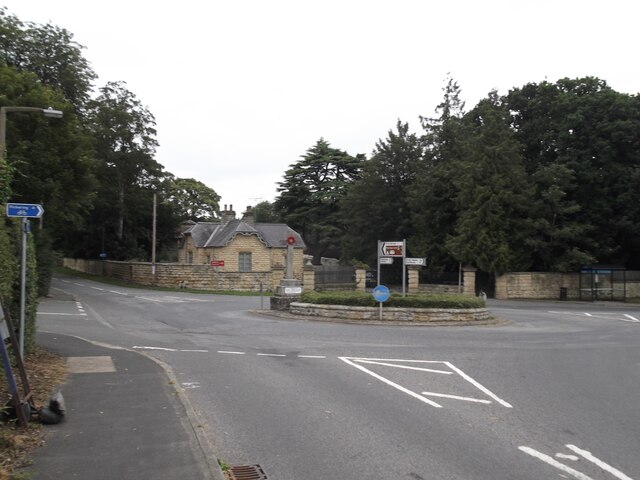
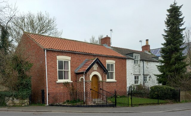
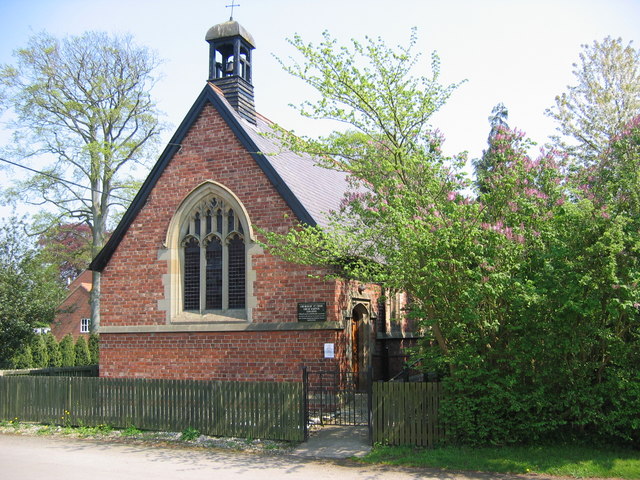
Kirby Misperton Images

Images are sourced within 2km of 54.204766/-0.806388 or Grid Reference SE7779. Thanks to Geograph Open Source API. All images are credited.

Sandlands Farm
Sandlands Farm
Trig pillar and view from Sandlands Farm
Road to Elm Tree Farm About a mile to the farm
Road to Elm Tree Farm
About a mile to the farm
Roundabout and War Memorial, Kirby Misperton
Kirby Misperton, St Lawrence's church The bolt and arrowhead are cut into the south face of the church tower. The arrowhead below the bolt is likely to be a builders mark, and not related to the OS bolt.
Kirby Misperton, St Lawrence's church
The bolt and arrowhead are cut into the south face of the church tower. The arrowhead below the bolt is likely to be a builders mark, and not related to the OS bolt.
Kirby Misperton, St Lawrence's church There is an OS bolt and arrowhead cut into the south face of the church tower.
Kirby Misperton, St Lawrence's church
There is an OS bolt and arrowhead cut into the south face of the church tower.
Kirby Misperton, roadside wall The benchmark is cut into the wall at the north of the roundabout and to the left of the old concrete bus stop post.
Kirby Misperton, roadside wall
The benchmark is cut into the wall at the north of the roundabout and to the left of the old concrete bus stop post.
Kirby Misperton, entrance There is a benchmark cut into the wall at the north of the roundabout and to the left of the old concrete bus stop post.
Kirby Misperton, entrance
There is a benchmark cut into the wall at the north of the roundabout and to the left of the old concrete bus stop post.
Kirby Misperton, Methodist church The benchmark is cut into the right hand side of the road facing wall.
Kirby Misperton, Methodist church
The benchmark is cut into the right hand side of the road facing wall.
Kirby Misperton, Methodist church There is a benchmark cut into the right hand side of the road facing wall.
Kirby Misperton, Methodist church
There is a benchmark cut into the right hand side of the road facing wall.
Habton Road near Tuffit Manor The Malton to Pickering cycle path has opened this month and follows this road.
Habton Road near Tuffit Manor
The Malton to Pickering cycle path has opened this month and follows this road.
Habton Road near Kirby O-Carr The Malton to Pickering cycle path has opened this month and follows this road.
Habton Road near Kirby O-Carr
The Malton to Pickering cycle path has opened this month and follows this road.
Footpath to Alma Farm Looking along the track leading to the farm from Habton Road.
Footpath to Alma Farm
Looking along the track leading to the farm from Habton Road.
Habton Road The Malton to Pickering cycle path has opened this month and follows this road.
Habton Road
The Malton to Pickering cycle path has opened this month and follows this road.
Barley beside Habton Road With electricity poles changing the direction of the conductors.
Barley beside Habton Road
With electricity poles changing the direction of the conductors.
Habton Road entering Kirby Misperton The Malton to Pickering cycle path has opened this month and follows the road through the village.
Habton Road entering Kirby Misperton
The Malton to Pickering cycle path has opened this month and follows the road through the village.
Letterbox on Main Street The Malton to Pickering cycle path has opened this month and follows the road through the village.
Letterbox on Main Street
The Malton to Pickering cycle path has opened this month and follows the road through the village.
Flags in Kirby Misperton Ukrainian and Yorkshire flags flying in the village. The Malton to Pickering cycle path has opened this month and follows the road through the village.
Flags in Kirby Misperton
Ukrainian and Yorkshire flags flying in the village. The Malton to Pickering cycle path has opened this month and follows the road through the village.
Show me another place!

Kirby Misperton is located at Grid Ref: SE7779 (Lat: 54.204766, Lng: -0.806388)

Division: North Riding

Administrative County: North Yorkshire

District: Ryedale

Police Authority: North Yorkshire

What 3 Words

///surpassed.truckload.instincts. Near Pickering, North Yorkshire

Related Wikis

Kirby Misperton

Kirby Misperton is a small village and civil parish in North Yorkshire, England and has a population of around 370. It is about four miles (6 km) south...

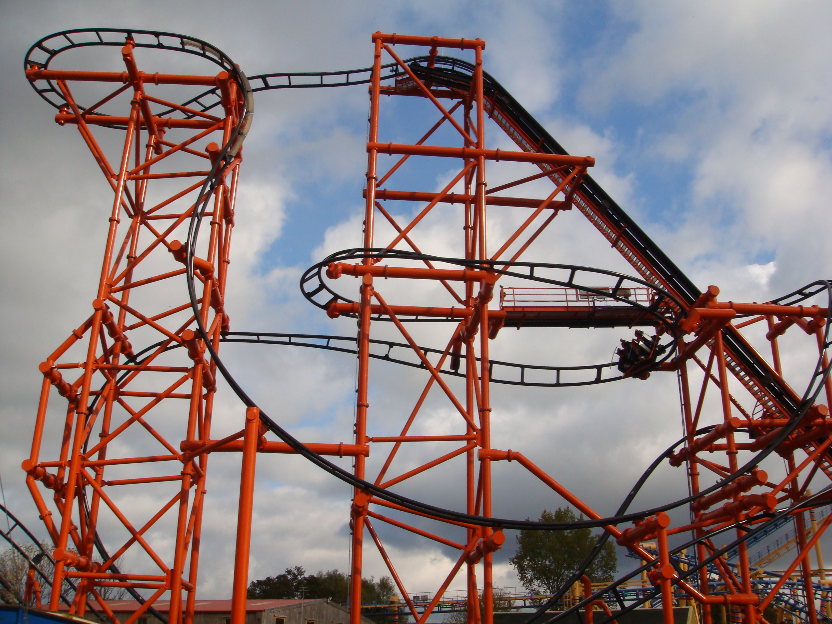
Mumbo Jumbo (roller coaster)

Mumbo Jumbo is a roller coaster which opened to the public on 4 July 2009 at Flamingo Land Resort, UK. Mumbo Jumbo is situated in the Lost Kingdom section...

Flamingo Land Resort

Flamingo Land is a theme park, zoo, and resort located in Kirby Misperton, North Yorkshire, England. Opened in 1959, it has been owned and operated by...
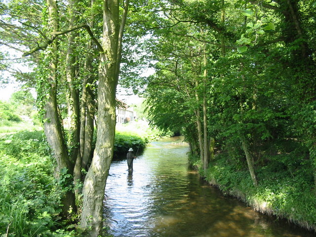
Pickering Beck

Pickering Beck is a river that runs for over 18 miles (29 km) from its source in the North York Moors National Park through the town of Pickering and on...
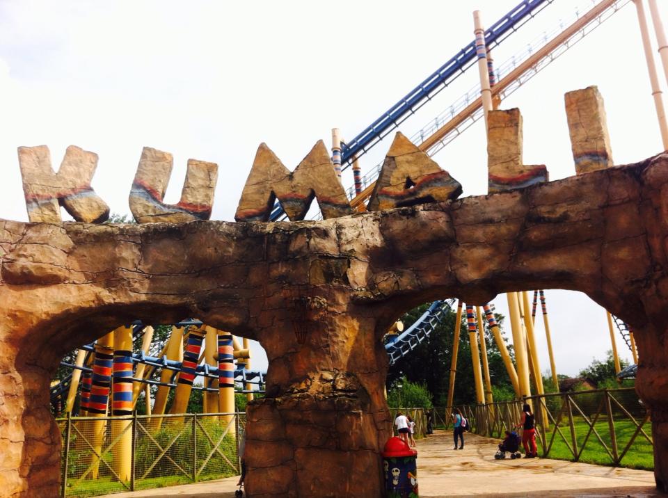
Kumali

Kumali, installed 2006, is a Vekoma Suspended Looping Coaster (SLC), located in Flamingo Land Resort in North Yorkshire, England. The ride is an Shenlin...

Barugh (Great and Little)

Barugh (Great and Little) () is a civil parish in North Yorkshire, England, covering Great Barugh and Little Barugh. Great Barugh is located at a junction...

Kirby railway station

Kirby railway station was a railway station on the York and North Midland Railway's branch line to Pickering. Named after the village of Kirby Misperton...

Habton

Habton is a civil parish in the Ryedale district of North Yorkshire, England. In 2011, it had a population of 321. == History == The name "Habton" means...

Nearby Amenities

Located within 500m of 54.204766,-0.806388
Post Box
Post Box Type: pillar
Ref: YO17 73
Royal Cypher: GR
Royal Cypher Wikidata: Q33102273
Lat/Long: 54.2032035/-0.8064277
Shelter
Shelter Type: public_transport
Lat/Long: 54.2047945/-0.8060254
Bus Stop
Kirby Misperton Roundabout
Bench: yes
Bin: yes
Bus: yes
Departures Board: timetable
Naptan AtcoCode: 32010023
Public Transport: platform
Shelter: yes
Lat/Long: 54.2047474/-0.8059362
Entrance: main
Lat/Long: 54.2054413/-0.809133
Zanzibar Arcade
Leisure: amusement_arcade
Lat/Long: 54.2088754/-0.808329
Zanzi Bazaar Shop
Shop: gift
Lat/Long: 54.2086918/-0.8085678
Pub
Pitchers Sports Bar
Addr City: Malton
Addr Postcode: YO17 6UX
Lat/Long: 54.2091138/-0.8083719
Restaurant
Zanzibar Food Market
Is In: Flamingo Land
Lat/Long: 54.2087718/-0.8084551
Railway: crossing
Lat/Long: 54.2085266/-0.8054653
Railway: crossing
Lat/Long: 54.2085494/-0.8077439
Railway: crossing
Lat/Long: 54.2086762/-0.8040006
Tourism: picnic_site
Lat/Long: 54.2072414/-0.8074757
Fast Food
Jolly Sailor 2 Go
Cuisine: fish_and_chips
Lat/Long: 54.2071342/-0.8072778
Tourism: picnic_site
Lat/Long: 54.2070204/-0.8072884
Toilets
Lat/Long: 54.207254/-0.807157
Historic: memorial
Lat/Long: 54.2047071/-0.8063747
Historic: memorial
Wikidata: Q26442588
Lat/Long: 54.207022/-0.802926
Kirby Misperton
Is In: North Yorkshire, England
Place: village
Source: NLS-OS-1st_Series
Wikidata: Q4618254
Wikipedia: en:Kirby Misperton
Lat/Long: 54.2052755/-0.8055278
Monorail Platform
Monorail: yes
Public Transport: stop_position
Railway: stop
Lat/Long: 54.2070559/-0.8047839
Zoo
Aerialway: yes
Public Transport: stop_position
Lat/Long: 54.2076087/-0.8058854
Note: Not a place
Source: survey
Lat/Long: 54.2056128/-0.7992235
Park View
Place: locality
Lat/Long: 54.2049898/-0.8027069
Glebe Farm
Place: farm
Lat/Long: 54.2053687/-0.8136465
Dino Shop
Shop: gift
Lat/Long: 54.2084525/-0.8074458
Leisure: playground
Playground: structure
Lat/Long: 54.2066824/-0.808595
Galleon Play
Playground: structure
Lat/Long: 54.2064621/-0.8085497
Zoo
Public Transport: station
Railway: station
Usage: tourism
Lat/Long: 54.2087968/-0.8036184
How Sweet Is This
Shop: confectionery
Lat/Long: 54.2089064/-0.809001
Sand Play
Playground: sandpit
Lat/Long: 54.2065688/-0.808796
Pub
The Coach House Country Pub
Lat/Long: 54.2062585/-0.808296
Toilets
Lat/Long: 54.2062514/-0.8084504
Lily Bobtail™ Nature Discovery
Leisure: playground
Lat/Long: 54.2064797/-0.8068975
Zoo Shop
Shop: gift
Lat/Long: 54.2068841/-0.8067946
Cafe
Muddy Duck Cafe
Lat/Long: 54.2068073/-0.8067839
Children's Planet
Place: locality
Lat/Long: 54.2068751/-0.8084936
Muddy Duck Farm
Place: locality
Lat/Long: 54.2066371/-0.8075969
Zoo
Place: locality
Lat/Long: 54.2077305/-0.8046073
Dino Stone Park
Place: locality
Lat/Long: 54.2087942/-0.8076309
Peter Rabbit™ Gift Shop
Shop: gift
Lat/Long: 54.2063401/-0.8064755
Pub
Mansion House and Tea Rooms
Lat/Long: 54.2063455/-0.8061335
Bird Show
Tourism: attraction
Lat/Long: 54.2068222/-0.8065386
Tourism: picnic_site
Lat/Long: 54.2078998/-0.8075985
Cable Car
Aerialway: station
Public Transport: station
Lat/Long: 54.2075518/-0.8058797
Toilets
Lat/Long: 54.2086316/-0.8086718
Leisure: amusement_arcade
Lat/Long: 54.2089908/-0.8083285
Cafe
Boma Café
Lat/Long: 54.2071033/-0.805367
Picnic Planet
Leisure: outdoor_seating
Lat/Long: 54.206637/-0.8081351
Fast Food
Food Kiosk
Lat/Long: 54.2066397/-0.8078811
Railway: station
Usage: tourism
Lat/Long: 54.2071578/-0.8080105
Bench
Lat/Long: 54.2033735/-0.8066354
Powerlink Electrical
Addr City: Malton
Addr Postcode: YO17 6XN
Addr Street: High Row
Check Date Currency XBT: 2023-02-18
Craft: electrician
Currency XBT: yes
Email: powerlinkelectrical1@gmail.com
Payment Lightning: yes
Payment Lightning Contactless: no
Payment Onchain: yes
Phone: +44 7778122580
Website: https://powerlinkelectrical.com/
Lat/Long: 54.202309/-0.8062676
The data included in this document is from www.openstreetmap.org. The data is made available under ODbL.

Have you been to Kirby Misperton?

Leave your review of Kirby Misperton below (or comments, questions and feedback).