Mount Hill
Hill, Mountain in Berkshire
England
Mount Hill
Mount Hill is a prominent geographical feature located in Berkshire, England. Despite its name, it is not actually a mountain but rather a hill, reaching an elevation of approximately 150 meters (492 feet) above sea level. Situated in the southern part of the county, Mount Hill is part of the larger Berkshire Downs, a range of chalk hills that stretches across the region.
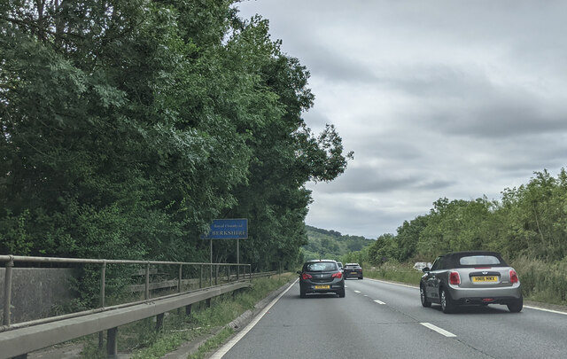
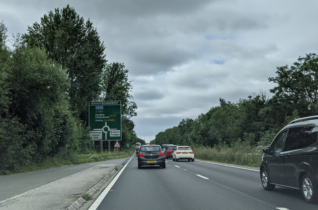
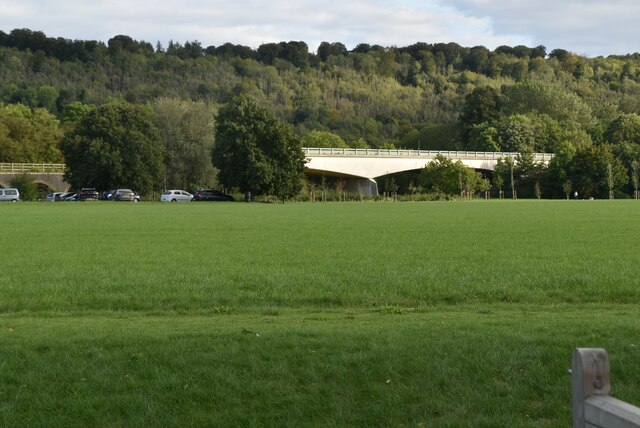
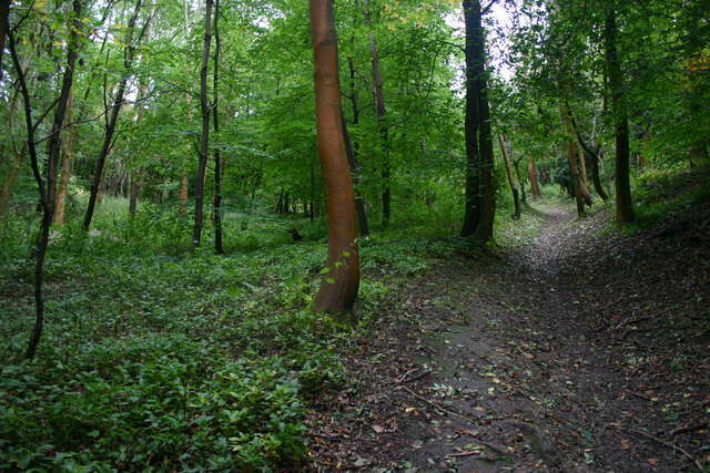
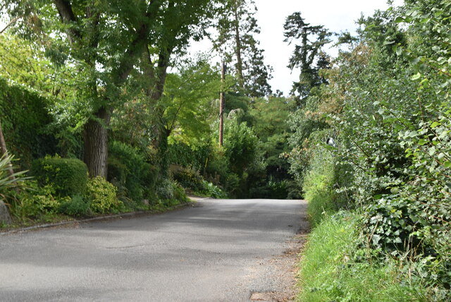
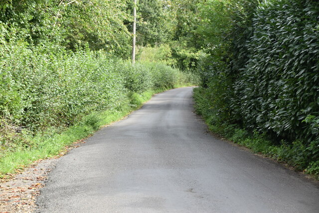
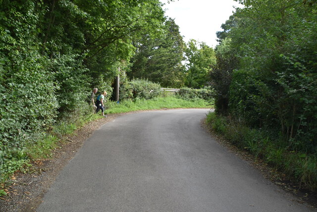
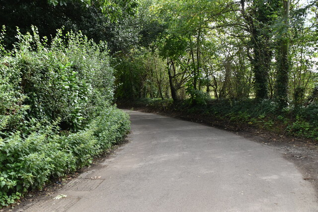
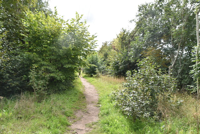
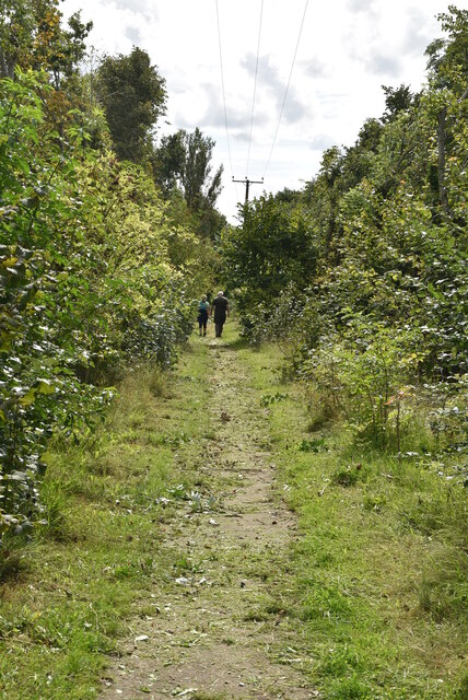
The hill offers stunning panoramic views of the surrounding countryside, including the picturesque Berkshire villages and the tranquil River Thames that meanders through the valley. Its strategic location has made it a popular spot for outdoor enthusiasts, hikers, and nature lovers. The hill provides various walking trails and paths that allow visitors to explore its beautiful landscape and enjoy the fresh air.
Vegetation on Mount Hill primarily consists of grasses, wildflowers, and scattered patches of shrubs. The hill is also home to a variety of wildlife, including birds, rabbits, and small mammals. The diverse ecosystem provides a habitat for various species of plants and animals, making it an important ecological site in the region.
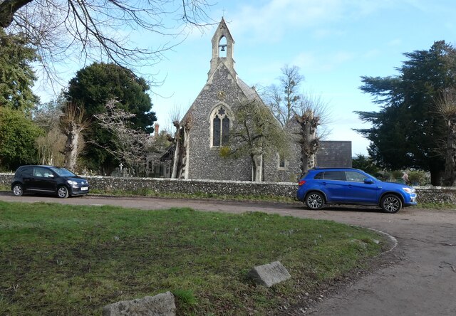
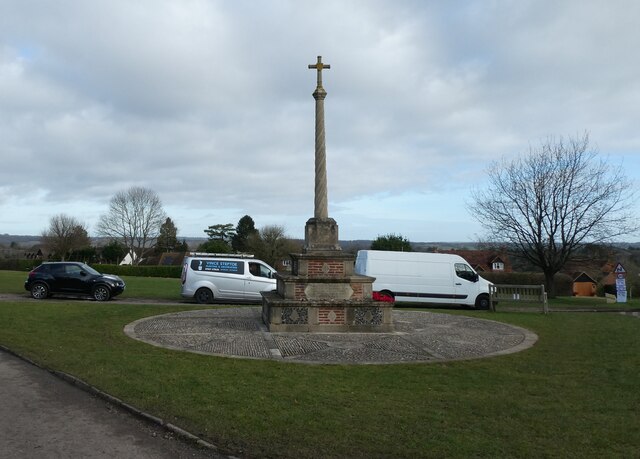
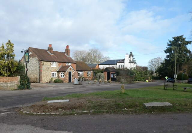
Adjacent to Mount Hill is a small village, which shares the same name. The village offers amenities for visitors, including cafes, shops, and accommodations. It serves as an ideal base for those looking to explore the hill and its surroundings.
Overall, Mount Hill in Berkshire is a scenic and accessible destination, providing visitors with the opportunity to appreciate the natural beauty of the area and immerse themselves in the tranquil English countryside.
If you have any feedback on the listing, please let us know in the comments section below.
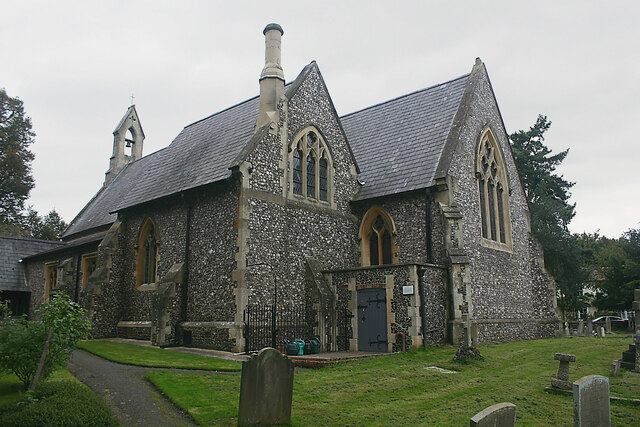
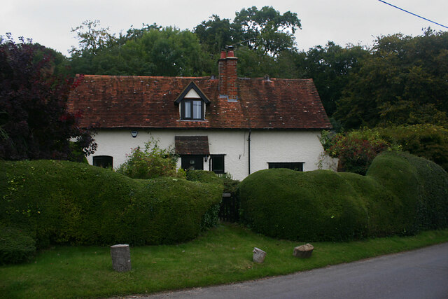
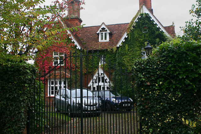
Mount Hill Images
Images are sourced within 2km of 51.552175/-0.74725177 or Grid Reference SU8684. Thanks to Geograph Open Source API. All images are credited.
Mount Hill is located at Grid Ref: SU8684 (Lat: 51.552175, Lng: -0.74725177)
Unitary Authority: Windsor and Maidenhead
Police Authority: Thames Valley
What 3 Words
///necks.hobbyists.project. Near Bisham, Berkshire
Nearby Locations
Related Wikis

Cookham Dean
Cookham Dean is a village to the west of the village of Cookham in Berkshire, England. It is the highest point of all the Cookhams (Cookham Rise, Cookham...

Bisham Woods
Bisham Woods is an 86-hectare (210-acre) biological Site of Special Scientific Interest (SSSI) west of Cookham in Berkshire. The site is also a Local Nature...
Hilda Carline
Hilda Anne Carline (1889–1950) was a British painter, daughter of the artist George Francis Carline, and first wife of the artist Stanley Spencer. She...
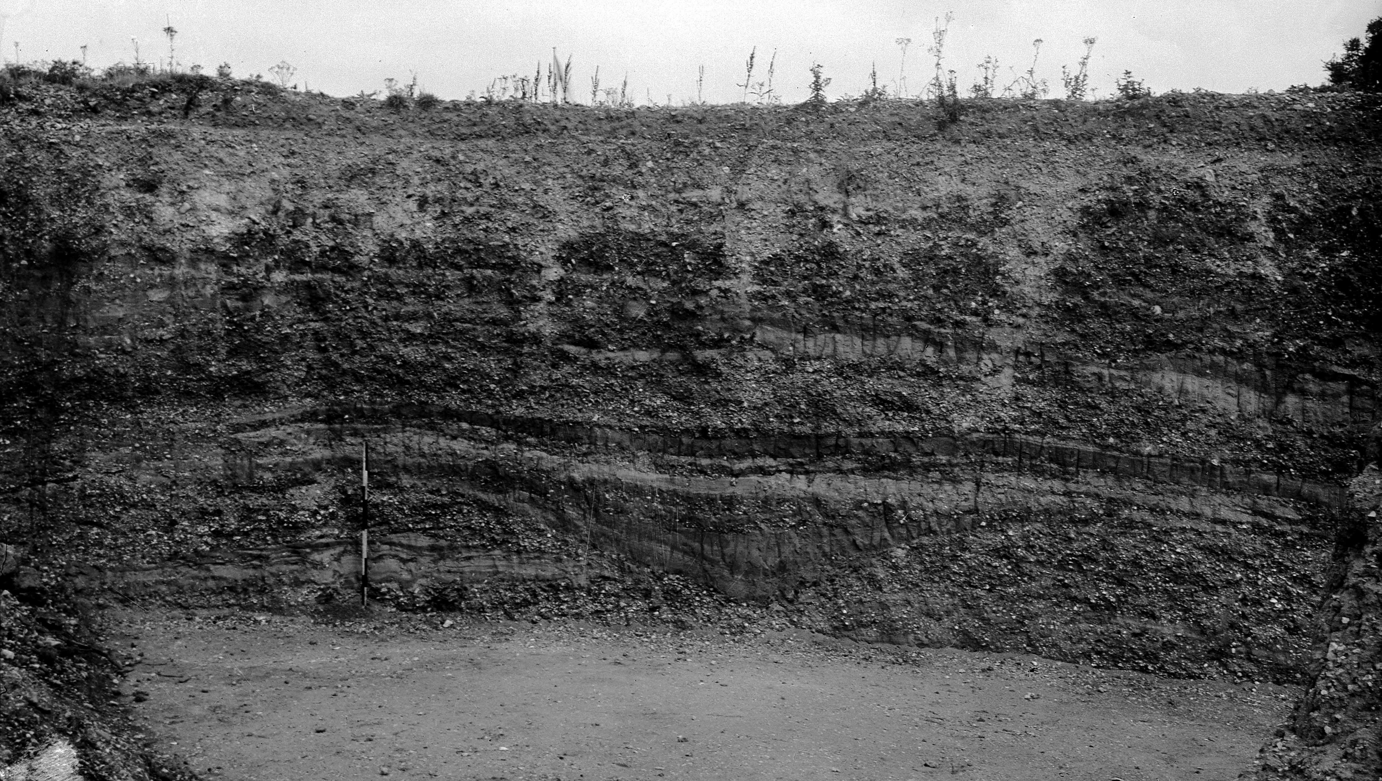
Cannoncourt Farm Pit
Cannoncourt Farm Pit is a 0.3-hectare (0.74-acre) geological Site of Special Scientific Interest in Maidenhead in Berkshire. It is a Geological Conservation...
Sir William Borlase's Grammar School Boat Club
Sir William Borlase's Grammar School Boat Club is a rowing club on the River Thames based at Longridge, Quarry Wood Road, Marlow. The club belongs to the...
Great Marlow School Boat Club
Great Marlow School Boat Club (GMSBC) is a rowing club on the River Thames, based at Longridge Activity Centre boathouse, Quarry Wood Road, Marlow, Buckinghamshire...
Marlow FM
Marlow FM 97.5 is a community radio station serving Marlow, Buckinghamshire in the United Kingdom. Marlow FM currently broadcasts on a Community Radio...

Park Wood and Goulding's Wood
Park Wood and Goulding's Wood is a 35.3-hectare (87-acre) Local nature reserve north-west of Maidenhead in Berkshire, England. It is owned by the Royal...
Nearby Amenities
Located within 500m of 51.552175,-0.74725177Have you been to Mount Hill?
Leave your review of Mount Hill below (or comments, questions and feedback).