Pigeonhouse Wood
Wood, Forest in Berkshire
England
Pigeonhouse Wood
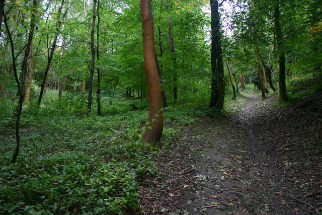
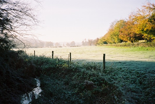
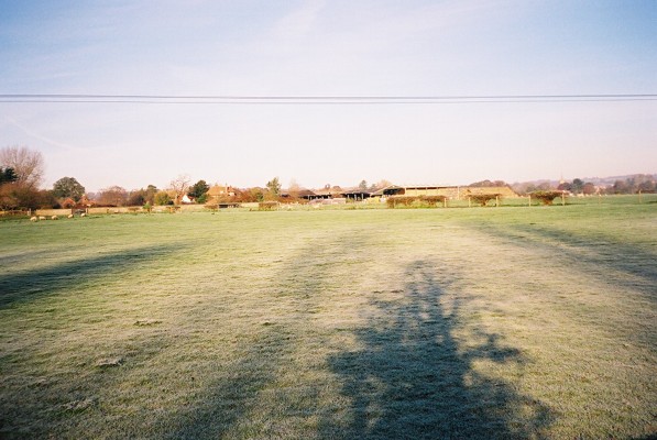
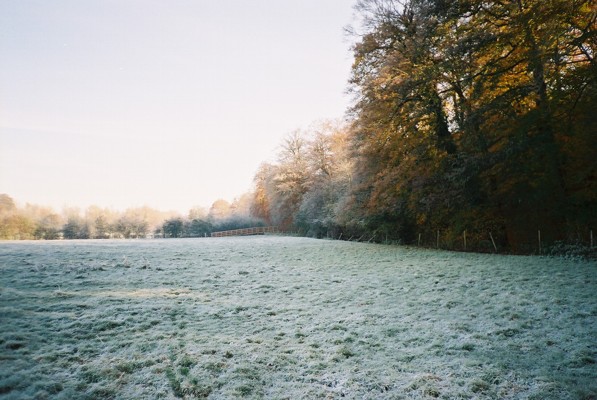
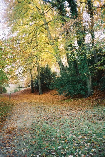
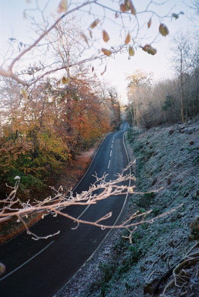
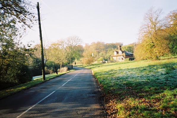
Pigeonhouse Wood is a picturesque woodland located in Berkshire, England. Situated in the heart of the county, this charming forest covers an area of approximately 50 acres, offering visitors a tranquil escape from the hustle and bustle of everyday life.
The woodland is predominantly made up of ancient trees, including oak, beech, and birch, which create a dense canopy that filters sunlight and creates a peaceful atmosphere. The forest floor is adorned with a variety of native flora, such as bluebells, primroses, and wild garlic, adding bursts of color throughout the seasons.
The wood is interlaced with a network of well-maintained footpaths and trails, making it a popular destination for hikers, nature enthusiasts, and dog walkers. Exploring these paths allows visitors to discover the hidden gems within the woodland, from babbling brooks to small clearings that provide picturesque picnic spots.
Pigeonhouse Wood is also home to a diverse range of wildlife. Birdwatchers will delight in the opportunity to spot various species, including woodpeckers, owls, and red kites, while the forest's dense undergrowth provides a habitat for small mammals such as foxes, squirrels, and rabbits.
In addition to its natural beauty, Pigeonhouse Wood holds historical significance. The name "Pigeonhouse" is derived from a now-vanished dovecote that once stood within the forest, serving as a shelter for pigeons bred for their meat and eggs.
Overall, Pigeonhouse Wood offers a captivating blend of natural beauty, recreational opportunities, and historical charm, making it a cherished destination for both locals and tourists alike.
If you have any feedback on the listing, please let us know in the comments section below.
Pigeonhouse Wood Images
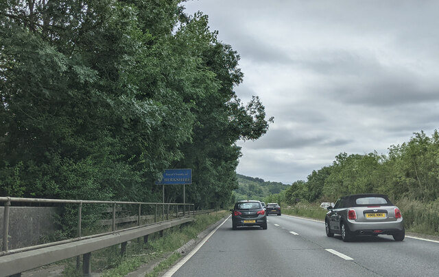
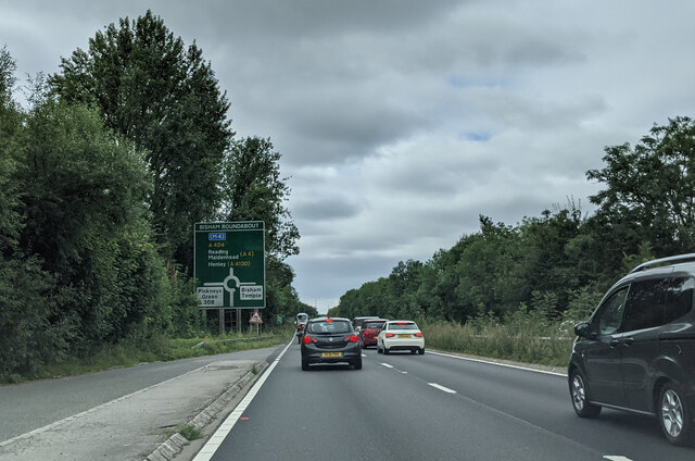
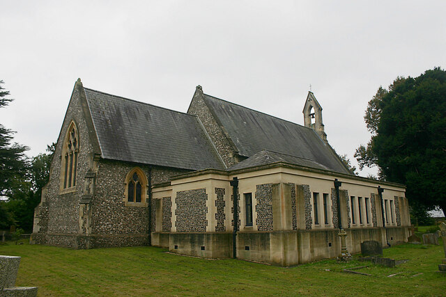
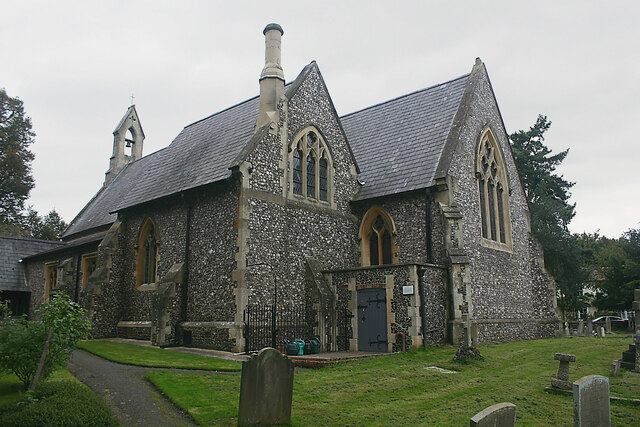
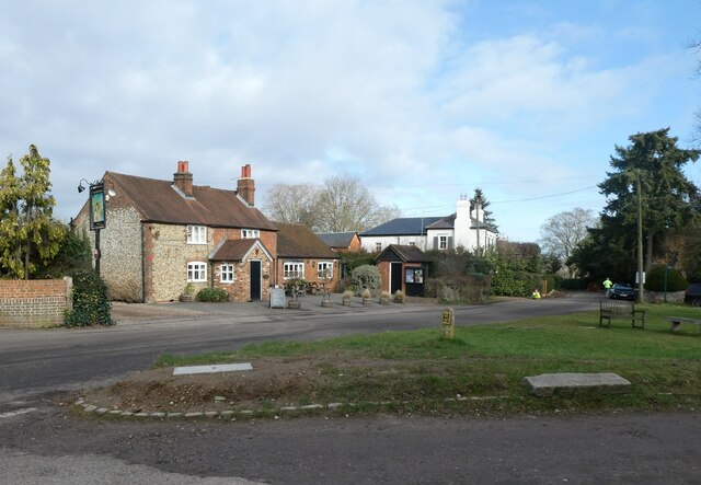
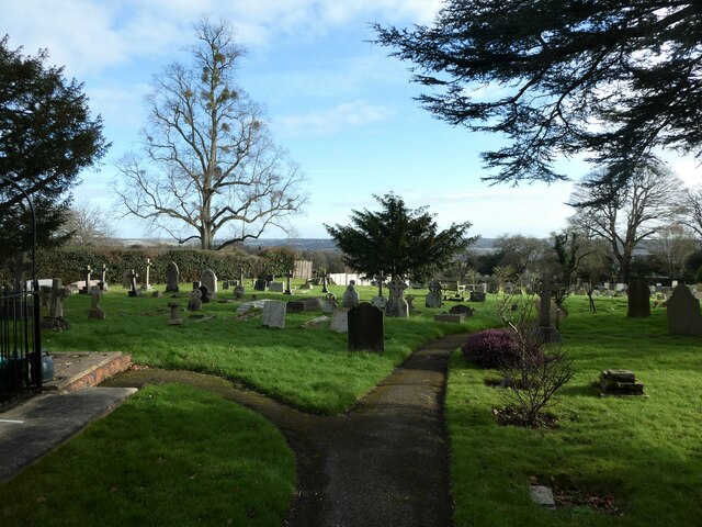
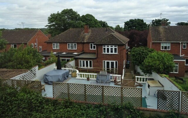
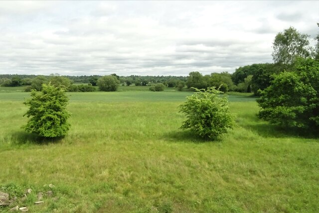
Images are sourced within 2km of 51.549355/-0.75094927 or Grid Reference SU8684. Thanks to Geograph Open Source API. All images are credited.
Pigeonhouse Wood is located at Grid Ref: SU8684 (Lat: 51.549355, Lng: -0.75094927)
Unitary Authority: Windsor and Maidenhead
Police Authority: Thames Valley
What 3 Words
///shuttered.initial.poorly. Near Bisham, Berkshire
Nearby Locations
Related Wikis

Cookham Dean
Cookham Dean is a village to the west of the village of Cookham in Berkshire, England. It is the highest point of all the Cookhams (Cookham Rise, Cookham...

Park Wood and Goulding's Wood
Park Wood and Goulding's Wood is a 35.3-hectare (87-acre) Local nature reserve north-west of Maidenhead in Berkshire, England. It is owned by the Royal...

Bisham Woods
Bisham Woods is an 86-hectare (210-acre) biological Site of Special Scientific Interest (SSSI) west of Cookham in Berkshire. The site is also a Local Nature...
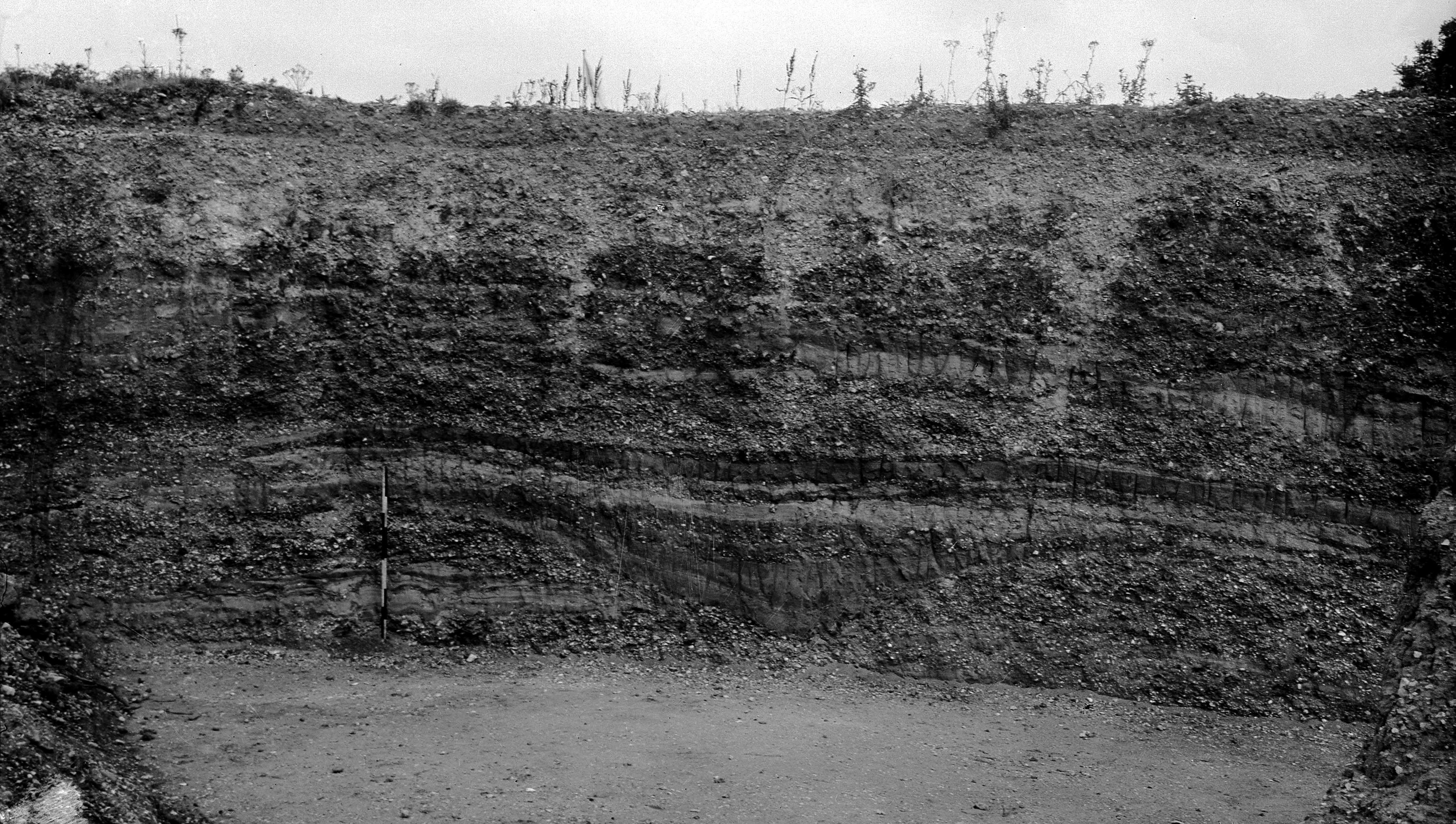
Cannoncourt Farm Pit
Cannoncourt Farm Pit is a 0.3-hectare (0.74-acre) geological Site of Special Scientific Interest in Maidenhead in Berkshire. It is a Geological Conservation...
Nearby Amenities
Located within 500m of 51.549355,-0.75094927Have you been to Pigeonhouse Wood?
Leave your review of Pigeonhouse Wood below (or comments, questions and feedback).