Bigfrith Common

Wood, Forest in Berkshire

England

Bigfrith Common

Entering Berkshire on the A404 south-bound
Entering Berkshire on the A404 south-bound Credit: Rob Purvis

Bigfrith Common is a picturesque woodland area located in the county of Berkshire, England. Covering an expansive area of approximately 200 acres, the common is a popular destination for nature enthusiasts and outdoor lovers alike.

The common is characterized by its dense forest of predominantly broadleaf trees, including oak, beech, and birch. These towering trees create a dense canopy that offers shelter and a habitat for a diverse range of wildlife species. The forest floor is adorned with a carpet of vibrant wildflowers, adding to the area's natural beauty.

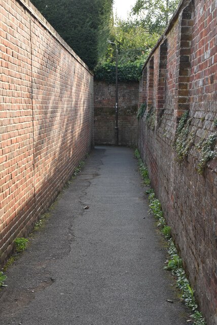
Visitors to Bigfrith Common can explore a network of well-maintained footpaths and trails that wind through the woodland. These paths offer stunning views of the surrounding countryside and provide an opportunity to observe the local flora and fauna up close. The common is also intersected by a charming stream, which adds to the tranquil ambiance of the area.

Birdwatchers flock to Bigfrith Common, as it provides an ideal habitat for various avian species. The common is home to woodpeckers, owls, and numerous songbirds, making it a haven for birdwatching enthusiasts.

The management of Bigfrith Common is overseen by the local council, which ensures the preservation and conservation of this natural treasure. The common is well-maintained, with regular clearing and maintenance work carried out to protect the delicate ecosystem.

Overall, Bigfrith Common in Berkshire is a cherished natural gem, offering a serene escape from the hustle and bustle of everyday life. With its enchanting woodland, diverse wildlife, and well-kept trails, it is a perfect destination for those seeking solace in nature.

If you have any feedback on the listing, please let us know in the comments section below.

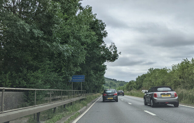
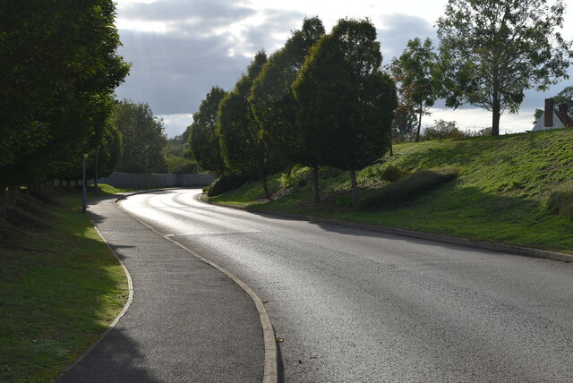
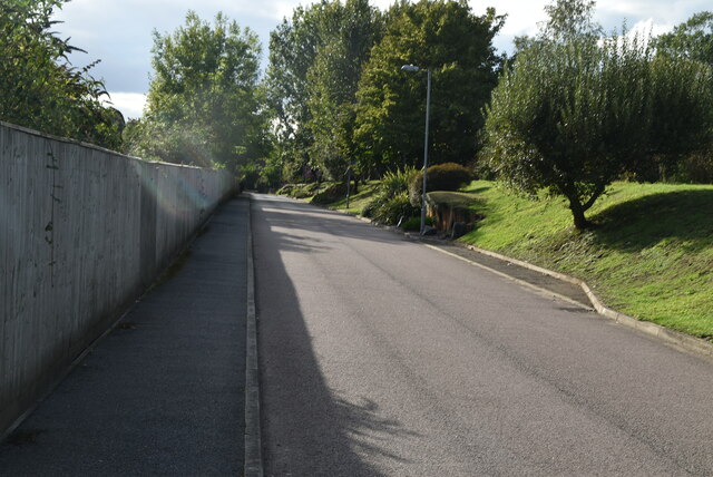
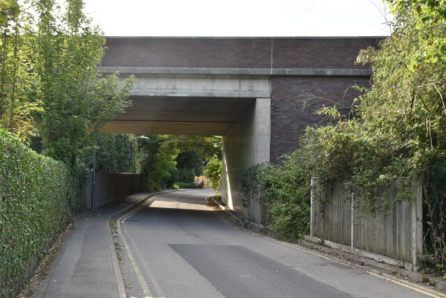
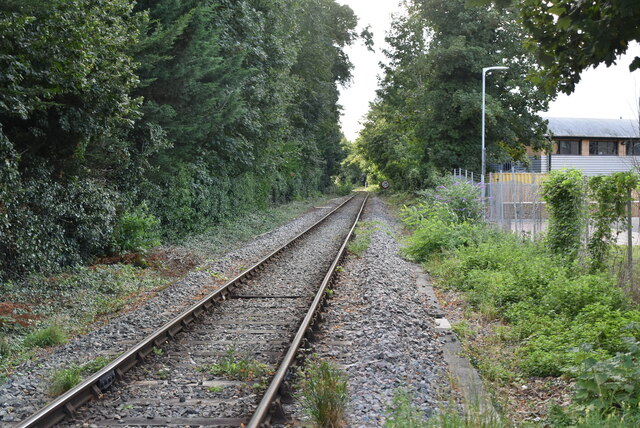
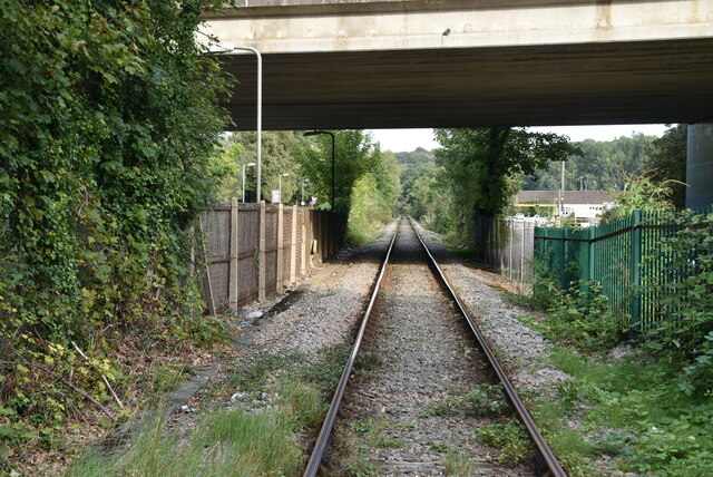
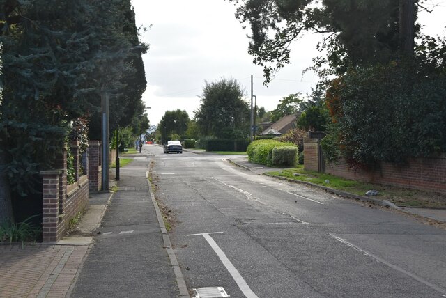
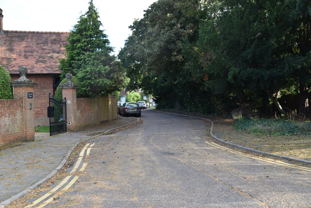
Bigfrith Common Images

Images are sourced within 2km of 51.556062/-0.75165993 or Grid Reference SU8684. Thanks to Geograph Open Source API. All images are credited.

Entering Berkshire on the A404 south-bound
Approaching roundabout on the A404
Crowne Plaza Hotel Crowne Plaza is a chain of upscale hotels catering to business travelers and to the meetings and conventions market. It forms part of the InterContinental Hotels Group family of brands, which include InterContinental Hotels & Resorts and Holiday Inn Hotels & Resorts, and operates in 52 countries, usually located in city centres, resorts, or near major airports. The chain ws founded in 1983, in the USA, and has nearly 400 hotels worldwide.
Wikipedia: <span class="nowrap"><a title="http://en.wikipedia.org/wiki/Crowne_Plaza" rel="nofollow ugc noopener" href="http://en.wikipedia.org/wiki/Crowne_Plaza">Link</a><img style="margin-left:2px;" alt="External link" title="External link - shift click to open in new window" src="https://s1.geograph.org.uk/img/external.png" width="10" height="10"/></span>
Crowne Plaza Hotel
Crowne Plaza is a chain of upscale hotels catering to business travelers and to the meetings and conventions market. It forms part of the InterContinental Hotels Group family of brands, which include InterContinental Hotels & Resorts and Holiday Inn Hotels & Resorts, and operates in 52 countries, usually located in city centres, resorts, or near major airports. The chain ws founded in 1983, in the USA, and has nearly 400 hotels worldwide. Wikipedia: LinkExternal link
Crowne Plaza access road
A404 bridge
A404 bridge
Travelodge, Marlow Travelodge is the second largest budget hotel chain in the UK, with over 450 budget hotels.
Website: <span class="nowrap"><a title="http://www.travelodge.co.uk/" rel="nofollow ugc noopener" href="http://www.travelodge.co.uk/">Link</a><img style="margin-left:2px;" alt="External link" title="External link - shift click to open in new window" src="https://s1.geograph.org.uk/img/external.png" width="10" height="10"/></span> 
Wikipedia: <span class="nowrap"><a title="http://en.wikipedia.org/wiki/Travelodge_UK" rel="nofollow ugc noopener" href="http://en.wikipedia.org/wiki/Travelodge_UK">Link</a><img style="margin-left:2px;" alt="External link" title="External link - shift click to open in new window" src="https://s1.geograph.org.uk/img/external.png" width="10" height="10"/></span>
Travelodge, Marlow
Travelodge is the second largest budget hotel chain in the UK, with over 450 budget hotels. Website: LinkExternal link Wikipedia: LinkExternal link
Marlow Branch Line The Marlow Branch Line is a 7.25-mile  single track railway line between Maidenhead, Berkshire, Bourne End and Marlow. Passenger services are operated by First Great Western using Class 165 diesel trains. The line connects to the Great Western Main Line at Maidenhead station, and uses a section of the former Wycombe Railway line to High Wycombe together with the former Great Marlow Railway.
Wikipedia: <span class="nowrap"><a title="http://en.wikipedia.org/wiki/Marlow_Branch_Line" rel="nofollow ugc noopener" href="http://en.wikipedia.org/wiki/Marlow_Branch_Line">Link</a><img style="margin-left:2px;" alt="External link" title="External link - shift click to open in new window" src="https://s1.geograph.org.uk/img/external.png" width="10" height="10"/></span>
Marlow Branch Line
The Marlow Branch Line is a 7.25-mile single track railway line between Maidenhead, Berkshire, Bourne End and Marlow. Passenger services are operated by First Great Western using Class 165 diesel trains. The line connects to the Great Western Main Line at Maidenhead station, and uses a section of the former Wycombe Railway line to High Wycombe together with the former Great Marlow Railway. Wikipedia: LinkExternal link
Gossmore Lane
Gossmore Lane
Firview Close
Firview Close
A404 flyover The A404 runs 44 miles from Paddington, London to Maidenhead, via High Wycombe.
<span class="nowrap"><a title="http://www.sabre-roads.org.uk/wiki/index.php?title=A404" rel="nofollow ugc noopener" href="http://www.sabre-roads.org.uk/wiki/index.php?title=A404">Link</a><img style="margin-left:2px;" alt="External link" title="External link - shift click to open in new window" src="https://s1.geograph.org.uk/img/external.png" width="10" height="10"/></span>
A404 flyover
The A404 runs 44 miles from Paddington, London to Maidenhead, via High Wycombe. LinkExternal link
Gossmore Lane
Gossmore Lane
Marlow Mill
Marlow Mill
Marlow Mill
Marlow Mill
Marlow Weir Marlow Lock is a lock and weir situated on the River Thames in the town of Marlow, Buckinghamshire, England. The first pound lock was built by the Thames Navigation Commission in 1773. The present lock dates from 1927.
The weir stretches a long way upstream above the lock.
Marlow Weir
Marlow Lock is a lock and weir situated on the River Thames in the town of Marlow, Buckinghamshire, England. The first pound lock was built by the Thames Navigation Commission in 1773. The present lock dates from 1927. The weir stretches a long way upstream above the lock.
Mill Rd
Mill Rd
Thames Path This National Trail is 184 miles (294 km) long, following the River Thames from its source in the Cotswolds almost to the sea, finishing at the Thames Barrier in Greenwich.
The trail keeps to the banks of the river most of the route.
Website: <span class="nowrap"><a title="http://www.nationaltrail.co.uk/ThamesPath/" rel="nofollow ugc noopener" href="http://www.nationaltrail.co.uk/ThamesPath/">Link</a><img style="margin-left:2px;" alt="External link" title="External link - shift click to open in new window" src="https://s1.geograph.org.uk/img/external.png" width="10" height="10"/></span>
Thames Path
This National Trail is 184 miles (294 km) long, following the River Thames from its source in the Cotswolds almost to the sea, finishing at the Thames Barrier in Greenwich. The trail keeps to the banks of the river most of the route. Website: LinkExternal link
Show me another place!

Bigfrith Common is located at Grid Ref: SU8684 (Lat: 51.556062, Lng: -0.75165993)

Unitary Authority: Windsor and Maidenhead

Police Authority: Thames Valley

What 3 Words

///query.downhill.windmill. Near Bisham, Berkshire

Related Wikis

Cookham Dean

Cookham Dean is a village to the west of the village of Cookham in Berkshire, England. It is the highest point of all the Cookhams (Cookham Rise, Cookham...

Bisham Woods

Bisham Woods is an 86-hectare (210-acre) biological Site of Special Scientific Interest (SSSI) west of Cookham in Berkshire. The site is also a Local Nature...

Sir William Borlase's Grammar School Boat Club

Sir William Borlase's Grammar School Boat Club is a rowing club on the River Thames based at Longridge, Quarry Wood Road, Marlow. The club belongs to the...

Great Marlow School Boat Club

Great Marlow School Boat Club (GMSBC) is a rowing club on the River Thames, based at Longridge Activity Centre boathouse, Quarry Wood Road, Marlow, Buckinghamshire...

Marlow FM

Marlow FM 97.5 is a community radio station serving Marlow, Buckinghamshire in the United Kingdom. Marlow FM currently broadcasts on a Community Radio...

Marlow By-pass Bridge

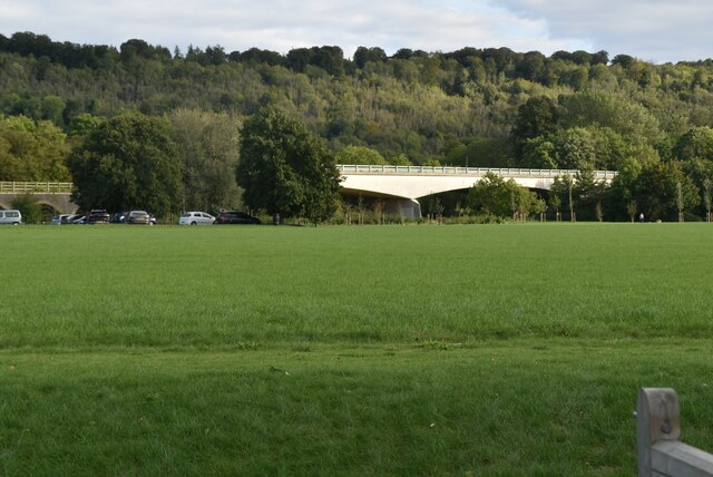
Marlow By-pass Bridge is a road bridge across the River Thames in England. It carries the A404 road between Maidenhead, Berkshire and High Wycombe, Buckinghamshire...

Marlow RUFC

Marlow Rugby Union Football Club is an English rugby union club formed in 1947. Marlow Rugby Club play at Riverwoods Drive] which is located in Marlow...

Marlow Urban District

Marlow Urban District was a local government authority in the administrative county of Buckinghamshire, England, between 1896 and 1974, covering the town...

Nearby Amenities

Located within 500m of 51.556062,-0.75165993
Post Office
Jolly Farmer
Addr Postcode: SL6 9PD
Addr Street: Church Road
Fhrs Id: 734490
Note: not checked, but notice on old post office states that this is new location
Source: survey
Source Addr: FHRS Open Data
Lat/Long: 51.5581948/-0.7454077
Post Box
Operator: Royal Mail
Post Box Type: lamp
Ref: SL6 110
Royal Cypher: EIIR
Royal Cypher Wikidata: Q33102113
Source: GPS
Lat/Long: 51.5551978/-0.7544872
Disused Amenity: post_box
Note: duplicate ref corrected
Operator: Royal Mail
Ref: SL6 92
Source: GPS
Lat/Long: 51.5571146/-0.7496396
Public Bookcase
Booth: K6
Colour: red
Disused Amenity: telephone
Man Made: telephone_box
Old Phone: +44 1628 484308
Public Bookcase Type: phone_box
Source: GPS
Lat/Long: 51.5569154/-0.7498119
Sir Henry Walford Davies
Historic: memorial
Memorial: plaque
Openplaques Id: 1826
Lat/Long: 51.5569981/-0.7466605
Pub
Jolly Farmer
Addr Postcode: SL6 9PD
Addr Street: Church Road
Fhrs Id: 543485
Source Addr: FHRS Open Data
Lat/Long: 51.5582237/-0.7453586
Barrier: kissing_gate
Foot: yes
Lat/Long: 51.5553934/-0.7546405
Barrier: stile
Foot: yes
Note: squeeze_stile
Lat/Long: 51.5595204/-0.7472736
Turning Circle
Lat/Long: 51.5539522/-0.7551424
Direction: 160
Fixme: survey for panel count. Also check SW roof face
Generator Method: photovoltaic
Generator Output Electricity: yes
Generator Solar Modules: 9
Generator Source: solar
Generator Type: solar_photovoltaic_panel
Location: roof
Power: generator
Lat/Long: 51.5587643/-0.7571924
The data included in this document is from www.openstreetmap.org. The data is made available under ODbL.

Have you been to Bigfrith Common?

Leave your review of Bigfrith Common below (or comments, questions and feedback).