Egypt Plantation

Wood, Forest in Leicestershire Melton

England

Egypt Plantation

Sewstern Lane crossing the Salt Way at Three Queens Three Queens is the name of the wood on the left. It sits at the corner of the crossing of two ancient routes: Sewstern Lane (crossing straight ahead) and the Salt Way (road). The area around the wood contains several Bronze Age burial mounds (barrows); and the name 'Three Queens' may derive from these - because when one of the mounds was excavated, it was found to contain the skeleton of a woman. <span class="nowrap"><a title="https://heritage-explorer.lincolnshire.gov.uk/Monument/MLI33941" rel="nofollow ugc noopener" href="https://heritage-explorer.lincolnshire.gov.uk/Monument/MLI33941">Link</a><img style="margin-left:2px;" alt="External link" title="External link - shift click to open in new window" src="https://s1.geograph.org.uk/img/external.png" width="10" height="10"/></span>
<span class="nowrap"><a title="https://www.bottesfordhistory.org.uk/content/about/read-it-hear-not-forgetting/not-forgetting-chapter-9-getting-about-in-the-past" rel="nofollow ugc noopener" href="https://www.bottesfordhistory.org.uk/content/about/read-it-hear-not-forgetting/not-forgetting-chapter-9-getting-about-in-the-past">Link</a><img style="margin-left:2px;" alt="External link" title="External link - shift click to open in new window" src="https://s1.geograph.org.uk/img/external.png" width="10" height="10"/></span> states "Here stood an 18th Century hostelry "of ill repute", The Three Queens, frequented by cattle drovers and perhaps footpads. The inn eventually closed when the ancient trackways were replaced by newer roads, and there is nothing at the site now except a muddy track crossing a minor road."
Sewstern Lane crossing the Salt Way at Three Queens Credit: Tim Heaton

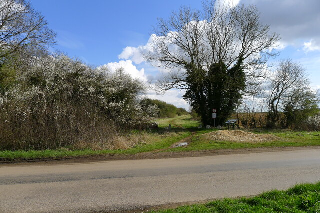
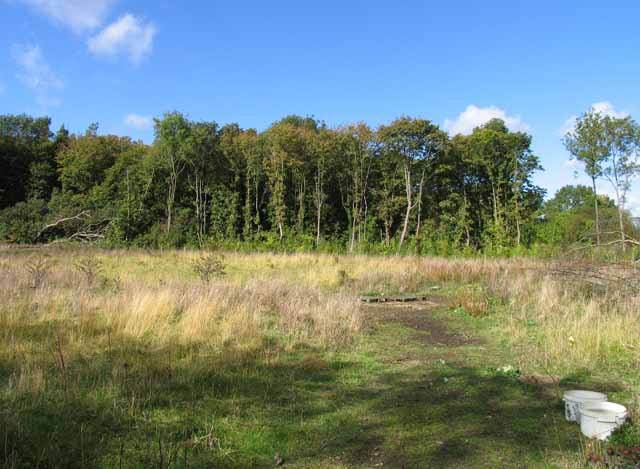
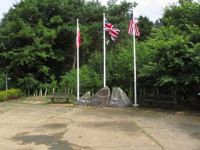
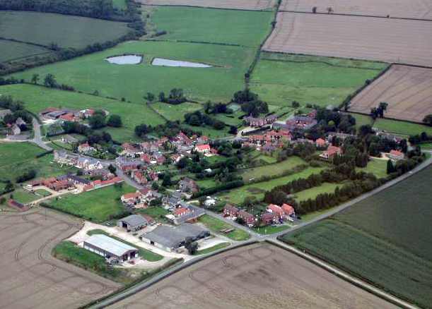
Egypt Plantation is a woodland area located in Leicestershire, England. Situated in the heart of the county, it covers a vast expanse of approximately 500 acres. The plantation is part of the wider Charnwood Forest and is named after the Egyptian-style obelisk monument that stands within its boundaries.

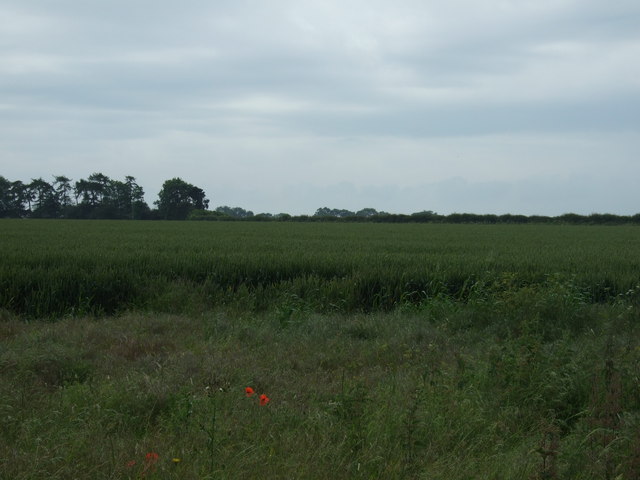
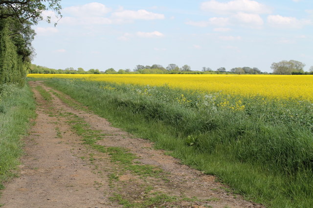
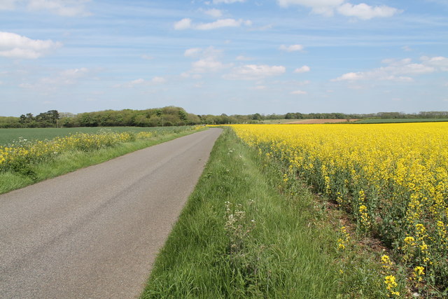
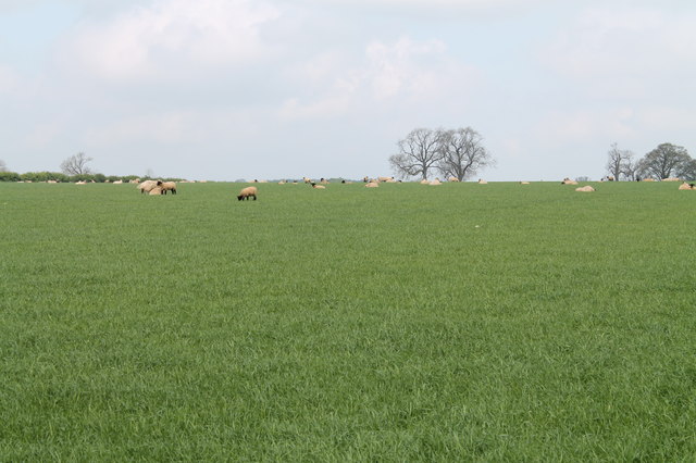
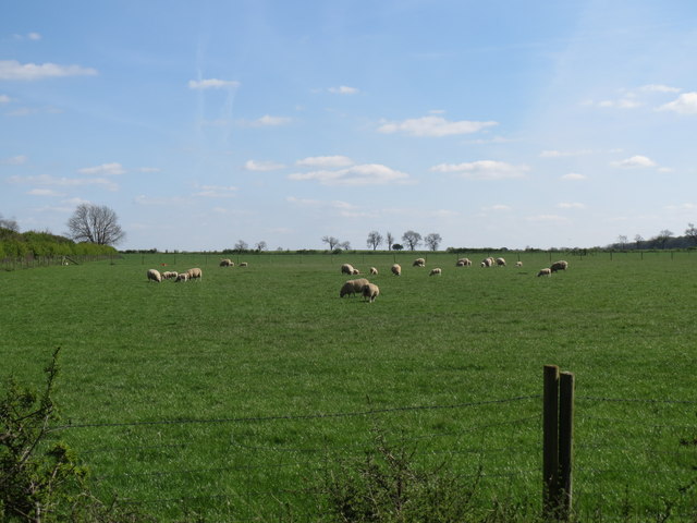
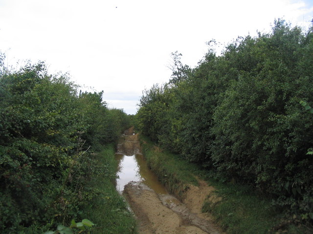
The woodland is characterized by a diverse range of tree species, including oak, ash, birch, and beech, which create a dense canopy and provide a rich habitat for a variety of wildlife. The forest floor is adorned with a carpet of wildflowers during the spring and summer months, adding to the natural beauty of the area.

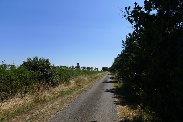
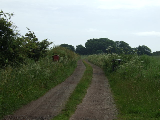
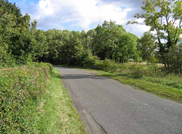
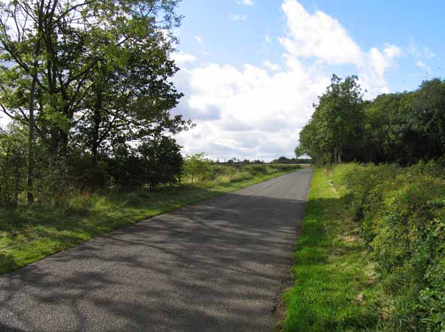
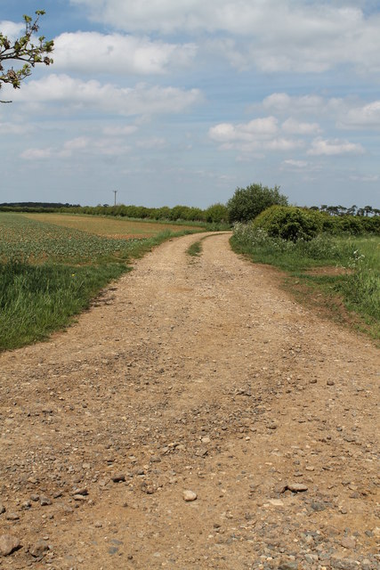
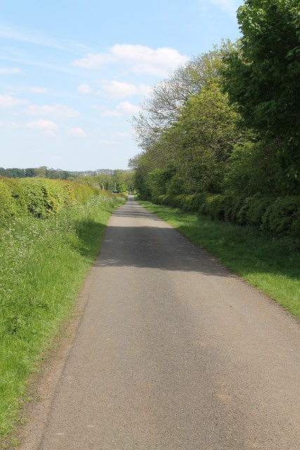
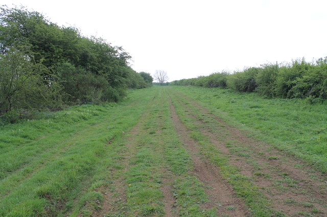
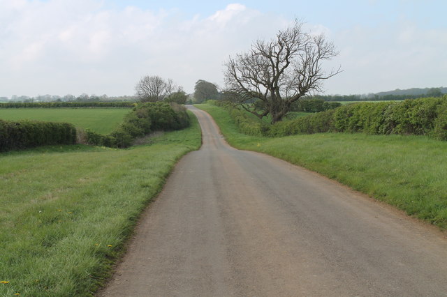
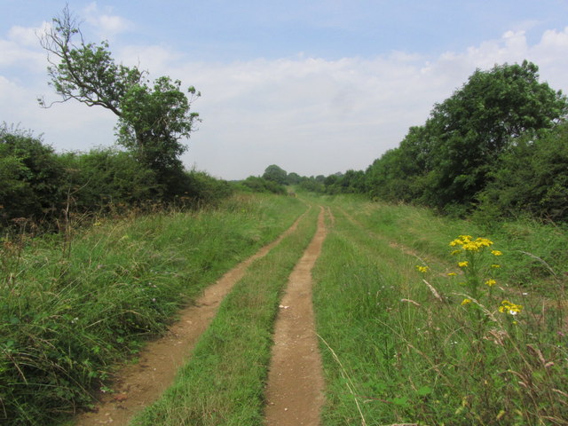
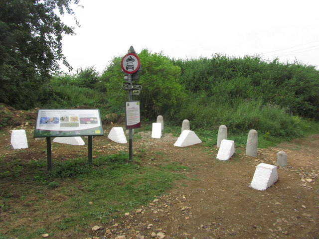
Egypt Plantation offers several walking trails and paths that wind through the woodland, allowing visitors to explore its tranquil surroundings. These paths are well-maintained and offer stunning views of the surrounding countryside. The plantation is a popular destination for nature enthusiasts, hikers, and cyclists who are drawn to its peaceful atmosphere and abundant wildlife.

The area also holds historical significance, as it was once a medieval hunting ground. The obelisk monument, which stands at the highest point of the plantation, was erected in the 19th century as a tribute to the Third Earl of Stamford, who owned the land.

Overall, Egypt Plantation is a picturesque woodland area in Leicestershire, known for its diverse flora and fauna, scenic walking trails, and historical significance. It offers a serene escape from the hustle and bustle of everyday life, providing visitors with an opportunity to immerse themselves in nature's beauty.

If you have any feedback on the listing, please let us know in the comments section below.

Egypt Plantation Images

Images are sourced within 2km of 52.841714/-0.71419314 or Grid Reference SK8627. Thanks to Geograph Open Source API. All images are credited.

Sewstern Lane crossing the Salt Way at Three Queens Three Queens is the name of the wood on the left. It sits at the corner of the crossing of two ancient routes: Sewstern Lane (crossing straight ahead) and the Salt Way (road). The area around the wood contains several Bronze Age burial mounds (barrows); and the name 'Three Queens' may derive from these - because when one of the mounds was excavated, it was found to contain the skeleton of a woman. <span class="nowrap"><a title="https://heritage-explorer.lincolnshire.gov.uk/Monument/MLI33941" rel="nofollow ugc noopener" href="https://heritage-explorer.lincolnshire.gov.uk/Monument/MLI33941">Link</a><img style="margin-left:2px;" alt="External link" title="External link - shift click to open in new window" src="https://s1.geograph.org.uk/img/external.png" width="10" height="10"/></span>
<span class="nowrap"><a title="https://www.bottesfordhistory.org.uk/content/about/read-it-hear-not-forgetting/not-forgetting-chapter-9-getting-about-in-the-past" rel="nofollow ugc noopener" href="https://www.bottesfordhistory.org.uk/content/about/read-it-hear-not-forgetting/not-forgetting-chapter-9-getting-about-in-the-past">Link</a><img style="margin-left:2px;" alt="External link" title="External link - shift click to open in new window" src="https://s1.geograph.org.uk/img/external.png" width="10" height="10"/></span> states "Here stood an 18th Century hostelry "of ill repute", The Three Queens, frequented by cattle drovers and perhaps footpads. The inn eventually closed when the ancient trackways were replaced by newer roads, and there is nothing at the site now except a muddy track crossing a minor road."
Sewstern Lane crossing the Salt Way at Three Queens
Three Queens is the name of the wood on the left. It sits at the corner of the crossing of two ancient routes: Sewstern Lane (crossing straight ahead) and the Salt Way (road). The area around the wood contains several Bronze Age burial mounds (barrows); and the name 'Three Queens' may derive from these - because when one of the mounds was excavated, it was found to contain the skeleton of a woman. LinkExternal link LinkExternal link states "Here stood an 18th Century hostelry "of ill repute", The Three Queens, frequented by cattle drovers and perhaps footpads. The inn eventually closed when the ancient trackways were replaced by newer roads, and there is nothing at the site now except a muddy track crossing a minor road."
Road south-east of Croxton Kerrial A very quiet, narrow lane. Cooper's Plantation, and the far end, contains part of King Lud's Intrenchments
Road south-east of Croxton Kerrial
A very quiet, narrow lane. Cooper's Plantation, and the far end, contains part of King Lud's Intrenchments
Track towards Tipping's Lodge
Farmland, Tipping's Lodge
King Lud's Entrenchments
Main Street towards Hungarton
Main Street towards Saltby
Track to Tipping's Lodge
Track to Saltby Airfield RAF Saltby opened in 1942, and was closed in 1955. Now home to Buckminster Gliding Club.
Track to Saltby Airfield
RAF Saltby opened in 1942, and was closed in 1955. Now home to Buckminster Gliding Club.
Lane through the Oil Seed Rape
A lane along Cooper's Plantation
The Drift (track) looking south east The Way is so named because it crosses an area which was occupied by Norse invaders. From the banks of the River Humber it crosses the Lincolnshire Wolds to Caistor, then along the Bain valley to Horncastle from where the Spa Trail is followed along the trackbed of a former railway to Woodhall Spa and along the Witham Valley, crossing flat fenland to Lincoln. Turning along the limestone escarpment of Lincoln Cliff and over Lincoln Heath, the route of the prehistoric Sewstern Lane is traced to reach Woolsthorpe Locks on the Grantham Canal. Another section of Sewstern Lane and other old tracks are followed to Thistleton from where the Way takes field-paths and lanes past Greetham, Exton and Rutland Water. At Oakham it links with the Macmillan Way and the Hereward Way. 
Paths are marked with a Viking helmet on a yellow disc.
The Drift (track) looking south east
The Way is so named because it crosses an area which was occupied by Norse invaders. From the banks of the River Humber it crosses the Lincolnshire Wolds to Caistor, then along the Bain valley to Horncastle from where the Spa Trail is followed along the trackbed of a former railway to Woodhall Spa and along the Witham Valley, crossing flat fenland to Lincoln. Turning along the limestone escarpment of Lincoln Cliff and over Lincoln Heath, the route of the prehistoric Sewstern Lane is traced to reach Woolsthorpe Locks on the Grantham Canal. Another section of Sewstern Lane and other old tracks are followed to Thistleton from where the Way takes field-paths and lanes past Greetham, Exton and Rutland Water. At Oakham it links with the Macmillan Way and the Hereward Way. Paths are marked with a Viking helmet on a yellow disc.
Wyville Road Heading south west.
Wyville Road
Heading south west.
Grass field with sheep Near Figure Eight plantation.
Grass field with sheep
Near Figure Eight plantation.
Sheep and lambs
Sheep and lambs
Viking Way along The Drift WNW of Skillington
Memorial at former RAF base - Saltby Airfield, Lincs
Viking Way - Vehicle barrier at The Drift near Saltby
Show me another place!

Egypt Plantation is located at Grid Ref: SK8627 (Lat: 52.841714, Lng: -0.71419314)

Administrative County: Leicestershire

District: Melton

Police Authority: Leicestershire

What 3 Words

///originate.realm.orchestra. Near Colsterworth, Lincolnshire

Related Wikis

King Lud's Entrenchments and The Drift

King Lud's Entrenchments and The Drift is a 23.9 hectares (59 acres) biological Site of Special Scientific Interest which straddles the border between...

RAF Saltby

Royal Air Force Saltby or more simply RAF Saltby is a former Royal Air Force station located near Saltby, Leicestershire, England. It is now home to Buckminster...

Saltby

Saltby is a village and former civil parish, now in the parish of Sproxton, in the Melton borough of Leicestershire, England. It lies close to the River...

Sproxton Quarry

Sproxton Quarry is a 5.4 hectares (13 acres) geological Site of Special Scientific Interest north-east of Sproxton in Leicestershire. It is a Geological...

Nearby Amenities

Located within 500m of 52.841714,-0.71419314
Ele: 131
Lat/Long: 52.844819/-0.7088867
Ele: 134
Lat/Long: 52.8432571/-0.7078973
The data included in this document is from www.openstreetmap.org. The data is made available under ODbL.

Have you been to Egypt Plantation?

Leave your review of Egypt Plantation below (or comments, questions and feedback).